Craig Hope

Valley in Peeblesshire

Scotland

Craig Hope

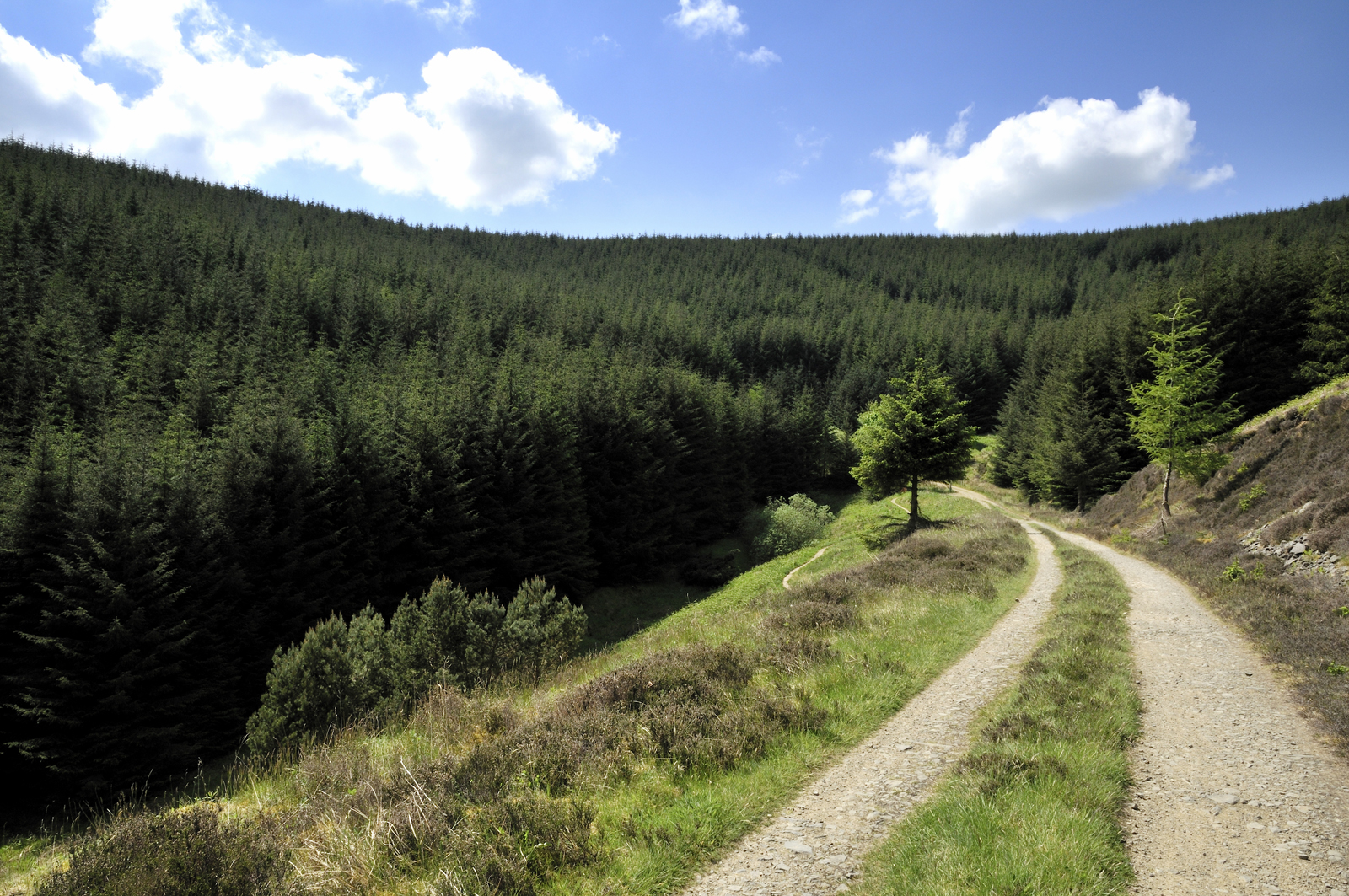
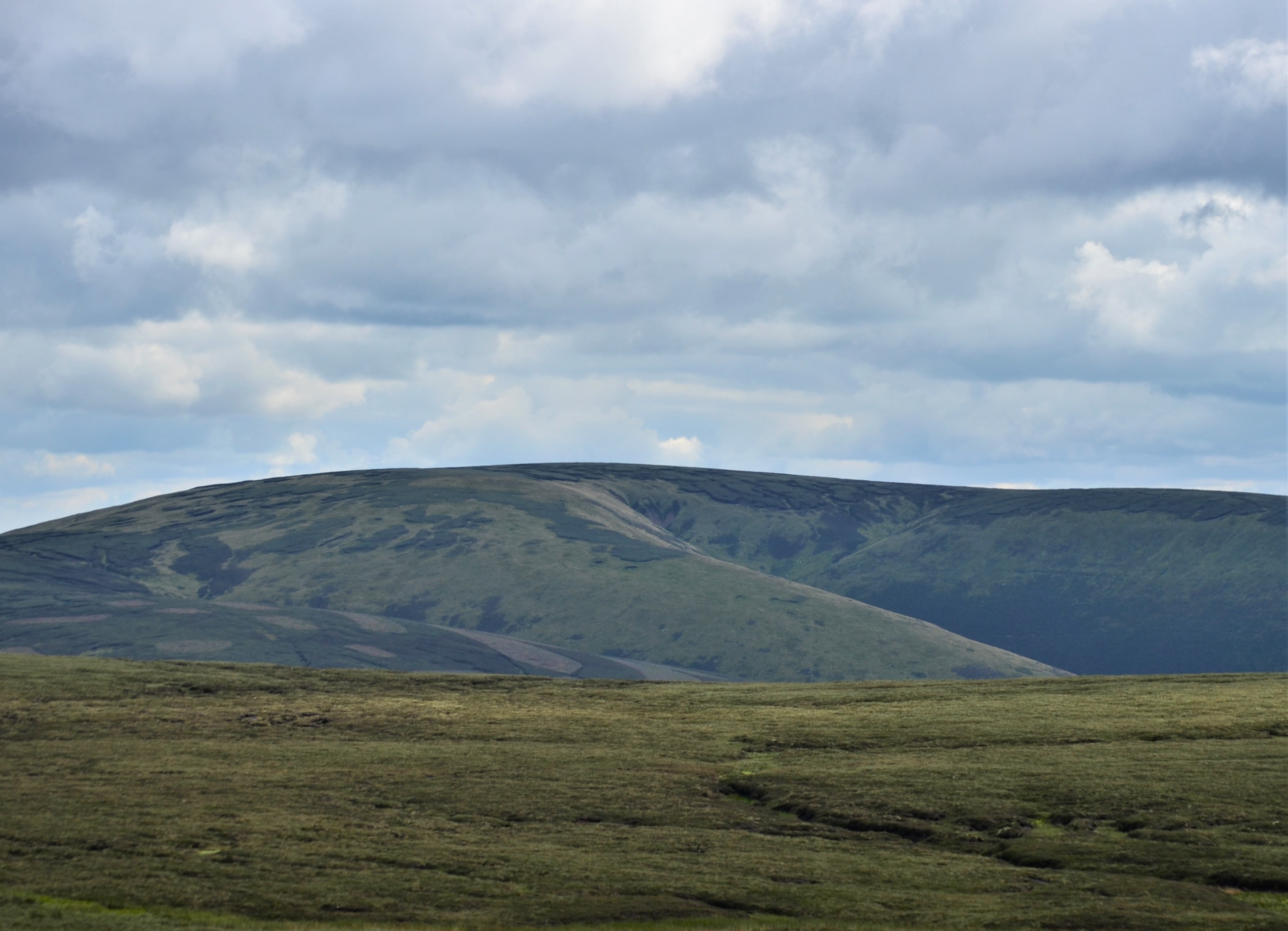
Track at eastern end of Bowbeat Wind Farm - view to Blackhope Scar
Track at eastern end of Bowbeat Wind Farm - view to Blackhope Scar Credit: Colin Park

Craig Hope is a picturesque valley located in Peeblesshire, Scotland. Situated within the beautiful Scottish Borders region, this tranquil valley offers a serene and peaceful escape from the hustle and bustle of city life.

The valley is nestled between rolling hills and surrounded by lush greenery, providing breathtaking views in every direction. It is an ideal destination for nature lovers and outdoor enthusiasts, offering numerous opportunities for hiking, cycling, and wildlife spotting. The valley is home to an array of flora and fauna, with wildflowers dotting the landscape in spring and summer.

One of the highlights of Craig Hope is the River Tweed, which flows through the valley, offering a picturesque setting for fishing and boating. The river is well-known for its abundant salmon population, attracting anglers from far and wide.

The valley is also home to several charming villages, where visitors can immerse themselves in the local culture and enjoy the warm hospitality of the residents. These villages offer quaint shops, cozy cafes, and traditional pubs, providing a taste of rural Scottish life.

For history enthusiasts, Craig Hope boasts several historical landmarks, including ancient castles and ruins. These sites offer a glimpse into the region's rich past and provide a fascinating insight into Scotland's history.

Overall, Craig Hope is a hidden gem in Peeblesshire, offering a tranquil and scenic escape for those seeking natural beauty, outdoor activities, and a slice of Scottish heritage.

If you have any feedback on the listing, please let us know in the comments section below.

Craig Hope Images

Images are sourced within 2km of 55.700588/-3.1142857 or Grid Reference NT3045. Thanks to Geograph Open Source API. All images are credited.

Track at eastern end of Bowbeat Wind Farm - view to Blackhope Scar
Track junction at Hunters Knowe The track to the right is not shown on the 1:25,000 map, but it is likely to have been put in before bringing in the wind turbines to Bowbeat. The sign advises that the road is 'liable to icing'.
Track junction at Hunters Knowe
The track to the right is not shown on the 1:25,000 map, but it is likely to have been put in before bringing in the wind turbines to Bowbeat. The sign advises that the road is 'liable to icing'.
Leithen Water at Hunters Knowe The cottage at Hunters Knowe; two pied wagtails were close by.
Leithen Water at Hunters Knowe
The cottage at Hunters Knowe; two pied wagtails were close by.
Clear-felled area, Leithenwater Forest Trees felled here have revealed a view of the Leithen Water and Williamslee to the left. The heather-clad ridge across the valley is Lamb Law.
Clear-felled area, Leithenwater Forest
Trees felled here have revealed a view of the Leithen Water and Williamslee to the left. The heather-clad ridge across the valley is Lamb Law.
Felled area above Williamslee Burn A view down the hillside along the edge of a felled area - most of this valley has been planted and logging is taking place further up the glen.
Felled area above Williamslee Burn
A view down the hillside along the edge of a felled area - most of this valley has been planted and logging is taking place further up the glen.
Upgraded forest road, Williamslee Hope The road surface has been spread with crushed stone and compacted in preparation for logging work.
Upgraded forest road, Williamslee Hope
The road surface has been spread with crushed stone and compacted in preparation for logging work.
Fauld Cleuch Rig A section of clear felled forest on Fauld Cleuch Rig in Williamslee Hope.
Fauld Cleuch Rig
A section of clear felled forest on Fauld Cleuch Rig in Williamslee Hope.
Fauld Cleuch Contrasting sides of the forestry by the small burn in Fauld Cleuch.
Fauld Cleuch
Contrasting sides of the forestry by the small burn in Fauld Cleuch.
Forest road in Williamslee Hope The road climbs at a gentle gradient around the 450m contour on the W side of Williamslee Hope. The distinctive steep col (centre) is Leithen Door, Glentress Forest.
Forest road in Williamslee Hope
The road climbs at a gentle gradient around the 450m contour on the W side of Williamslee Hope. The distinctive steep col (centre) is Leithen Door, Glentress Forest.
Craigie Cleuch Several dry shaly gullies at the head of Craigie Cleuch, at the upper edge of the forestry plantation.
Craigie Cleuch
Several dry shaly gullies at the head of Craigie Cleuch, at the upper edge of the forestry plantation.
Gullies at Craigie Cleuch Several small gullies have formed where the edge of the peaty plateau S of Garvald Punks drops down to Williamslee Hope, a side valley of the Leithen Water. Seen from the track contouring just above the fringe of the forestry plantation.
Gullies at Craigie Cleuch
Several small gullies have formed where the edge of the peaty plateau S of Garvald Punks drops down to Williamslee Hope, a side valley of the Leithen Water. Seen from the track contouring just above the fringe of the forestry plantation.
A roadside curiosity, Williamslee Hope An old Nato cartridge box on top of a log, sitting by the side of the forest road - a forester with a sense of humour?
A roadside curiosity, Williamslee Hope
An old Nato cartridge box on top of a log, sitting by the side of the forest road - a forester with a sense of humour?
Craigie Cleuch High in Craigie Cleuch, above the forest. The hillside is heavily gullied here due to weak shale. Nearby there are areas of harder rock outcropping as crags.
Craigie Cleuch
High in Craigie Cleuch, above the forest. The hillside is heavily gullied here due to weak shale. Nearby there are areas of harder rock outcropping as crags.
Clear fell, Fauld Cleuch Rig The stumps of a block which was felled in 2010 or earlier contrasts with the trees on the far side of the Williamslee Burn.
Clear fell, Fauld Cleuch Rig
The stumps of a block which was felled in 2010 or earlier contrasts with the trees on the far side of the Williamslee Burn.
Quarry and road junction Some of the logging roads in the 1970s extension to Glentress Forest have recently been improved and widened, ready for timber extraction. There is plenty of local stone for the new roads. The road on the right heads up to the moors and is quite rough. It is mainly used by the keepers for moorland access on quadbikes, judging by the tyre marks.
Quarry and road junction
Some of the logging roads in the 1970s extension to Glentress Forest have recently been improved and widened, ready for timber extraction. There is plenty of local stone for the new roads. The road on the right heads up to the moors and is quite rough. It is mainly used by the keepers for moorland access on quadbikes, judging by the tyre marks.
Road, Hunter's Knowe The road has been rerouted and takes a single go at the gradient to the north of Hunter's Knowe rather than the mapped hairpin. It is still an easy gradient. The road is used as a logging road for the forest and is the main access to the Bowbeat Hill power station.
Road, Hunter's Knowe
The road has been rerouted and takes a single go at the gradient to the north of Hunter's Knowe rather than the mapped hairpin. It is still an easy gradient. The road is used as a logging road for the forest and is the main access to the Bowbeat Hill power station.
Logging equipment, Leithen Water A log carrier is parked up for the weekend. A block is being harvested high in Craig Hope.
Logging equipment, Leithen Water
A log carrier is parked up for the weekend. A block is being harvested high in Craig Hope.
Logging road, Long Grain A forest road below Bowbeat Hill and within earshot of the wind turbines. The road is showing signs of recent use, there is a  big clear fell area nearby.
Logging road, Long Grain
A forest road below Bowbeat Hill and within earshot of the wind turbines. The road is showing signs of recent use, there is a big clear fell area nearby.
Show me another place!

Craig Hope is located at Grid Ref: NT3045 (Lat: 55.700588, Lng: -3.1142857)

Unitary Authority: The Scottish Borders

Police Authority: The Lothians and Scottish Borders

What 3 Words

///stared.redefined.triads. Near Peebles, Scottish Borders

Related Wikis

Bowbeat Hill

Bowbeat Hill is a hill in the Moorfoot Hills range, part of the Southern Uplands of Scotland. It lends its name to Bowbeat Onshore Wind Farm built on the...

Glentress Forest

Glentress Forest is located near Peebles in the Scottish Borders, about 30 miles south of Edinburgh. Part of the Tweed Valley Forest Park along with Traquair...

Blackhope Scar

Blackhope Scar is a hill in the Moorfoot Hills range, part of the Southern Uplands of Scotland. It lies to the northeast of the town of Peebles and is...

Moorfoot Hills

The Moorfoot Hills are a range of hills south of Edinburgh in east central Scotland, one of the ranges which collectively form the Southern Uplands....

Nearby Amenities

Located within 500m of 55.700588,-3.1142857
Ford: yes
Lat/Long: 55.7043118/-3.1110633
Ford: yes
Lat/Long: 55.7008886/-3.1156251
The data included in this document is from www.openstreetmap.org. The data is made available under ODbL.

Have you been to Craig Hope?

Leave your review of Craig Hope below (or comments, questions and feedback).