Llanshay Dingle

Valley in Radnorshire

Wales

Llanshay Dingle

Houses in Church Street, Knighton
Houses in Church Street, Knighton Credit: Andrew Longton

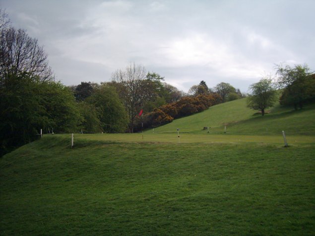
Llanshay Dingle is a picturesque valley located in the county of Radnorshire, Wales. Nestled amidst the rural countryside, this enchanting dingle is renowned for its natural beauty and tranquil atmosphere.

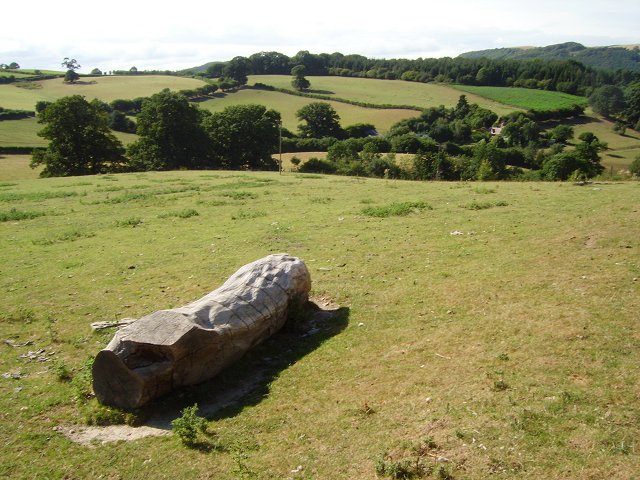
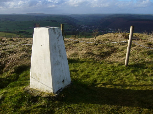
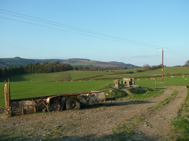
The valley is surrounded by rolling hills and verdant woodlands, creating a stunning backdrop for those seeking a peaceful escape from the hustle and bustle of everyday life. Llanshay Dingle is characterized by its lush greenery, with an abundance of native flora and fauna that adds to its charm. Visitors can expect to encounter various species of birds, small mammals, and wildflowers while exploring the area.

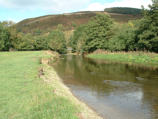
The dingle is traversed by a gentle stream that meanders through the valley, adding to the idyllic scenery. This stream is a popular spot for nature enthusiasts and photographers, who can capture the reflections of the surrounding landscape in its crystal-clear waters.

Llanshay Dingle offers several walking trails that allow visitors to fully immerse themselves in its natural splendor. These paths wind through the valley, offering breathtaking views of the countryside and opportunities to spot the local wildlife. The trails vary in difficulty, catering to both novice hikers and experienced adventurers.

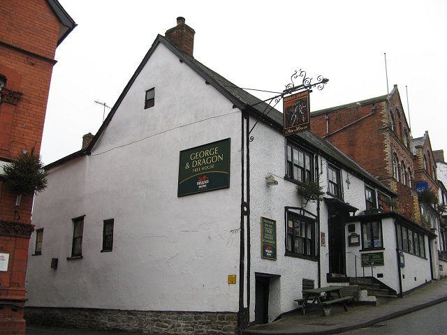
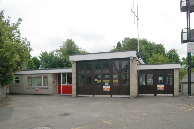
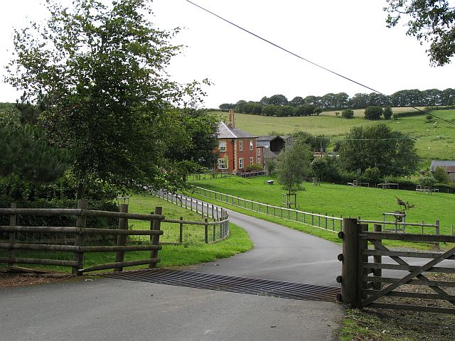
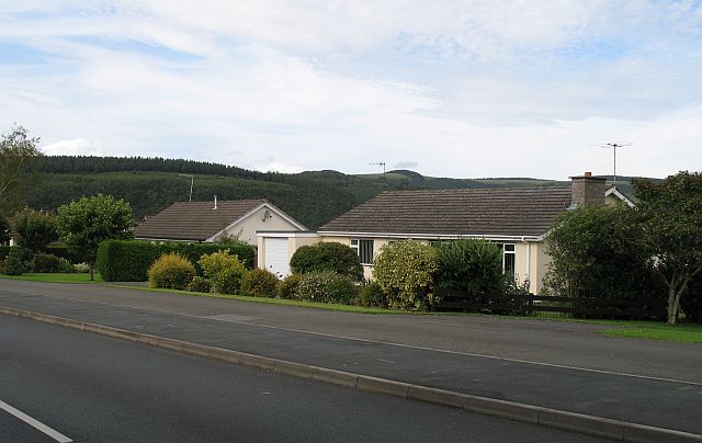
In addition to its natural attractions, Llanshay Dingle is also home to a small community of residents. The village nearby provides a glimpse into traditional rural life in Wales, with charming cottages and a friendly atmosphere. Visitors can enjoy the local hospitality by visiting the village pub or exploring the quaint shops that line the streets.

Overall, Llanshay Dingle in Radnorshire is a hidden gem for nature lovers and those seeking serenity in the heart of Wales. Its stunning landscapes, diverse wildlife, and welcoming community make it a must-visit destination for anyone looking to connect with nature and experience the tranquility of the countryside.

If you have any feedback on the listing, please let us know in the comments section below.

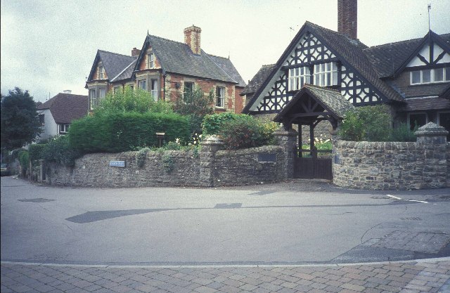
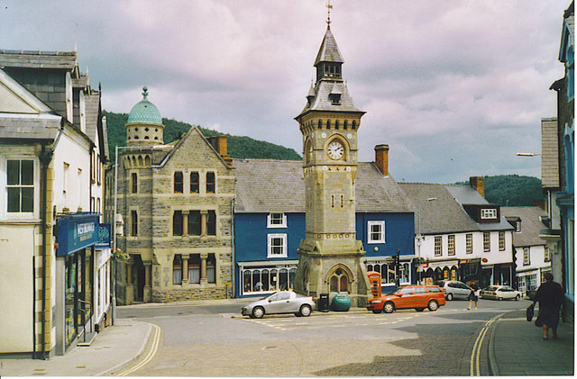
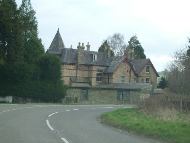
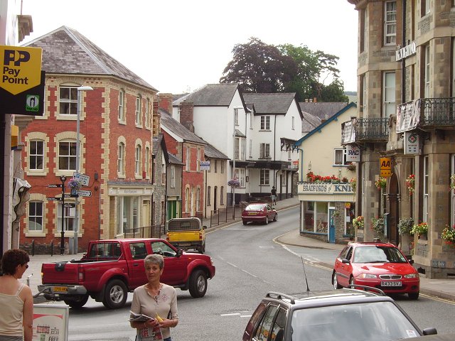
Llanshay Dingle Images

Images are sourced within 2km of 52.338219/-3.0330665 or Grid Reference SO2971. Thanks to Geograph Open Source API. All images are credited.

Houses in Church Street, Knighton
Knighton, Clock Tower. The centre of the small border town. The English-Welsh border is only a few minutes walk away, down the hill behind the clock tower.
Knighton, Clock Tower.
The centre of the small border town. The English-Welsh border is only a few minutes walk away, down the hill behind the clock tower.
Knighton railway station
A house near Knighton known as The Lee
Knighton, (Radnorshire) Of a common place name, this is probably the best known. The town centre.
Knighton, (Radnorshire)
Of a common place name, this is probably the best known. The town centre.
Pitts Field between Middle and Upper Pitts farms.
Pitts
Field between Middle and Upper Pitts farms.
George and Dragon, Knighton
Clock Tower, Knighton, Powys
Llan-wen trig Situated at rear of Spacewatch Project (open Wed to Sun)
Llan-wen trig
Situated at rear of Spacewatch Project (open Wed to Sun)
Golf course near Knighton Hole on Knighton golf course as seen from Offa's Dyke footpath.
Golf course near Knighton
Hole on Knighton golf course as seen from Offa's Dyke footpath.
ROC Fallout Monitor Bunker. Llanshay Lane, Knighton. Llanshay Lane, Knighton. Opened 1962, closed 1991. The Royal Observer Corps, Cold War monitoring force of the United Kingdom Warning and Monitoring Organisation responsible for identifying and locating bomb bursts, and tracking the subsequent (and deadly) radioactive fallout. <span class="nowrap"><a title="http://www.subbrit.org.uk/rsg/roc/index2.shtml" rel="nofollow ugc noopener" href="http://www.subbrit.org.uk/rsg/roc/index2.shtml">Link</a><img style="margin-left:2px;" alt="External link" title="External link - shift click to open in new window" src="https://s1.geograph.org.uk/img/external.png" width="10" height="10"/></span>
ROC Fallout Monitor Bunker. Llanshay Lane, Knighton.
Llanshay Lane, Knighton. Opened 1962, closed 1991. The Royal Observer Corps, Cold War monitoring force of the United Kingdom Warning and Monitoring Organisation responsible for identifying and locating bomb bursts, and tracking the subsequent (and deadly) radioactive fallout. LinkExternal link
Knighton Fire Station Knighton Fire Station, Plough Road, Knighton is part of the Mid & West Wales Fire & Rescue Service
Knighton Fire Station
Knighton Fire Station, Plough Road, Knighton is part of the Mid & West Wales Fire & Rescue Service
Knighton station Back in the days of good old British Rail, a 2-car diesel multiple unit waits with a departure to Shrewsbury.  The long Central Wales line from Llanelli to Shrewsbury is very scenic.
Knighton station
Back in the days of good old British Rail, a 2-car diesel multiple unit waits with a departure to Shrewsbury. The long Central Wales line from Llanelli to Shrewsbury is very scenic.
Jenkin Allis Newly laid out parkland in front of the house.
Jenkin Allis
Newly laid out parkland in front of the house.
Presteigne Road Bungalows on the south side of Knighton.
Presteigne Road
Bungalows on the south side of Knighton.
River Teme & Panpunton Hill at Knighton Walkers heading north on the Offa's Dyke Path just outside Knighton can get a preview of their next climb from this spot beside the River Teme.  For those coming the other way, you're just minutes away from the facilities of Knighton and the Offa's Dyke Centre!
River Teme & Panpunton Hill at Knighton
Walkers heading north on the Offa's Dyke Path just outside Knighton can get a preview of their next climb from this spot beside the River Teme. For those coming the other way, you're just minutes away from the facilities of Knighton and the Offa's Dyke Centre!
Knighton Branch Library
Single-Track Line To Knighton
Show me another place!

Llanshay Dingle is located at Grid Ref: SO2971 (Lat: 52.338219, Lng: -3.0330665)

Unitary Authority: Powys

Police Authority: Dyfed Powys

What 3 Words

///voltages.tacky.riding. Near Knighton, Powys

Related Wikis

Knighton railway station

Knighton railway station serves the border market town of Knighton in Powys, Wales, although the station itself is located in Shropshire, England (the...

Knighton Hospital

Knighton Hospital (Welsh: Ysbyty Trefyclo) is a health facility in Ffrydd Road, Knighton, Powys, Wales. It is managed by the Powys Teaching Health Board...
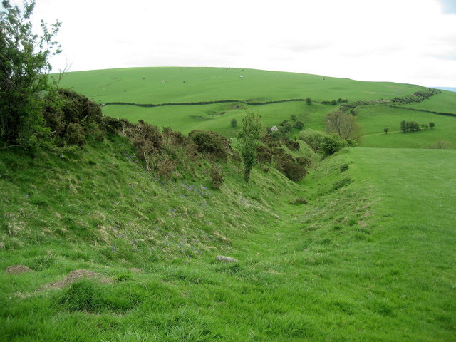
Offa's Dyke

Offa's Dyke (Welsh: Clawdd Offa) is a large linear earthwork that roughly follows the border between England and Wales. The structure is named after Offa...
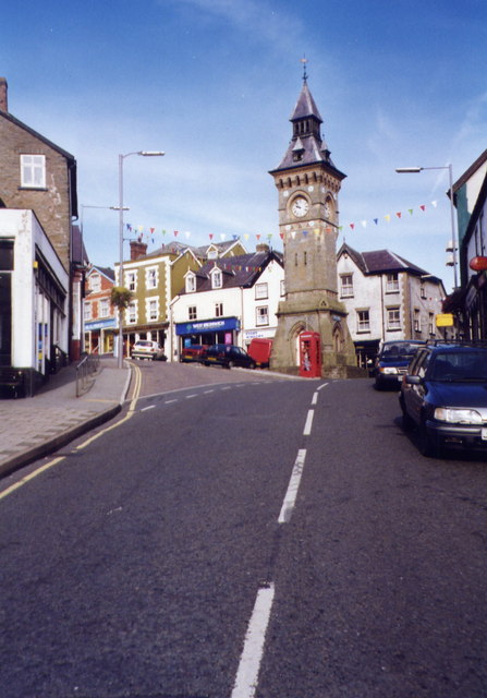
Knighton, Powys

Knighton (Welsh: Tref-y-clawdd [trɛvəˈklauð] or Trefyclo) is a market town and community on the River Teme, straddling the border between Powys, Wales...

Nearby Amenities

Located within 500m of 52.338219,-3.0330665
Man Made: manhole
Manhole: water
Pipeline: inspection chamber
Lat/Long: 52.3426319/-3.0326692
Bicycle: yes
Designation: public_bridleway
Lat/Long: 52.3388353/-3.0374237
Bicycle: yes
Designation: public_bridleway
Lat/Long: 52.3369027/-3.0358207
Bicycle: yes
Designation: public_bridleway
Lat/Long: 52.3370425/-3.0359693
Bicycle: yes
Designation: public_bridleway
Lat/Long: 52.3391413/-3.0377064
Crossing
Bicycle: yes
Designation: public_bridleway
Lat/Long: 52.3393475/-3.0378784
Bicycle: yes
Designation: public_bridleway
Lat/Long: 52.3393363/-3.0378458
Bicycle: yes
Designation: public_bridleway
Lat/Long: 52.3380071/-3.0367518
Direction: 165
Generator Method: photovoltaic
Generator Output Electricity: yes
Generator Solar Modules: 8
Generator Source: solar
Generator Type: solar_photovoltaic_panel
Location: roof
Power: generator
Lat/Long: 52.3402318/-3.0394658
Direction: 75
Generator Method: photovoltaic
Generator Output Electricity: yes
Generator Solar Modules: 6
Generator Source: solar
Generator Type: solar_photovoltaic_panel
Location: roof
Power: generator
Lat/Long: 52.3402007/-3.0395088
Direction: 105
Generator Method: photovoltaic
Generator Output Electricity: yes
Generator Solar Modules: 16
Generator Source: solar
Generator Type: solar_photovoltaic_panel
Location: roof
Power: generator
Lat/Long: 52.3368002/-3.039384
Bicycle: yes
Designation: public_bridleway
Lat/Long: 52.3400588/-3.0324618
Bicycle: yes
Designation: public_bridleway
Lat/Long: 52.3401636/-3.0330626
Bicycle: yes
Designation: public_bridleway
Lat/Long: 52.3407405/-3.0272046
Bicycle: yes
Designation: public_bridleway
Lat/Long: 52.3401636/-3.0341355
Bicycle: yes
Designation: public_bridleway
Lat/Long: 52.3401112/-3.0347148
Bicycle: yes
Designation: public_bridleway
Lat/Long: 52.3400264/-3.0352072
Bicycle: yes
Designation: public_bridleway
Lat/Long: 52.3408716/-3.0285565
Bicycle: yes
Designation: public_bridleway
Lat/Long: 52.3408716/-3.0279557
Bicycle: yes
Designation: public_bridleway
Lat/Long: 52.3403328/-3.0310091
Bicycle: yes
Designation: public_bridleway
Lat/Long: 52.3392927/-3.0378146
The data included in this document is from www.openstreetmap.org. The data is made available under ODbL.

Have you been to Llanshay Dingle?

Leave your review of Llanshay Dingle below (or comments, questions and feedback).