Bâch Dingle

Valley in Radnorshire

Wales

Bâch Dingle

Llan-wen trig Situated at rear of Spacewatch Project (open Wed to Sun)
Llan-wen trig Credit: Iain Macaulay

Bâch Dingle is a picturesque valley located in the county of Radnorshire, Wales. Nestled amidst the rolling hills and lush greenery, this idyllic landscape provides a serene retreat for nature lovers and those seeking tranquility.

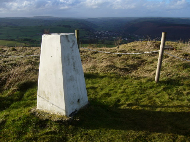
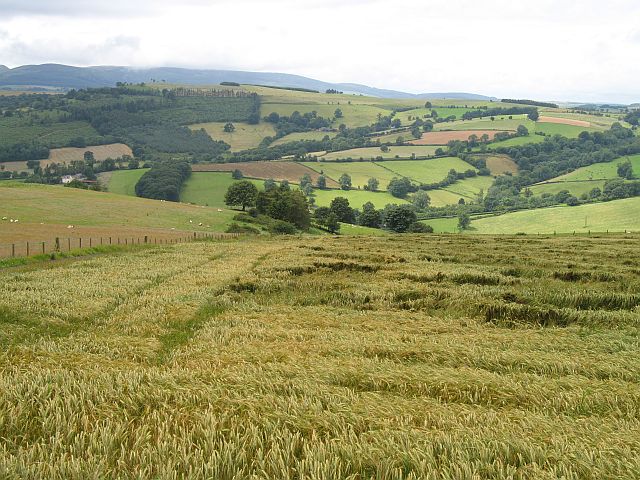
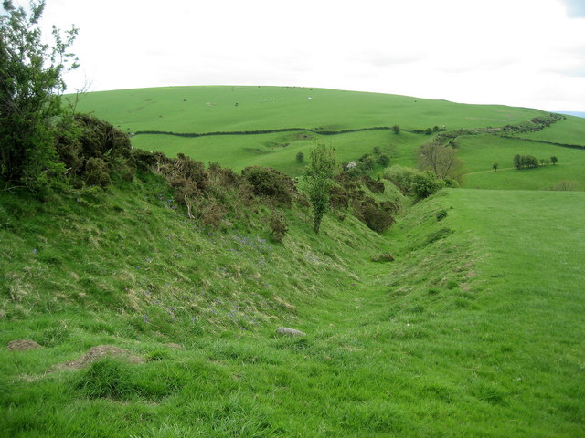
The valley is characterized by its steep slopes, which are covered in dense woodlands, creating a rich and diverse habitat for a variety of flora and fauna. Ancient oak and beech trees dominate the landscape, their branches creating a natural canopy overhead. The valley floor is dotted with a meandering river, its crystal-clear waters babbling through the rocks, adding to the beauty of the surroundings.

Bâch Dingle is a haven for wildlife enthusiasts, offering a chance to spot native species such as red kites, buzzards, and kingfishers. The diverse vegetation supports a wide range of plants, including bluebells, primroses, and wild garlic, which create a colorful carpet during the springtime.

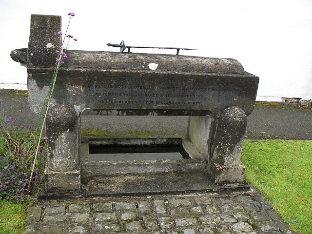
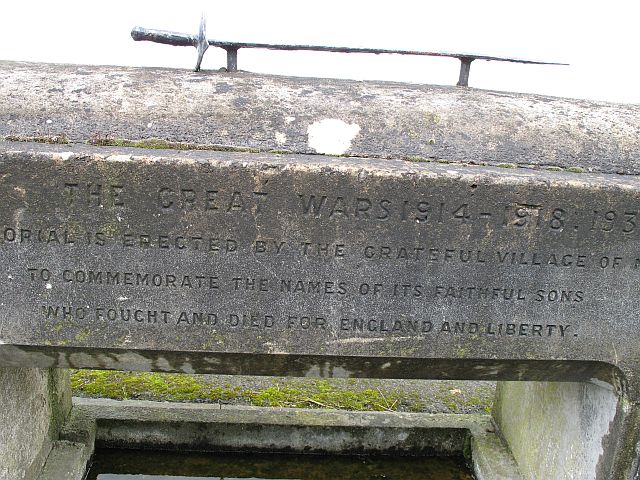
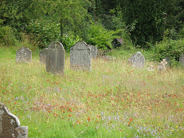
The valley also holds historical significance, with remnants of past civilizations scattered throughout. Ruins of old farmsteads and stone walls are a testament to the area's agricultural heritage. Ancient burial mounds and standing stones hint at the valley's prehistoric past, sparking curiosity and intrigue among archaeology enthusiasts.

Visitors to Bâch Dingle can enjoy various outdoor activities, including hiking along the numerous trails that crisscross the valley, offering breathtaking views at every turn. The peaceful atmosphere makes it an ideal spot for picnics, birdwatching, or simply unwinding in nature's embrace.

In conclusion, Bâch Dingle, Radnorshire, is a captivating valley that captivates visitors with its natural beauty, abundant wildlife, and rich history. It's an enchanting destination for anyone seeking solace in the embrace of nature.

If you have any feedback on the listing, please let us know in the comments section below.
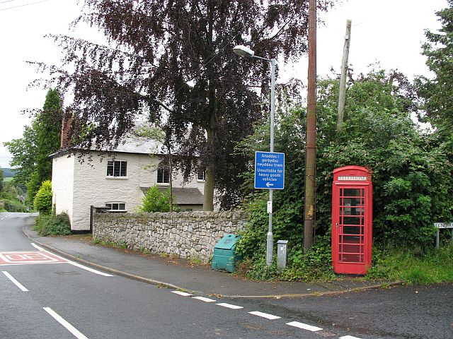
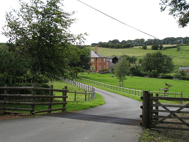
Bâch Dingle Images

Images are sourced within 2km of 52.312085/-3.03391 or Grid Reference SO2968. Thanks to Geograph Open Source API. All images are credited.

Llan-wen trig Situated at rear of Spacewatch Project (open Wed to Sun)
Llan-wen trig
Situated at rear of Spacewatch Project (open Wed to Sun)
Stonewall Hill Barley growing on the Welsh side of the road.
Stonewall Hill
Barley growing on the Welsh side of the road.
War memorial, Norton Very unusual war memorial, a trough with an interesting inscription, and not just its reference to England.
"This memorial is erected by the grateful village of Norton to commemorate the names of its faithful sons who fought and died for England and Liberty"

Norton has chosen to remember those who returned as well.
War memorial, Norton
Very unusual war memorial, a trough with an interesting inscription, and not just its reference to England. "This memorial is erected by the grateful village of Norton to commemorate the names of its faithful sons who fought and died for England and Liberty" Norton has chosen to remember those who returned as well.
War memorial, Norton Close up of the inscription. Note the way the 1939-45 war has been added.
War memorial, Norton
Close up of the inscription. Note the way the 1939-45 war has been added.
Norton Phone box, just opposite the church.
Norton
Phone box, just opposite the church.
Churchyard, Norton Wildflowers amongst the gravestones.
Churchyard, Norton
Wildflowers amongst the gravestones.
St Andrews, Norton Quite a substantial church. Was Norton once a rival to nearby Presteigne?
St Andrews, Norton
Quite a substantial church. Was Norton once a rival to nearby Presteigne?
St Andrews, Norton The font under the bell tower.
St Andrews, Norton
The font under the bell tower.
Jenkin Allis Newly laid out parkland in front of the house.
Jenkin Allis
Newly laid out parkland in front of the house.
St Andrew's Norton
St Andrew's Norton
Junction on Meeting House Lane
Meeting House Farm, Meeting House Lane Beyond the farm, Meeting House Lane becomes an un-made track before eventually running into Farrington Lane.
Meeting House Farm, Meeting House Lane
Beyond the farm, Meeting House Lane becomes an un-made track before eventually running into Farrington Lane.
Access to Bowdler Farm
Field at Bowdler Farm
Victorian post box This Victorian postbox is located within a wall opposite St Andrews Church, Norton, Powys.
Victorian post box
This Victorian postbox is located within a wall opposite St Andrews Church, Norton, Powys.
Spaceguard Centre, Knighton The Spaceguard Centre on the hills (Reeves Hill leading to Stonewall Hill) above Knighton, Powys - observatory watching the skies for unwanted arrivals!
<span class="nowrap"><a title="http://www.spaceguarduk.com/" rel="nofollow ugc noopener" href="http://www.spaceguarduk.com/">Link</a><img style="margin-left:2px;" alt="External link" title="External link - shift click to open in new window" src="https://s1.geograph.org.uk/img/external.png" width="10" height="10"/></span>
Spaceguard Centre, Knighton
The Spaceguard Centre on the hills (Reeves Hill leading to Stonewall Hill) above Knighton, Powys - observatory watching the skies for unwanted arrivals! LinkExternal link
Stonewall Hill Looking across stubble from Stonewall Hill, ultimately to the Brecon Beacons in the far distance.
Stonewall Hill
Looking across stubble from Stonewall Hill, ultimately to the Brecon Beacons in the far distance.
Long walk into Taylor's Wood
Show me another place!

Bâch Dingle is located at Grid Ref: SO2968 (Lat: 52.312085, Lng: -3.03391)

Unitary Authority: Powys

Police Authority: Dyfed Powys

What 3 Words

///served.over.quaking. Near Whitton, Powys

Related Wikis

Nearby Amenities

Located within 500m of 52.312085,-3.03391
Place: farm
Lat/Long: 52.3133765/-3.0326222
Direction: 145
Generator Method: photovoltaic
Generator Output Electricity: yes
Generator Solar Modules: 16
Generator Source: solar
Generator Type: solar_photovoltaic_panel
Location: roof
Power: generator
Lat/Long: 52.3102505/-3.0274147
The data included in this document is from www.openstreetmap.org. The data is made available under ODbL.

Have you been to Bâch Dingle?

Leave your review of Bâch Dingle below (or comments, questions and feedback).