Latchmore Bank

Settlement in Essex Uttlesford

England

Latchmore Bank

Lee and Stort Navigation: Lock no 3 - Spellbrook Lock A lock situated in what appears to be a remote stretch of the route, though a look at the map reveals that the hamlet of Spellbrook is just the other side of the railway line to the west while the landmark of Wallbury (an iron-age behemoth) is alongside to the east, though it is not seen from the canal.
Lee and Stort Navigation: Lock no 3 - Spellbrook Lock Credit: Peter S

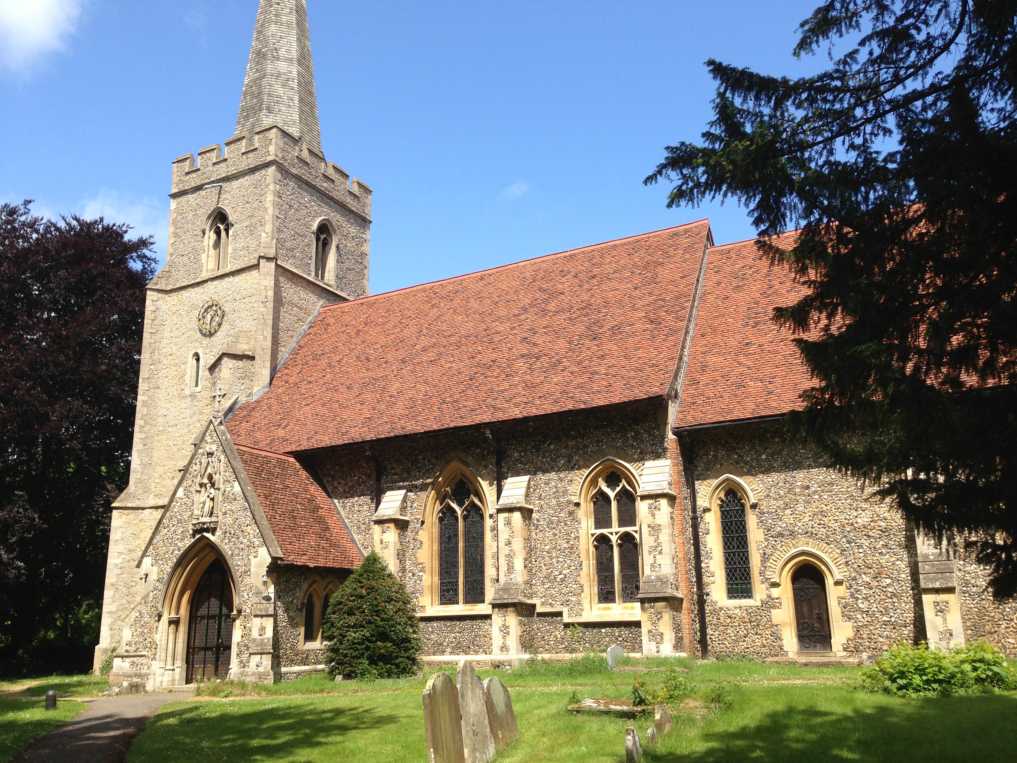
Latchmore Bank is a small village located in the county of Essex, in the southeast of England. Situated in the district of Uttlesford, the village is part of the civil parish of Stansted Mountfitchet. Latchmore Bank is located approximately 2 miles northeast of the town of Stansted Mountfitchet and around 6 miles northwest of the city of Bishop's Stortford.

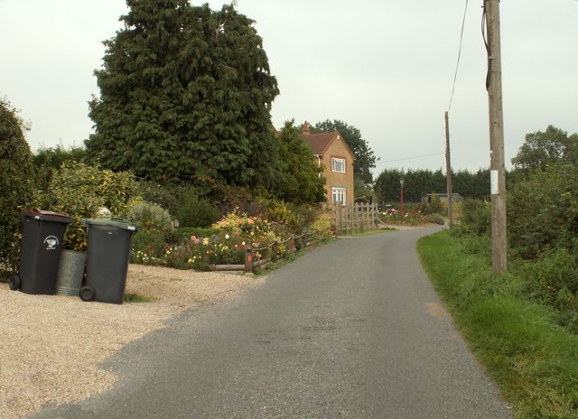
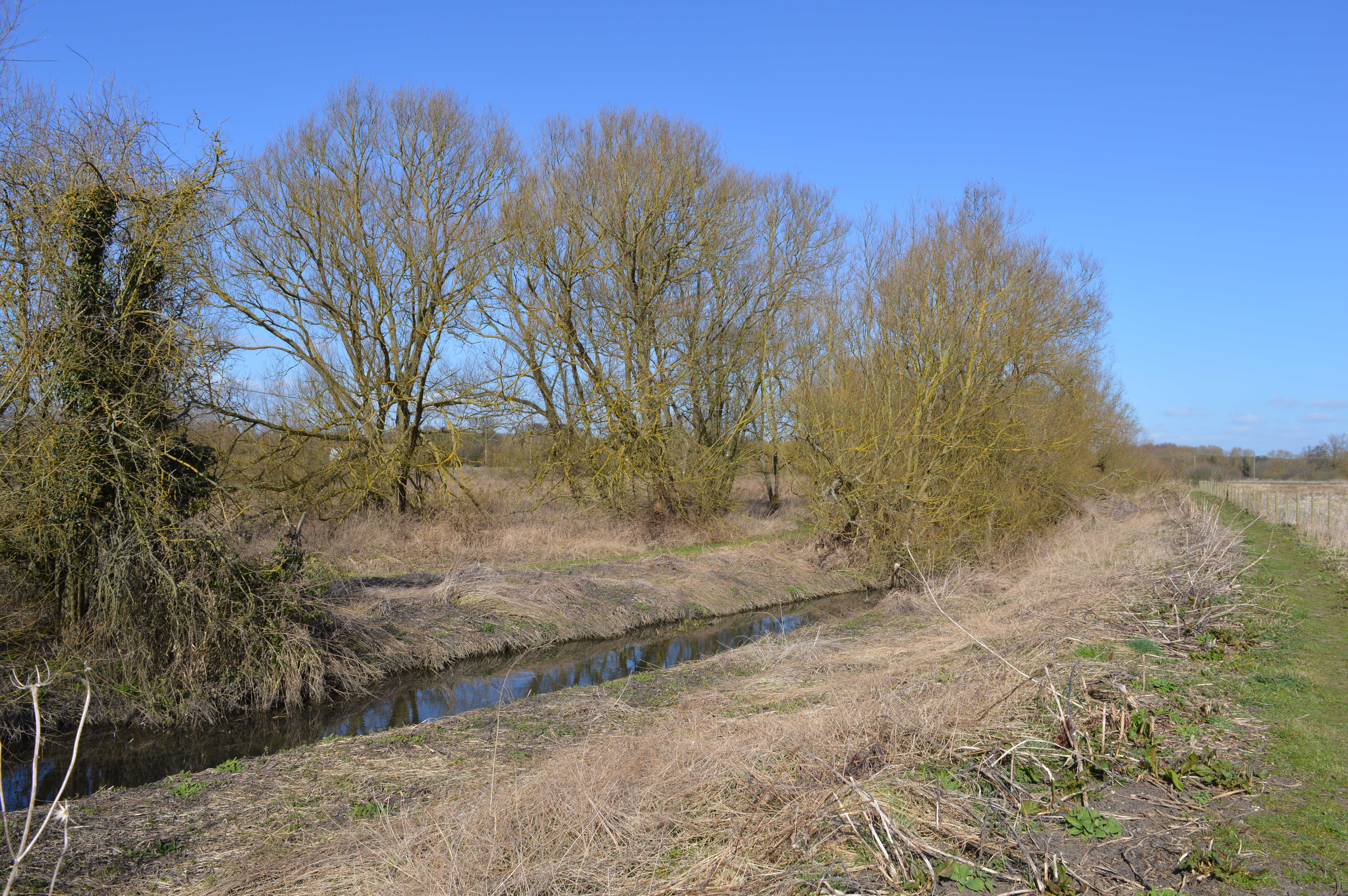
The village is primarily residential, with a small population of around 300 people. It is characterized by its picturesque countryside setting, surrounded by fields and woodlands. Latchmore Bank offers a quiet and peaceful environment, making it an attractive place for those seeking a rural lifestyle.

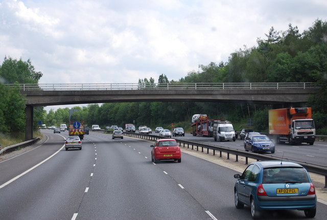
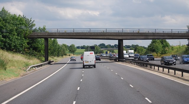
Despite its small size, the village benefits from being in close proximity to several amenities and facilities. Nearby towns provide residents with access to schools, healthcare services, shopping centers, and other essential amenities. The village is also well-connected to major road networks, with the M11 motorway located just a short drive away, providing easy access to London and Cambridge.

For outdoor enthusiasts, Latchmore Bank offers ample opportunities for walking, cycling, and exploring the surrounding countryside. The village is also within easy reach of popular tourist attractions, such as Hatfield Forest and Mountfitchet Castle, which attract visitors from both near and far.

Overall, Latchmore Bank is a charming village in Essex, offering a tranquil and idyllic setting for its residents, while also providing convenient access to nearby amenities and attractions.

If you have any feedback on the listing, please let us know in the comments section below.

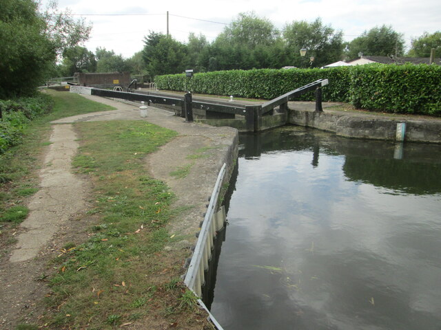
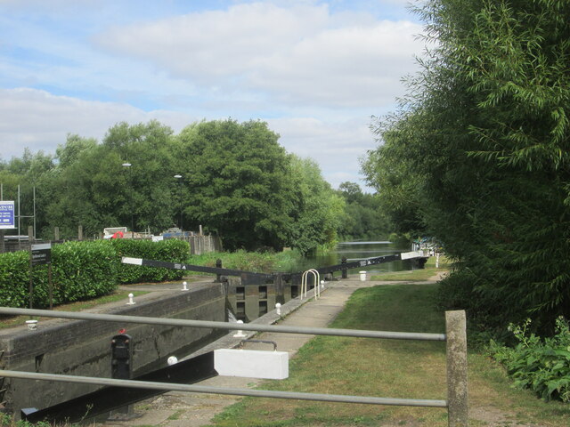
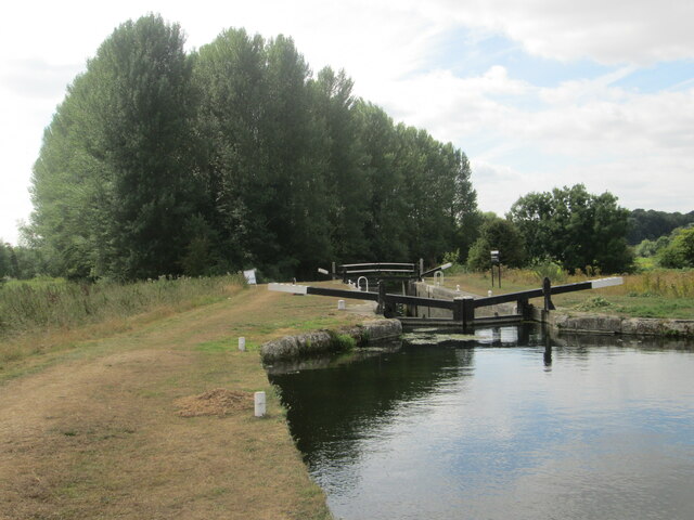
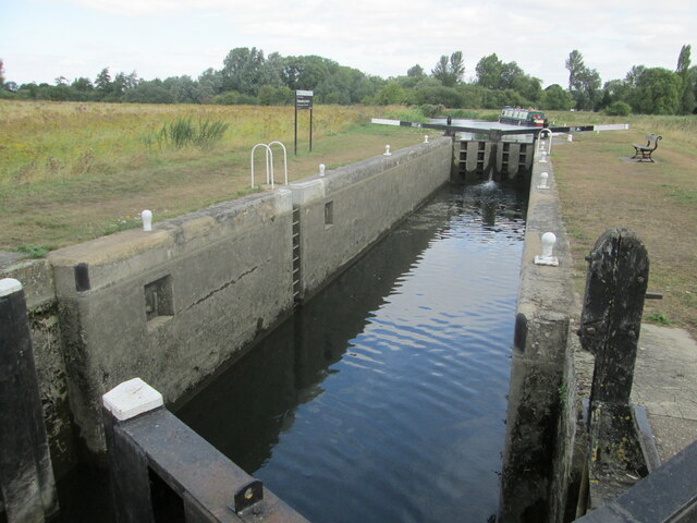
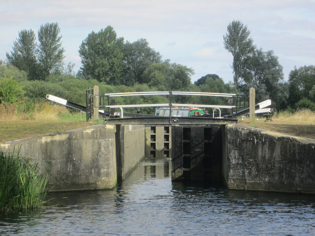
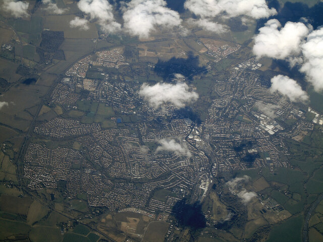
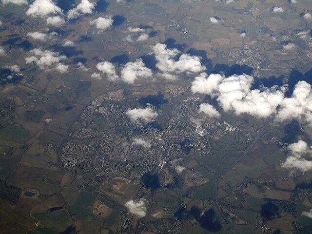
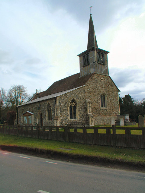
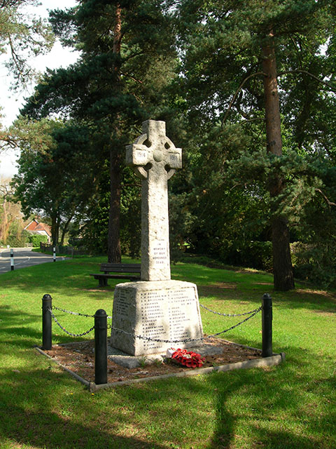
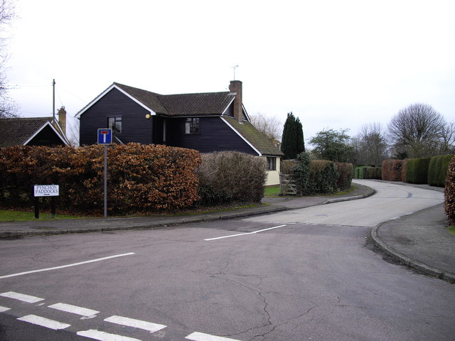
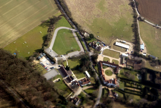
Latchmore Bank Images

Images are sourced within 2km of 51.84073/0.16139821 or Grid Reference TL4918. Thanks to Geograph Open Source API. All images are credited.

Lee and Stort Navigation: Lock no 3 - Spellbrook Lock A lock situated in what appears to be a remote stretch of the route, though a look at the map reveals that the hamlet of Spellbrook is just the other side of the railway line to the west while the landmark of Wallbury (an iron-age behemoth) is alongside to the east, though it is not seen from the canal.
Lee and Stort Navigation: Lock no 3 - Spellbrook Lock
A lock situated in what appears to be a remote stretch of the route, though a look at the map reveals that the hamlet of Spellbrook is just the other side of the railway line to the west while the landmark of Wallbury (an iron-age behemoth) is alongside to the east, though it is not seen from the canal.
Lee and Stort Navigation: Lock no 3 - Spellbrook Lock - view north
Approaching Tednambury Lock
Lee and Stort Navigation: Lock no 4 Tednambury Lock After a significant bend in the canal, and the path accordingly, to the left and a dividing of the waterways, the route continues to the right due south to reveal this lock. The lock apparently takes its name from nearby Tednambury Farm.
Lee and Stort Navigation: Lock no 4 Tednambury Lock
After a significant bend in the canal, and the path accordingly, to the left and a dividing of the waterways, the route continues to the right due south to reveal this lock. The lock apparently takes its name from nearby Tednambury Farm.
Lee and Stort Navigation: Lock no 4 Tednambury Lock - from the south
Bishop's Stortford from the air Most of the town can be seen in this view from a Birmingham bound flight from Prague.
Bishop's Stortford from the air
Most of the town can be seen in this view from a Birmingham bound flight from Prague.
Bishop's Stortford from the air Looking over Thorley Street to the town from a Birmingham bound flight from Prague.
Bishop's Stortford from the air
Looking over Thorley Street to the town from a Birmingham bound flight from Prague.
St. Mary's Church, Little Hallingbury
New Barn Lane, Little Hallingbury, Essex This is by Normandale Kennels.
New Barn Lane, Little Hallingbury, Essex
This is by Normandale Kennels.
War Memorial The memorial in the grounds of St Mary's Church, Little Hallingbury commemorates the fallen of World War I.
War Memorial
The memorial in the grounds of St Mary's Church, Little Hallingbury commemorates the fallen of World War I.
Pynchon Paddocks Little Hillingbury Taken at junction with Wrights Green Lane
Pynchon Paddocks Little Hillingbury
Taken at junction with Wrights Green Lane
Sign 'Wrights Green' The 'Green' is out of picture to the left.
Sign 'Wrights Green'
The 'Green' is out of picture to the left.
Wright's Green
Wright's Green
Howe Green House from the air A private school near Great Hallingbury.

Click on this <span class="nowrap"><a title="http://www.howegreenhouse.essex.sch.uk/" rel="nofollow ugc noopener" href="http://www.howegreenhouse.essex.sch.uk/">Link</a><img style="margin-left:2px;" alt="External link" title="External link - shift click to open in new window" src="https://s1.geograph.org.uk/img/external.png" width="10" height="10"/></span> to go to their website.
Howe Green House from the air
A private school near Great Hallingbury. Click on this LinkExternal link to go to their website.
Church Rd bridge over the M11
New Barn Lane Bridge
Small reservoir from the air Just north of Monksbury Farm
Small reservoir from the air
Just north of Monksbury Farm
Howe Green House School from the air On the outskirts of Bishop's Stortford <span class="nowrap"><a title="http://www.howegreenhouse.essex.sch.uk/" rel="nofollow ugc noopener" href="http://www.howegreenhouse.essex.sch.uk/">Link</a><img style="margin-left:2px;" alt="External link" title="External link - shift click to open in new window" src="https://s1.geograph.org.uk/img/external.png" width="10" height="10"/></span> .
Howe Green House School from the air
On the outskirts of Bishop's Stortford LinkExternal link .
Show me another place!

Latchmore Bank is located at Grid Ref: TL4918 (Lat: 51.84073, Lng: 0.16139821)

Administrative County: Essex

District: Uttlesford

Police Authority: Essex

What 3 Words

///data.flown.booth. Near Little Hallingbury, Essex

Nearby Locations

Latchmore Bank

Related Wikis

Thorley Wash nature reserve

Thorley Wash or Thorley Flood Pound is a 17.3-hectare biological Site of Special Scientific Interest in Thorley, south of Bishop's Stortford in Hertfordshire...

Spelbrook railway station

Spelbrook railway station, also known as Spellbrook railway station, Spelbroke railway station and Spillbrook railway station served the hamlet of Spellbrook...

Spellbrook

Spellbrook is a hamlet in Hertfordshire, situated between Bishop's Stortford and Sawbridgeworth. == Location == Spellbrook is one mile south of Bishop...

Little Hallingbury Marsh

Little Hallingbury Marsh is a 4.5-hectare (11-acre) biological Site of Special Scientific Interest adjacent to the River Stort, west of Little Hallingbury...

Thorley, Hertfordshire

Thorley is a village and civil parish in Bishops Stortford, East Hertfordshire district of Hertfordshire, England. The parish includes the hamlets of Thorley...

Little Hallingbury

Little Hallingbury is a small village and a civil parish in the Uttlesford district of Essex, England. == Geography == Little Hallingbury parish is on...

Great Hallingbury

Great Hallingbury is a village and a civil parish in the Uttlesford District of Essex, England. The population of the civil parish at the 2011 census was...

Rushy Mead

Rushy Mead is a 4.6-hectare (11-acre) nature reserve on the bank of the River Stort in Essex, between Sawbridgeworth and Bishop's Stortford. Until the...

Nearby Amenities

Located within 500m of 51.84073,0.16139821
Barrier: stile
Material: wood
Step Count: 1
Stile: stepover
Lat/Long: 51.8430336/0.1594255
Bus Stop
Spellbrook Lane
Bus: yes
Naptan AtcoCode: 210021304670
Naptan Bearing: N
Naptan CommonName: Spellbrook Lane
Naptan Indicator: N-bound
Naptan Landmark: Unknown
Naptan NaptanCode: hrtdtgjg
Naptan PlusbusZoneRef: BSHPSFD
Naptan ShortCommonName: NA
Naptan Street: A1184
Naptan Verified: no
Public Transport: platform
Source: naptan_import
Lat/Long: 51.8391887/0.1569025
Bus Stop
Thorley Wash Grange
Bus: yes
Local Ref: NR
Naptan AtcoCode: 210021304675
Naptan Bearing: N
Naptan CommonName: Thorley Wash Grange
Naptan Crossing: Thorley Wash Grange
Naptan Indicator: nr
Naptan Landmark: Thorley Wash Grange
Naptan NaptanCode: hrtdtgjm
Naptan PlusbusZoneRef: BSHPSFD
Naptan ShortCommonName: NA
Naptan Street: A1184
Naptan Verified: no
Public Transport: platform
Source: naptan_import
Lat/Long: 51.8423139/0.1573552
Bus Stop
Thorley Wash Grange
Bus: yes
Naptan AtcoCode: 210021307800
Naptan Bearing: S
Naptan CommonName: Thorley Wash Grange
Naptan Crossing: Little Chef
Naptan Indicator: opp
Naptan Landmark: Little Chef
Naptan NaptanCode: hrtdpwdg
Naptan PlusbusZoneRef: BSHPSFD
Naptan ShortCommonName: NA
Naptan Street: A1184
Naptan Verified: no
Public Transport: platform
Source: naptan_import
Lat/Long: 51.8409936/0.1575458
Bus Stop
Spellbrook Lane
Bus: yes
Naptan AtcoCode: 210021308000
Naptan Bearing: S
Naptan CommonName: Spellbrook Lane
Naptan Indicator: S-bound
Naptan Landmark: Unknown
Naptan NaptanCode: hrtdptpj
Naptan PlusbusZoneRef: BSHPSFD
Naptan ShortCommonName: NA
Naptan Street: A1184
Naptan Verified: no
Public Transport: platform
Source: naptan_import
Lat/Long: 51.8374086/0.1565062
Spellbrook Level Crossing
Crossing Barrier: double_half
Railway: level_crossing
Lat/Long: 51.8368141/0.1595332
Crossing Barrier: no
Railway: crossing
Lat/Long: 51.843045/0.1593478
Spellbrook Level Crossing
Crossing Barrier: double_half
Railway: level_crossing
Lat/Long: 51.8368095/0.1594862
Crossing Barrier: no
Railway: crossing
Lat/Long: 51.8430514/0.1593041
Barrier: stile
Material: wood
Step Count: 1
Stile: stepover
Lat/Long: 51.8430695/0.1591808
Spellbrook Lock 3
Seamark Type: gate
Waterway: lock_gate
Lat/Long: 51.8368554/0.1615741
Information: guidepost
Note: 2013-05-07 waymark points directly across field to waymark on field edge
Tourism: information
Lat/Long: 51.8418268/0.1632975
Barrier: stile
Material: wood
Step Count: 2
Stile: stepover
Lat/Long: 51.8417831/0.1559282
Waterway: weir
Lat/Long: 51.8383191/0.1614813
Seamark Type: gate
Waterway: lock_gate
Lat/Long: 51.8371554/0.1615873
Direction: both
Traffic Calming: bump
Lat/Long: 51.843777/0.1573729
Crossing
Lat/Long: 51.8396387/0.1571753
Crossing
Lat/Long: 51.8400928/0.1572915
Crossing
Lat/Long: 51.8401746/0.1573102
Crossing
Lat/Long: 51.8401934/0.1573144
Crossing
Lat/Long: 51.841851/0.1574469
Crossing
Lat/Long: 51.8424824/0.1575252
Car Wash
Spellbrook Hand Car Wash & Valeting Centre
Lat/Long: 51.8371669/0.1588966
Car Wash
Shine Hand Car Wash
Lat/Long: 51.8421101/0.1583222
Crossing
Crossing: unmarked
Crossing Island: no
Crossing Markings: no
Tactile Paving: no
Lat/Long: 51.842352/0.1574243
Crossing
Lat/Long: 51.8377407/0.1566484
Hilton Suzuki
Brand: Suzuki
Brand Wikidata: Q181642
Brand Wikipedia: en:Suzuki
Shop: car
Lat/Long: 51.8397683/0.157572
Rapid Platforms
Craft: scaffolder
Lat/Long: 51.8399206/0.157609
The data included in this document is from www.openstreetmap.org. The data is made available under ODbL.

Have you been to Latchmore Bank?

Leave your review of Latchmore Bank below (or comments, questions and feedback).