Corrie of Harran

Valley in Angus

Scotland

Corrie of Harran

Grazing sheep In the fields in front of Milldewan Plantation.
Grazing sheep Credit: James Allan

The requested URL returned error: 429 Too Many Requests

If you have any feedback on the listing, please let us know in the comments section below.

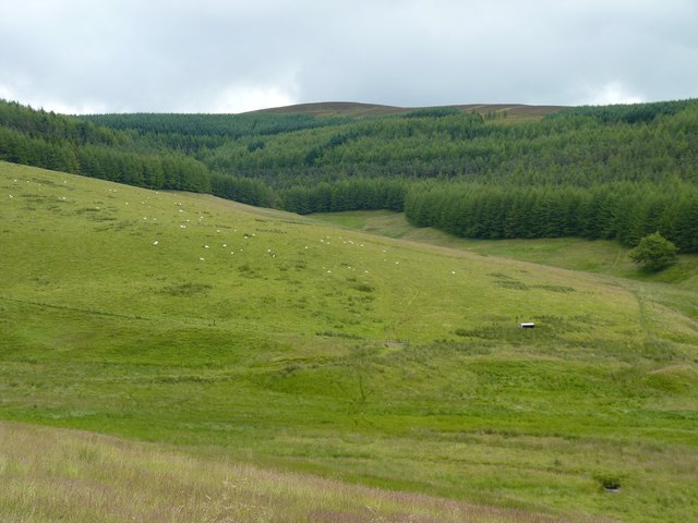
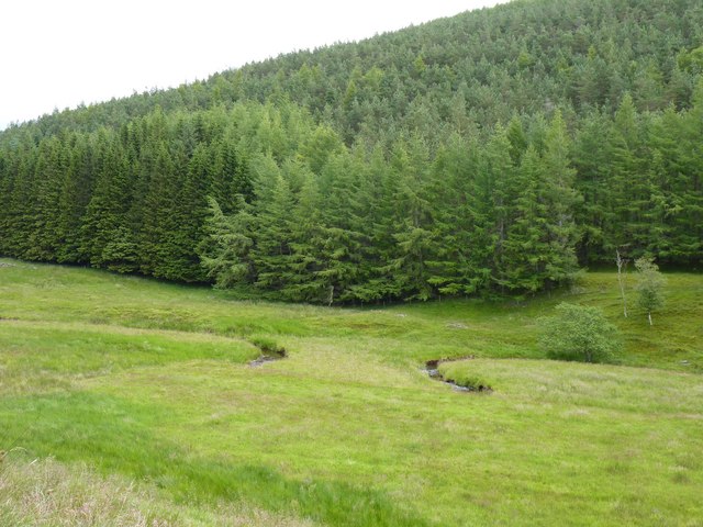
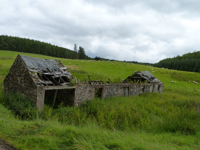
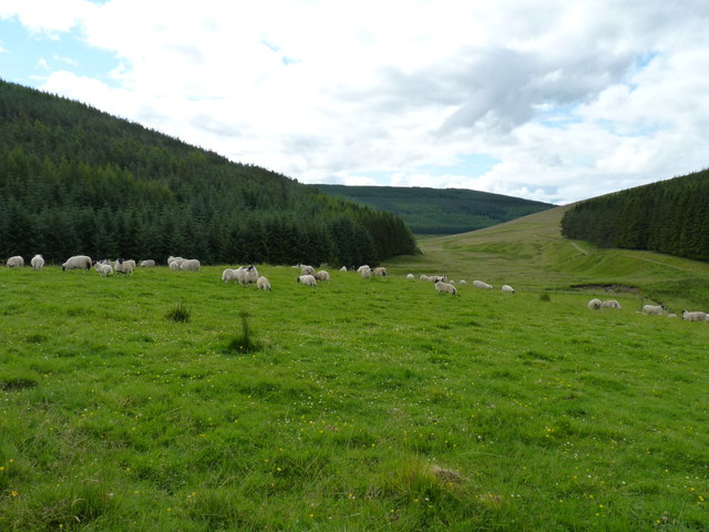
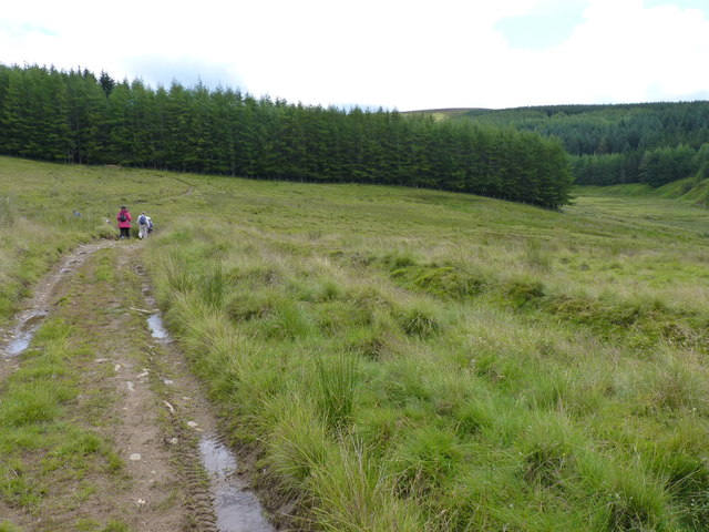
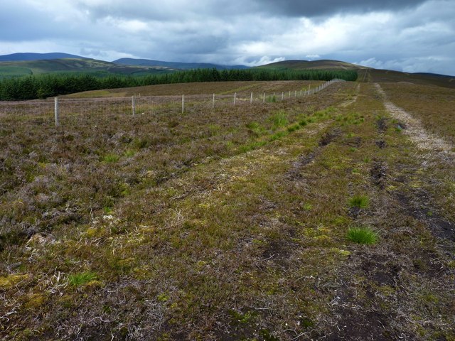
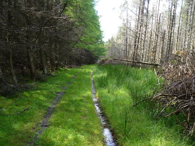
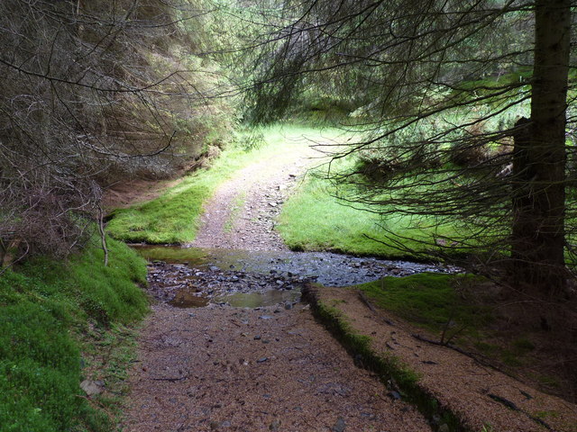
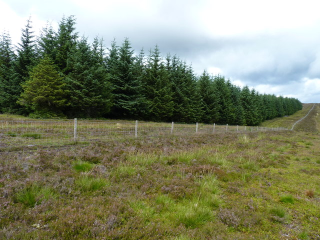
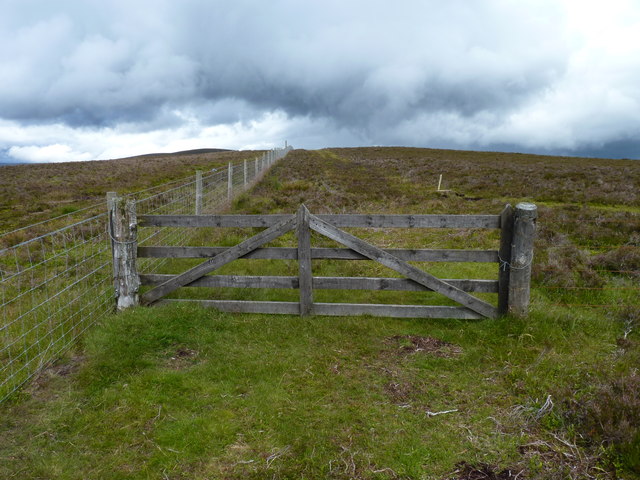
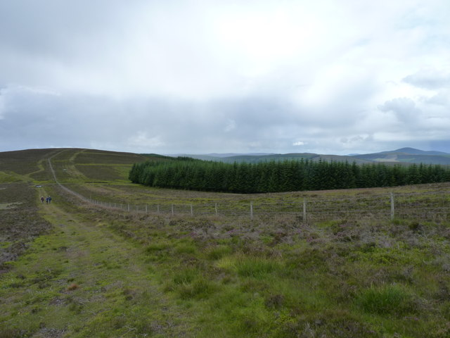
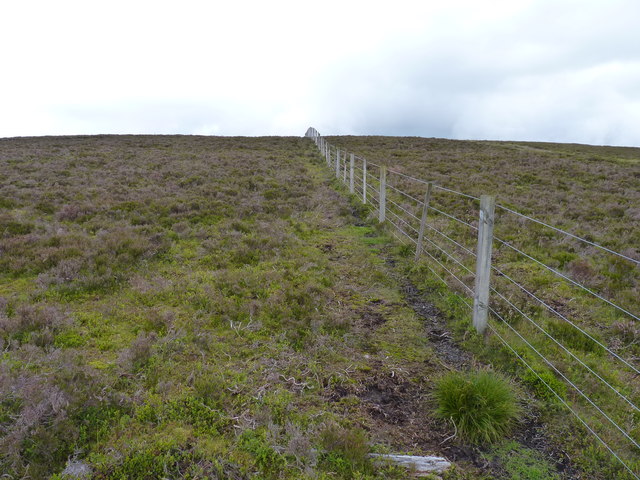
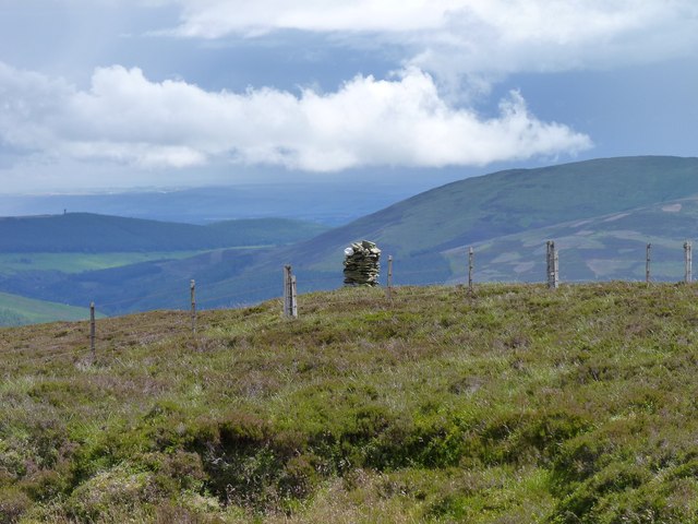
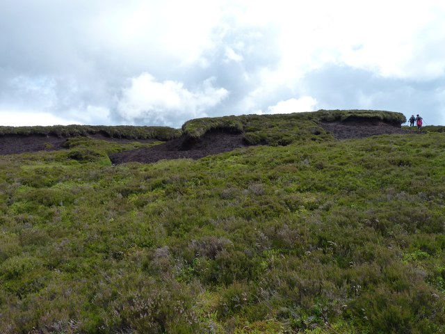
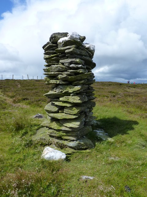
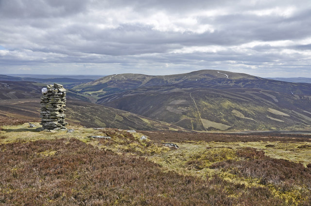
Corrie of Harran Images

Images are sourced within 2km of 56.761819/-3.183973 or Grid Reference NO2763. Thanks to Geograph Open Source API. All images are credited.

Grazing sheep In the fields in front of Milldewan Plantation.
Grazing sheep
In the fields in front of Milldewan Plantation.
Loop on the burn A sinuous stretch of the Hole Burn with the trees of Harran Plantation behind.
Loop on the burn
A sinuous stretch of the Hole Burn with the trees of Harran Plantation behind.
In need of some TLC Abandoned farm buildings in a spot named Hole.
In need of some TLC
Abandoned farm buildings in a spot named Hole.
Flock among the forests Sheep grazing on some remaining unforested ground.
Flock among the forests
Sheep grazing on some remaining unforested ground.
Fence gate with tall post On Milldewan Hill. The tall post may have been kindly provided to help walkers steady themselves while climbing over the gate.
Fence gate with tall post
On Milldewan Hill. The tall post may have been kindly provided to help walkers steady themselves while climbing over the gate.
Approaching Drumshade A small group of walkers making their way along the track towards Drumshade Plantation.
Approaching Drumshade
A small group of walkers making their way along the track towards Drumshade Plantation.
Looking towards Corwharn Hill The view along the ridge of Milldewan Hill.
Looking towards Corwharn Hill
The view along the ridge of Milldewan Hill.
Woodland track Through Drumshade Plantation.
Woodland track
Through Drumshade Plantation.
Meikle Artochny Where the track through Drumshade Plantation fords the burn.
Meikle Artochny
Where the track through Drumshade Plantation fords the burn.
Milldewan Plantation South-eastern flank of the forestry.
Milldewan Plantation
South-eastern flank of the forestry.
Gate in the fence On the ridge of Milldewan Hill.
Gate in the fence
On the ridge of Milldewan Hill.
Hill ridge track Alongside the plantation on Milldewan Hill.
Hill ridge track
Alongside the plantation on Milldewan Hill.
Fence line On Cairn Corse.
Fence line
On Cairn Corse.
Corwharn cairn A neatly built cairn on a stoney ridge just a few metres from the 611 metre (2005 feet) high summit of Corwharn. About two metres tall, it is generally known as a 'stone man'. What looks at first like another 'stone man' on the background hill left of centre is actually a much larger edifice, the Airlie Tower monument <a href="https://www.geograph.org.uk/gridref/NO3761">NO3761</a>.
Corwharn cairn
A neatly built cairn on a stoney ridge just a few metres from the 611 metre (2005 feet) high summit of Corwharn. About two metres tall, it is generally known as a 'stone man'. What looks at first like another 'stone man' on the background hill left of centre is actually a much larger edifice, the Airlie Tower monument NO3761.
Peat haggs The figures alongside them give some impression of the size of these peat haggs near the summit of Corwharn.
Peat haggs
The figures alongside them give some impression of the size of these peat haggs near the summit of Corwharn.
Enigmatic 'stone man' on Corwharn A carefully crafted square section dry-stone cairn about two metres tall near the 2005 feet summit of Corwharn. Its builder, obviously a dab hand at dry-stane dyking, seems to have used local slatey stone and quartz in its construction, but who built the so-called 'stone man', when and for what purpose seems to be shrouded in mystery.
Enigmatic 'stone man' on Corwharn
A carefully crafted square section dry-stone cairn about two metres tall near the 2005 feet summit of Corwharn. Its builder, obviously a dab hand at dry-stane dyking, seems to have used local slatey stone and quartz in its construction, but who built the so-called 'stone man', when and for what purpose seems to be shrouded in mystery.
Cairn on Corwharn Glen Uig below and Cat Law beyond
Cairn on Corwharn
Glen Uig below and Cat Law beyond
Valley of Hole Burn from Glenhead Farm
Show me another place!

Corrie of Harran is located at Grid Ref: NO2763 (Lat: 56.761819, Lng: -3.183973)

Unitary Authority: Angus

Police Authority: Tayside

What 3 Words

///awoken.soon.tolerable. Near Kirriemuir, Angus

Nearby Locations

Corrie of Harran

Related Wikis

Balintore, Angus

Balintore (Scottish Gaelic: Baile an Todhair) is a village in Angus, Scotland. It lies in Glen Isla, four miles north of the Loch of Lintrathen and seven...

Balintore Castle

Balintore Castle is a Victorian Category A listed building in Scotland. The castle occupies an elevated site in moorland above Balintore village, a few...

Cat Law

Cat Law (671 m) is a hill in the southern Mounth of Scotland, north of Kirriemuir in Angus. A rounded peak, it lies above Strathmore in the south and offers...

Backwater Reservoir

Backwater Reservoir is a reservoir in north west Angus, Scotland. The reservoir's sole purpose is to provide drinking water, and as such, it supplies Angus...

Have you been to Corrie of Harran?

Leave your review of Corrie of Harran below (or comments, questions and feedback).