Crooks Hope

Valley in Peeblesshire

Scotland

Crooks Hope

Heathpool Common An unexpected area of heather moorland amongst the fields and forestry. View towards Collie Law.
Heathpool Common Credit: Richard Webb

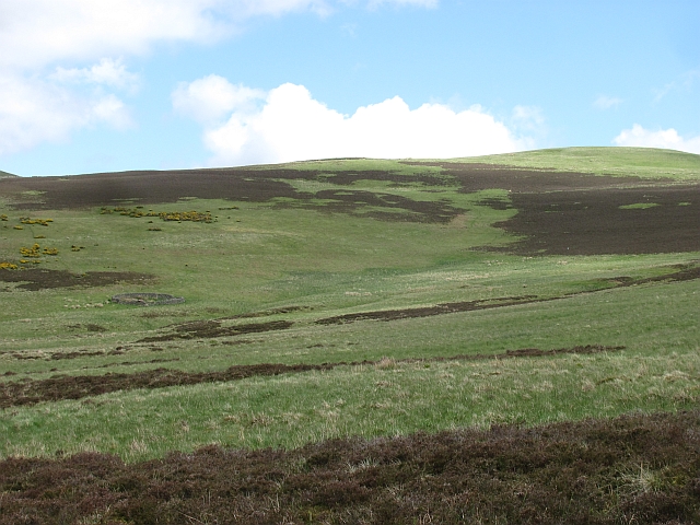
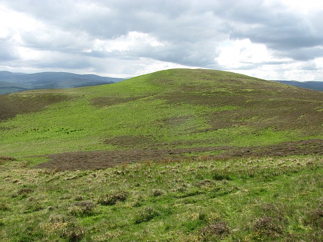
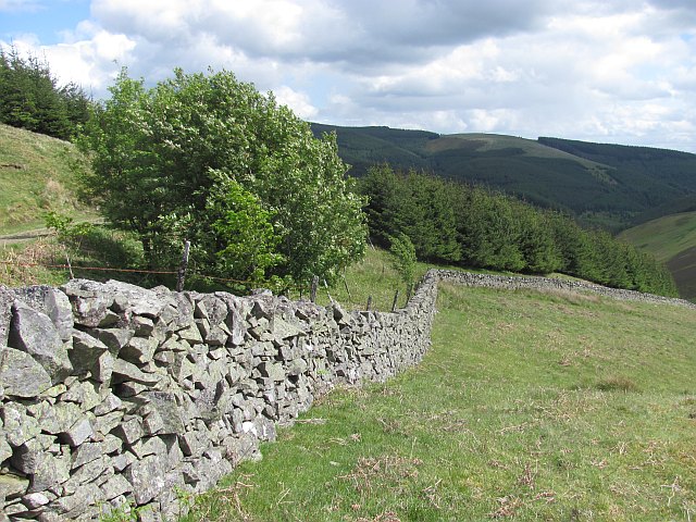
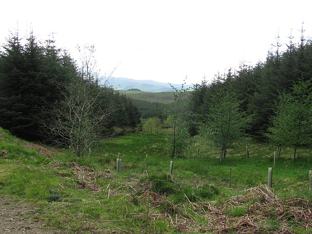
Crooks Hope is a picturesque valley located in the region of Peeblesshire, Scotland. With its tranquil atmosphere and stunning natural beauty, it attracts visitors from all over the world. Nestled amidst rolling hills and lush greenery, this valley offers a serene escape from the hustle and bustle of everyday life.

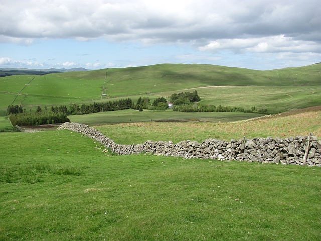
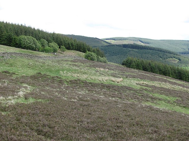
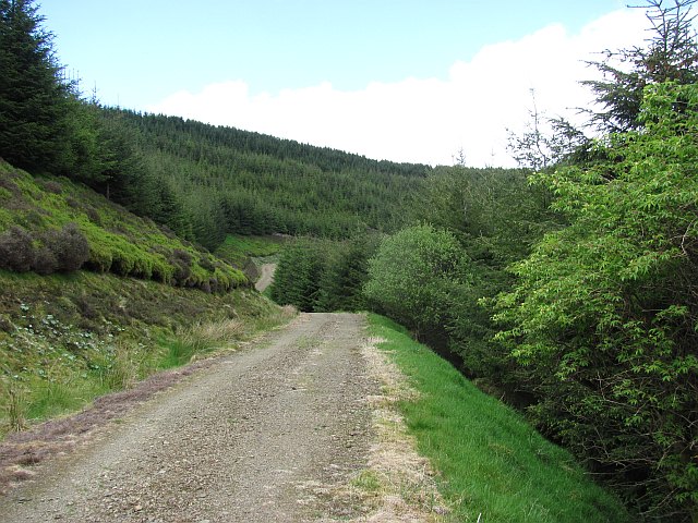
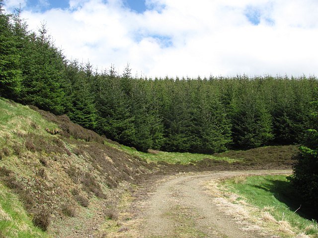
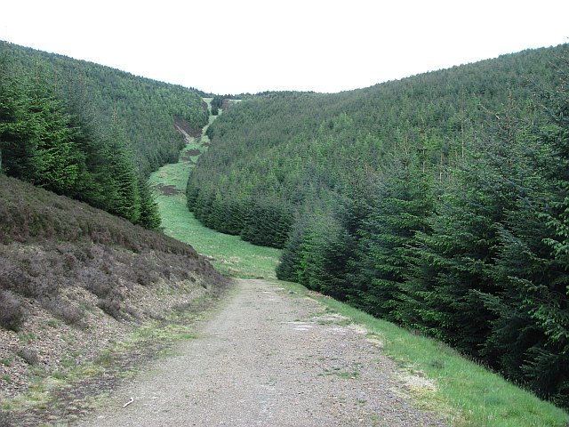
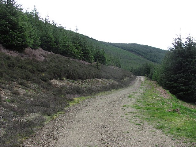
The landscape of Crooks Hope is characterized by its wide open spaces, dotted with scattered trees and wildflowers. The valley is crisscrossed by a meandering river, which adds to the charm of the surroundings. The gentle sound of flowing water creates a soothing ambiance, perfect for relaxation and reflection.

The valley is known for its diverse wildlife, with a rich variety of species calling it home. Birdwatchers will delight in spotting various avian species, including buzzards, kestrels, and herons. In addition to birdlife, squirrels, foxes, and deer can also be spotted roaming freely in the valley.

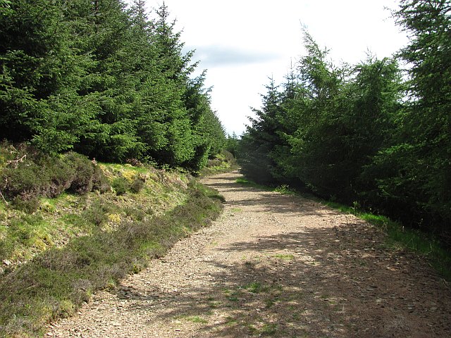
Crooks Hope offers a range of outdoor activities for visitors to enjoy. Hiking enthusiasts can explore the numerous trails that wind through the valley, offering breathtaking views at every turn. The valley is also a haven for anglers, with the river providing excellent opportunities for fishing.

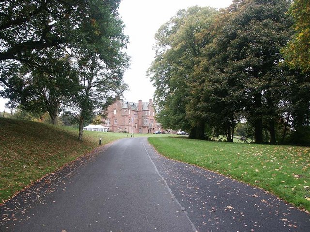
For those seeking a cultural experience, the nearby town of Peeblesshire offers historical attractions, including ancient castles and ruins. Additionally, visitors can indulge in traditional Scottish cuisine and explore local shops and markets.

In summary, Crooks Hope in Peeblesshire is a tranquil valley that showcases the natural beauty of Scotland. With its stunning landscapes, diverse wildlife, and range of outdoor activities, it is an idyllic destination for nature lovers and those seeking a peaceful retreat.

If you have any feedback on the listing, please let us know in the comments section below.

Crooks Hope Images

Images are sourced within 2km of 55.690422/-3.1678439 or Grid Reference NT2644. Thanks to Geograph Open Source API. All images are credited.

Heathpool Common An unexpected area of heather moorland amongst the fields and forestry. View towards Collie Law.
Heathpool Common
An unexpected area of heather moorland amongst the fields and forestry. View towards Collie Law.
Heathpool Common The dyke separates a heather moor from improved grazing. There is a gate at NT251439 which leads on to the moor.  If travelling with a horse, beware! There is a further gate at NT262443 which is locked. Not too helpful if trying to get into the forest.
Heathpool Common
The dyke separates a heather moor from improved grazing. There is a gate at NT251439 which leads on to the moor. If travelling with a horse, beware! There is a further gate at NT262443 which is locked. Not too helpful if trying to get into the forest.
Gate, Winkston Hill A gate allows movement from farmland to an area of moorland. A path heads towards White Law and the forest beyond, but the next gate, similar to this one is locked. No probs on foot or a bike, but a horse stopper.
Gate, Winkston Hill
A gate allows movement from farmland to an area of moorland. A path heads towards White Law and the forest beyond, but the next gate, similar to this one is locked. No probs on foot or a bike, but a horse stopper.
Path, Winkston Hill An area of rough grazing and moorland to the northwest of Collie Law (background).
Path, Winkston Hill
An area of rough grazing and moorland to the northwest of Collie Law (background).
Heathpool Common An area of moorland and rough grassland on Collie Law.
Heathpool Common
An area of moorland and rough grassland on Collie Law.
Collie Law A circular sheep fank beneath Collie Law.
Collie Law
A circular sheep fank beneath Collie Law.
Winkston Hill Spring grass on an upland pasture. Behind the camera is a contrasting area of heather.
Winkston Hill
Spring grass on an upland pasture. Behind the camera is a contrasting area of heather.
Ewes and lambs, Winkston Hill Sheep pasture above Peebles.
Ewes and lambs, Winkston Hill
Sheep pasture above Peebles.
Winkston Hill A view along the ridge.
Winkston Hill
A view along the ridge.
Forest and moor, White Hill Young plantation, an extension to the vast woodlands in the south west Moorfoot Hills.
Forest and moor, White Hill
Young plantation, an extension to the vast woodlands in the south west Moorfoot Hills.
Collie Law Moorland summit in the Moorfoot Hills.
Collie Law
Moorland summit in the Moorfoot Hills.
Dyke, White Law Edge of the forest above Soonhope.
Dyke, White Law
Edge of the forest above Soonhope.
Logging road, Crookshope View along one of the forest roads which contour the steep sides of some of the Moorfoot Hill glens.
Logging road, Crookshope
View along one of the forest roads which contour the steep sides of some of the Moorfoot Hill glens.
Forest, Crookshope Sitka spruce plantations at the head of Crookshope beneath Whiteside Edge.
Forest, Crookshope
Sitka spruce plantations at the head of Crookshope beneath Whiteside Edge.
Forest road, Soonhope The upper reaches of the Soonhope Burn, clothed in a first generation Sitka spruce plantation.
Forest road, Soonhope
The upper reaches of the Soonhope Burn, clothed in a first generation Sitka spruce plantation.
Soonhope Burn A gap in the Sitka spruce for the burn, with some limited broadleaf planting.
Soonhope Burn
A gap in the Sitka spruce for the burn, with some limited broadleaf planting.
Forest road, Soonhope A road contours around the upper glen through seemingly endless Sitka plantations.
Forest road, Soonhope
A road contours around the upper glen through seemingly endless Sitka plantations.
Forest road, Soonhope This logging road in privately maintained forestry is shown ending near here with no connection with the road network in the neighbouring Forestry Commission woodland. No problem if on foot, bike or horesback as the roads almost meet and there is a short easy path connecting them.
Forest road, Soonhope
This logging road in privately maintained forestry is shown ending near here with no connection with the road network in the neighbouring Forestry Commission woodland. No problem if on foot, bike or horesback as the roads almost meet and there is a short easy path connecting them.
Show me another place!

Crooks Hope is located at Grid Ref: NT2644 (Lat: 55.690422, Lng: -3.1678439)

Unitary Authority: The Scottish Borders

Police Authority: The Lothians and Scottish Borders

What 3 Words

///drank.schooling.redefined. Near Peebles, Scottish Borders

Nearby Locations

Crooks Hope

Related Wikis

Milkieston Rings

Milkieston Rings is a prehistoric site, a hillfort near the village of Eddleston and about 3 miles (5 km) north of Peebles, in the Scottish Borders, Scotland...

Glentress Forest

Glentress Forest is located near Peebles in the Scottish Borders, about 30 miles south of Edinburgh. Part of the Tweed Valley Forest Park along with Traquair...

Redscarhead

Redscarhead is a village in the Scottish Borders area of Scotland, off the A703, by the Eddleston Water, and close to Cringletie. In the village is a memorial...

Cringletie

Cringletie is a Scottish Baronial house by the Eddleston Water, around 3 kilometres (1.9 mi) south of Eddleston in the Scottish Borders area of Scotland...

Nearby Amenities

Located within 500m of 55.690422,-3.1678439
White Law
Ele: 458
Natural: peak
Source: OS_OpenData_StreetView
Lat/Long: 55.6889201/-3.172375
Crooks Hope
Natural: peak
Lat/Long: 55.6898415/-3.1673797
The data included in this document is from www.openstreetmap.org. The data is made available under ODbL.

Have you been to Crooks Hope?

Leave your review of Crooks Hope below (or comments, questions and feedback).