Lask Edge
Settlement in Staffordshire Staffordshire Moorlands
England
Lask Edge
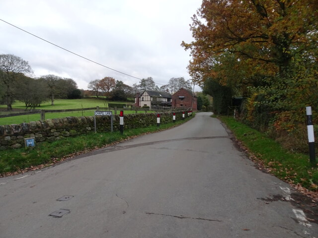
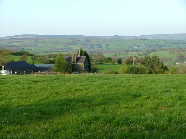
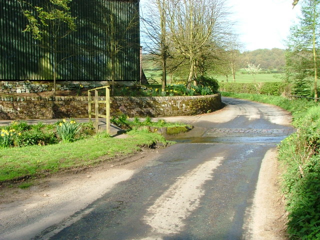
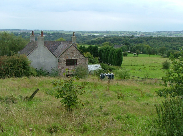
Lask Edge is a small village located in the county of Staffordshire, England. It is situated in the Staffordshire Moorlands district, approximately 5 miles southeast of the town of Leek. Lask Edge is nestled in the scenic countryside, surrounded by rolling hills and idyllic landscapes.
The village is characterized by its rural charm and tranquil atmosphere. It is predominantly residential, with a small population of around 200 residents. The architecture in Lask Edge is a blend of traditional and modern houses, reflecting the village's rich history and ongoing development.
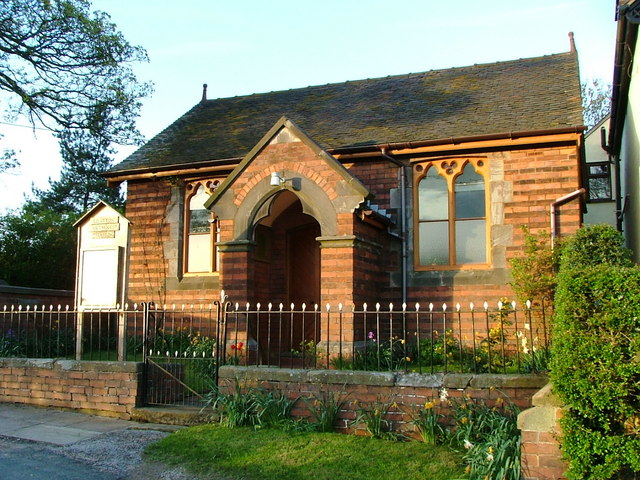
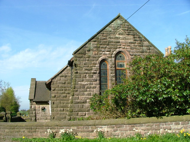
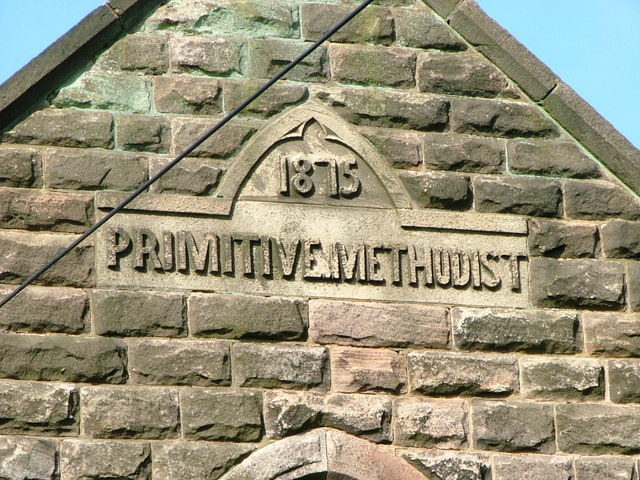
Despite its small size, Lask Edge offers a range of amenities and facilities for its residents. These include a village hall, a local pub, and a small convenience store. The village hall serves as a hub for community events and gatherings, providing a space for various activities and celebrations.
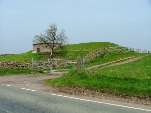
Lask Edge is also renowned for its picturesque countryside, which attracts nature enthusiasts and hikers. The surrounding area offers numerous walking trails and scenic routes, allowing visitors to explore the beauty of Staffordshire's countryside. Additionally, the village is in close proximity to the Peak District National Park, a renowned destination for outdoor activities and leisure pursuits.
Overall, Lask Edge provides a peaceful and picturesque setting for its residents and visitors. Its rural charm, coupled with its proximity to natural landscapes, makes it an ideal place for those seeking a tranquil retreat or a base for exploring the beauty of the Staffordshire Moorlands.
If you have any feedback on the listing, please let us know in the comments section below.
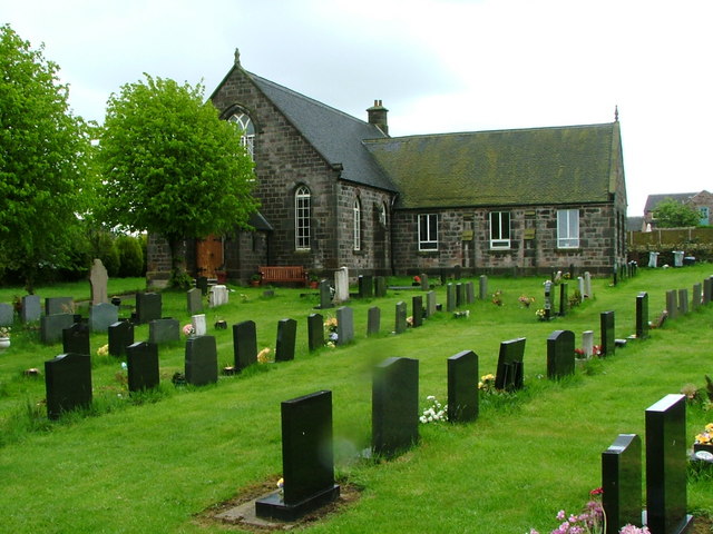
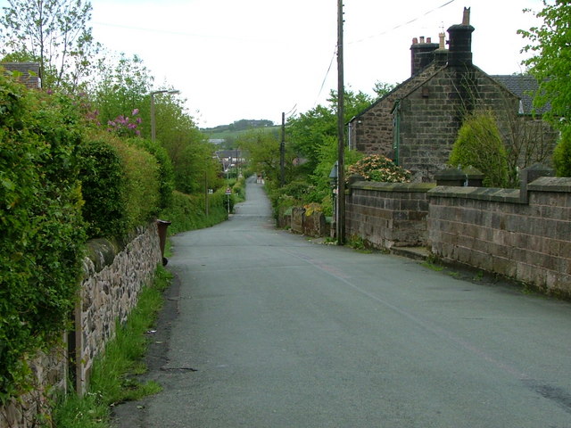
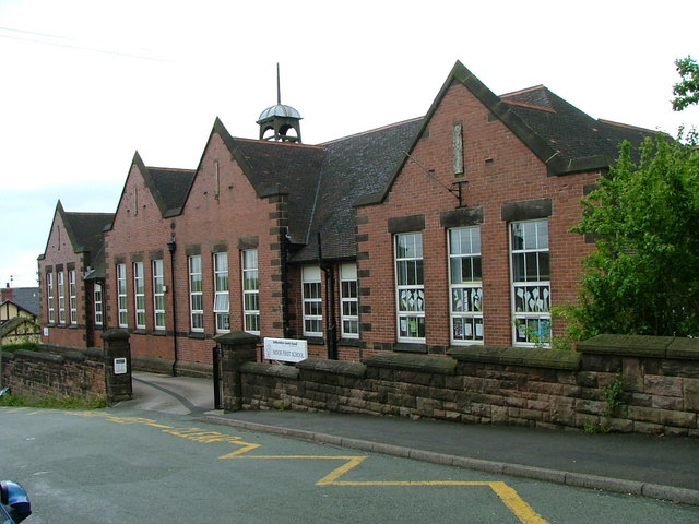
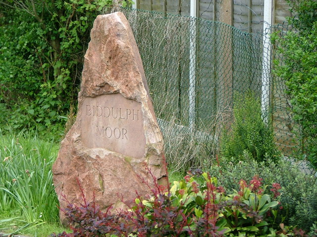
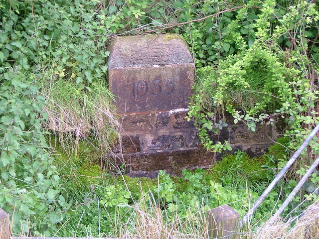
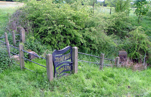
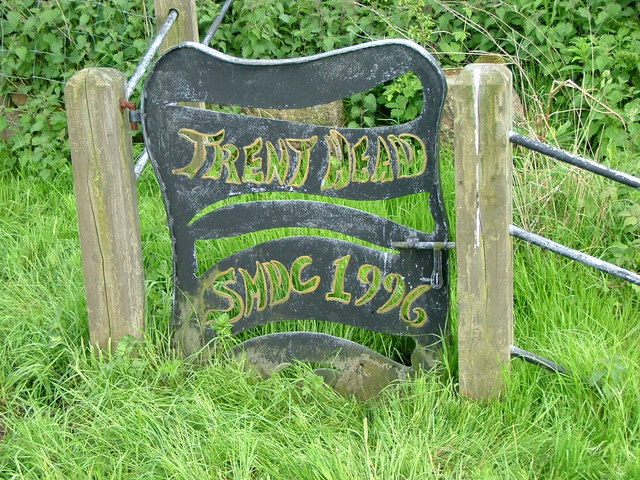
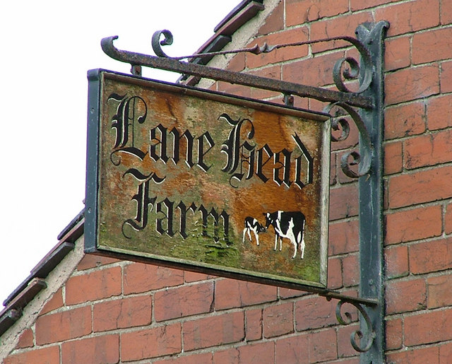
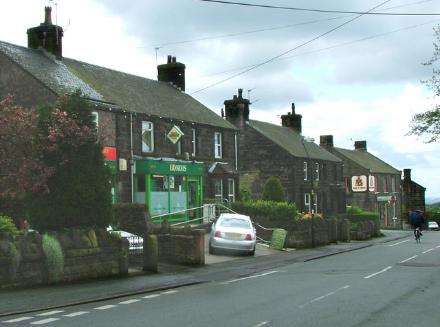
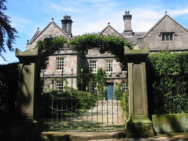
Lask Edge Images
Images are sourced within 2km of 53.111454/-2.125456 or Grid Reference SJ9157. Thanks to Geograph Open Source API. All images are credited.

Lask Edge is located at Grid Ref: SJ9157 (Lat: 53.111454, Lng: -2.125456)
Administrative County: Staffordshire
District: Staffordshire Moorlands
Police Authority: Staffordshire
What 3 Words
///reinforce.reinforce.duplicity. Near Biddulph, Staffordshire
Nearby Locations
Related Wikis
Biddulph Moor
Biddulph Moor is a village located on the hill which bears the same name. It is in Biddulph parish and is a part of the Staffordshire Moorlands district...
Horton, Staffordshire
Horton is a village and civil parish in the English county of Staffordshire. The population of the civil parish as taken at the 2011 census was 781. It...

Biddulph Grange Country Park
Biddulph Grange Country Park is a country park in Biddulph, UK. It was originally part of Biddulph Grange. == Contents == The 73 acres (0.30 km2) park...

Knypersley Reservoir
Knypersley Reservoir near Biddulph, Staffordshire, England, was built in 1827 to supply water to the Caldon Canal, along with two others at Stanley Pool...

Biddulph High School
Biddulph High School is a mixed upper school (termed 'high school') and sixth form located in the Knypersley area of Biddulph in the English county of...

The Ashes, Endon
The Ashes near Endon in Staffordshire is a building of historical significance and is Grade II* listed on the English Heritage Register. It was built in...

Biddulph
Biddulph is a town in Staffordshire, England, 8.5 miles (14 km) north of Stoke-on-Trent and 4.5 miles (7 km) south-east of Congleton, Cheshire. == Origin... ==

Biddulph Grange
Biddulph Grange is a National Trust landscaped garden, in Biddulph near Stoke-on-Trent, Staffordshire, England. It is separate from Biddulph Grange Country...
Nearby Amenities
Located within 500m of 53.111454,-2.125456Have you been to Lask Edge?
Leave your review of Lask Edge below (or comments, questions and feedback).