Nant Carn
Valley in Monmouthshire
Wales
Nant Carn
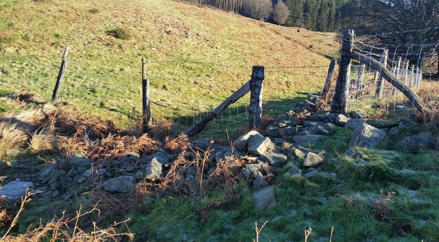
Nant Carn is a small valley located in Monmouthshire, Wales. Situated near the town of Abergavenny, Nant Carn is known for its picturesque landscapes and lush greenery. The valley is surrounded by rolling hills and dense forests, making it a popular destination for nature lovers and hikers.
Nant Carn is home to a variety of wildlife, including deer, foxes, and a wide range of bird species. The valley is also known for its tranquil atmosphere, making it a peaceful retreat for those looking to escape the hustle and bustle of city life.
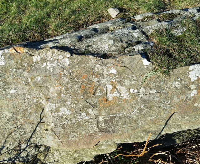
In addition to its natural beauty, Nant Carn is also steeped in history. The valley is dotted with ancient ruins and archaeological sites, providing a glimpse into the area's rich past. Visitors can explore these remnants of the past while taking in the stunning views of the surrounding countryside.
Overall, Nant Carn is a hidden gem in Monmouthshire, offering visitors a chance to immerse themselves in nature and history while enjoying the peaceful surroundings of this charming valley.
If you have any feedback on the listing, please let us know in the comments section below.
Nant Carn Images
Images are sourced within 2km of 51.65358/-3.0749404 or Grid Reference ST2595. Thanks to Geograph Open Source API. All images are credited.


Nant Carn is located at Grid Ref: ST2595 (Lat: 51.65358, Lng: -3.0749404)
Unitary Authority: Torfaen
Police Authority: Gwent
What 3 Words
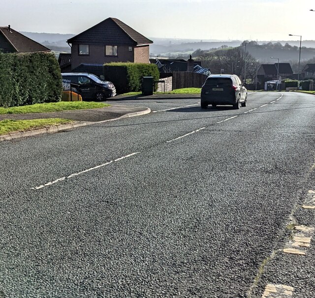
///foods.solid.goat. Near Cwmbran, Torfaen
Nearby Locations
Related Wikis

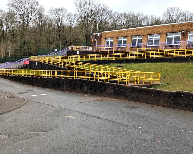
Cwmbran High School
Cwmbran High School (Welsh: Ysgol Uwchradd Cwmbran), previously known as Fairwater High School, is a state-funded and non-selective comprehensive school...
Thornhill, Torfaen
Thornhill is a large council estate on the western side of Cwmbran, Torfaen in Wales. It is adjacent to the suburbs of Greenmeadow and Upper Cwmbran and...
Greenmeadow
Greenmeadow is a suburb of Cwmbran in the county borough of Torfaen, within the historic county boundaries of Monmouthshire, southern Wales, United Kingdom...

Fairwater, Torfaen
Fairwater is a community and suburb of Cwmbran in the county borough of Torfaen, in south east Wales, and was built by the Cwmbran Development Corporation...
Nearby Amenities
Located within 500m of 51.65358,-3.0749404Have you been to Nant Carn?
Leave your review of Nant Carn below (or comments, questions and feedback).