Borrowdale
Valley in Cumberland Allerdale
England
Borrowdale
Borrowdale is a picturesque valley located in the county of Cumberland, in the northwest region of England. Situated within the Lake District National Park, it is renowned for its outstanding natural beauty and is a popular destination for outdoor enthusiasts and nature lovers.
The valley is surrounded by towering mountains, including Scafell Pike, the highest peak in England, and is crisscrossed by several picturesque rivers, such as the River Derwent and its tributaries. These waterways flow through the valley, creating stunning waterfalls and providing opportunities for various water activities, including kayaking and fishing.
The landscape of Borrowdale is characterized by its lush green meadows, dotted with traditional farmhouses and quaint villages. The valley is also home to a diverse range of flora and fauna, including rare plant species and a variety of birdlife.
The area offers a plethora of outdoor activities, with numerous hiking trails and mountain biking routes to explore. One of the most popular walks is the ascent of Catbells, a fell that offers breathtaking views of the surrounding landscape. Additionally, rock climbing enthusiasts can test their skills on the crags and cliffs that dominate the valley.
Borrowdale is also known for its rich cultural heritage, with several historic landmarks and sites of interest. Honister Slate Mine, located in the valley, is one of the last working slate mines in England and offers guided tours for visitors to learn about the mining industry. The valley is also home to several traditional pubs and charming tea rooms, where visitors can enjoy local cuisine and refreshments.
Overall, Borrowdale, Cumberland is a captivating destination that combines stunning natural beauty with a rich cultural heritage, attracting visitors from all over the world to experience its charm and tranquility.
If you have any feedback on the listing, please let us know in the comments section below.
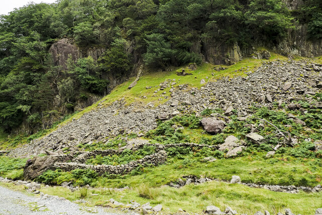
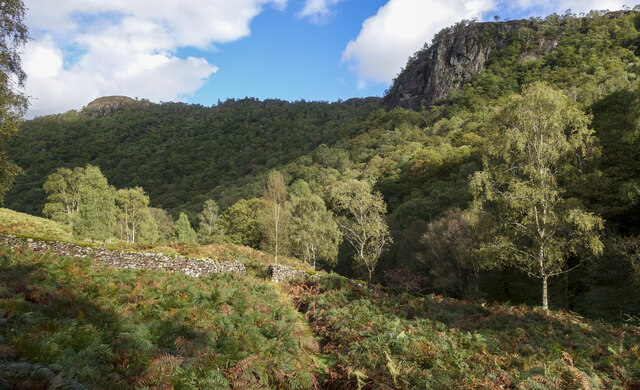
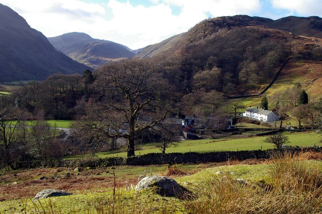
Borrowdale Images
Images are sourced within 2km of 54.5277/-3.1523008 or Grid Reference NY2515. Thanks to Geograph Open Source API. All images are credited.


Borrowdale is located at Grid Ref: NY2515 (Lat: 54.5277, Lng: -3.1523008)
Administrative County: Cumbria
District: Allerdale
Police Authority: Cumbria
What 3 Words
///tinny.jams.grounding. Near Keswick, Cumbria
Nearby Locations
Related Wikis

Stonethwaite Beck
Stonethwaite Beck is a minor river in Cumbria, England. It is a tributary of the River Derwent. Stonethwaite Beck is formed at the confluence of Langstrath...

Borrowdale
Borrowdale is a valley and civil parish in the English Lake District in Cumberland, England. It is in the ceremonial county of Cumbria, and is sometimes...
Rosthwaite, Borrowdale
Rosthwaite is a settlement in the Borrowdale parish of Cumberland, Cumbria, England. It is also in Borrowdale in the English Lake District to the south...

Castle Crag
Castle Crag is a hill in the North Western Fells of the English Lake District. It is the smallest hill included in Alfred Wainwright's influential Pictorial...

Bowder Stone
The Bowder Stone is a large andesite lava boulder, that fell 200 metres (660 ft) from the Bowder Crag on Kings How between 13,500 and 10,000 years ago...

Great Crag
Great Crag is a fell in the English Lake District, located near the hamlets of Rosthwaite and Stonethwaite in Borrowdale. == Topography == The higher slopes...
Seatoller
Seatoller is a settlement in Borrowdale in the English Lake District. Historically part of Cumberland, it lies on the B5289 road at the east foot of the...

Dock Tarn
Dock Tarn is a small tarn located within the Lake District National Park in Cumbria, England, at grid reference NY273143. It is situated on moorland at...
Related Videos
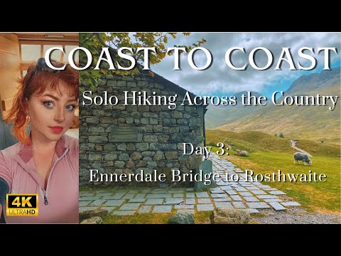
Coast to Coast: Solo Hiking Across the Country - Day 3 (4K)
Join me on Patreon! https://www.patreon.com/TinyPineOutdoors Day 3 of solo hiking the Coast to Coast, I set off from Ennerdale ...


Hiking Castle Crag in the Borrowdale Valley - Easy Lake District Walk
Castle Crag is the smallest Wainwright found in the Lake District National Park standing at just 985'. It may be small, but it sure is ...

LAKE DISTRICT National Park. Hiking in England: around Scaffel Pike.
Hiking in England: LAKE DISTRICT National Park. Walk around Scaffel Pike. A place to discover with your family, friends, or on ...
Nearby Amenities
Located within 500m of 54.5277,-3.1523008Have you been to Borrowdale?
Leave your review of Borrowdale below (or comments, questions and feedback).