Rossie Den

Valley in Fife

Scotland

Rossie Den

A91 Cupar Road
A91 Cupar Road Credit: Mark Anderson

Rossie Den is a picturesque valley located in the county of Fife, Scotland. Situated near the village of Auchtermuchty, this serene and enchanting spot is a popular destination for nature lovers and hikers alike.

The den itself is an ancient wooded gorge, carved out by the meandering Rossie Burn over millions of years. Towering trees, including oak and beech, line the sides of the gorge, creating a lush and vibrant canopy that provides shade and shelter to the flora and fauna that call this valley home.

The den offers a network of well-maintained footpaths, allowing visitors to explore its beauty at their own pace. As you wander through the valley, you will encounter babbling brooks, small waterfalls, and tranquil pools, all adding to the enchanting atmosphere. The sights and sounds of wildlife, such as squirrels, birds, and even the occasional deer, further enhance the natural experience.

Rossie Den is also known for its historical significance. The remains of an old mill can be found within the valley, serving as a reminder of the area's industrial past. The mill was once powered by the Rossie Burn, harnessing its force to grind grain and provide essential services to the local community.

Overall, Rossie Den is a hidden gem in Fife, offering a peaceful retreat from the hustle and bustle of everyday life. Its stunning natural beauty and historical charm make it a must-visit destination for those seeking solace in nature or a glimpse into the region's past.

If you have any feedback on the listing, please let us know in the comments section below.
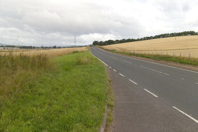
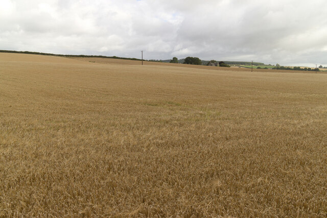
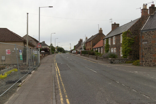
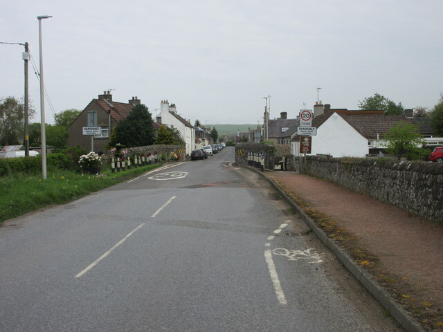
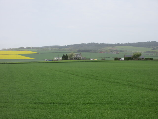
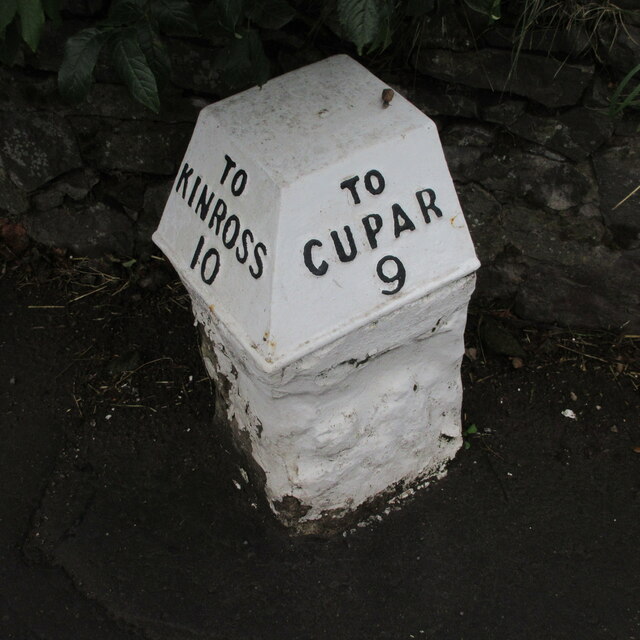
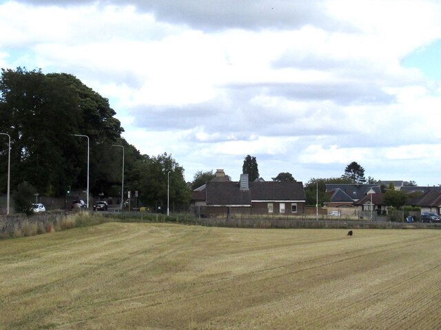
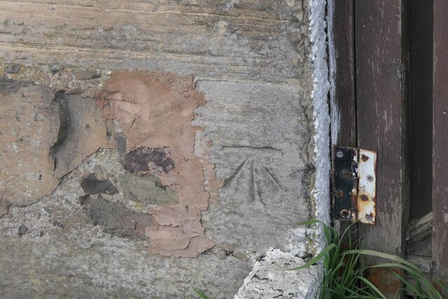
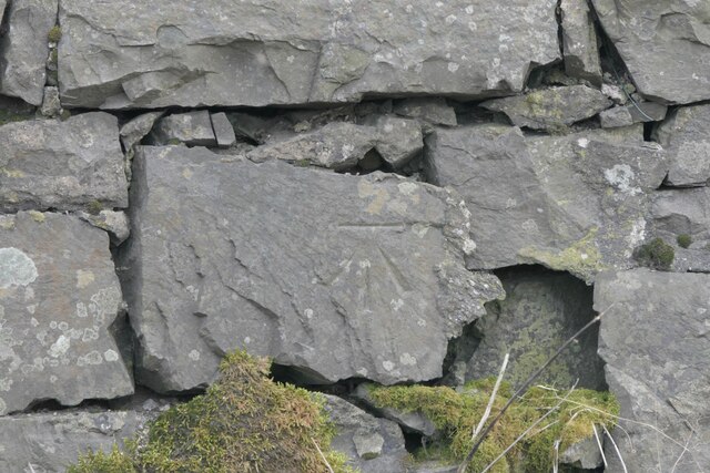
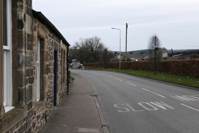
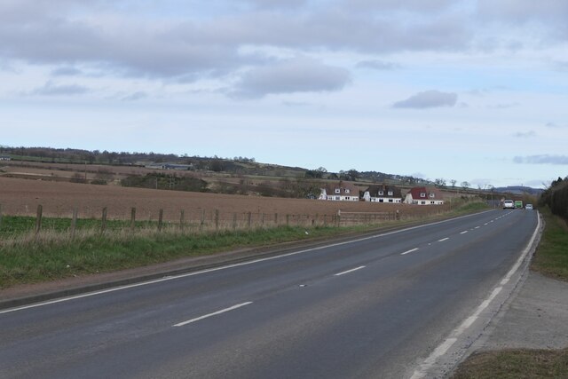
Rossie Den Images

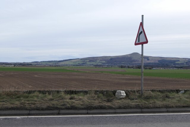
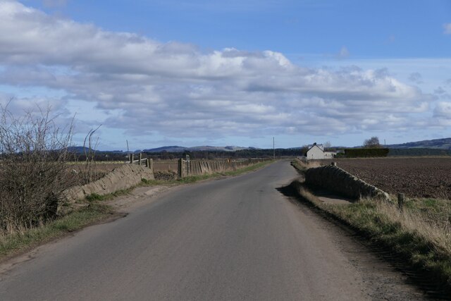
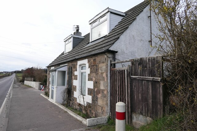
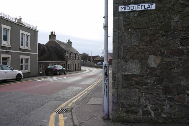
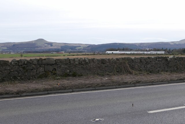
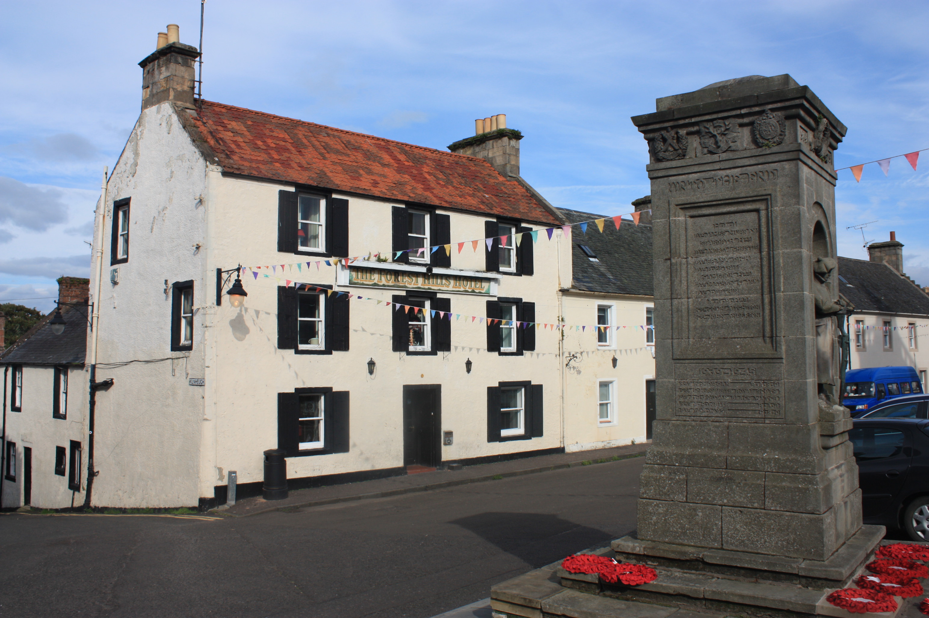
Images are sourced within 2km of 56.295524/-3.2182784 or Grid Reference NO2412. Thanks to Geograph Open Source API. All images are credited.

A91 Cupar Road
A91 Cupar Road
Field near Rossie
Field near Rossie
Low Road, Auchtermuchty At the junction with Crosshills.
Low Road, Auchtermuchty
At the junction with Crosshills.
B936 into Dunshalt The B936 heading north into the village of Dunshalt.
B936 into Dunshalt
The B936 heading north into the village of Dunshalt.
Looking north to Daubs Looking north to Daubs from the C57 (Fife) road between Dunshalt and Ladybank.
Looking north to Daubs
Looking north to Daubs from the C57 (Fife) road between Dunshalt and Ladybank.
A91 Low Road Milestone Milestone with cast-iron cap on the A91 Low Road in Auchtermuchty.
A91 Low Road Milestone
Milestone with cast-iron cap on the A91 Low Road in Auchtermuchty.
Field, Auchtermuchty View from the new Co-op car park.
Field, Auchtermuchty
View from the new Co-op car park.
Location of Cut Mark - Auchtermuchty, #31 High Street
Benchmark, Rossieden Cottage, Auchtermuchty Ordnance Survey benchmark, described on database at <span class="nowrap"><a title="https://www.bench-marks.org.uk/bm44695" rel="nofollow ugc noopener" href="https://www.bench-marks.org.uk/bm44695">Link</a><img style="margin-left:2px;" alt="External link" title="External link - shift click to open in new window" src="https://s1.geograph.org.uk/img/external.png" width="10" height="10"/></span>. For context photo, see: <a href="https://www.geograph.org.uk/photo/7429948">NO2411 : Rossieden Cottage, Auchtermuchty</a>
Benchmark, Rossieden Cottage, Auchtermuchty
Ordnance Survey benchmark, described on database at LinkExternal link. For context photo, see: NO2411 : Rossieden Cottage, Auchtermuchty
Benchmark, Southfield, Auchtermuchty Ordnance Survey benchmark on wall, described on database at <span class="nowrap"><a title="https://www.bench-marks.org.uk/bm187337" rel="nofollow ugc noopener" href="https://www.bench-marks.org.uk/bm187337">Link</a><img style="margin-left:2px;" alt="External link" title="External link - shift click to open in new window" src="https://s1.geograph.org.uk/img/external.png" width="10" height="10"/></span>. See also <a href="https://www.geograph.org.uk/photo/7429980">NO2411 : Wall on A91 near Auchtermuchty</a>.
Benchmark, Southfield, Auchtermuchty
Ordnance Survey benchmark on wall, described on database at LinkExternal link. See also NO2411 : Wall on A91 near Auchtermuchty.
Leaving Auchtermuchty The B936 south from Auchtermuchty to Dunshalt.
Leaving Auchtermuchty
The B936 south from Auchtermuchty to Dunshalt.
Rosslem Cottages on A91
Milestone on A91 near Auchtermuchty To Kinross 11; To Cupar 8
Milestone on A91 near Auchtermuchty
To Kinross 11; To Cupar 8
Bridge over Auchtermuchty Burn near Dunshalt
Benchmark 1 Cupar Road, Auchtermuchty Ordnance  Survey benchmark on cottage, described on database at <span class="nowrap"><a title="https://www.bench-marks.org.uk/bm37589" rel="nofollow ugc noopener" href="https://www.bench-marks.org.uk/bm37589">Link</a><img style="margin-left:2px;" alt="External link" title="External link - shift click to open in new window" src="https://s1.geograph.org.uk/img/external.png" width="10" height="10"/></span>. See also <a href="https://www.geograph.org.uk/photo/7430048">NO2411 : 1 Cupar Road, Auchtermuchty</a>.
Benchmark 1 Cupar Road, Auchtermuchty
Ordnance Survey benchmark on cottage, described on database at LinkExternal link. See also NO2411 : 1 Cupar Road, Auchtermuchty.
Rossieden Cottage, Auchtermuchty There is an Ordnance Survey benchmark on this cottage. For photo, see: <a href="https://www.geograph.org.uk/photo/7429901">NO2411 : Benchmark, Rossieden Cottage, Auchtermuchty</a>
Rossieden Cottage, Auchtermuchty
There is an Ordnance Survey benchmark on this cottage. For photo, see: NO2411 : Benchmark, Rossieden Cottage, Auchtermuchty
House on Cupar Road/Middleflat, Auchtermuchty There is an Ordnance Survey benchmark on this building.
House on Cupar Road/Middleflat, Auchtermuchty
There is an Ordnance Survey benchmark on this building.
Wall on A91 near Auchtermuchty There is an Ordnance Survey benchmark on this wall, more or less directly below East Lomond. See also <a href="https://www.geograph.org.uk/photo/7429912">NO2411 : Benchmark, Southfield, Auchtermuchty</a>.
Wall on A91 near Auchtermuchty
There is an Ordnance Survey benchmark on this wall, more or less directly below East Lomond. See also NO2411 : Benchmark, Southfield, Auchtermuchty.
Show me another place!

Rossie Den is located at Grid Ref: NO2412 (Lat: 56.295524, Lng: -3.2182784)

Unitary Authority: Fife

Police Authority: Fife

What 3 Words

///mouth.crunch.timed. Near Auchtermuchty, Fife

Nearby Locations

Rossie Braes Rossie Den

Related Wikis

Auchtermuchty Town House

Auchtermuchty Town House is a municipal structure in the High Street, Auchtermuchty, Fife, Scotland. The structure, which accommodates the local public...

Auchtermuchty railway station

Auchtermuchty railway station served the village of Auchtermuchty, in Fife, Scotland. == History == Opened by the Fife and Kinross Railway, it became part...

Auchtermuchty

Auchtermuchty ( ; Scottish Gaelic: Uachdar Mucadaidh, 'upland of the pigs/boar') is a town in Fife, Scotland. It is beside Pitlour Hill and 9 miles (14...

Myres Castle

Myres Castle is a Scottish castle situated in Fife near the village of Auchtermuchty. Its history is interleaved with that of nearby Falkland Palace with...

Nearby Amenities

Located within 500m of 56.295524,-3.2182784
Power: tower
Lat/Long: 56.2927672/-3.2159998
Power: tower
Lat/Long: 56.2956381/-3.2204371
Power: tower
Lat/Long: 56.298206/-3.2244062
Power: pole
Lat/Long: 56.2935813/-3.214124
Power: pole
Lat/Long: 56.293672/-3.2131767
Power: pole
Lat/Long: 56.2936835/-3.2131002
Power: pole
Lat/Long: 56.2939807/-3.2120743
Power: pole
Lat/Long: 56.2943228/-3.2109326
The data included in this document is from www.openstreetmap.org. The data is made available under ODbL.

Have you been to Rossie Den?

Leave your review of Rossie Den below (or comments, questions and feedback).