Bryn-côch Dingle

Valley in Denbighshire

Wales

Bryn-côch Dingle

Property at Bwlch farm near Oswestry Lush blossom trees add a vivality to the scene here in April.
Property at Bwlch farm near Oswestry Credit: Jeremy Bolwell

Bryn-côch Dingle is a picturesque valley located in Denbighshire, Wales. Nestled amidst the breathtaking Clwydian Range, this hidden gem offers a tranquil escape for nature enthusiasts and hikers alike.

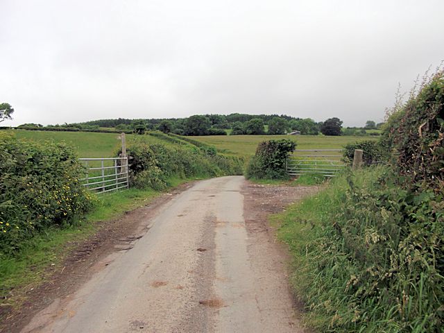
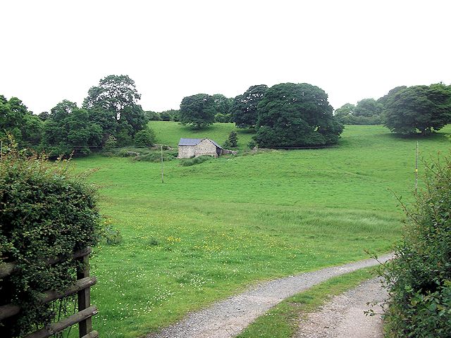
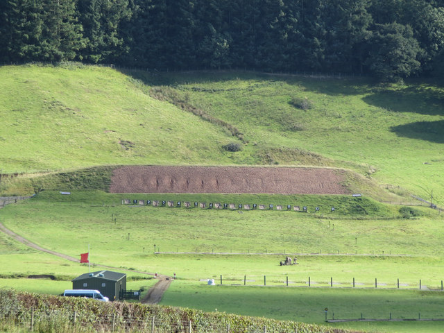
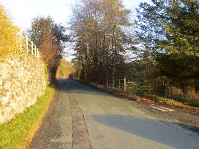
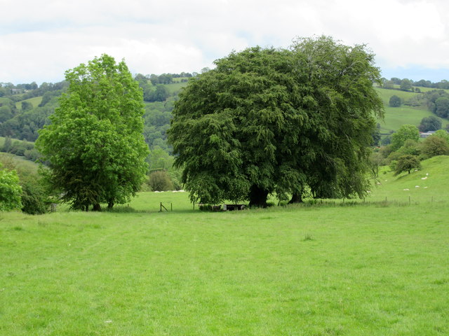
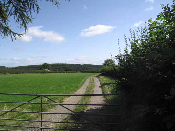
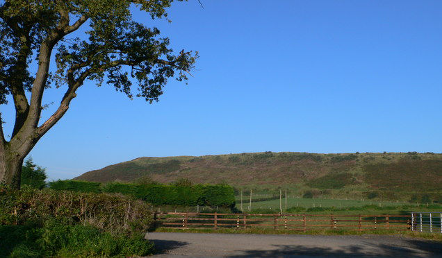
The valley is characterized by its lush greenery, rolling hills, and meandering streams. Its name, Bryn-côch, translates to "red hill" in Welsh, which aptly describes the reddish hues of the soil found here. The landscape is predominantly rural, with scattered farmhouses and fields, providing a glimpse into the traditional agricultural practices of the region.

The highlight of Bryn-côch Dingle is undoubtedly its diverse wildlife and rich biodiversity. The valley is home to a variety of bird species, including buzzards, kestrels, and red kites, which can often be spotted soaring above the treetops. In addition, the tranquil streams that meander through the valley attract a wide range of aquatic life, including otters and kingfishers.

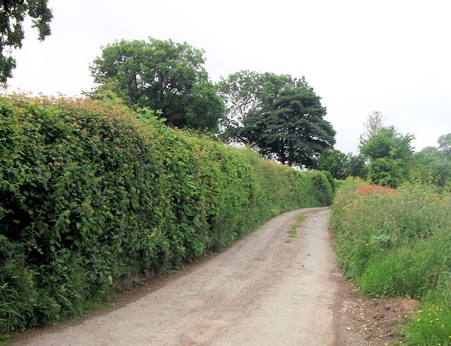
Hikers and nature lovers will find an extensive network of footpaths and trails that wind through the valley, allowing visitors to explore its natural wonders at their own pace. The trails offer breathtaking views of the surrounding countryside, with glimpses of the Snowdonia National Park on clear days.

Visitors to Bryn-côch Dingle can also explore the nearby attractions, such as the historic market town of Denbigh, which boasts a medieval castle and charming streets lined with traditional Welsh shops and cafes.

In summary, Bryn-côch Dingle in Denbighshire is a beautiful valley that offers a peaceful retreat for those seeking to immerse themselves in nature. Its stunning landscapes, diverse wildlife, and proximity to other attractions make it a must-visit destination in Wales.

If you have any feedback on the listing, please let us know in the comments section below.

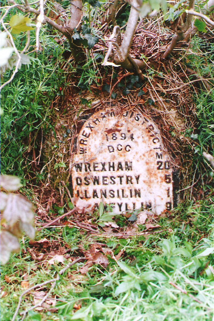
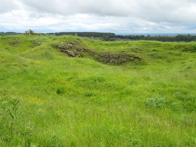
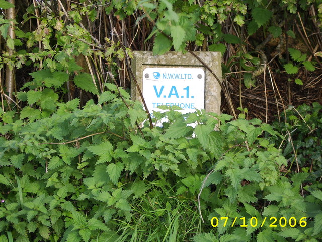
Bryn-côch Dingle Images

Images are sourced within 2km of 52.863157/-3.1332976 or Grid Reference SJ2330. Thanks to Geograph Open Source API. All images are credited.

Property at Bwlch farm near Oswestry Lush blossom trees add a vivality to the scene here in April.
Property at Bwlch farm near Oswestry
Lush blossom trees add a vivality to the scene here in April.
Alcove beside Offa's Dyke Path An ideal lunch spot on a warm April day; sheltered, private to a degree, overlooking the sunlit treetops in the wood below.
Alcove beside Offa's Dyke Path
An ideal lunch spot on a warm April day; sheltered, private to a degree, overlooking the sunlit treetops in the wood below.
Bench near Racecourse Wood, Oswestry A welcome rest point after ascending the wood via ODP.
Bench near Racecourse Wood, Oswestry
A welcome rest point after ascending the wood via ODP.
Gates and footpath from Pentregaer lane
Track to Pentregaer Uchaf There is a large barn in the field. Taken from cattle grid
Track to Pentregaer Uchaf
There is a large barn in the field. Taken from cattle grid
Lane to Pentregaer Issa Taken from junction of lane to Pentregaer Uchaf
Lane to Pentregaer Issa
Taken from junction of lane to Pentregaer Uchaf
Derelict house east of Bwlch-y-rhiw
Rifle range south of Bwlch-y-Rhiw
Sharp bend at Bwlch
Sharp bend at Bwlch
Ordnance Survey Flush Bracket G3024 This can be found on a converted barn - now a private dwelling - at Derwen Deg.
For more detail see : <span class="nowrap"><a title="http://www.bench-marks.org.uk/bm14927" rel="nofollow ugc noopener" href="http://www.bench-marks.org.uk/bm14927">Link</a><img style="margin-left:2px;" alt="External link" title="External link - shift click to open in new window" src="https://s1.geograph.org.uk/img/external.png" width="10" height="10"/></span>
Ordnance Survey Flush Bracket G3024
This can be found on a converted barn - now a private dwelling - at Derwen Deg. For more detail see : LinkExternal link
Ordnance Survey Flush Bracket G3023 This partly buried bracket can be found on the wall of a roadside outbuilding at Bryncoch, Tan-y-graig.
For more detail see : <span class="nowrap"><a title="http://www.bench-marks.org.uk/bm14926" rel="nofollow ugc noopener" href="http://www.bench-marks.org.uk/bm14926">Link</a><img style="margin-left:2px;" alt="External link" title="External link - shift click to open in new window" src="https://s1.geograph.org.uk/img/external.png" width="10" height="10"/></span>
Ordnance Survey Flush Bracket G3023
This partly buried bracket can be found on the wall of a roadside outbuilding at Bryncoch, Tan-y-graig. For more detail see : LinkExternal link
Road (B4580) at Bryncoch near Tan-y-graig Looking north-eastward,
Road (B4580) at Bryncoch near Tan-y-graig
Looking north-eastward,
Offa's Dyke path enters Racecourse Wood
Old Milestone by the B4580, Derwen-deg, Llansilin Wrexham Plate by the B4580, in parish of Llansilin (Powys District), Derwen Deg, in bank, North West side of road.

Inscription reads:- : WREXHAM DISTRICT / 1894 / DCC / M / WREXHAM 20 / ODWESTRY 5 / LLANSILIN 1 / LLANFYLLIN 9 :
 
Surveyed

Milestone Society National ID: DEN_LFOWa09.
Old Milestone by the B4580, Derwen-deg, Llansilin
Wrexham Plate by the B4580, in parish of Llansilin (Powys District), Derwen Deg, in bank, North West side of road. Inscription reads:- : WREXHAM DISTRICT / 1894 / DCC / M / WREXHAM 20 / ODWESTRY 5 / LLANSILIN 1 / LLANFYLLIN 9 : Surveyed Milestone Society National ID: DEN_LFOWa09.
Disused and overgrown Quarrying remains above Craig-y-rhiw.
Disused and overgrown
Quarrying remains above Craig-y-rhiw.
Deciduous trees in summer foliage
Janus Horse On Oswestry's Old Racecourse
Vyrnwy Aqueduct Marker
Show me another place!

Bryn-côch Dingle is located at Grid Ref: SJ2330 (Lat: 52.863157, Lng: -3.1332976)

Unitary Authority: Powys

Police Authority: Dyfed Powys

What 3 Words

///forgives.fuss.rather. Near Oswestry, Shropshire

Nearby Locations

Bryn-côch Dingle

Related Wikis

Rhydycroesau

Rhydycroesau is a tiny village on the English-Welsh border, 3.25 miles (5.23 km) west of Oswestry on the B4580 road. It lies partly in the Shropshire parish...

Llawnt

Llawnt is a village in Shropshire, England. The name comes from Middle Welsh, borrowing from the English 'lawn'. The meaning in this case is 'green' (named...

Nant-y-Gollen

Nant-y-Gollen is a village in Shropshire in England. == References ==

Oswestry Uplands

The Oswestry Uplands are a small natural region in the English county of Shropshire on the border with Wales. The Oswestry Uplands have been designated...

Nearby Amenities

Located within 500m of 52.863157,-3.1332976
Place: farm
Lat/Long: 52.8658108/-3.1359199
Generator Method: photovoltaic
Generator Output Electricity: yes
Generator Source: solar
Generator Type: solar_photovoltaic_panel
Location: roof
Power: generator
Lat/Long: 52.8609477/-3.1270319
The data included in this document is from www.openstreetmap.org. The data is made available under ODbL.

Have you been to Bryn-côch Dingle?

Leave your review of Bryn-côch Dingle below (or comments, questions and feedback).