Batches Dingle
Valley in Radnorshire
Wales
Batches Dingle

Batches Dingle is a quaint and picturesque valley located in the county of Radnorshire, Wales. This idyllic location is situated amidst the breathtaking landscape of the Radnor Forest, offering stunning views of rolling hills, lush greenery, and meandering streams.
The valley is known for its natural beauty and tranquility, attracting visitors who seek a peaceful retreat in the heart of nature. Batches Dingle is home to a diverse range of flora and fauna, including rare species such as the red kite and the otter. Nature enthusiasts can explore the numerous walking trails that wind through the valley, allowing them to immerse themselves in the serenity of the surroundings.
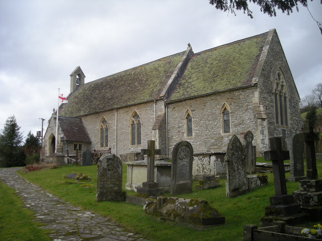
The charming village of Batches Dingle is nestled within the valley, offering a warm and welcoming atmosphere. The village is characterized by traditional stone cottages, giving it a timeless appeal. It is a close-knit community, where locals take pride in preserving the area's heritage and maintaining a strong sense of community spirit.
Visitors to Batches Dingle can enjoy a range of activities, from leisurely strolls along the riverbanks to horseback riding through the verdant countryside. The valley also provides opportunities for birdwatching, fishing, and picnicking, allowing visitors to fully embrace the beauty of the natural surroundings.
For those seeking a peaceful and picturesque escape, Batches Dingle in Radnorshire is an ideal destination. Whether it's exploring the scenic trails or simply unwinding in the tranquility of the valley, visitors are sure to find solace and serenity in this charming corner of Wales.
If you have any feedback on the listing, please let us know in the comments section below.
Batches Dingle Images
Images are sourced within 2km of 52.368236/-3.1427194 or Grid Reference SO2275. Thanks to Geograph Open Source API. All images are credited.


Batches Dingle is located at Grid Ref: SO2275 (Lat: 52.368236, Lng: -3.1427194)
Unitary Authority: Powys
Police Authority: Dyfed Powys
What 3 Words
///treaty.yield.windows. Near Knighton, Powys
Nearby Locations
Related Wikis
Llanfair Waterdine
Llanfair Waterdine, sometimes written as Llanvair Waterdine and meaning St Mary's Church Waterdine, is a small village and civil parish in Shropshire,...

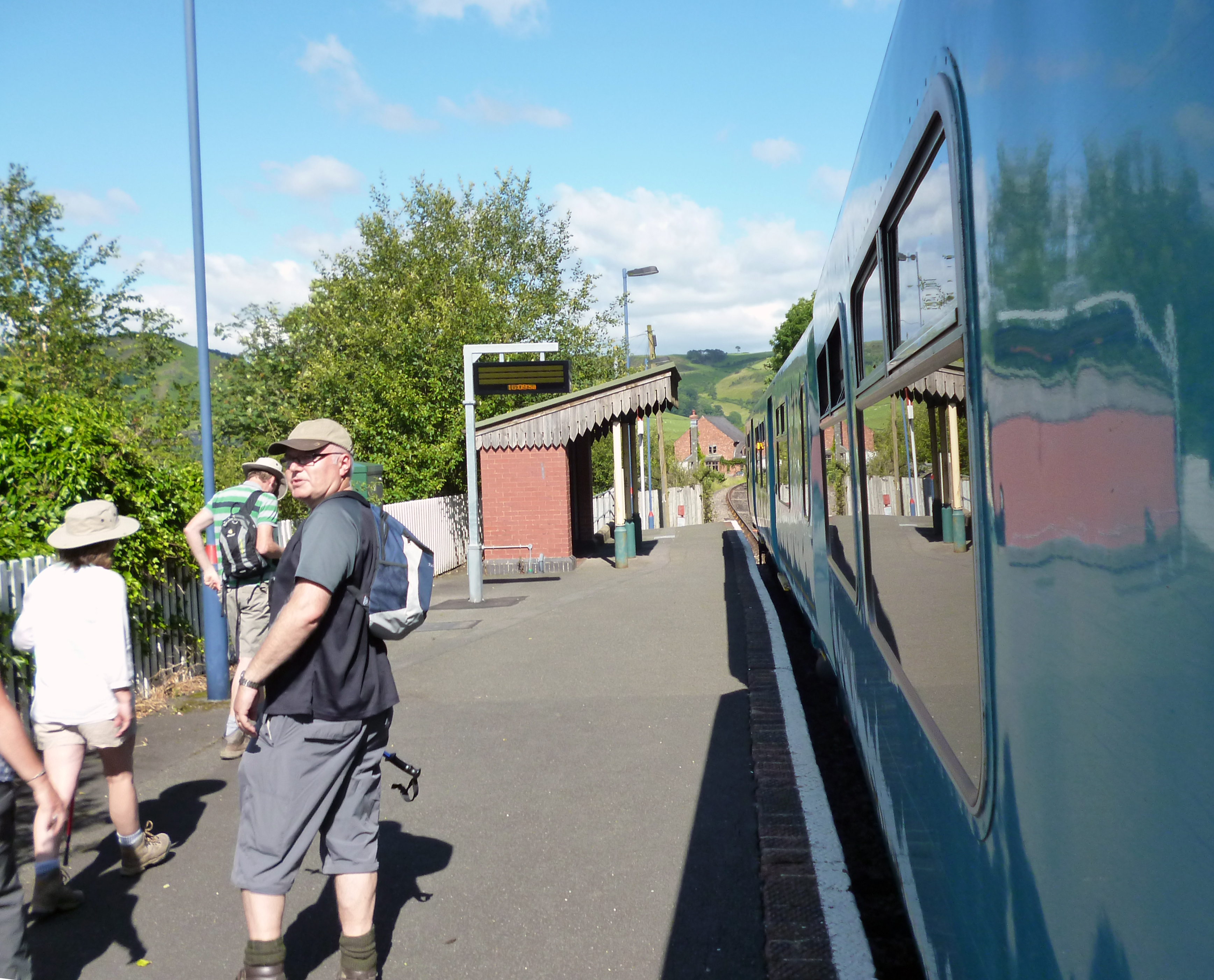
Llangynllo railway station
Llangynllo railway station is a countryside stop in Powys about 5 miles west of Knighton, on the Heart of Wales Line. The station is located 1.4 miles...

Knucklas
Knucklas (Welsh: Cnwclas, meaning "green hillock") is a village in Powys, Wales, previously Radnorshire. It lies in the upper valley of the River Teme...
Knucklas railway station
Knucklas railway station serves the village of Knucklas, Powys, Wales, 34+3⁄4 miles (55.9 km) south west of Shrewsbury. This railway station is located...
Nearby Amenities
Located within 500m of 52.368236,-3.1427194Have you been to Batches Dingle?
Leave your review of Batches Dingle below (or comments, questions and feedback).