Vale of Nightshade
Valley in Lancashire Barrow-in-Furness
England
Vale of Nightshade
Vale of Nightshade is a picturesque valley located in the county of Lancashire, England. Nestled amidst rolling hills and lush greenery, this enchanting valley is renowned for its natural beauty and tranquility. The valley gets its name from the dark shade that engulfs the area during twilight, creating a mysterious ambiance.
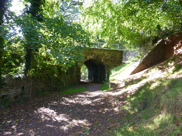
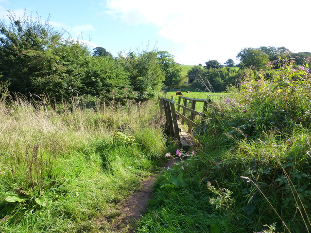
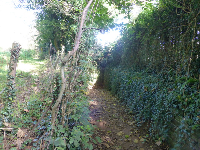
Covering an area of approximately 10 square miles, Vale of Nightshade is home to a diverse range of flora and fauna. Ancient woodlands, wildflower meadows, and babbling brooks add to the valley's charm, making it a haven for nature lovers and outdoor enthusiasts. The valley is also known for its rich biodiversity, with numerous species of birds, butterflies, and small mammals calling it home.
The main village in Vale of Nightshade is a quaint and welcoming community, with traditional stone houses and a historic church at its heart. The village is a hub for local businesses, offering a range of amenities to both residents and visitors. Additionally, there are several walking and cycling trails that wind through the valley, allowing visitors to explore its scenic landscapes and discover hidden gems along the way.
Vale of Nightshade is not only a natural paradise but also steeped in history. The area has evidence of human habitation dating back to the Roman era, with archaeological finds such as pottery fragments and coins. The valley has also been a source of inspiration for artists and writers over the years, with its ethereal beauty captured in various works of art and literature.
Overall, Vale of Nightshade is a captivating destination that offers a perfect blend of natural wonders and historical significance, making it a must-visit for anyone seeking solace in the beauty of Lancashire's countryside.
If you have any feedback on the listing, please let us know in the comments section below.
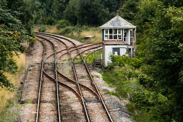
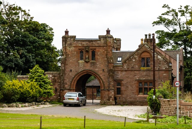
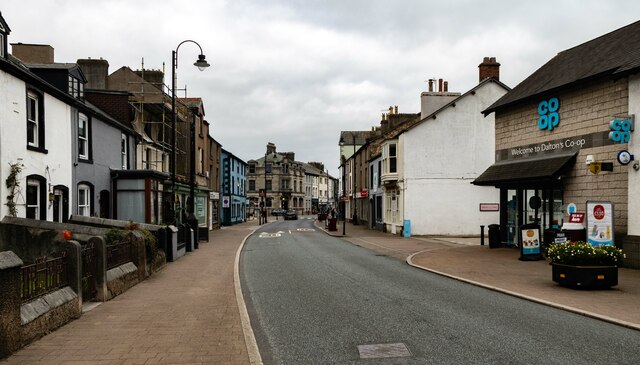
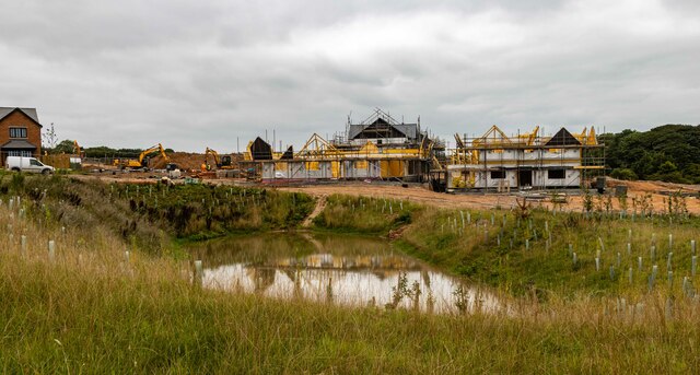
Vale of Nightshade Images
Images are sourced within 2km of 54.140857/-3.1967625 or Grid Reference SD2172. Thanks to Geograph Open Source API. All images are credited.


Vale of Nightshade is located at Grid Ref: SD2172 (Lat: 54.140857, Lng: -3.1967625)
Administrative County: Cumbria
District: Barrow-in-Furness
Police Authority: Cumbria
What 3 Words
///changing.beauty.patrol. Near Dalton in Furness, Cumbria
Nearby Locations
Related Wikis

Abbot's Wood, Cumbria
Abbot's Wood (also Abbotswood) was a large country house and estate located to the north-northeast of Barrow-in-Furness, Cumbria, England. It was sited...

Abbey House, Barrow-in-Furness
Abbey House on Abbey Road, Barrow-in-Furness, Cumbria, England is a Neo-Elizabethan H-plan mansion designed by Sir Edwin Lutyens and completed in 1914...

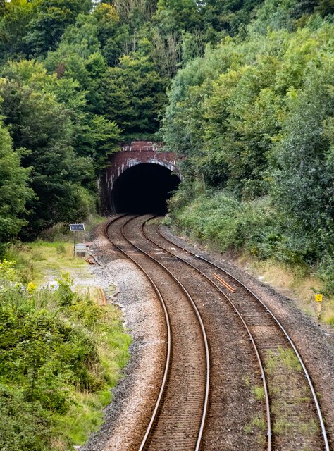
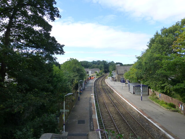
Furness Abbey railway station
Furness Abbey is a former railway station in the Barrow-in-Furness area of the Furness Peninsula, England. == Context == Furness Abbey Station was situated...
Furness Abbey Hotel
The Furness Abbey Hotel was demolished in 1953, having been bombed in May 1941. Its site now forms the car park to Furness Abbey and the museum. The station...

Furness Abbey
Furness Abbey, or St. Mary of Furness, is a former monastery located to the north of Barrow-in-Furness, Cumbria, England. The abbey dates back to 1123...
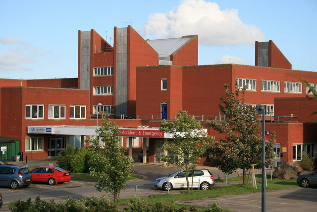
Furness General Hospital
Furness General Hospital (FGH) is a hospital located in the Hawcoat area of Barrow-in-Furness, Cumbria, England. It is managed by the University Hospitals...

Dalton Town with Newton
Dalton Town with Newton is a civil parish in the Barrow-in-Furness district, in the county of Cumbria, England. The parish includes the town of Dalton...
Bow Bridge, Cumbria
Bow Bridge is a late medieval multi-span bridge located near Furness Abbey in Cumbria and built in the 1500s. It is made of local red sandstone stone and...
Nearby Amenities
Located within 500m of 54.140857,-3.1967625Have you been to Vale of Nightshade?
Leave your review of Vale of Nightshade below (or comments, questions and feedback).