Glenrath Hope
Valley in Peeblesshire
Scotland
Glenrath Hope

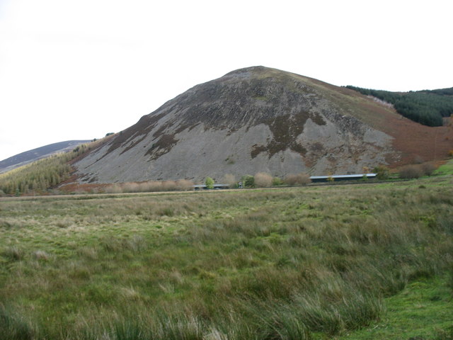
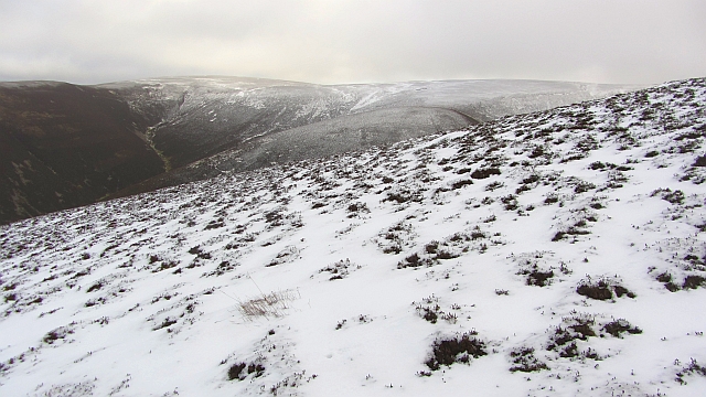
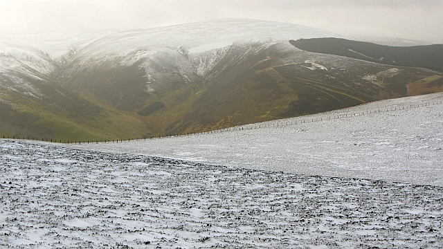
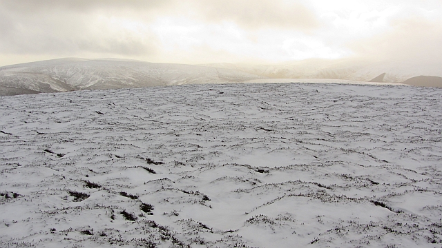
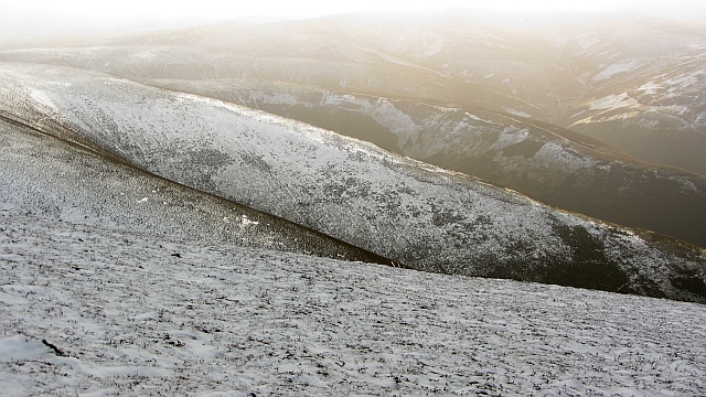
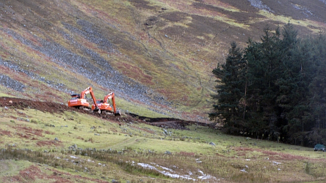
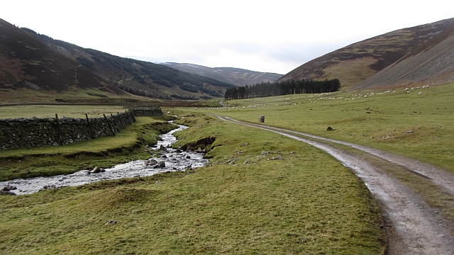
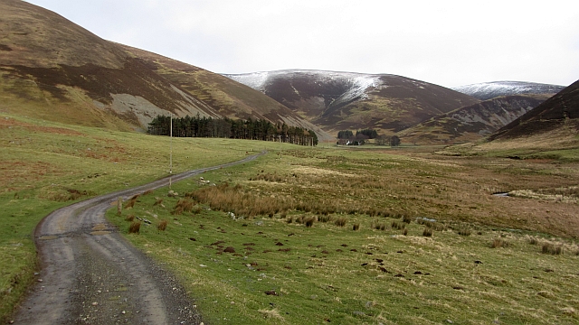
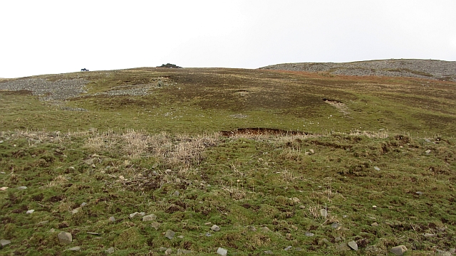
Glenrath Hope is a small valley located in Peeblesshire, a historic county in the Scottish Borders region of Scotland. It is nestled amidst the picturesque hills and offers breathtaking views of the surrounding natural beauty. The valley is renowned for its tranquility and idyllic landscapes, making it a popular destination for nature lovers and outdoor enthusiasts.
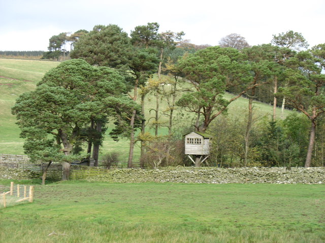
Glenrath Hope boasts rich biodiversity, with a diverse range of flora and fauna. The valley is home to several species of birds, including the iconic golden eagle and red grouse, making it a paradise for birdwatchers. The lush green meadows and woodlands provide a haven for various wild animals, such as red deer and Scottish wildcats.
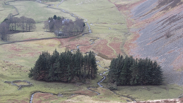
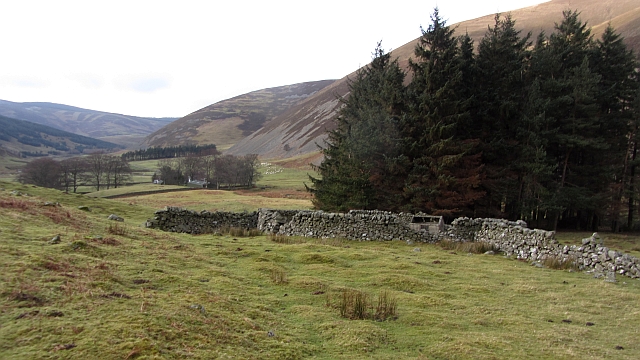
The valley is also known for its agricultural heritage, with rolling farmlands stretching across its expanse. The fertile soil and favorable climate create ideal conditions for livestock farming, particularly sheep rearing. Glenrath Hope is famous for its high-quality lamb and wool production, contributing to the region's agricultural economy.
For visitors seeking outdoor activities, the valley offers ample opportunities for hiking, cycling, and horse riding. There are numerous trails and paths that wind through the valley, providing a chance to explore its scenic beauty up close. The Glenrath Hope reservoir is a popular spot for fishing and boating, attracting anglers and water sports enthusiasts.
In summary, Glenrath Hope is a picturesque valley in Peeblesshire, Scotland, celebrated for its natural beauty, rich wildlife, agricultural heritage, and recreational activities. It is a tranquil haven where visitors can immerse themselves in the serenity of the Scottish countryside.
If you have any feedback on the listing, please let us know in the comments section below.
Glenrath Hope Images
Images are sourced within 2km of 55.581848/-3.2442543 or Grid Reference NT2132. Thanks to Geograph Open Source API. All images are credited.


Glenrath Hope is located at Grid Ref: NT2132 (Lat: 55.581848, Lng: -3.2442543)
Unitary Authority: The Scottish Borders
Police Authority: The Lothians and Scottish Borders
What 3 Words
///woodstove.funky.youths. Near Peebles, Scottish Borders
Nearby Locations
Related Wikis

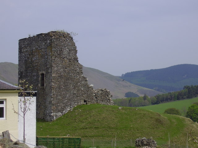
Posso Tower
Posso Tower is a 16th-century tower house, about 6.0 miles (9.7 km) south and west of Peebles, Scottish Borders, Scotland, and west of Manor Water. �...
Castlehill Tower
Castlehill Tower, also known as Castle Hill of Manor, is a ruined oblong tower house dating from the end of the 15th century, situated in the parish of...

Manor Hills
The Manor Hills, also known as the Tweedsmuir Hills, are a range of hills south of Peebles in the Scottish Borders, one of the ranges which collectively...

Dun Rig
Dun Rig is a hill in the Manor Hills range, part of the Southern Uplands of Scotland. It is the highest hill in the northernmost cluster of the Manor Hills...
Nearby Amenities
Located within 500m of 55.581848,-3.2442543Have you been to Glenrath Hope?
Leave your review of Glenrath Hope below (or comments, questions and feedback).