Barrock

Settlement in Caithness

Scotland

Barrock

The scenic road to Dunnet Head Dunnet Head can just be seen in the distance 5 miles distant.
The scenic road to Dunnet Head Credit: Roger Davies

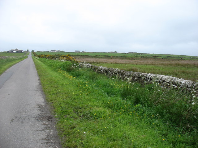
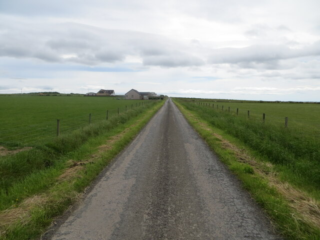
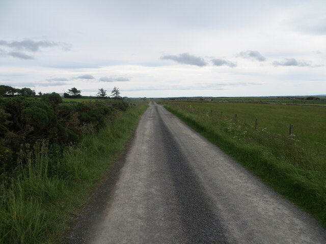
Barrock is a small village located in the county of Caithness, in the northeastern part of Scotland. Situated about 8 miles west of the town of Thurso, Barrock is nestled amidst beautiful rolling countryside and offers a tranquil and picturesque setting.

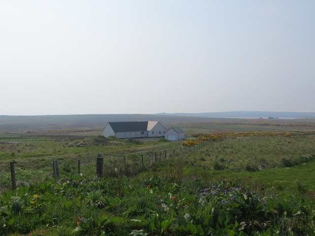
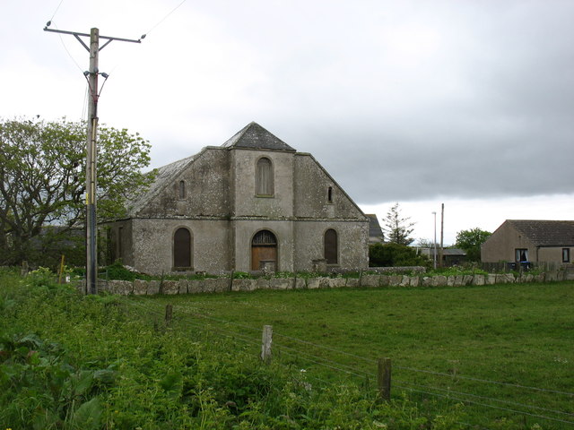
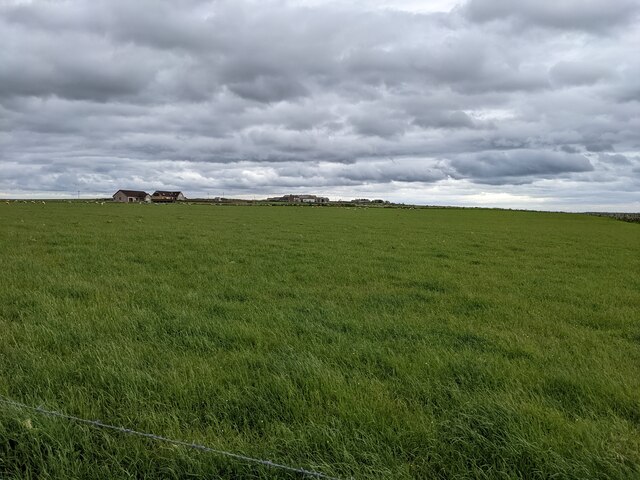
With a population of around 300 residents, Barrock is a close-knit and friendly community. The village is primarily residential, consisting of a mix of traditional stone cottages and modern houses. The local economy is largely based on agriculture and fishing, with some residents also working in nearby towns.

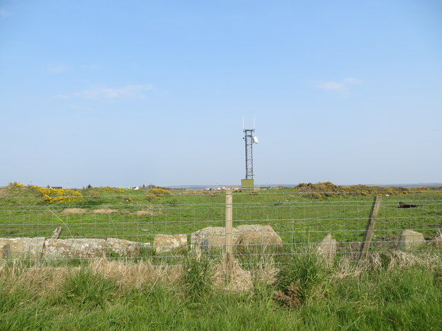
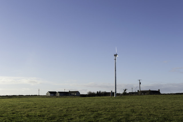
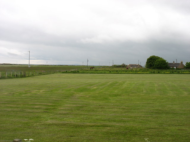
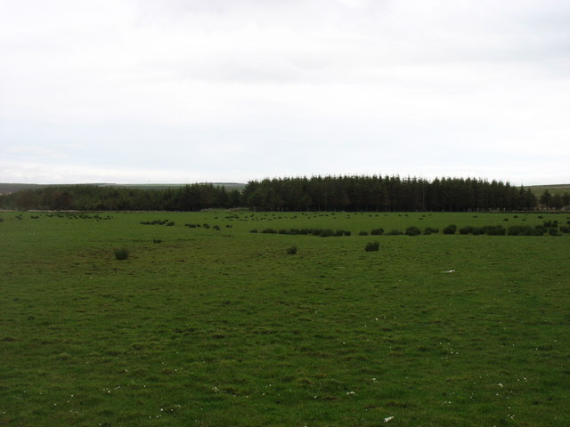
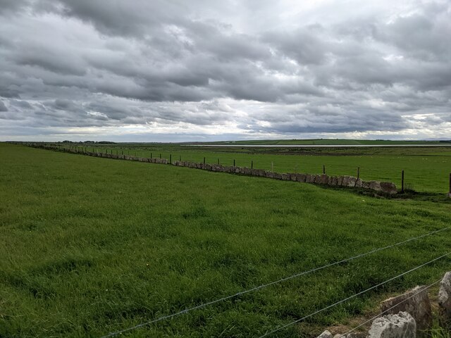
Barrock benefits from its proximity to the stunning Caithness coastline, offering residents and visitors breathtaking views of the North Sea. The village is also surrounded by lush green fields and farmland, making it an ideal location for nature lovers and those seeking a peaceful retreat.

Although small, Barrock has a strong sense of community and boasts a number of amenities. These include a community hall, where various events and gatherings take place, and a local primary school that serves the village and neighboring areas.

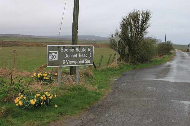
For those looking to explore further afield, Barrock is conveniently located near several notable landmarks. The historic Dounreay Nuclear Power Development Establishment is just a short drive away, as is the picturesque Dunnet Bay, home to stunning sandy beaches and diverse wildlife.

In conclusion, Barrock is a charming village in Caithness that offers a peaceful and idyllic lifestyle amidst beautiful natural surroundings.

If you have any feedback on the listing, please let us know in the comments section below.
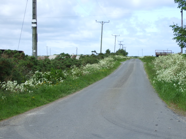
Barrock Images

Images are sourced within 2km of 58.622788/-3.281159 or Grid Reference ND2571. Thanks to Geograph Open Source API. All images are credited.

The scenic road to Dunnet Head Dunnet Head can just be seen in the distance 5 miles distant.
The scenic road to Dunnet Head
Dunnet Head can just be seen in the distance 5 miles distant.
Communications mast near Barrock
New bungalow at the end of the public road
Turbine near Inkstack
Wind Turbine
Wind Turbine
Farmland near Greenvale There is a track on the right, but completely overgrown and no longer used.
Farmland near Greenvale
There is a track on the right, but completely overgrown and no longer used.
Farmland north of Barrock Seemingly not in good condition, but still used, I assume.
Farmland north of Barrock
Seemingly not in good condition, but still used, I assume.
The former church at Barrock The church comprised two rectangular buildings, but with a central façade at the east end (seen here) to make it look more imposing than it really was.
The former church at Barrock
The church comprised two rectangular buildings, but with a central façade at the east end (seen here) to make it look more imposing than it really was.
Instack, near Barrock An area with a few, well-scattered, houses.
Instack, near Barrock
An area with a few, well-scattered, houses.
Barrock Wood, Lucifer Moss A small plantation in a low-lying square.
Barrock Wood, Lucifer Moss
A small plantation in a low-lying square.
Approaching Barrock On the minor road from Gills to Castletown.
Approaching Barrock
On the minor road from Gills to Castletown.
Fence-lined minor road between Inkstack and Hollandmake Looking south-eastward.
Fence-lined minor road between Inkstack and Hollandmake
Looking south-eastward.
Dirt road at Hollandmake Looking south-eastward.
Dirt road at Hollandmake
Looking south-eastward.
Grassy fields near Loch Heilen Note the flagstone walls, a feature of the area, now supplemented by wire fences.
Grassy fields near Loch Heilen
Note the flagstone walls, a feature of the area, now supplemented by wire fences.
A grassy field
A grassy field
Road to Hollandmake From the Barrock road near Inkstack.
Road to Hollandmake
From the Barrock road near Inkstack.
Farm Buildings at Hollandmake
A bend in the A836 A view looking to the southwest along the A836. A walled cemetery can be seen to the left of the road in the middle distance.
A bend in the A836
A view looking to the southwest along the A836. A walled cemetery can be seen to the left of the road in the middle distance.
Show me another place!

Barrock is located at Grid Ref: ND2571 (Lat: 58.622788, Lng: -3.281159)

Unitary Authority: Highland

Police Authority: Highlands and Islands

What 3 Words

///cone.windmill.sampled. Near John o' Groats, Highland

Nearby Locations

Barrock

Related Wikis

Loch of Mey

Loch of Mey is a loch near the north coast of Caithness, Scotland, and one of the most northern water features of mainland Britain. It lies just to the...

Skarfskerry

Skarfskerry (or Scarfskerry; Scottish Gaelic: Sgarbh Sgeir) is a settlement located in the far northern county Caithness on a small peninsula northeast...

Ham, Caithness

Ham is a village in the Caithness region in the Scottish council area of Highland. It has a very short river running from a mill pond to the sea - a total...

Dunnet Forest

Dunnet Forest in Dunnet, Caithness, Scotland, is the most northerly community woodland on the UK mainland, and has been managed since 2003 by Dunnet Forestry...

Nearby Amenities

Located within 500m of 58.622788,-3.281159
Barrock
Place: hamlet
Lat/Long: 58.6235303/-3.2803647
Post Box
Collection Times: Mo-Sa 12:00
Post Box Design: type_n
Post Box Type: lamp
Ref: KW14 19
Royal Cypher: scottish_crown
Lat/Long: 58.6225968/-3.2814548
Bus Stop
Shelter: yes
Lat/Long: 58.6226081/-3.2814039
Power: pole
Lat/Long: 58.6186014/-3.2801766
Power: pole
Lat/Long: 58.6188943/-3.2807634
Power: pole
Lat/Long: 58.6191713/-3.2813177
Power: pole
Lat/Long: 58.6196111/-3.2820324
Power: pole
Lat/Long: 58.62007/-3.2827694
Power: pole
Lat/Long: 58.6205172/-3.2834801
Power: pole
Lat/Long: 58.6209358/-3.2841603
Power: pole
Lat/Long: 58.6215596/-3.2848709
Power: pole
Lat/Long: 58.622233/-3.2856282
Power: pole
Lat/Long: 58.622732/-3.2862292
Power: pole
Lat/Long: 58.6231274/-3.2867084
Power: pole
Lat/Long: 58.621456/-3.2729058
Power: pole
Lat/Long: 58.6217118/-3.2739068
Power: pole
Lat/Long: 58.6223017/-3.2748915
Power: pole
Lat/Long: 58.622936/-3.2759595
Power: pole
Lat/Long: 58.6233293/-3.2766173
Power: pole
Lat/Long: 58.6237099/-3.2772914
Power: pole
Lat/Long: 58.6240238/-3.2777483
Power: pole
Lat/Long: 58.6259425/-3.2750397
Power: pole
Lat/Long: 58.6254161/-3.2758316
Power: pole
Lat/Long: 58.6248368/-3.2767331
Power: pole
Lat/Long: 58.6244488/-3.2772082
Power: pole
Lat/Long: 58.6235228/-3.2785767
Power: pole
Lat/Long: 58.6230587/-3.2796142
Power: pole
Lat/Long: 58.6225555/-3.2806923
Power: pole
Lat/Long: 58.622195/-3.2814943
Power: pole
Lat/Long: 58.6217298/-3.282473
Power: pole
Lat/Long: 58.621363/-3.2832791
Power: pole
Lat/Long: 58.6212773/-3.2819573
Power: pole
Lat/Long: 58.6215818/-3.2814314
Power: pole
Lat/Long: 58.6218905/-3.2809096
Power: pole
Lat/Long: 58.621032/-3.2787777
Power: pole
Lat/Long: 58.6211082/-3.2796629
Man Made: mast
Lat/Long: 58.6193685/-3.2863064
The data included in this document is from www.openstreetmap.org. The data is made available under ODbL.

Have you been to Barrock?

Leave your review of Barrock below (or comments, questions and feedback).