Nether Scar

Valley in Selkirkshire

Scotland

Nether Scar

Summit of Andrewhinney Hill Loch Skeen can be seen in the distance.
Summit of Andrewhinney Hill Credit: Iain Russell

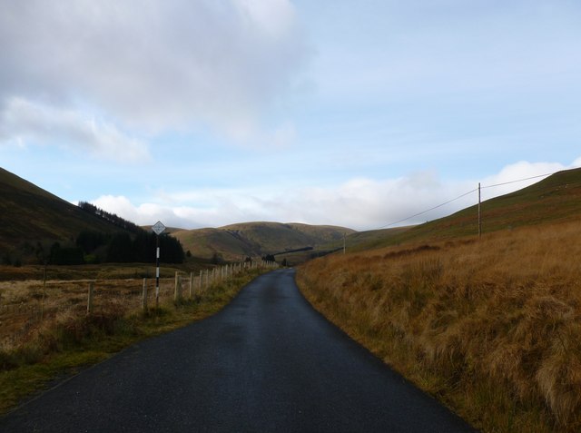
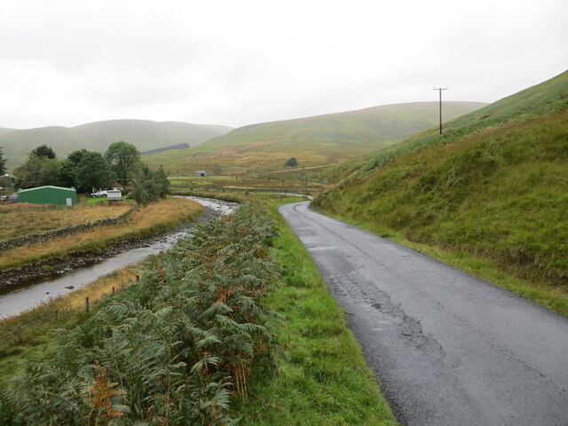
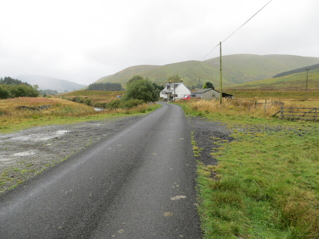
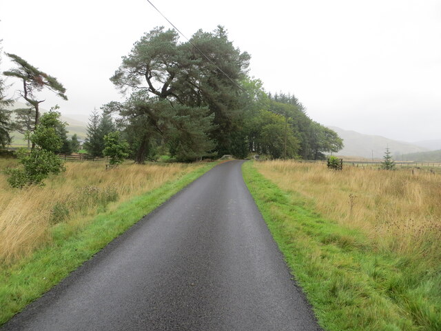
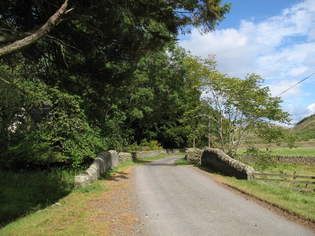
Nether Scar is a picturesque valley located in the historic county of Selkirkshire, Scotland. Nestled amidst the rolling hills and lush countryside, this enchanting valley offers a tranquil escape from the hustle and bustle of city life.

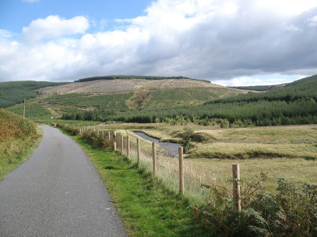
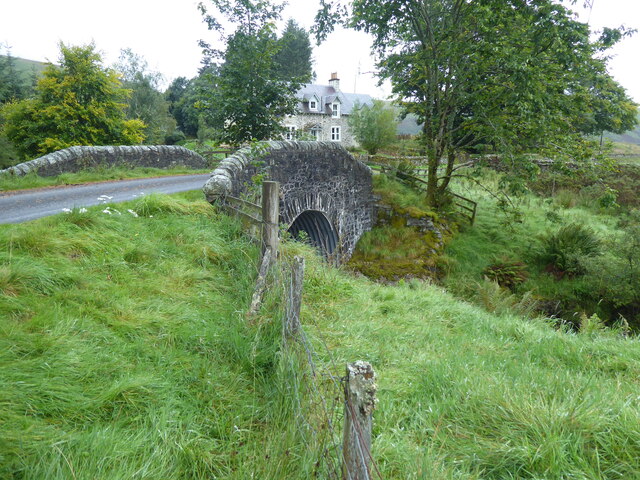
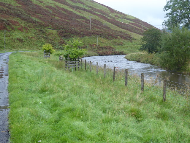
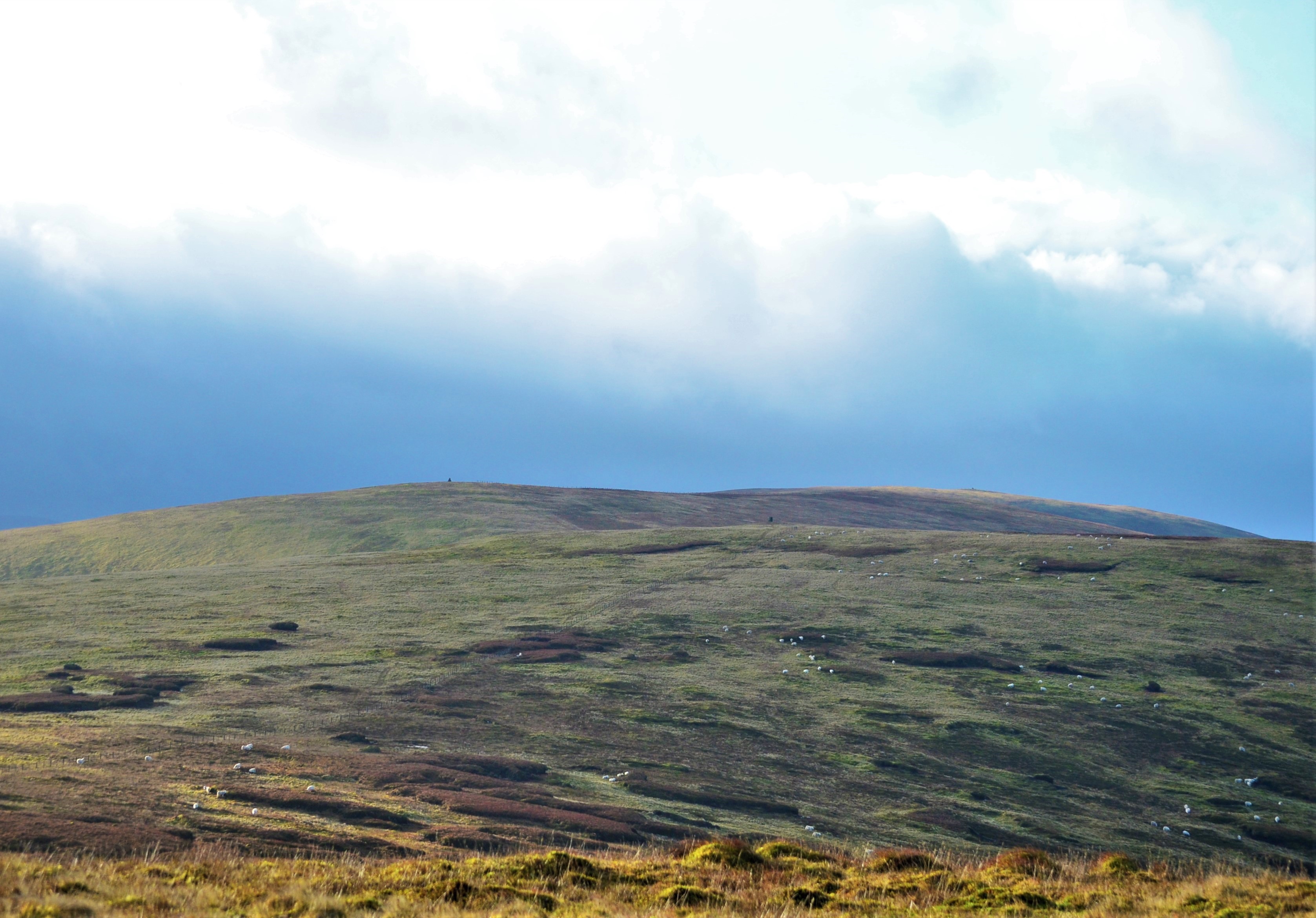
The valley is characterized by its breathtaking natural beauty, with stunning panoramic views that stretch as far as the eye can see. It is formed by the meandering course of the River Ettrick, which winds its way through the valley floor, adding to its charm and allure.

Nether Scar is renowned for its rich biodiversity, with an abundance of flora and fauna thriving in its fertile soil. The valley is home to a variety of plant species, including heather, wildflowers, and ancient oak woodlands. It also serves as a haven for numerous bird species, making it a popular destination for birdwatchers and nature enthusiasts.

The valley is a haven for outdoor enthusiasts, offering a myriad of activities to suit all interests. Hiking and walking trails crisscross the valley, providing opportunities to explore its hidden gems and discover its natural wonders. The river is also a popular spot for fishing, with anglers casting their lines in search of salmon and trout.

Nether Scar is steeped in history and folklore, with several ancient sites and ruins scattered throughout the valley. The remnants of old settlements and castles serve as a reminder of the valley's past, adding an air of mystery and intrigue to the landscape.

Overall, Nether Scar is a place of natural beauty, tranquility, and historical significance, making it a must-visit destination for those seeking a retreat in the heart of Selkirkshire.

If you have any feedback on the listing, please let us know in the comments section below.

Nether Scar Images

Images are sourced within 2km of 55.410831/-3.2460911 or Grid Reference NT2113. Thanks to Geograph Open Source API. All images are credited.

Summit of Andrewhinney Hill Loch Skeen can be seen in the distance.
Summit of Andrewhinney Hill
Loch Skeen can be seen in the distance.
Trowgrain Middle This was viewed on the northwest side of the hill on a beautiful February day.
Trowgrain Middle
This was viewed on the northwest side of the hill on a beautiful February day.
A cairn at Mid Rig This cairn is near the 540m contour. White Coomb is in the background.
A cairn at Mid Rig
This cairn is near the 540m contour. White Coomb is in the background.
Single track road, Ettrickdale Complete with some very old looking passing place signs.  Ferny Hill in the background.
Single track road, Ettrickdale
Complete with some very old looking passing place signs. Ferny Hill in the background.
Trowgrain Middle Summit Plus View Towards Cairn Parked near Capplegill then used track to Bodesbeck Farm. Track towards col then Bodesbeck Law, Nowtrig Head, Mid Rig, Bell Craig, Andrewhinney Hill, Trowgrain Middle and Herman's Law before Chris Watson went to collect the car while I pressed on with Minto to bag TuMPs Peniestone Knowe and Peat Hill.
Name: Andrewhinney Hill - Trowgrain Middle
Hill number: 1900
Height: 628m / 2060ft
Area: 28B: The River Tweed to the English Border
Class: DT,sGT
Grid ref: NT206150 (est)
Drop: 21m
Col: 607m  NT206147
Trowgrain Middle Summit Plus View Towards Cairn
Parked near Capplegill then used track to Bodesbeck Farm. Track towards col then Bodesbeck Law, Nowtrig Head, Mid Rig, Bell Craig, Andrewhinney Hill, Trowgrain Middle and Herman's Law before Chris Watson went to collect the car while I pressed on with Minto to bag TuMPs Peniestone Knowe and Peat Hill. Name: Andrewhinney Hill - Trowgrain Middle Hill number: 1900 Height: 628m / 2060ft Area: 28B: The River Tweed to the English Border Class: DT,sGT Grid ref: NT206150 (est) Drop: 21m Col: 607m NT206147
Trowgrain Middle Cairn Trowgrain Middle cairn which like a lot of cairns around here is not on the highest point of this minor hill.
Trowgrain Middle Cairn
Trowgrain Middle cairn which like a lot of cairns around here is not on the highest point of this minor hill.
Boggy pool on Mid Rig Looking over towards the cloud-capped hills around Loch Skeen.
Boggy pool on Mid Rig
Looking over towards the cloud-capped hills around Loch Skeen.
Mid Rig Typical Southern Uplands moorland plateau with fenceline and quad bike track.
Mid Rig
Typical Southern Uplands moorland plateau with fenceline and quad bike track.
View towards Ettrick from Mid Rig One of various well-built cairns on this group of hills.
View towards Ettrick from Mid Rig
One of various well-built cairns on this group of hills.
Peat hags on Herman Law An area of lumpy ground just south of the summit, but it's fairly easy to negotiate a way through.
Peat hags on Herman Law
An area of lumpy ground just south of the summit, but it's fairly easy to negotiate a way through.
Minor road beside Ettrick Water at Shorthope Looking westward.
Minor road beside Ettrick Water at Shorthope
Looking westward.
Minor road approaching Crook Cottage Looking south-westward.
Minor road approaching Crook Cottage
Looking south-westward.
Minor road and bridge near Over Kirkhope Looking north-eastward. At this point Kirkhope Burn flows beneath the road.
Minor road and bridge near Over Kirkhope
Looking north-eastward. At this point Kirkhope Burn flows beneath the road.
Bridge over Kirkhope Burn On The Southern Upland Way, the bridge is at Over Kirkhope on the minor road from Ettrick to the head of the Ettrick Valley.
Bridge over Kirkhope Burn
On The Southern Upland Way, the bridge is at Over Kirkhope on the minor road from Ettrick to the head of the Ettrick Valley.
Ettrick Valley near Shorthope The Ettrick Water is a tributary of the River Tweed.  Hope Head is in the background.
The Southern Upland Way follows the road.
Ettrick Valley near Shorthope
The Ettrick Water is a tributary of the River Tweed. Hope Head is in the background. The Southern Upland Way follows the road.
Trowgrain Middle - Cairn From the summit of Trowgrain Middle, a Donlad subsidiary top above the Ettrick Valley, is a fine view across to White Coomb, the 3rd highest Corbett, or 4th highest Donald! in the southern uplands.
Trowgrain Middle - Cairn
From the summit of Trowgrain Middle, a Donlad subsidiary top above the Ettrick Valley, is a fine view across to White Coomb, the 3rd highest Corbett, or 4th highest Donald! in the southern uplands.
The Southern Upland Way near Over Kirkthorpe
The Southern Upland Way near Shorthope
Show me another place!

Nether Scar is located at Grid Ref: NT2113 (Lat: 55.410831, Lng: -3.2460911)

Unitary Authority: The Scottish Borders

Police Authority: The Lothians and Scottish Borders

What 3 Words

///besotted.rugs.mows. Near Ettrick, Scottish Borders

Nearby Locations

Nether Scar Over Scar

Related Wikis

Andrewhinney Hill

Andrewhinney Hill is a hill in the Ettrick Hills range, part of the Southern Uplands of Scotland. It is the highest summit of a ridge that runs parallel...

Southern Uplands

The Southern Uplands (Scottish Gaelic: Na Monaidhean a Deas) are the southernmost and least populous of mainland Scotland's three major geographic areas...

Dob's Linn

Dob's Linn is a small steep valley in Dumfries and Galloway, just north of the A708 road between Moffat and Selkirk, in Scotland. It is part of the Grey...

Grey Mare's Tail, Moffat Hills

Grey Mare's Tail is a 60-metre (200 ft) hanging valley waterfall near to Moffat in southern Scotland. The fall is produced by the Tail Burn flowing from...

Have you been to Nether Scar?

Leave your review of Nether Scar below (or comments, questions and feedback).