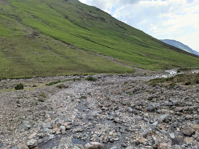
Central Gully
Valley in Cumberland Copeland
England
Central Gully

Central Gully, Cumberland Valley, is a prominent geological feature located in the Cumberland Valley region of Pennsylvania, United States. This gully is situated near the town of Cumberland and stretches for approximately 1.5 miles in length. It is known for its unique formation and picturesque surroundings.
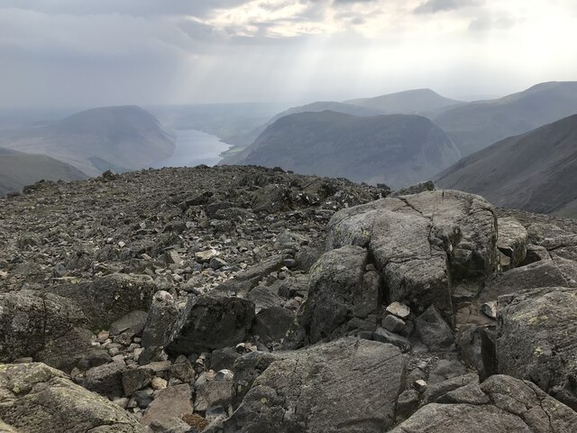
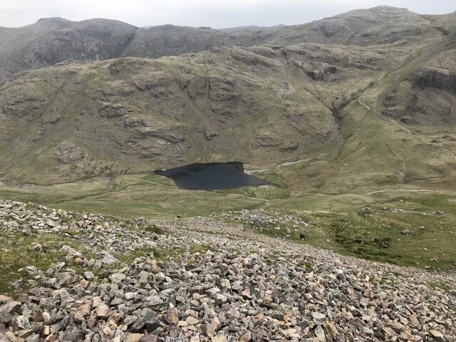
Central Gully was carved out thousands of years ago during the last ice age by the melting of glaciers. As the glaciers receded, the rushing waters eroded the soft sandstone and shale rocks, creating a deep and narrow gully. The gully has steep sides that rise up to 100 feet in some places, providing an impressive spectacle for visitors and nature enthusiasts.
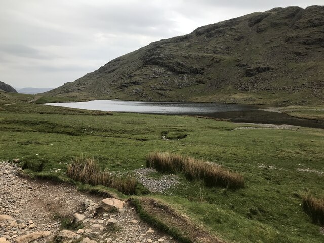
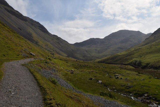
The gully is densely covered with vegetation, including various trees and shrubs, which flourish due to the abundant moisture and shade. The gully floor is often damp and muddy, as a small stream flows through it, adding to the charm of the area.
Central Gully offers several recreational opportunities for visitors. Hiking along the gully's rim provides breathtaking views of the surrounding landscape and the opportunity to observe local wildlife. The gully's unique geological features also make it a popular spot for geologists and researchers, who study the rock formations and the process of erosion.
Efforts have been made to preserve and protect Central Gully, with designated trails and signage to guide visitors while minimizing impact on the fragile ecosystem. The gully remains a significant natural landmark in the Cumberland Valley, attracting tourists and locals alike who seek to appreciate its geological and ecological wonders.
If you have any feedback on the listing, please let us know in the comments section below.
Central Gully Images
Images are sourced within 2km of 54.483678/-3.2193192 or Grid Reference NY2110. Thanks to Geograph Open Source API. All images are credited.


Central Gully is located at Grid Ref: NY2110 (Lat: 54.483678, Lng: -3.2193192)
Administrative County: Cumbria
District: Copeland
Police Authority: Cumbria
What 3 Words
///subsystem.exact.craziest. Near Keswick, Cumbria
Nearby Locations
Related Wikis
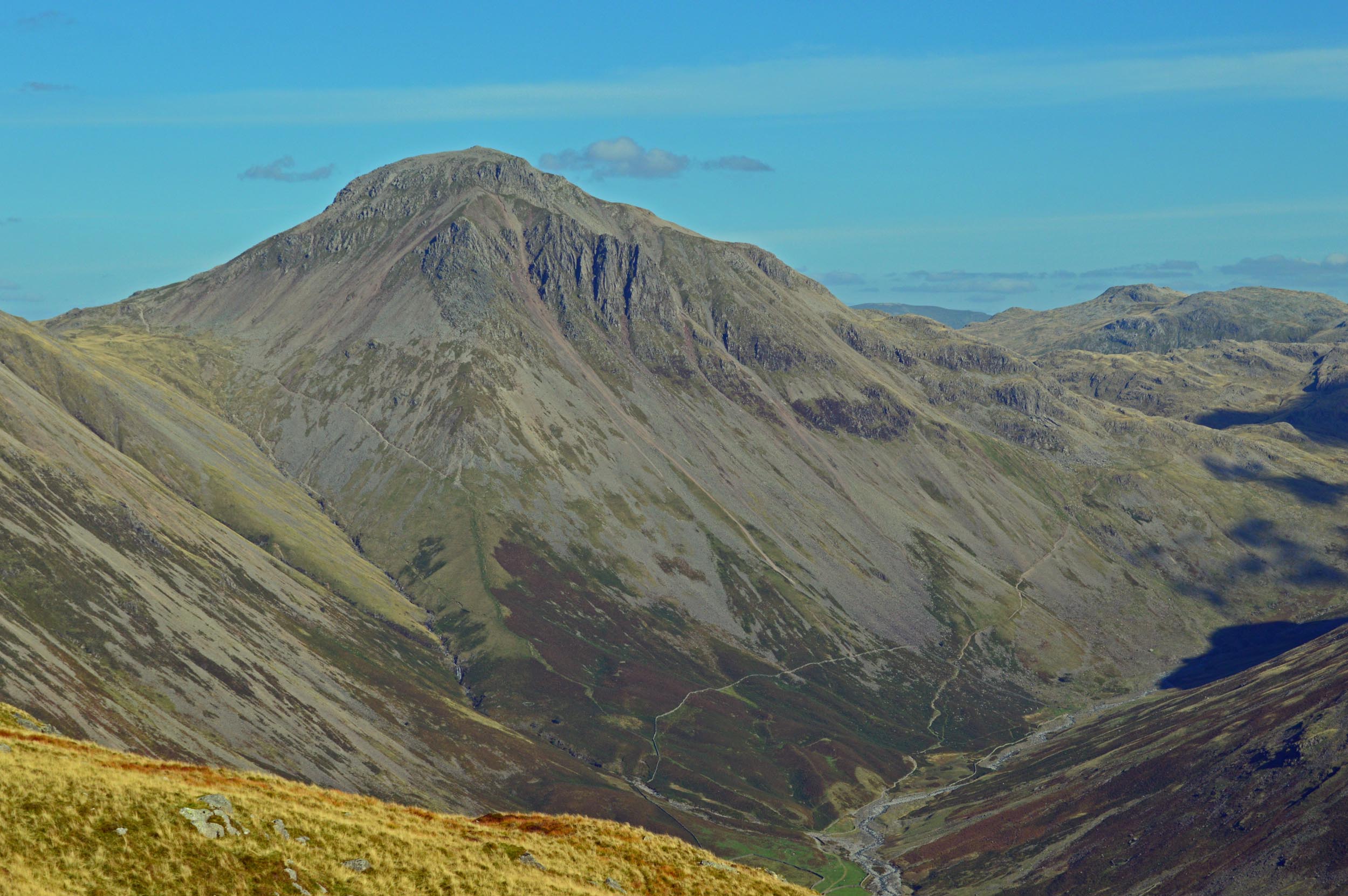
Great Gable
Great Gable is a mountain in the Lake District, United Kingdom. It is named after its appearance as a pyramid from Wasdale, though it is dome-shaped from...

Green Gable
Green Gable is a fell in the English Lake District often traversed by walkers en route to its more famous neighbour Great Gable. It can be ascended from...
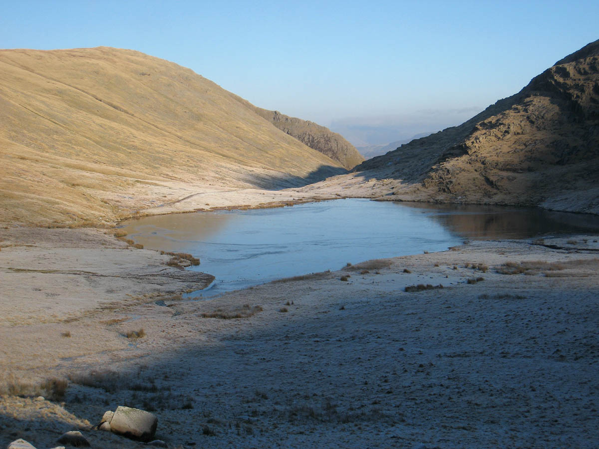
Styhead Tarn
Styhead Tarn is a tarn in the English Lake District, near the top of the Sty Head pass at the head of Borrowdale. It is on the route from Wasdale to Borrowdale...

Brandreth
Brandreth is a fell in the English Lake District. It stands between Great Gable and Haystacks in the Western Fells. == Topography == The Western Fells...

Kirk Fell
Kirk Fell is a fell in the Western part of the English Lake District. It is situated between Great Gable and Pillar on the long ring of fells surrounding...

Base Brown
Base Brown is a fell in England's Lake District, near the head of the Borrowdale Valley. It forms one side of the Seathwaite Valley, and on the western...

Sty Head
Sty Head is a mountain pass in the English Lake District, in the county of Cumbria. It is at an altitude of 1,600 feet (488 m) and there is a small tarn...

Seathwaite Fell
Seathwaite Fell is an area of the Lake District in Cumbria, England. It stands above the hamlet of the same name at the head of Borrowdale. == Position... ==
Nearby Amenities
Located within 500m of 54.483678,-3.2193192Have you been to Central Gully?
Leave your review of Central Gully below (or comments, questions and feedback).