Vale of Taunton Deane
Valley in Somerset Somerset West and Taunton
England
Vale of Taunton Deane

The Vale of Taunton Deane is a picturesque valley located in Somerset, England. It stretches for approximately 25 miles and is nestled between the Quantock Hills to the west and the Blackdown Hills to the east. The valley is named after the town of Taunton, which sits at its heart and is the largest settlement in the area.
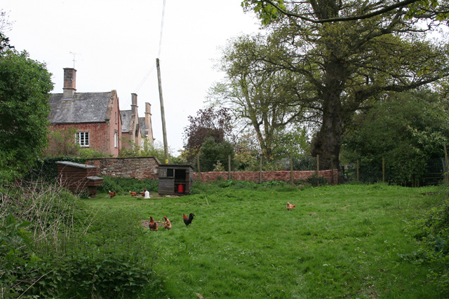
The Vale of Taunton Deane is characterized by its lush green landscape, dotted with charming villages and rolling hills. The River Tone meanders through the valley, providing a scenic backdrop and creating a fertile environment for agriculture. The valley is renowned for its fertile soils, making it a prime location for farming and horticulture.
The area offers a diverse range of wildlife, with numerous nature reserves and conservation areas. Visitors may spot a variety of bird species, including herons, kingfishers, and warblers, along with mammals such as badgers and deer.
The Vale of Taunton Deane is also steeped in history, with archaeological evidence suggesting human habitation in the area dating back thousands of years. There are several historic sites and landmarks to explore, including Hestercombe Gardens, a stunning landscape garden with a rich history, and the medieval Taunton Castle.
In addition to its natural beauty and historical significance, the Vale of Taunton Deane offers a range of recreational activities. The valley is crisscrossed by footpaths and bridleways, providing ample opportunities for walking, cycling, and horse riding. The nearby Quantock and Blackdown Hills offer further outdoor pursuits, including hiking, mountain biking, and nature trails.
Overall, the Vale of Taunton Deane is a captivating destination that combines natural beauty, historical charm, and recreational opportunities, making it a delightful place to visit for both locals and tourists alike.
If you have any feedback on the listing, please let us know in the comments section below.
Vale of Taunton Deane Images
Images are sourced within 2km of 51.030289/-3.1896835 or Grid Reference ST1626. Thanks to Geograph Open Source API. All images are credited.


Vale of Taunton Deane is located at Grid Ref: ST1626 (Lat: 51.030289, Lng: -3.1896835)
Administrative County: Somerset
District: Somerset West and Taunton
Police Authority: Avon and Somerset
What 3 Words
///dunk.automatic.text. Near Bishops Lydeard, Somerset
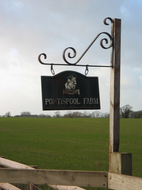
Nearby Locations
Related Wikis

Church of St John the Baptist, Heathfield
The Church of St John the Baptist in Heathfield, Somerset, England was built in the 13th century, from which the tower remains. It is a Grade II listed...
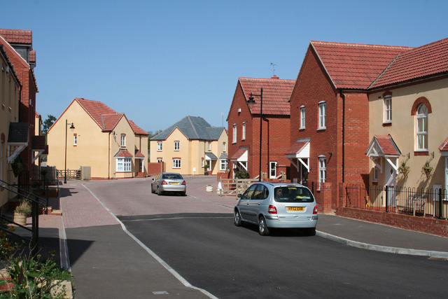
Cotford St Luke
Cotford St Luke () is a village and civil parish in Somerset, England. It is located approximately 2 miles (3.2 km) northwest of Norton Fitzwarren and...

Tone Vale Hospital
Tone Vale Hospital was a psychiatric hospital located approximately 3 kilometres (1.9 mi) to the north west of Norton Fitzwarren, near Taunton, Somerset...
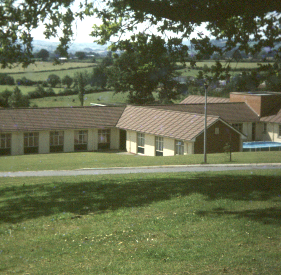
Merrifield Children's Unit
Merrifield Children's Unit (also known as Merryfield or colloquially as Merrifields) was a residential children's and adolescents' psychiatric institution...
Nearby Amenities
Located within 500m of 51.030289,-3.1896835Have you been to Vale of Taunton Deane?
Leave your review of Vale of Taunton Deane below (or comments, questions and feedback).