Pandy Dingle
Valley in Montgomeryshire
Wales
Pandy Dingle
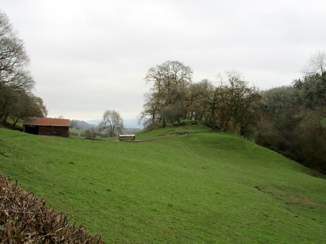
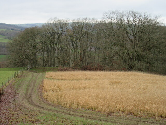
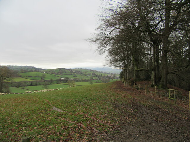
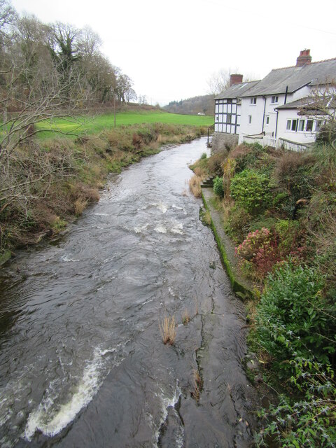
Pandy Dingle is a small village located in the Montgomeryshire Valley in Wales. Situated amidst picturesque rolling hills and lush green countryside, Pandy Dingle is known for its stunning natural beauty and tranquil surroundings.
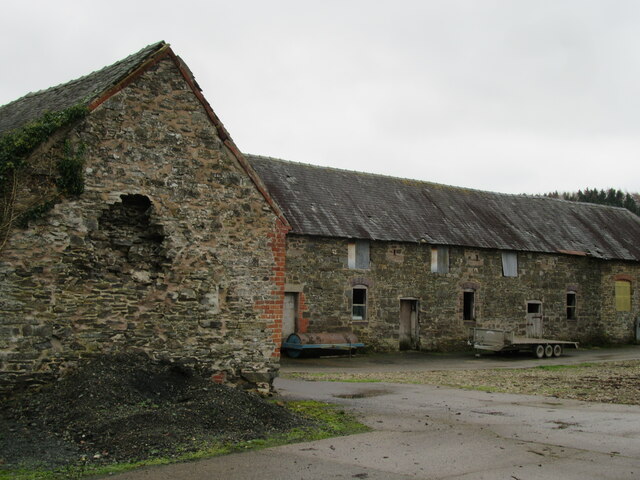
The village is home to a close-knit community of residents who take pride in their rural way of life. The architecture in Pandy Dingle is traditional and charming, with many historic stone cottages and farmhouses dotting the landscape.
The surrounding area offers plenty of opportunities for outdoor activities such as hiking, cycling, and birdwatching. The Montgomeryshire Valley is also known for its rich biodiversity, with many rare plant and animal species calling the area home.
Pandy Dingle is a peaceful retreat away from the hustle and bustle of city life, making it a popular destination for those looking to escape the stresses of modern living. Whether you're seeking a quiet weekend getaway or a longer stay in the countryside, Pandy Dingle offers a true taste of rural Wales.
If you have any feedback on the listing, please let us know in the comments section below.
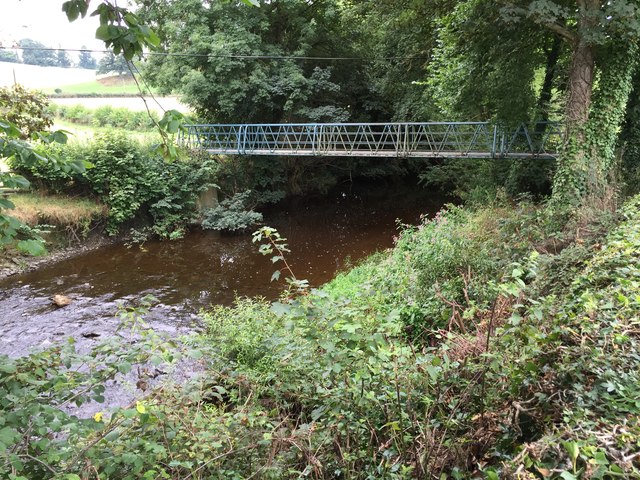
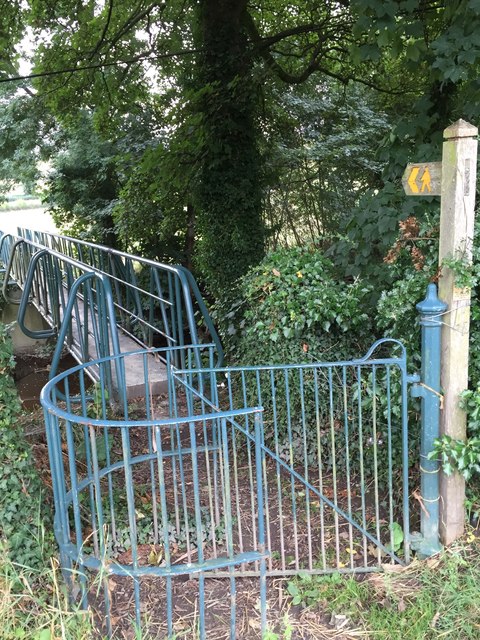
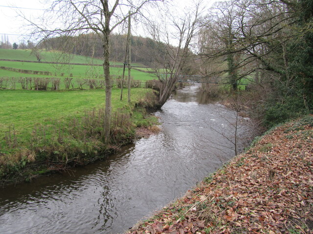
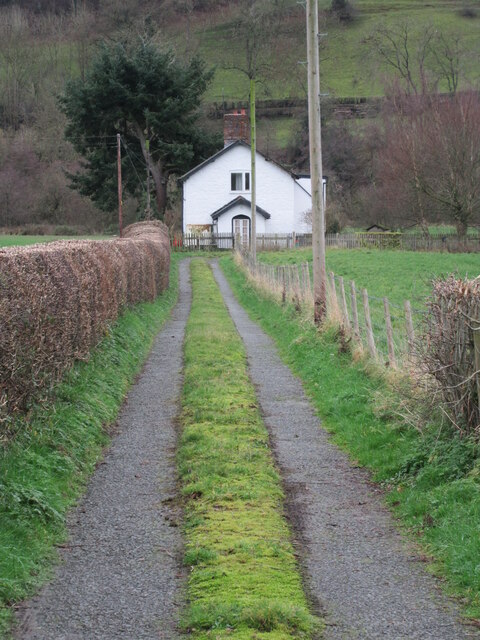
Pandy Dingle Images
Images are sourced within 2km of 52.59913/-3.2321857 or Grid Reference SJ1600. Thanks to Geograph Open Source API. All images are credited.


Pandy Dingle is located at Grid Ref: SJ1600 (Lat: 52.59913, Lng: -3.2321857)
Unitary Authority: Powys
Police Authority: Dyfed Powys
What 3 Words
///compiled.shrub.recent. Near Llanfair Caereinion, Powys
Nearby Locations
Related Wikis

Vaynor Park
Vaynor Park is a country house in a landscaped park, standing on high ground to the south-west of Berriew village, in the historic county of Montgomeryshire...

Berriew
Berriew (Welsh: Aberriw) is a village and community in Montgomeryshire, Powys, Wales. It is on the Montgomeryshire Canal and the Afon Rhiw, near the confluence...

St Beuno's Church, Berriew
St Beuno’s Church is the parish church of Berriew, in the historic county of Montgomeryshire, now Powys. The church stands in an almost oval churchyard...
Berriew F.C.
Berriew Football Club is a Welsh football team based in Berriew. They played in the Ardal Leagues North East, which is in the third level of the Welsh...
Nearby Amenities
Located within 500m of 52.59913,-3.2321857Have you been to Pandy Dingle?
Leave your review of Pandy Dingle below (or comments, questions and feedback).