Lincombe
Valley in Devon East Devon
England
Lincombe

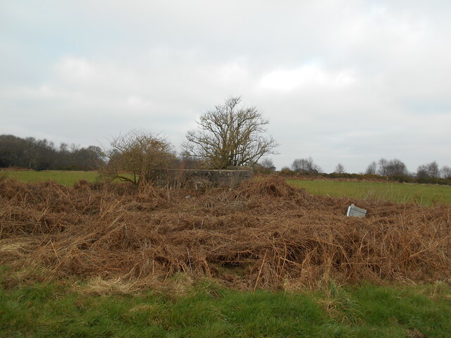
Lincombe, Devon is a beautiful valley located in the southern part of England, specifically in the county of Devon. It is nestled between the towns of Torquay and Paignton, and is known for its stunning natural beauty and idyllic surroundings.
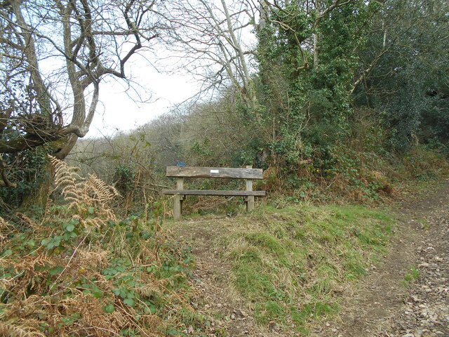
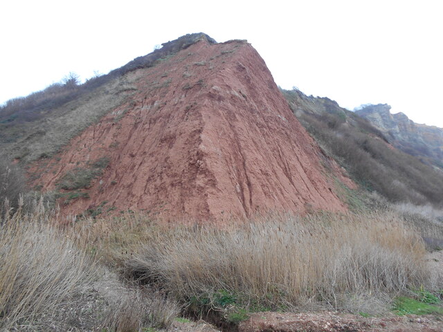
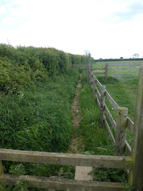
The valley of Lincombe is characterized by its lush greenery, rolling hills, and picturesque countryside. It offers a peaceful and serene environment, making it a popular destination for nature lovers and outdoor enthusiasts. The valley is home to a variety of flora and fauna, with numerous walking trails and paths that allow visitors to explore its scenic landscapes.
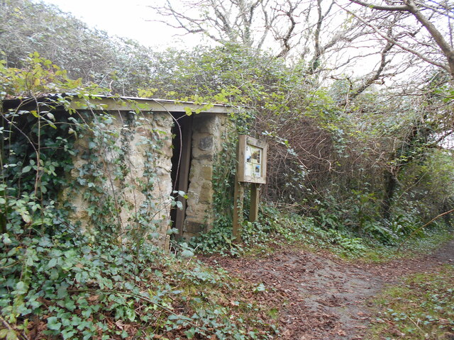
In addition to its natural attractions, Lincombe also boasts a rich history and heritage. The valley is dotted with charming old buildings and traditional cottages, providing a glimpse into the region's past. There are also several historic landmarks in the area, such as Lincombe Manor, a beautiful 19th-century mansion that has been converted into a hotel.
Lincombe is well-connected and easily accessible, with good transport links to nearby towns and cities. It offers a range of amenities and facilities for visitors, including accommodation options, restaurants, and shops. The valley is also a popular spot for various recreational activities, such as hiking, cycling, and birdwatching.
Overall, Lincombe, Devon is a hidden gem that offers a perfect blend of natural beauty, tranquility, and historical charm. Whether you are seeking a peaceful retreat or an opportunity to connect with nature, this valley is sure to leave a lasting impression.
If you have any feedback on the listing, please let us know in the comments section below.
Lincombe Images
Images are sourced within 2km of 50.686479/-3.1945545 or Grid Reference SY1588. Thanks to Geograph Open Source API. All images are credited.


Lincombe is located at Grid Ref: SY1588 (Lat: 50.686479, Lng: -3.1945545)
Administrative County: Devon
District: East Devon
Police Authority: Devon and Cornwall
What 3 Words
///wedge.goat.midfield. Near Sidmouth, Devon
Nearby Locations
Related Wikis
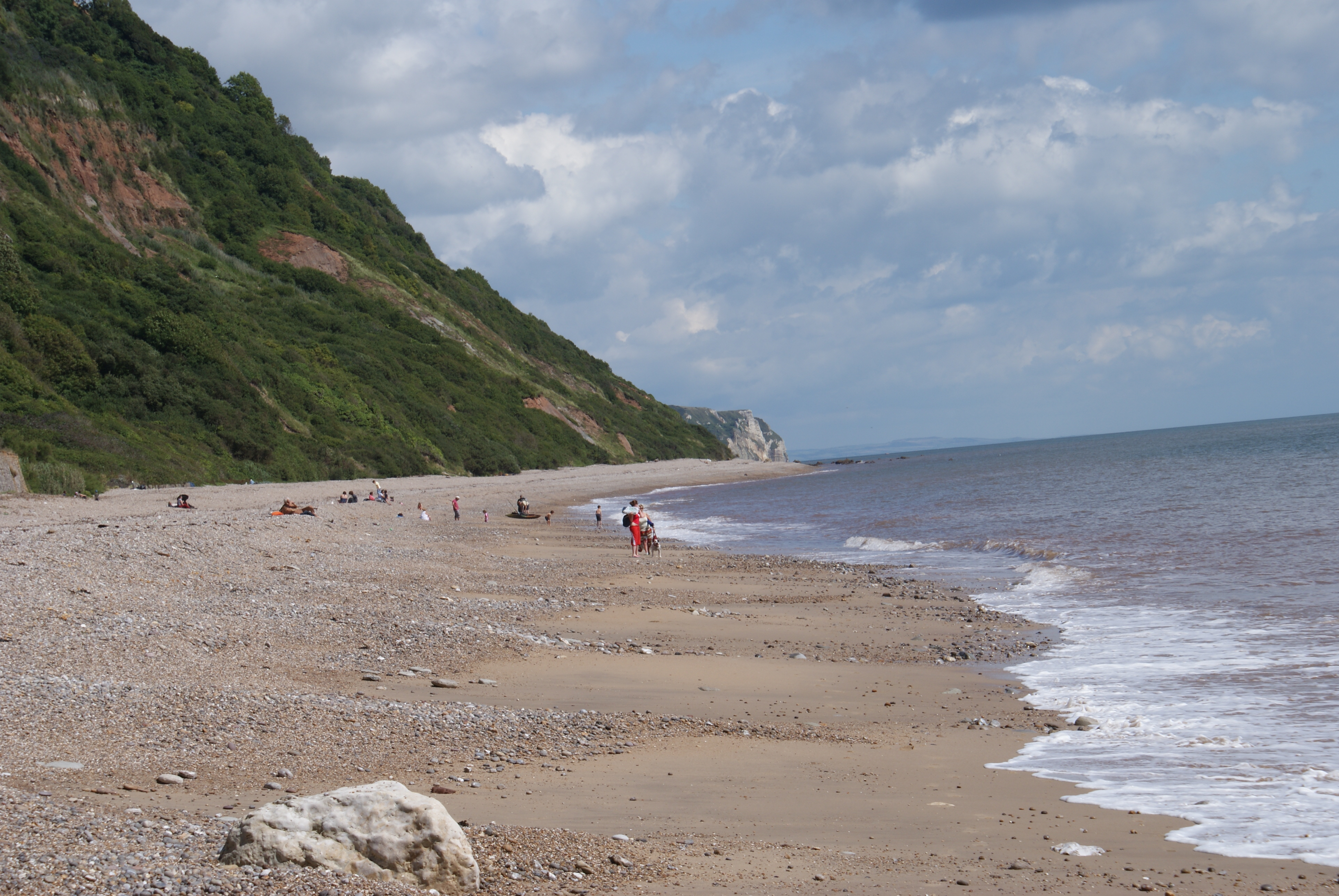
Weston Mouth
Weston Mouth is an isolated beach on the East Devon coast between Sidmouth and Seaton in England. It can be reached only by footpath, either along the...

Salcombe Regis
Salcombe Regis is a coastal village and former civil parish, now in the parish of Sidmouth, in the East Devon district, in the county of Devon, England...

The Donkey Sanctuary
The Donkey Sanctuary is a British charitable organisation devoted to the welfare of donkeys. The charity, which is based near Sidmouth in Devon, England...
Weston, Devon
Weston is a small hamlet near Sidmouth in East Devon, England. It is near the Donkey Sanctuary and less than a mile from the beach at Branscombe; footpaths...

Norman Lockyer Observatory
The Norman Lockyer Observatory, the Lockyer Technology Centre, and the Planetarium (jointly NLO), is a public access optical observatory 1 mile (1.6 km...

River Sid
The River Sid, situated in East Devon, is often claimed to be the shortest complete river in England. It flows for 6.5 miles (10.5 km) southwards from...
Sidmouth Folk Festival
There has been a folk festival in the coastal town of Sidmouth in South West England in the first week of August every year since 1955, attracting tens...

Street, Devon
Street is a small village in the East Devon district of Devon, England. Its nearest town is Sidmouth, which lies approximately 4 miles (6.4 km) south-west...
Nearby Amenities
Located within 500m of 50.686479,-3.1945545Have you been to Lincombe?
Leave your review of Lincombe below (or comments, questions and feedback).