Callands Dene

Valley in Peeblesshire

Scotland

Callands Dene

Stripwood, Callands View from the path to the Henderland Hill hillfort.
Stripwood, Callands Credit: Richard Webb

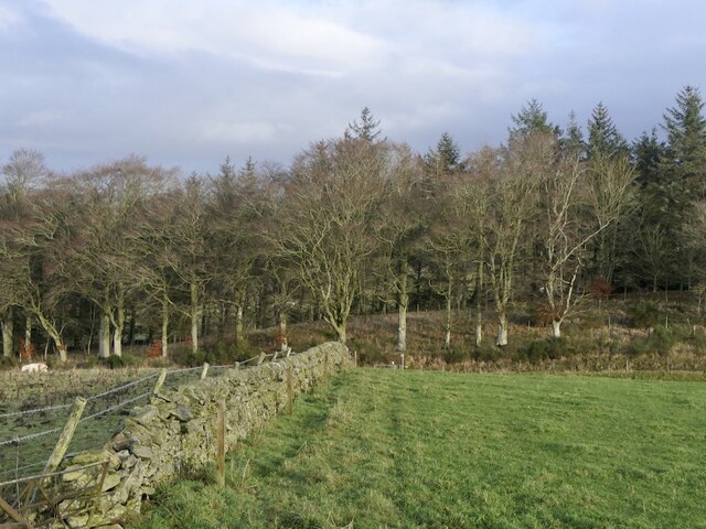
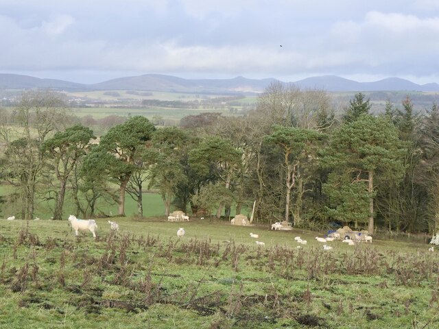
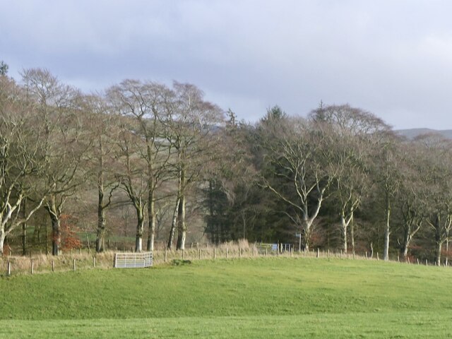
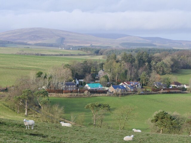
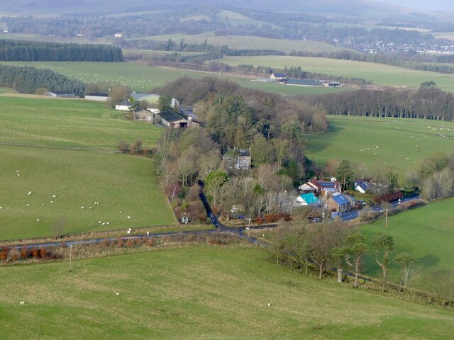
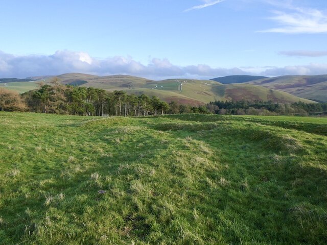
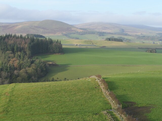
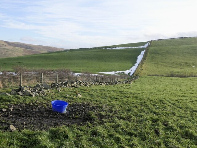
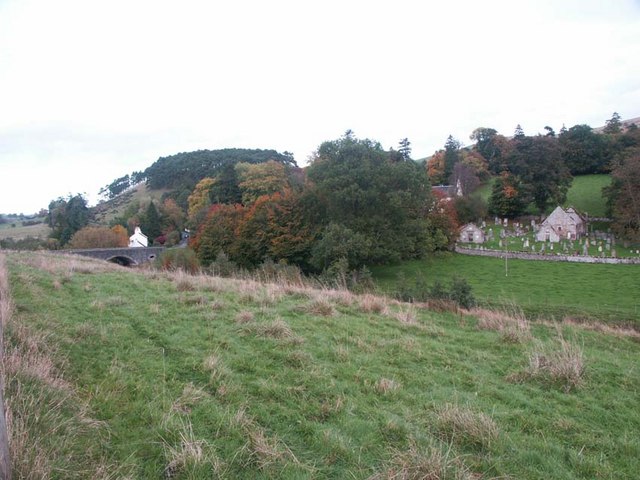
Callands Dene is a picturesque valley located in Peeblesshire, Scotland. Nestled amidst the rolling hills and lush greenery, it is a haven of natural beauty and tranquility. The valley stretches for approximately 2 miles and is a popular destination for nature enthusiasts and hikers.

The main feature of Callands Dene is the meandering river that flows through it, adding to the charm and serenity of the place. The river is known for its crystal-clear waters, making it a perfect spot for fishing and other water activities. The surrounding woodlands are home to a diverse range of flora and fauna, including oak, birch, and pine trees, as well as various species of birds and small mammals.

The valley offers several walking trails and paths that allow visitors to explore its stunning landscapes and enjoy breathtaking views of the surrounding hills. The trails cater to different levels of difficulty, making it accessible for people of all ages and fitness levels.

Callands Dene is also steeped in history, with various archaeological sites scattered throughout the valley. These sites provide insights into the ancient settlements that once thrived in the area, adding an element of intrigue and fascination for history buffs.

For those seeking a peaceful retreat away from the hustle and bustle of city life, Callands Dene is a perfect destination. Its natural beauty, diverse wildlife, and rich history make it a truly enchanting place to visit and immerse oneself in the wonders of nature.

If you have any feedback on the listing, please let us know in the comments section below.

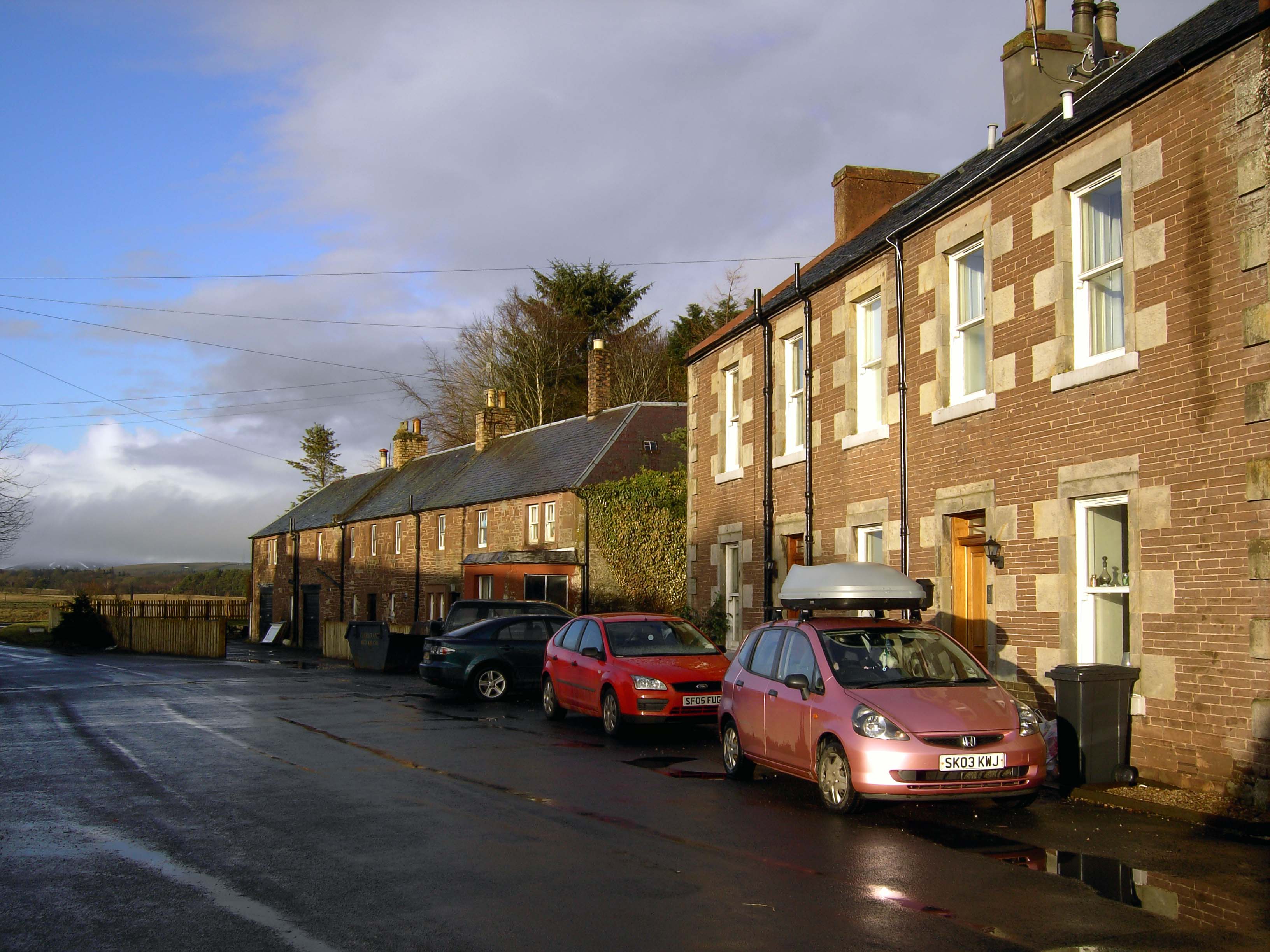
Callands Dene Images

Images are sourced within 2km of 55.700861/-3.3428866 or Grid Reference NT1546. Thanks to Geograph Open Source API. All images are credited.

Stripwood, Callands View from the path to the Henderland Hill hillfort.
Stripwood, Callands
View from the path to the Henderland Hill hillfort.
Sheep near Mountain Cross
Stripwood and road, Callands
Hill fort, Whiteside Hill View from above Callands.
Hill fort, Whiteside Hill
View from above Callands.
Mountain Cross With a Pentland backdrop.
Mountain Cross
With a Pentland backdrop.
Fields, Mountain Cross View from the Henderland Hill hillfort.
Fields, Mountain Cross
View from the Henderland Hill hillfort.
Mountain Cross View from the Henderland Hill hillfort.
Mountain Cross
View from the Henderland Hill hillfort.
Parkneuk View from the Henderland Hill hillfort.
Parkneuk
View from the Henderland Hill hillfort.
Blythbank View from the Henderland Hill hillfort.
Blythbank
View from the Henderland Hill hillfort.
Stripwood, Blythbank View towards Black Mount.
Stripwood, Blythbank
View towards Black Mount.
Hillfort, Henderland Hill The fort here is more elaborate than a lot of the forts in Peeblesshire with two sets of ramparts.
Hillfort, Henderland Hill
The fort here is more elaborate than a lot of the forts in Peeblesshire with two sets of ramparts.
Henderland Hill hillfort The fort here is more elaborate than a lot of the forts in Peeblesshire with two sets of ramparts.
Henderland Hill hillfort
The fort here is more elaborate than a lot of the forts in Peeblesshire with two sets of ramparts.
Henderland Hill hill fort The fort here is more elaborate than a lot of the forts in Peeblesshire with two sets of ramparts.
Henderland Hill hill fort
The fort here is more elaborate than a lot of the forts in Peeblesshire with two sets of ramparts.
A young hedge, Henderland Hill
A new hedge on Henderland Hill
Lone tree, Henderland Hill
On Henderland Hill
On Henderland Hill
Gate on Henderland Hill With a view towards Wether Law.
Gate on Henderland Hill
With a view towards Wether Law.
Show me another place!

Callands Dene is located at Grid Ref: NT1546 (Lat: 55.700861, Lng: -3.3428866)

Unitary Authority: The Scottish Borders

Police Authority: The Lothians and Scottish Borders

What 3 Words

///unlucky.football.stupidly. Near West Linton, Scottish Borders

Related Wikis

Bordlands

Bordlands is a village in the Parish of Newlands in the Scottish Borders area of Scotland. The former name of Bordlands was Boreland. == See also == List...

Newlands, Scottish Borders

Newlands is a parish in the Tweeddale committee area of the Scottish Borders council area, in southeastern Scotland. == Geography == Newlands is on the...

Romannobridge

Romanno Bridge is a village on the Lyne Water, on the A701, in the Scottish Borders area of Scotland. Settlements nearby include West Linton, Halmyre,...
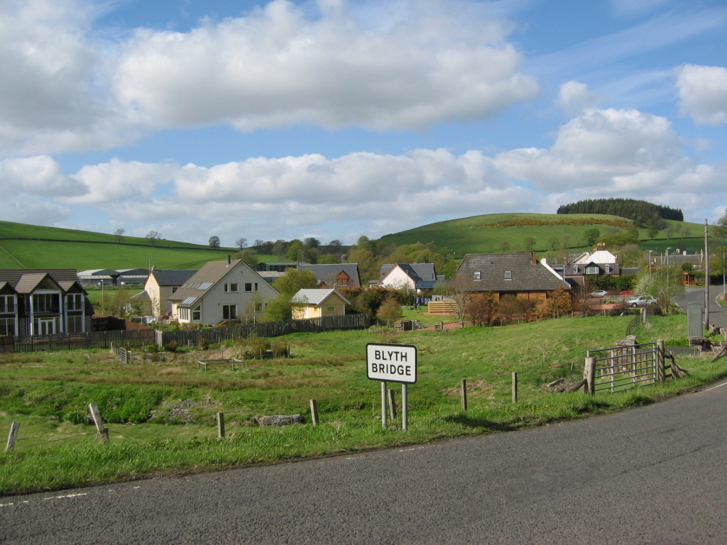
Blyth Bridge

Blyth Bridge is a small hamlet in the Scottish Borders area of Scotland, near to West Linton. It is located in a bend on the A701 which goes from Moffat...

Nearby Amenities

Located within 500m of 55.700861,-3.3428866
Ele: 277
Historic: fort
Natural: peak
Lat/Long: 55.7029378/-3.3442629
Power: pole
Lat/Long: 55.6986897/-3.3364135
Power: pole
Lat/Long: 55.6994041/-3.3371178
Power: pole
Lat/Long: 55.7002559/-3.3375256
Power: pole
Lat/Long: 55.7011326/-3.3379356
Power: pole
Lat/Long: 55.7020247/-3.3383603
Power: pole
Lat/Long: 55.7027841/-3.3380638
Power: pole
Lat/Long: 55.7035719/-3.3377821
Power: pole
Lat/Long: 55.6999734/-3.3407749
Power: pole
Lat/Long: 55.6991416/-3.3404805
Power: pole
Lat/Long: 55.6998193/-3.3458858
Power: pole
Lat/Long: 55.7001676/-3.3441219
Power: pole
Lat/Long: 55.7000966/-3.3430728
Power: pole
Lat/Long: 55.7000397/-3.3418807
Power: pole
Lat/Long: 55.6999141/-3.3395471
Bordlands Hill
Ele: 277
Natural: peak
Lat/Long: 55.7030821/-3.3443908
The data included in this document is from www.openstreetmap.org. The data is made available under ODbL.

Have you been to Callands Dene?

Leave your review of Callands Dene below (or comments, questions and feedback).