Donald's Cleuch

Valley in Peeblesshire

Scotland

Donald's Cleuch

Talla Nick On the bealach between Lochcraig Head and Firthybrig Head in the Scottish Borders or rather right on the boundary between the Borders and Dumfries and Galloway. Any moisture falling on the left will end up on the east coast at Berwick on Tweed and any on the right will end up on the west coast at Annan on the Solway Firth.
Talla Nick Credit: Adam Ward

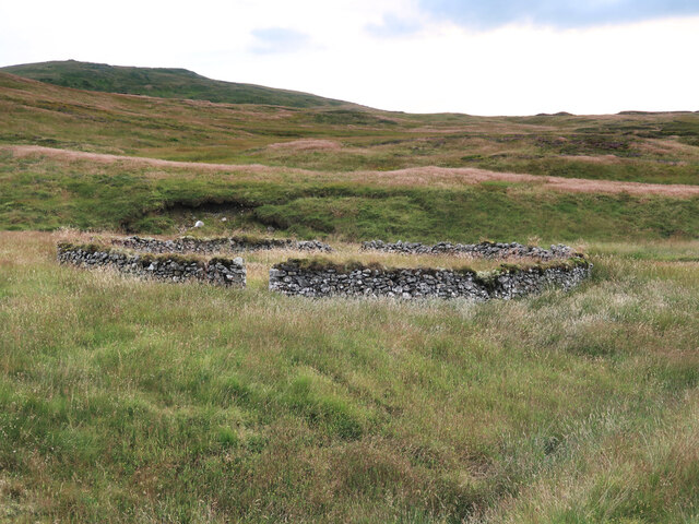
Donald's Cleuch is a picturesque valley located in Peeblesshire, a historic county in the Scottish Borders region of Scotland. Nestled within the scenic landscape, this valley offers breathtaking natural beauty and a tranquil atmosphere.

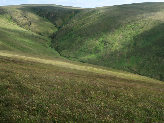
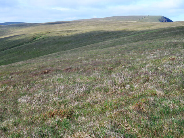
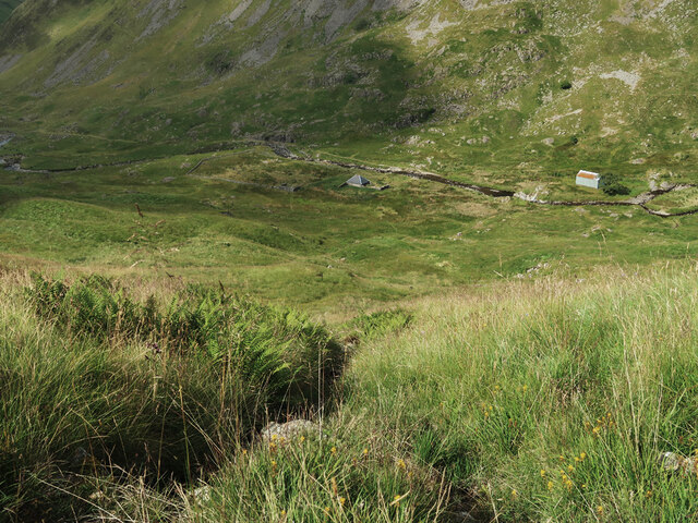
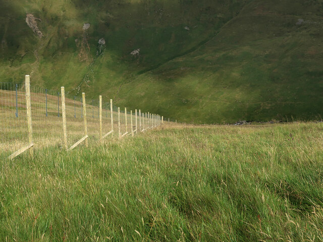
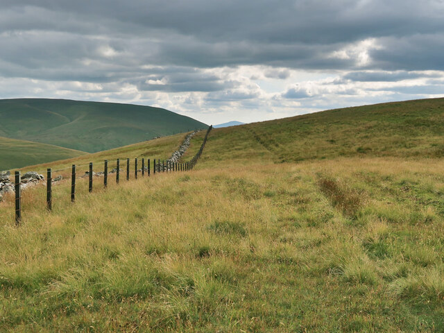
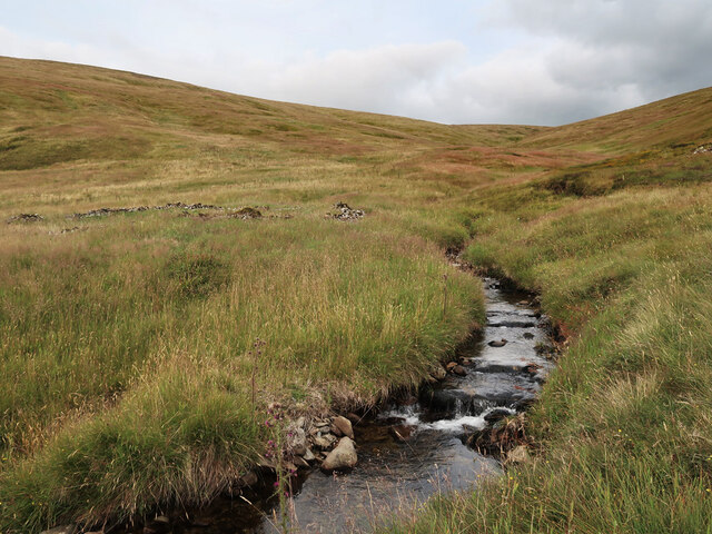
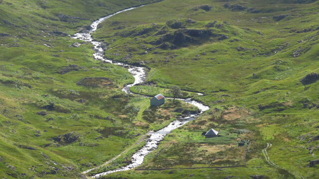
Situated near the village of Broughton, Donald's Cleuch is renowned for its stunning rolling hills, lush greenery, and meandering streams. The valley is formed by the Donald's Burn, a small river that winds its way through the landscape, adding to the charm of the area. The surrounding hills provide a stunning backdrop, making it an ideal destination for nature lovers and outdoor enthusiasts.

The valley is home to a diverse range of flora and fauna, with an abundance of wildflowers, mosses, and ferns carpeting the valley floor. It is not uncommon to spot various bird species, including buzzards, herons, and kingfishers, along the riverbanks. The tranquil atmosphere also attracts wildlife such as deer, rabbits, and squirrels, adding to the sense of natural beauty.

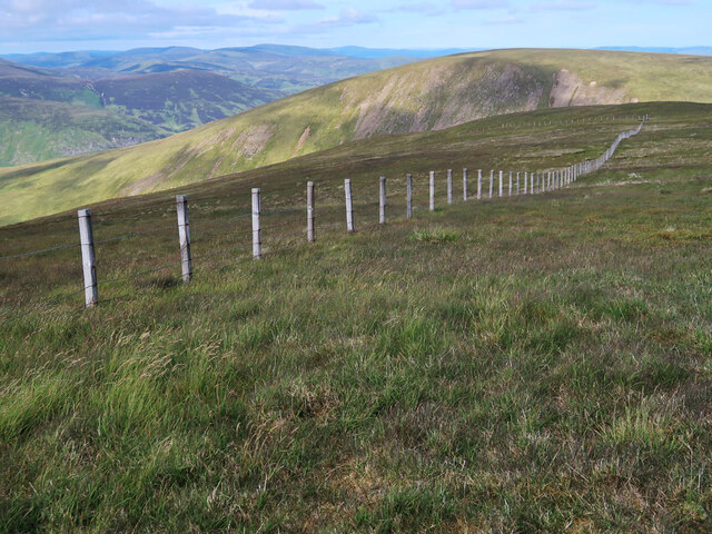
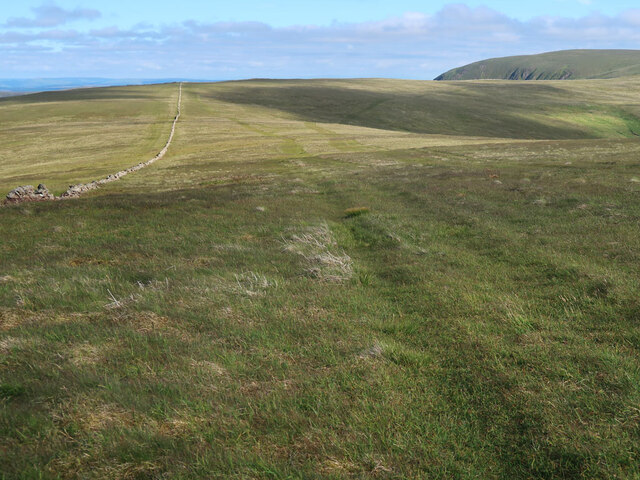
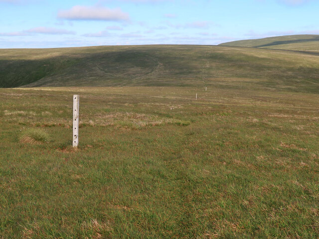
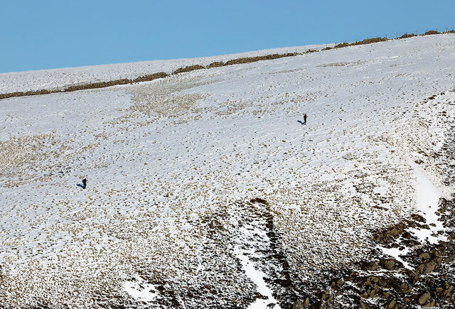
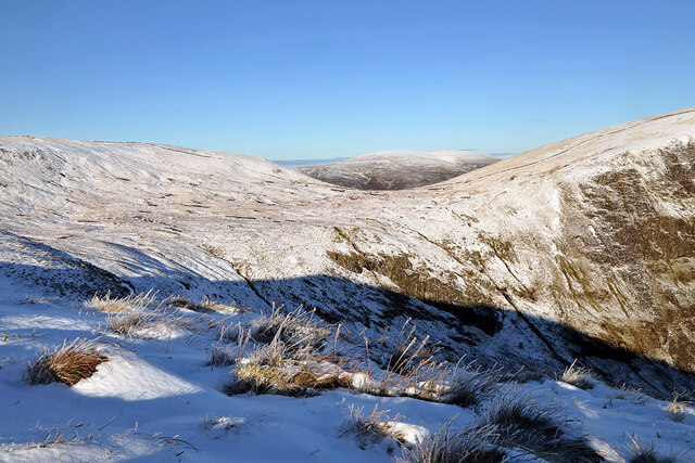
Donald's Cleuch offers numerous opportunities for outdoor activities, including hiking, picnicking, and wildlife spotting. The valley is crisscrossed by several walking trails, allowing visitors to explore the area at their own pace. The scenic viewpoints along these trails offer breathtaking vistas of the surrounding countryside, providing photographers with ample opportunities to capture the beauty of the valley.

Overall, Donald's Cleuch is a hidden gem in Peeblesshire, offering a peaceful retreat from the hustle and bustle of everyday life. With its idyllic scenery and abundant wildlife, it is a must-visit destination for nature enthusiasts seeking a slice of tranquility in the Scottish Borders.

If you have any feedback on the listing, please let us know in the comments section below.

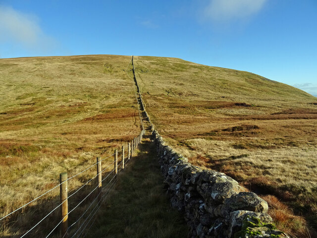
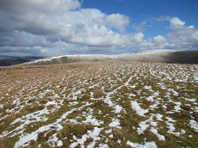
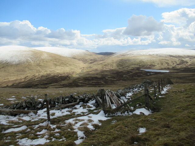
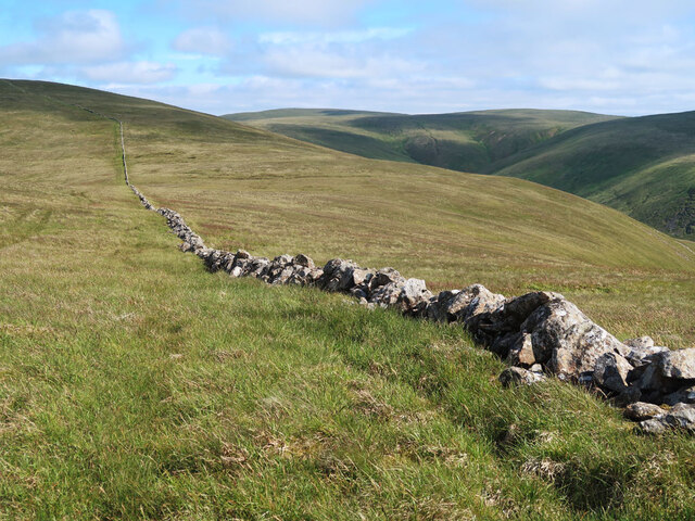
Donald's Cleuch Images

Images are sourced within 2km of 55.441378/-3.3500564 or Grid Reference NT1417. Thanks to Geograph Open Source API. All images are credited.

Talla Nick On the bealach between Lochcraig Head and Firthybrig Head in the Scottish Borders or rather right on the boundary between the Borders and Dumfries and Galloway. Any moisture falling on the left will end up on the east coast at Berwick on Tweed and any on the right will end up on the west coast at Annan on the Solway Firth.
Talla Nick
On the bealach between Lochcraig Head and Firthybrig Head in the Scottish Borders or rather right on the boundary between the Borders and Dumfries and Galloway. Any moisture falling on the left will end up on the east coast at Berwick on Tweed and any on the right will end up on the west coast at Annan on the Solway Firth.
Summit plateau on Garelet Dod Carlavin Hill and Molls Cleuch Dod are visible in the distance. As often seems to happen in April, a warm spell has given way to the return of cold northerly winds and wintry showers.
Summit plateau on Garelet Dod
Carlavin Hill and Molls Cleuch Dod are visible in the distance. As often seems to happen in April, a warm spell has given way to the return of cold northerly winds and wintry showers.
Looking into the upper Games Hope Gameshope Loch is visible in the distance, with snow-covered hillsides above 600m. or so, during a spell of  cold spring weather with northerly winds and wintry showers.
Looking into the upper Games Hope
Gameshope Loch is visible in the distance, with snow-covered hillsides above 600m. or so, during a spell of cold spring weather with northerly winds and wintry showers.
Drystane dyke from Carlavin Hill to Molls Cleuch Dod An old dyke across the high moorland.
Drystane dyke from Carlavin Hill to Molls Cleuch Dod
An old dyke across the high moorland.
Donald's Cleuch Looking down from the slopes of Molls Cleuch Dod.
Donald's Cleuch
Looking down from the slopes of Molls Cleuch Dod.
Fence on Molls Cleuch Dod Between the summit and Talla Craigs. Looking towards Nickies Knowe.
Fence on Molls Cleuch Dod
Between the summit and Talla Craigs. Looking towards Nickies Knowe.
Drystane dyke and ATV tracks on Molls Cleuch Dod Looking towards Firthybrig Head.
Drystane dyke and ATV tracks on Molls Cleuch Dod
Looking towards Firthybrig Head.
Drystane dyke and fence on Firthhope Rig The fence is a recent addition on the boundary of the Talla and Gameshope area managed by the Border Forest Trust, see <a href="https://www.geograph.org.uk/photo/7209729">NT1420 : Border Forest Trust information board at Talla Water</a>.
Drystane dyke and fence on Firthhope Rig
The fence is a recent addition on the boundary of the Talla and Gameshope area managed by the Border Forest Trust, see NT1420 : Border Forest Trust information board at Talla Water.
Old fence posts on Great Hill
The top of Donald's Cleuch Looking towards Firthybrig Head, Lochcraig Head and Loch Craig.
The top of Donald's Cleuch
Looking towards Firthybrig Head, Lochcraig Head and Loch Craig.
Steep slope behind Gameshope bothy The ground has been planted with trees and shrubs by the Borders Forest Trust.
Steep slope behind Gameshope bothy
The ground has been planted with trees and shrubs by the Borders Forest Trust.
Fence on Speir Gairs The fence descends the steep slope down to the Games Hope Burn.
Fence on Speir Gairs
The fence descends the steep slope down to the Games Hope Burn.
Fence and Dyke on Garelet Dod On the boundary of the Borders Forest Trust land.
Fence and Dyke on Garelet Dod
On the boundary of the Borders Forest Trust land.
The unnamed small burn in Ether Cleuch And an old, overgrown sheepfold on the right.
The unnamed small burn in Ether Cleuch
And an old, overgrown sheepfold on the right.
Old sheepfold beside the Games Hope Burn Looking towards Din Law.
Old sheepfold beside the Games Hope Burn
Looking towards Din Law.
Walkers on Loch Craig This telephoto shot was taken from Mid Craig on a beautiful January day.
Walkers on Loch Craig
This telephoto shot was taken from Mid Craig on a beautiful January day.
Winter conditions on Mid Craig This is a view from Mid Craig to the col between Firthybrig Head and Lochcraig Head.
Winter conditions on Mid Craig
This is a view from Mid Craig to the col between Firthybrig Head and Lochcraig Head.
Buildings at Gameshope from near summit of Lairds Cleuch Rig
Show me another place!

Donald's Cleuch is located at Grid Ref: NT1417 (Lat: 55.441378, Lng: -3.3500564)

Unitary Authority: The Scottish Borders

Police Authority: The Lothians and Scottish Borders

What 3 Words

///gossip.splits.compress. Near Ettrick, Scottish Borders

Related Wikis

Loch Skeen

Loch Skeen or Loch Skene is a loch in Dumfries and Galloway in the south of Scotland. It is located about 10 miles to the north-east of Moffat and feeds...

White Coomb

White Coomb is a hill in the Moffat Hills range, part of the Southern Uplands of Scotland. Its broad summit is the highest point in the range and the registration...

Moffat Hills

The Moffat Hills are a range of hills in the Southern Uplands of Scotland. They form a roughly triangular shape with a west facing side, a north facing...

Talla Water

Talla Water is a river in the Scottish Borders area of Scotland, near Tweedsmuir. It feeds the Talla Reservoir, and is a tributary of the River Tweed....

Have you been to Donald's Cleuch?

Leave your review of Donald's Cleuch below (or comments, questions and feedback).