Gates Cleuch
Valley in Peeblesshire
Scotland
Gates Cleuch
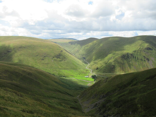
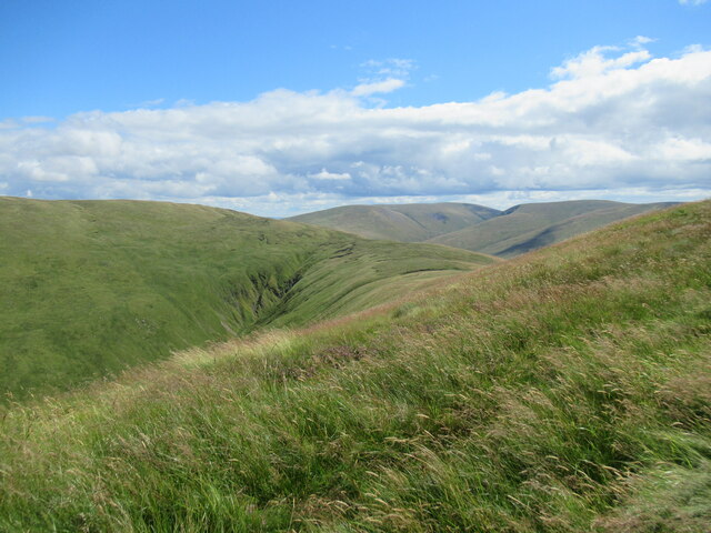
Gates Cleuch is a picturesque valley located in Peeblesshire, Scotland. Nestled amidst the rolling hills of the Scottish Borders, this stunning landscape offers a serene and tranquil escape for nature enthusiasts and hikers alike.
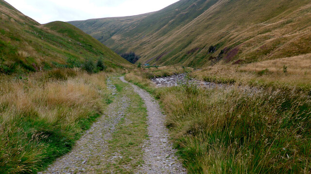
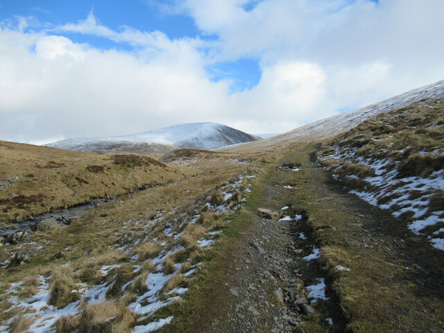
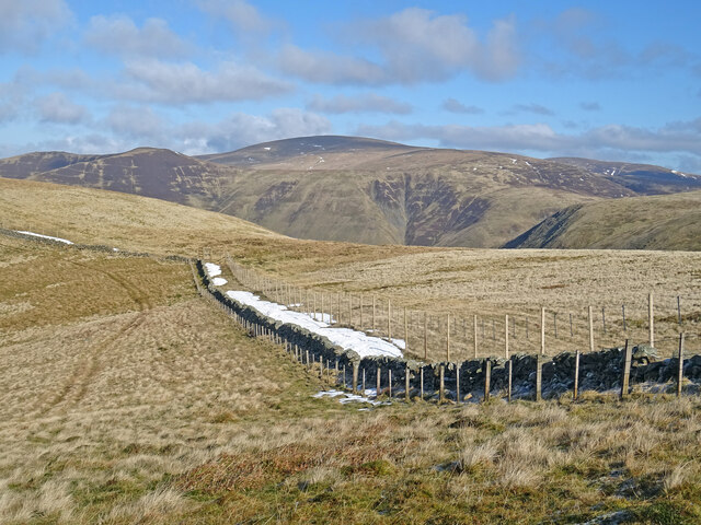
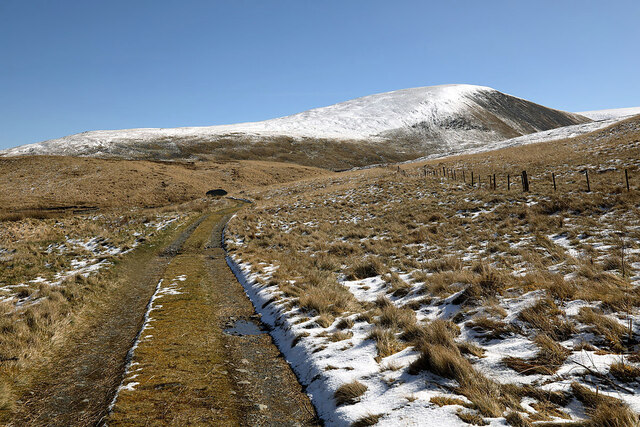
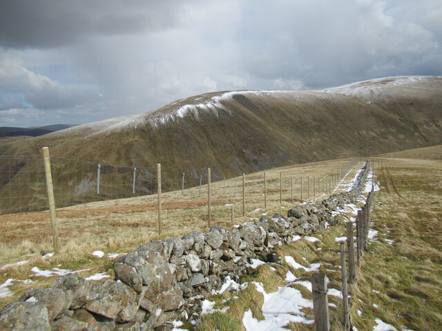
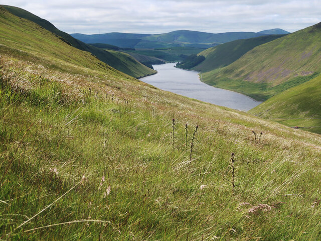
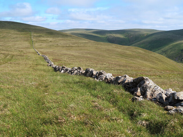
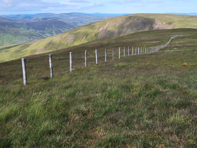
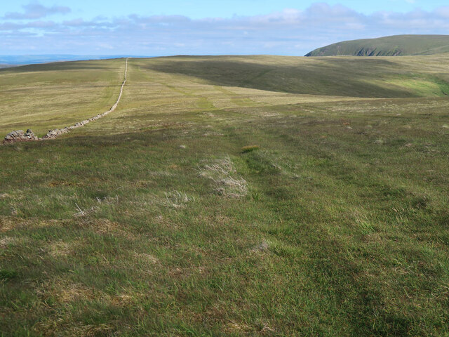
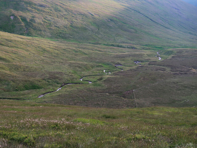
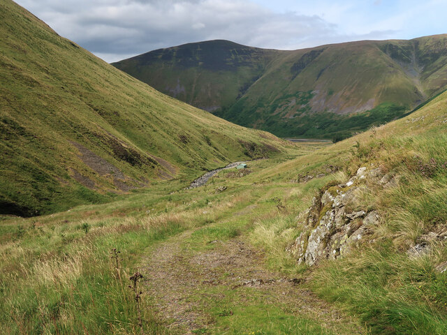
The valley is characterized by its lush green meadows, babbling streams, and dense woodlands. The meandering Gates Cleuch Burn slices through the heart of the valley, adding to its scenic charm. The surrounding hills, including the iconic Venlaw Hill, provide a stunning backdrop and offer panoramic views of the valley.
The area is rich in biodiversity, with a diverse range of flora and fauna inhabiting the valley. Visitors can spot a variety of bird species, such as red grouse, skylarks, and meadow pipits, as well as small mammals like rabbits and hares. The woodlands are home to a plethora of plant species, including bluebells, primroses, and wild garlic, creating a vibrant and colorful environment.
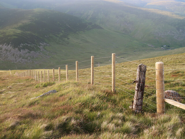
Gates Cleuch is a popular destination for outdoor activities, particularly hiking and walking. Numerous trails crisscross the valley, catering to both experienced hikers and casual walkers. The paths offer a chance to explore the natural beauty of the area while providing access to hidden gems such as waterfalls and ancient ruins.
In conclusion, Gates Cleuch in Peeblesshire is a truly enchanting valley, offering a harmonious blend of natural beauty and tranquility. Its diverse wildlife, stunning landscapes, and well-maintained trails make it a must-visit destination for nature lovers and outdoor enthusiasts.
If you have any feedback on the listing, please let us know in the comments section below.
Gates Cleuch Images
Images are sourced within 2km of 55.462818/-3.3542212 or Grid Reference NT1419. Thanks to Geograph Open Source API. All images are credited.


Gates Cleuch is located at Grid Ref: NT1419 (Lat: 55.462818, Lng: -3.3542212)
Unitary Authority: The Scottish Borders
Police Authority: The Lothians and Scottish Borders
What 3 Words
///heavy.apples.decently. Near Ettrick, Scottish Borders
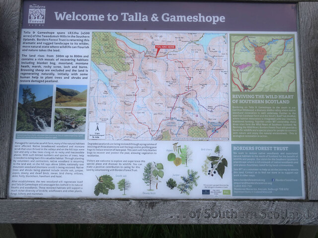
Nearby Locations
Related Wikis

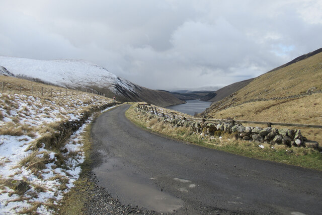
Talla Water
Talla Water is a river in the Scottish Borders area of Scotland, near Tweedsmuir. It feeds the Talla Reservoir, and is a tributary of the River Tweed....

Talla Reservoir
Talla Reservoir, located a mile from Tweedsmuir, Scottish Borders, Scotland, is an earth-work dam fed by Talla Water. The reservoir is supplemented by...

Broad Law
Broad Law is a hill in the Manor Hills range, part of the Southern Uplands of Scotland. The second-highest point in the Southern Uplands and the highest...

Loch Skeen
Loch Skeen or Loch Skene is a loch in Dumfries and Galloway in the south of Scotland. It is located about 10 miles to the north-east of Moffat and feeds...
Nearby Amenities
Located within 500m of 55.462818,-3.3542212Have you been to Gates Cleuch?
Leave your review of Gates Cleuch below (or comments, questions and feedback).