Ether Cleuch
Valley in Peeblesshire
Scotland
Ether Cleuch
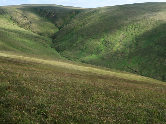
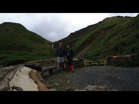
Ether Cleuch is a picturesque valley located in Peeblesshire, Scotland. Situated in the Southern Uplands, this valley is renowned for its stunning natural beauty and rich history. The name "Ether Cleuch" translates to "upper gorge" in Scottish Gaelic, perfectly capturing the essence of this enchanting landscape.
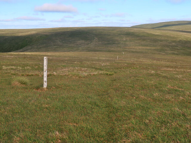
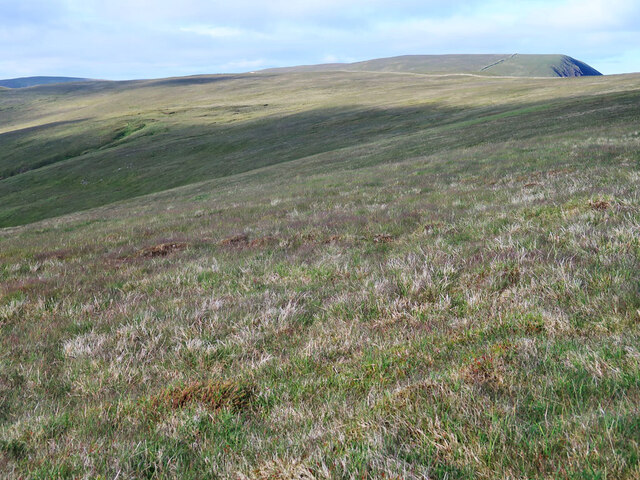
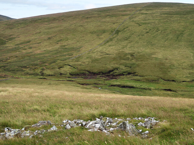
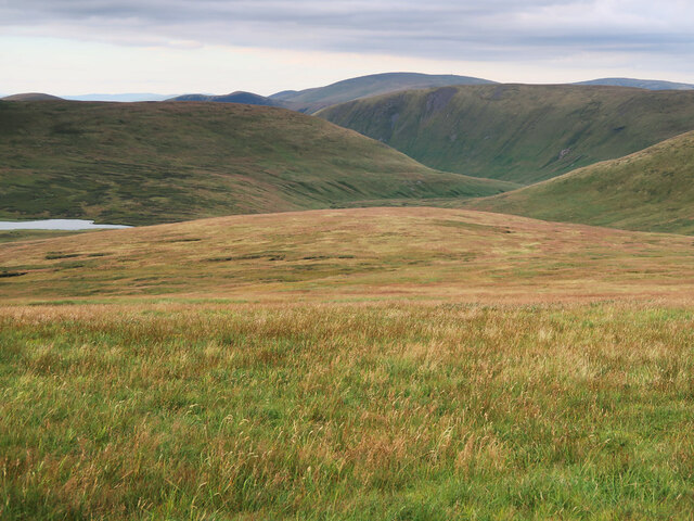
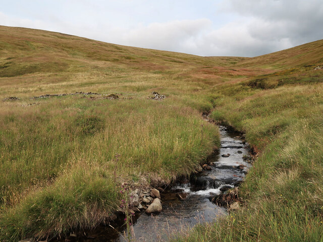
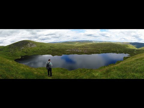
Nestled between rolling hills and craggy mountains, Ether Cleuch is a haven for outdoor enthusiasts and nature lovers alike. The valley is home to a diverse range of flora and fauna, including heather, wildflowers, and various bird species. The meandering Ether Water flows through the valley, adding to its charm and providing a peaceful backdrop for leisurely walks or picnics.
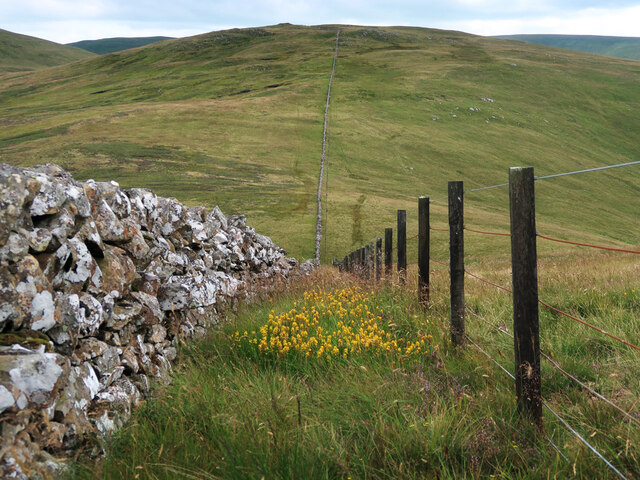
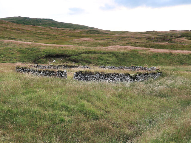
The history of Ether Cleuch is deeply rooted in the area's agricultural heritage. The valley was once used for sheep farming, and remnants of old stone walls and sheep pens can still be found scattered across the landscape. Additionally, the ruins of Ether Cleuch Tower, a historical tower house, stand as a testament to the area's past.
Visitors to Ether Cleuch can enjoy a range of outdoor activities, such as hiking, birdwatching, and photography. The valley is crisscrossed by several walking trails that offer breathtaking views of the surrounding countryside. Popular routes include the Ether Cleuch Circular Walk and the Ether Cleuch Hill Trail.
Overall, Ether Cleuch is a hidden gem in Peeblesshire, offering a tranquil escape from the hustle and bustle of everyday life. Whether you are seeking a peaceful retreat or an adventure in nature, this valley is sure to captivate your senses and leave a lasting impression.
If you have any feedback on the listing, please let us know in the comments section below.
Ether Cleuch Images
Images are sourced within 2km of 55.428782/-3.3546833 or Grid Reference NT1415. Thanks to Geograph Open Source API. All images are credited.


Ether Cleuch is located at Grid Ref: NT1415 (Lat: 55.428782, Lng: -3.3546833)
Unitary Authority: The Scottish Borders
Police Authority: The Lothians and Scottish Borders
What 3 Words
///awakening.cheese.revolts. Near Moffat, Dumfries & Galloway
Nearby Locations
Related Wikis

Moffat Hills
The Moffat Hills are a range of hills in the Southern Uplands of Scotland. They form a roughly triangular shape with a west facing side, a north facing...

White Coomb
White Coomb is a hill in the Moffat Hills range, part of the Southern Uplands of Scotland. Its broad summit is the highest point in the range and the registration...

Loch Skeen
Loch Skeen or Loch Skene is a loch in Dumfries and Galloway in the south of Scotland. It is located about 10 miles to the north-east of Moffat and feeds...

Hart Fell
Hart Fell is a hill in the Moffat Hills range, part of the Southern Uplands of Scotland. It lies north of the town of Moffat on the border with the Scottish...

Grey Mare's Tail, Moffat Hills
Grey Mare's Tail is a 60-metre (200 ft) hanging valley waterfall near to Moffat in southern Scotland. The fall is produced by the Tail Burn flowing from...

Talla Water
Talla Water is a river in the Scottish Borders area of Scotland, near Tweedsmuir. It feeds the Talla Reservoir, and is a tributary of the River Tweed....

Southern Uplands
The Southern Uplands (Scottish Gaelic: Na Monaidhean a Deas) are the southernmost and least populous of mainland Scotland's three major geographic areas...

Dob's Linn
Dob's Linn is a small steep valley in Dumfries and Galloway, just north of the A708 road between Moffat and Selkirk, in Scotland. It is part of the Grey...
Related Videos

Sunny days #whitecoomb #hiking
fantastic day out hiking up a local Corbett called white coomb #whitecoomb #djimini #drone #hike #hiking #Moffat hills #moffat ...
066.White Coomb by the Grey Mare's Tail.Hiking in Scotland,England and Wales.
Video series about climbing the major mountains of the Scottish Highlands, England and Wales. Videó sorozat a Skót Felföld, ...

White Coomb (Corbett)
We took a drive to Grey Mares Tail to walk up Loch Skeen but decided to take in the Corbett White Coomb.
Have you been to Ether Cleuch?
Leave your review of Ether Cleuch below (or comments, questions and feedback).