Baron's Cleugh

Valley in Midlothian

Scotland

Baron's Cleugh

Stell by the Henslaw Burn Ruined sheepfold.
Stell by the Henslaw Burn Credit: Richard Webb

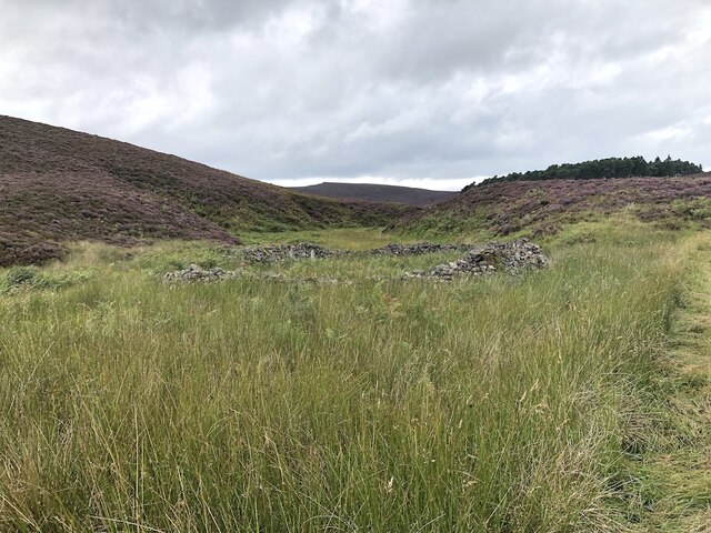
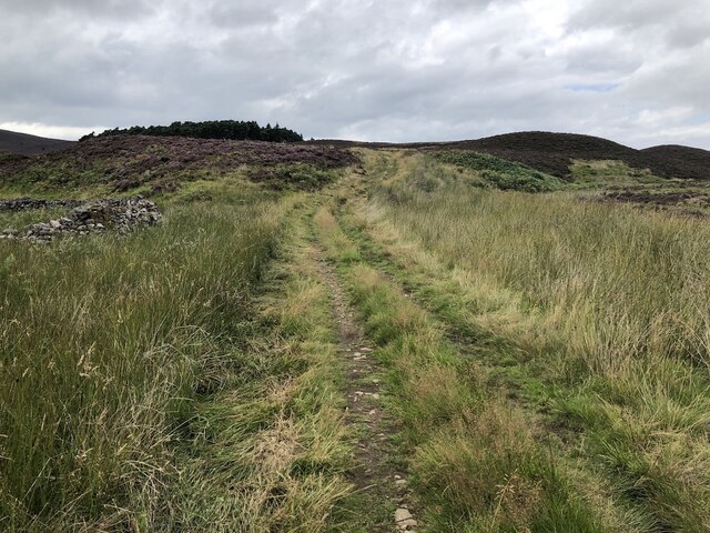
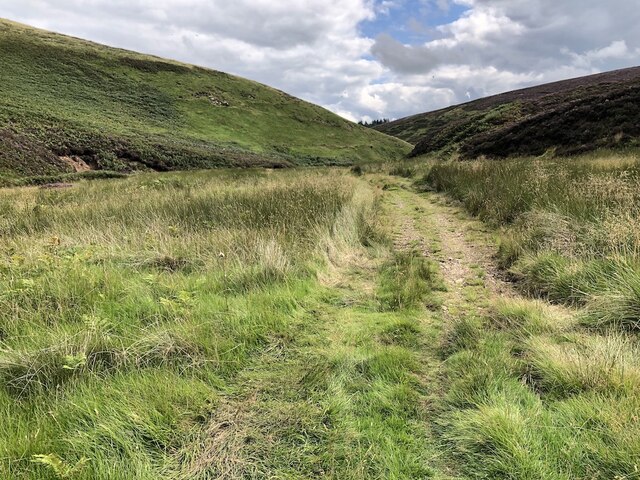
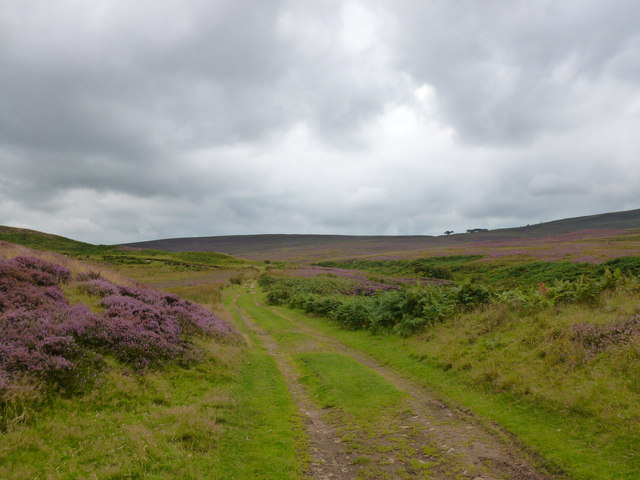
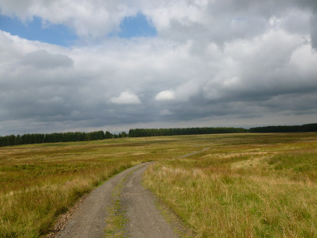
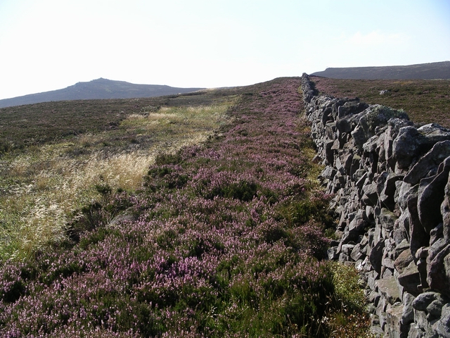
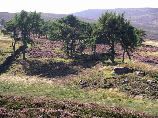
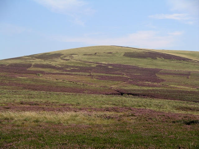
Baron's Cleugh is a picturesque valley located in Midlothian, Scotland. Nestled amidst the scenic Pentland Hills, it offers a tranquil escape from the bustling city life of nearby Edinburgh. The cleugh, which is the Scottish term for a steep-sided valley, is a popular spot for nature enthusiasts and hikers.

The valley is characterized by its lush greenery, with a variety of trees, plants, and wildflowers adorning its slopes. The meandering streams and cascading waterfalls add to its natural beauty, creating a soothing and peaceful atmosphere. The diverse range of flora and fauna found in the area makes it a haven for wildlife, including deer, rabbits, and a variety of bird species.

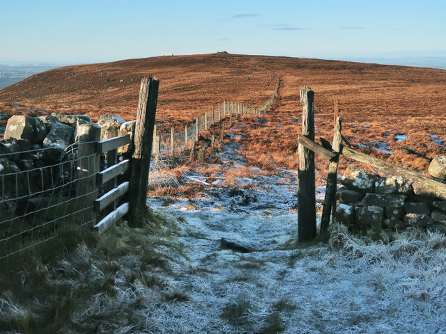
Baron's Cleugh offers several walking trails, catering to both experienced hikers and casual strollers. The paths wind through the valley, offering breathtaking views of the surrounding hills and countryside. One of the highlights of the cleugh is the impressive waterfall located at its heart, which is particularly awe-inspiring after heavy rainfall.

Visitors to Baron's Cleugh can enjoy a day of exploration and relaxation in this idyllic setting. Whether it's a leisurely picnic by the stream, a challenging hike up the hills, or simply a peaceful stroll along the trails, the valley offers something for everyone. With its natural beauty and serene ambiance, Baron's Cleugh is a hidden gem that showcases the enchanting Scottish countryside at its finest.

If you have any feedback on the listing, please let us know in the comments section below.

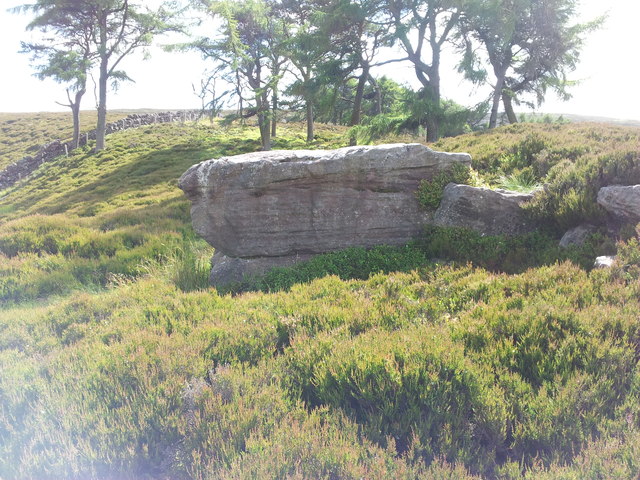
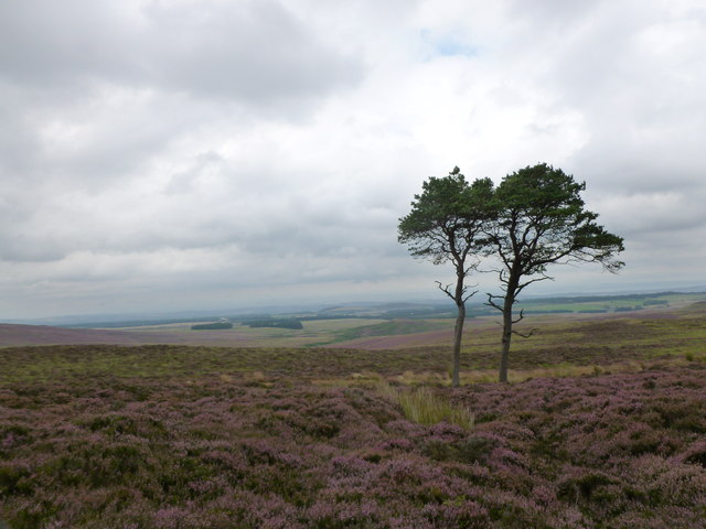
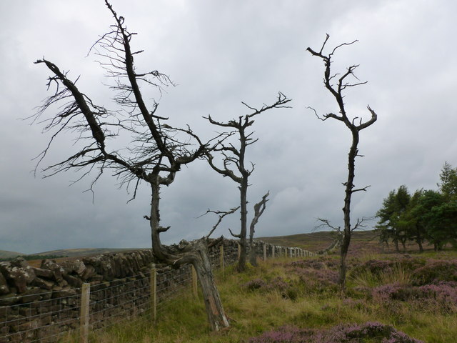
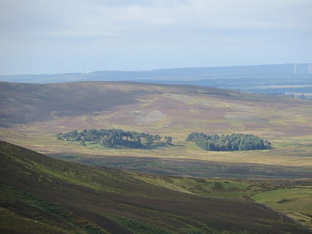
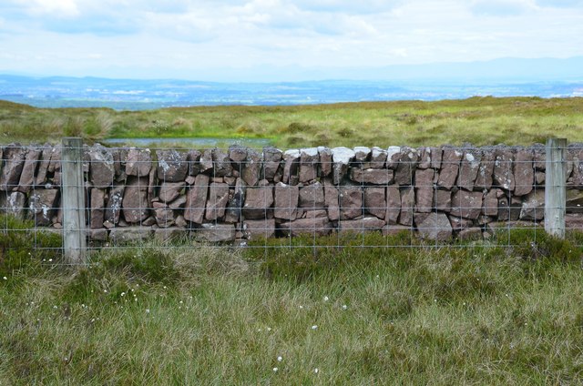
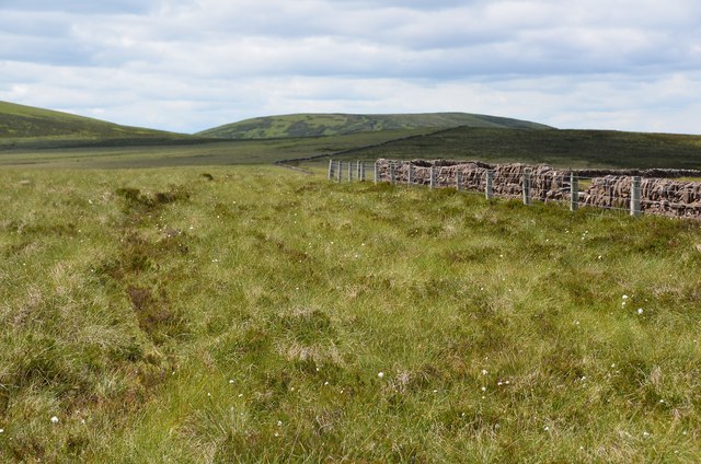
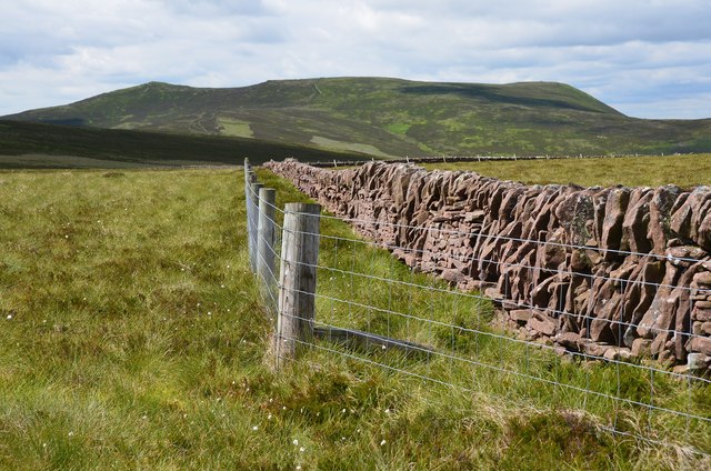
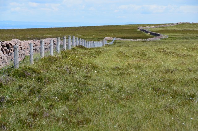
Baron's Cleugh Images

Images are sourced within 2km of 55.831412/-3.3735666 or Grid Reference NT1460. Thanks to Geograph Open Source API. All images are credited.

Stell by the Henslaw Burn Ruined sheepfold.
Stell by the Henslaw Burn
Ruined sheepfold.
Track to the Boar Stane Not the traditional route which is on the other side of the burn that becomes the North Esk, but a wider route that meets up with the right of way on the ridge.
Track to the Boar Stane
Not the traditional route which is on the other side of the burn that becomes the North Esk, but a wider route that meets up with the right of way on the ridge.
Boar Stane pass A quadbike track beside the North Esk and Henshaw Burn.  This rejoins the traditional route at the pass.
Boar Stane pass
A quadbike track beside the North Esk and Henshaw Burn. This rejoins the traditional route at the pass.
Fence heading towards East Cairn Hill cairn The large cairn on the horizon is not the highest point of the hill but it is an excellent viewpoint on a clear day.
Fence heading towards East Cairn Hill cairn
The large cairn on the horizon is not the highest point of the hill but it is an excellent viewpoint on a clear day.
The Bore Stane A big stane at the summit of the Carlops to Buteland path
The Bore Stane
A big stane at the summit of the Carlops to Buteland path
Windswept trees near the Bore Stane On heather moorland in the Pentland Hills.
Windswept trees near the Bore Stane
On heather moorland in the Pentland Hills.
Skeletal trees by the march fence These trees have apparently failed to thrive on this windswept moorland by the Midlothian-Peeblesshire march fence.
Skeletal trees by the march fence
These trees have apparently failed to thrive on this windswept moorland by the Midlothian-Peeblesshire march fence.
Woods near Listonshiels A pair of plantations on the north side of the Pentland Hills.
Woods near Listonshiels
A pair of plantations on the north side of the Pentland Hills.
Wall construction, Kitchen Moss The drystane dyke in this area has many of the stones in the body of the wall laid vertically.
Wall construction, Kitchen Moss
The drystane dyke in this area has many of the stones in the body of the wall laid vertically.
Kitchen Moss Flat peaty moorland on the watershed of the Pentlands. The Gutterford Burn (SSW) is one of the headstreams of the North Esk and Logan Burn (NE) joins it near Auchendinny. To the north, the Bavelaw Burn (NW) drains through Threipmuir and Harlaw Reservoirs to Balerno, where it joins the Water of Leith. Note the cotton grass amongst the tussocks and heather patches.
Kitchen Moss
Flat peaty moorland on the watershed of the Pentlands. The Gutterford Burn (SSW) is one of the headstreams of the North Esk and Logan Burn (NE) joins it near Auchendinny. To the north, the Bavelaw Burn (NW) drains through Threipmuir and Harlaw Reservoirs to Balerno, where it joins the Water of Leith. Note the cotton grass amongst the tussocks and heather patches.
East Cairn Hill from Kitchen Moss The escarpment of East Cairn Hill seen from the flattened boggy dome of Kitchen Moss, looking quite innocuous on a sunny June day.
East Cairn Hill from Kitchen Moss
The escarpment of East Cairn Hill seen from the flattened boggy dome of Kitchen Moss, looking quite innocuous on a sunny June day.
Wall on Kitchen Moss The drystane wall and fence snaking across the almost flat moorland; one of the less-frequented parts of the Pentland Hills.
Wall on Kitchen Moss
The drystane wall and fence snaking across the almost flat moorland; one of the less-frequented parts of the Pentland Hills.
Bore Stane track An old route over the Pentland Hills to Carlops.
Bore Stane track
An old route over the Pentland Hills to Carlops.
Moorland track near Listonshiels Part of an old route over the Pentlands from Carlops.
Moorland track near Listonshiels
Part of an old route over the Pentlands from Carlops.
Edinburgh Water Company marker Dated 1859, this is sited next to a well beside the Listonshiels track.
Edinburgh Water Company marker
Dated 1859, this is sited next to a well beside the Listonshiels track.
E Ridge, East Cairn Hill
The Bore Stane The summit of the pass between Balerno and Carlops.  The origin of the name "Bore Stane", which refers to the outcrop of rock shown, seems unknown.
The Bore Stane
The summit of the pass between Balerno and Carlops. The origin of the name "Bore Stane", which refers to the outcrop of rock shown, seems unknown.
Cock Rig Taken from the Bore Stane path.
Cock Rig
Taken from the Bore Stane path.
Show me another place!

Baron's Cleugh is located at Grid Ref: NT1460 (Lat: 55.831412, Lng: -3.3735666)

Unitary Authority: City of Edinburgh

Police Authority: Edinburgh

What 3 Words

///lunch.protected.bats. Near Balerno, Edinburgh

Nearby Locations

Baron's Cleugh

Related Wikis

East Cairn Hill

East Cairn Hill is a hill in the Pentland Hills range of Scotland. With a height of 567 m (1,860 ft), it is the highest hill in Edinburgh and is located...

Pentland Hills

The Pentland Hills are a range of hills southwest of Edinburgh, Scotland. The range is around twenty miles (thirty kilometres) in length, and runs southwest...

Cauldstane Slap

Cauldstane Slap is a pass located in the Pentland Hills of Scotland. It marks the border between the neighboring council areas of West Lothian and Scottish...

Bavelaw Castle

Bavelaw Castle is a historic house in the City of Edinburgh Council area, Scotland. It is north of Hare Hill in the Pentland Hills, four miles west of...

Have you been to Baron's Cleugh?

Leave your review of Baron's Cleugh below (or comments, questions and feedback).