Gyrn Dingle
Valley in Flintshire
Wales
Gyrn Dingle
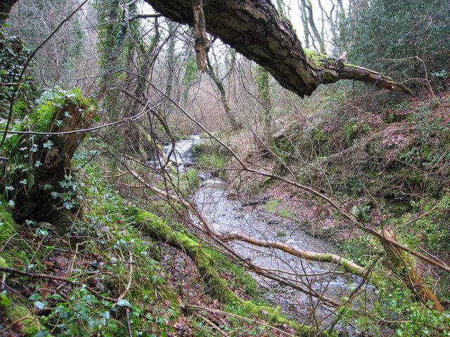
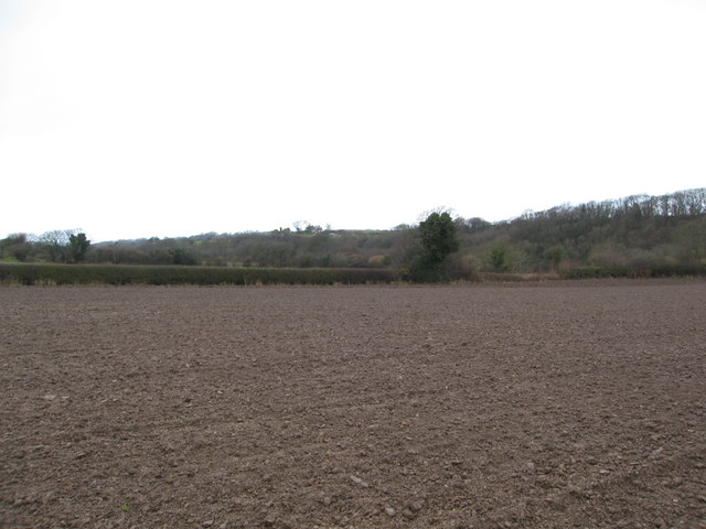
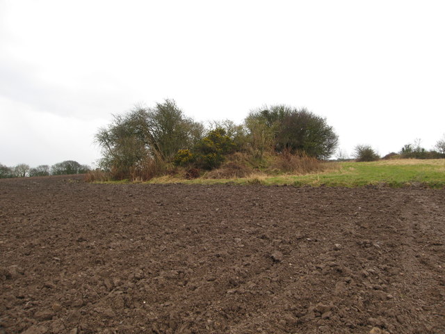
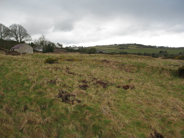
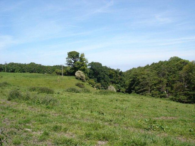
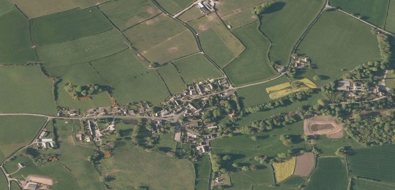
Gyrn Dingle is a picturesque valley located in Flintshire, a county in northeastern Wales, United Kingdom. Situated near the village of Gwernymynydd, it is known for its stunning natural beauty and tranquil atmosphere. The valley is surrounded by rolling hills adorned with lush greenery, making it a popular destination for nature enthusiasts and hikers.
One of the main attractions in Gyrn Dingle is its extensive network of walking trails that offer breathtaking views of the surrounding countryside. These trails cater to various difficulty levels, ensuring that visitors of all ages and abilities can enjoy the stunning landscapes. The valley is also home to a diverse range of wildlife, including various bird species, rabbits, and squirrels, making it a haven for wildlife enthusiasts and photographers.
In addition to its natural charm, Gyrn Dingle is also steeped in history. The valley features remnants of old stone walls and ruins, showcasing its past agricultural and industrial significance. Visitors can explore these historical sites and gain insight into the valley's heritage.
Despite its rural setting, Gyrn Dingle is conveniently located close to several amenities. The nearby village of Gwernymynydd offers a range of shops, cafes, and pubs, providing visitors with opportunities to relax and refuel after a day of exploration.
Overall, Gyrn Dingle is a hidden gem in Flintshire, offering a peaceful and idyllic retreat for those seeking to immerse themselves in the beauty of the Welsh countryside.
If you have any feedback on the listing, please let us know in the comments section below.
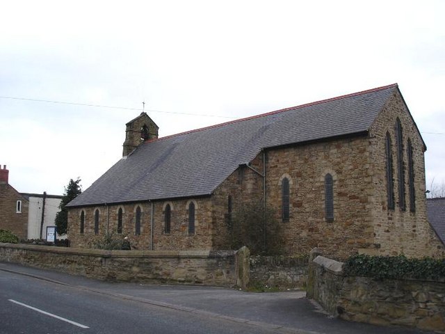
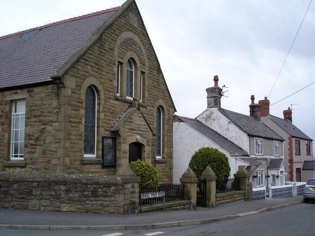
Gyrn Dingle Images
Images are sourced within 2km of 53.31945/-3.3192122 or Grid Reference SJ1281. Thanks to Geograph Open Source API. All images are credited.


Gyrn Dingle is located at Grid Ref: SJ1281 (Lat: 53.31945, Lng: -3.3192122)
Unitary Authority: Flintshire
Police Authority: North Wales
What 3 Words
///commit.sizzled.century. Near Gronant, Flintshire
Nearby Locations
Related Wikis
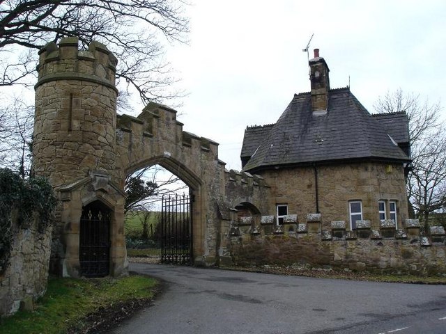
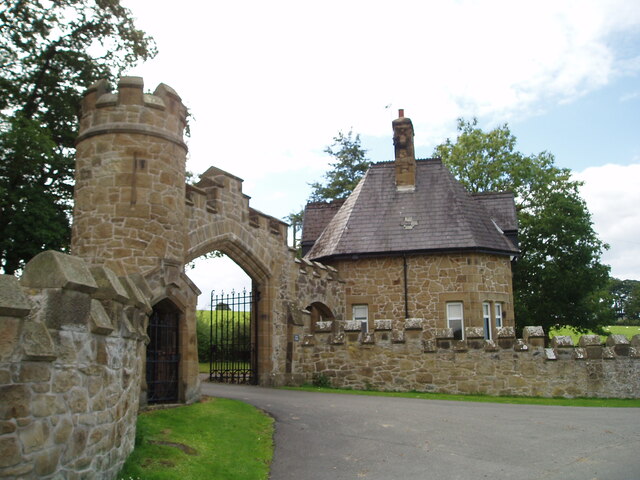
Gyrn Castle
Gyrn Castle is a Grade II-listed castellated mansion in Llanasa in Flintshire. == History == It was built between 1817 and 1824 by John Douglas, who incorporated...
Trelogan
Trelogan is a village in Flintshire, north east Wales. It is located between Mostyn and Trelawnyd and is almost contiguous with Berthengam. Trelogan had...
Llanasa
Llanasa is a village and community in the county of Flintshire, north-east Wales. Llanasa is described as one of the ancient parishes of Flintshire. It...
Ffynnongroew
Ffynnongroyw (sometimes spelled Ffynnongroew) is a village in Flintshire, north Wales. It is situated on the A548 road, near the Dee Estuary coast, near...
Pen-y-ffordd
Pen-y-ffordd is a hamlet in Flintshire, Wales. It is located between Holywell and Prestatyn, to the north west of Mostyn. The actor and writer Emlyn Williams...

Gwespyr
Gwespyr is a village in Flintshire on the north coast of Wales in the community of Llanasa. Gwespyr had a population of 289 people in the United Kingdom...
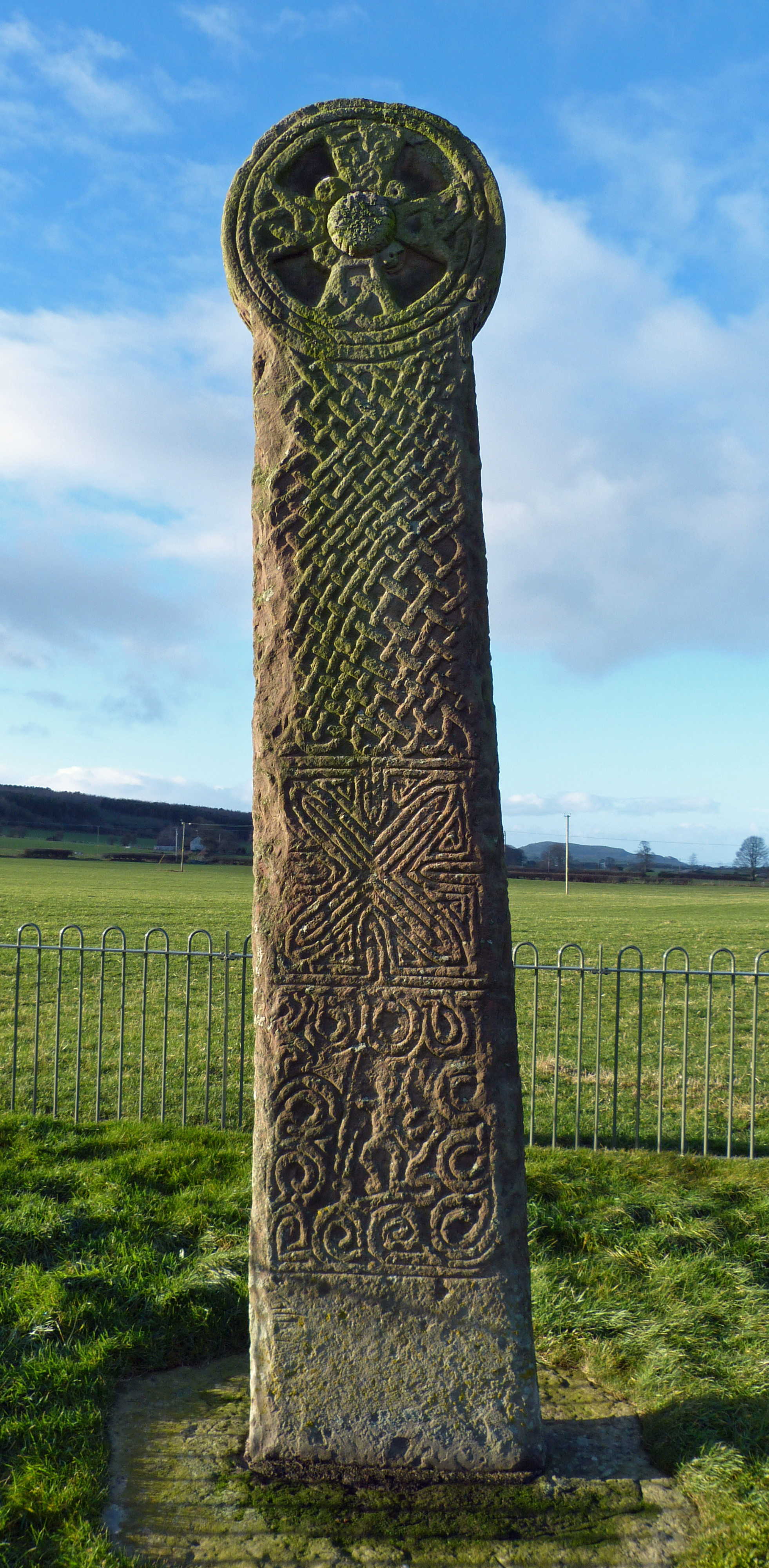
Maen Achwyfan Cross
Maen Achwyfan Cross (Welsh: Maen Achwyfan, Croes Maen Achwyfan), located near the village of Whitford, Flintshire, Wales, is a high cross dating from the...

Mostyn Hall
Mostyn Hall is a large house standing in 25 acres (10 hectares) of garden near the village of Mostyn, Flintshire, Wales. It is designated by Cadw as a...
Nearby Amenities
Located within 500m of 53.31945,-3.3192122Have you been to Gyrn Dingle?
Leave your review of Gyrn Dingle below (or comments, questions and feedback).