Ceunant y Garys
Valley in Montgomeryshire
Wales
Ceunant y Garys

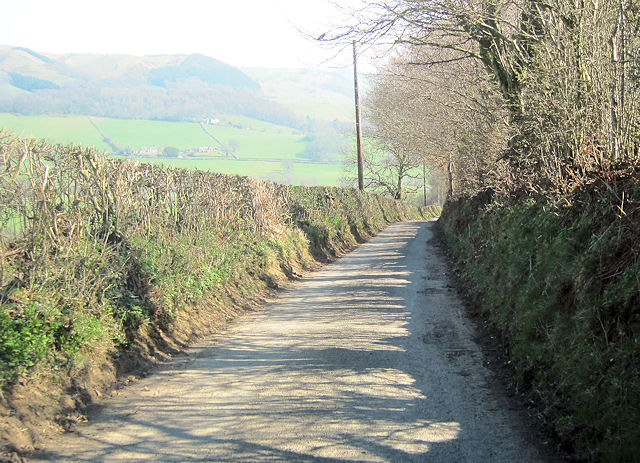
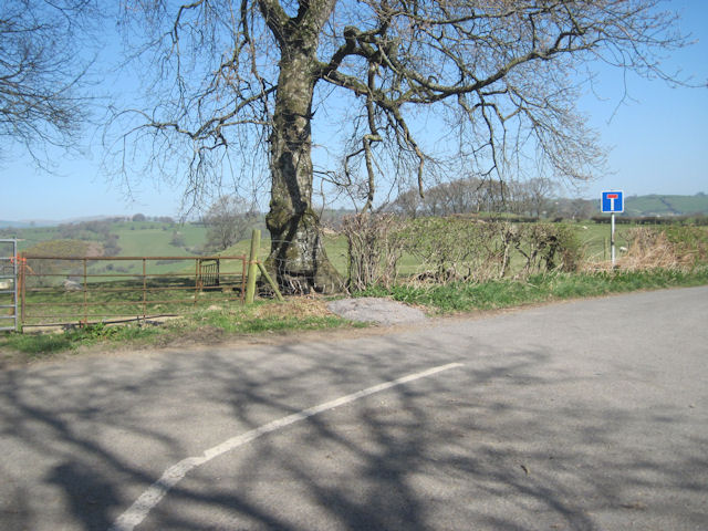
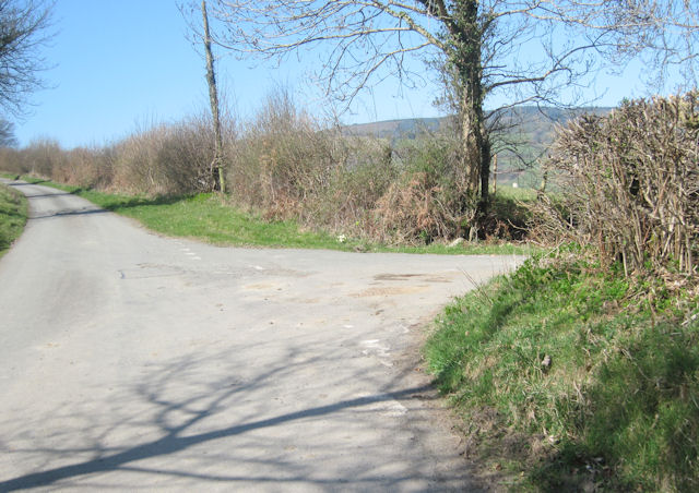
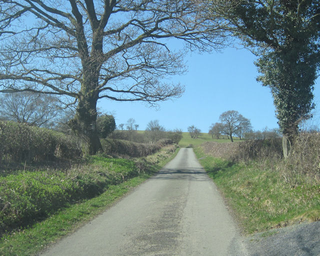
Ceunant y Garys is a picturesque valley located in the county of Montgomeryshire, Wales. Nestled within the stunning landscape of the Cambrian Mountains, this valley is renowned for its natural beauty and tranquil atmosphere. The valley is situated near the town of Machynlleth and is easily accessible via a scenic drive through winding country roads.
The name "Ceunant y Garys" translates to "Valley of the Garys Stream" in English. The valley is characterized by its lush greenery, rolling hills, and the meandering Garys Stream that flows through its heart. The stream is fed by numerous smaller tributaries originating from the surrounding mountains, creating a stunning network of cascades and waterfalls throughout the valley.
The flora and fauna in Ceunant y Garys are diverse and abundant. The valley is home to a variety of plant species, including ferns, mosses, and wildflowers that thrive in the damp and fertile environment. The dense vegetation provides an ideal habitat for a wide range of wildlife, such as otters, badgers, and various bird species, including red kites and peregrine falcons.
Ceunant y Garys offers numerous opportunities for outdoor activities and exploration. Visitors can enjoy hiking along the many well-maintained trails that wind through the valley, providing breathtaking views of the surrounding mountains and the cascading waterfalls. The valley is also a popular spot for birdwatching, photography, and simply immersing oneself in the tranquility of nature.
In conclusion, Ceunant y Garys is a stunning valley in Montgomeryshire, Wales, known for its natural beauty, cascading waterfalls, and diverse wildlife. It is a haven for nature lovers and outdoor enthusiasts seeking a peaceful escape amidst the scenic splendor of the Cambrian Mountains.
If you have any feedback on the listing, please let us know in the comments section below.
Ceunant y Garys Images
Images are sourced within 2km of 52.766024/-3.3191223 or Grid Reference SJ1119. Thanks to Geograph Open Source API. All images are credited.


Ceunant y Garys is located at Grid Ref: SJ1119 (Lat: 52.766024, Lng: -3.3191223)
Unitary Authority: Powys
Police Authority: Dyfed Powys
What 3 Words
///behalf.estimates.trusts. Near Llanfyllin, Powys
Nearby Locations
Related Wikis

Bodfach
Bodfach is a hamlet in the community of Llanfyllin, Powys, Wales, which is 89 miles (144 km) from Cardiff and 160 miles (257 km) from London.Nearby Bodfach...

Tomen yr Allt
Tomen yr Allt (or Domen yr Allt) was a Medieval motte and bailey defensive castle near Llanfyllin in Powys, Wales. "Tomen ar hallt" is modern Welsh for...

Llanfyllin
Llanfyllin (Welsh pronunciation: [ɬanˈvəɬɪn] – ) is a market town and community in Powys, Wales. The town population in 2021 was 1,586 and the town's...
Llanfyllin High School
Llanfyllin High School (Welsh: Ysgol Uwchradd Llanfyllin) was a bilingual secondary school situated in the mid-Wales town of Llanfyllin. As of its final...
Nearby Amenities
Located within 500m of 52.766024,-3.3191223Have you been to Ceunant y Garys?
Leave your review of Ceunant y Garys below (or comments, questions and feedback).