Gimmer Cleuch
Valley in Peeblesshire
Scotland
Gimmer Cleuch
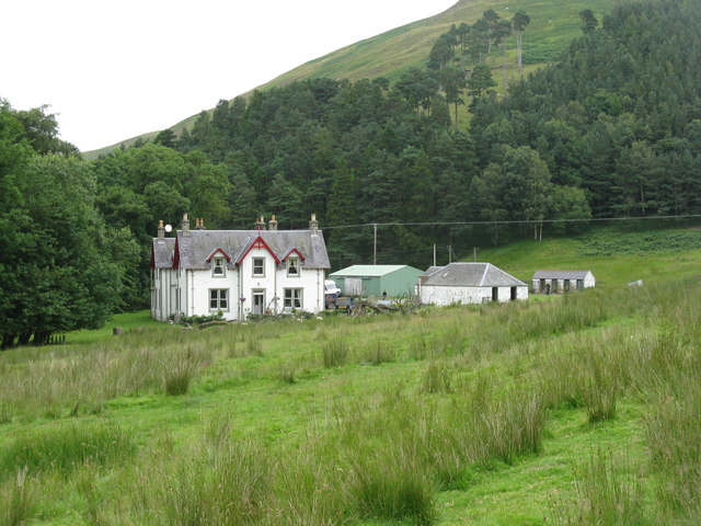
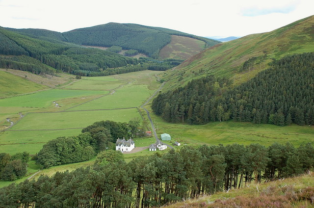
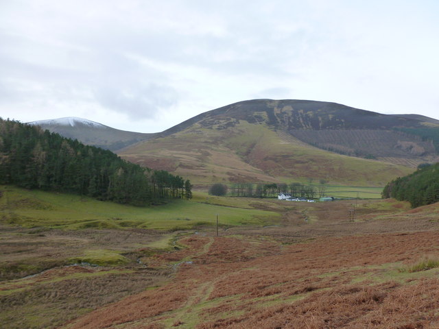
Gimmer Cleuch is a picturesque valley located in Peeblesshire, Scotland. Nestled within the rolling hills of the Scottish Borders, this charming valley offers breathtaking natural beauty and an opportunity to immerse oneself in the tranquility of the countryside.
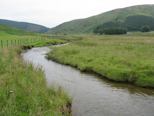
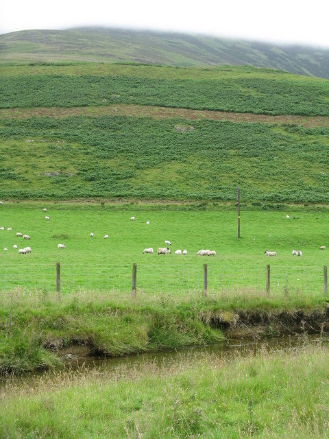
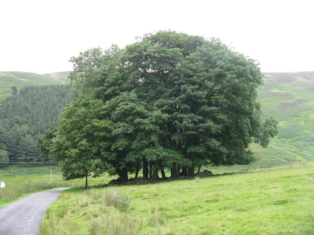
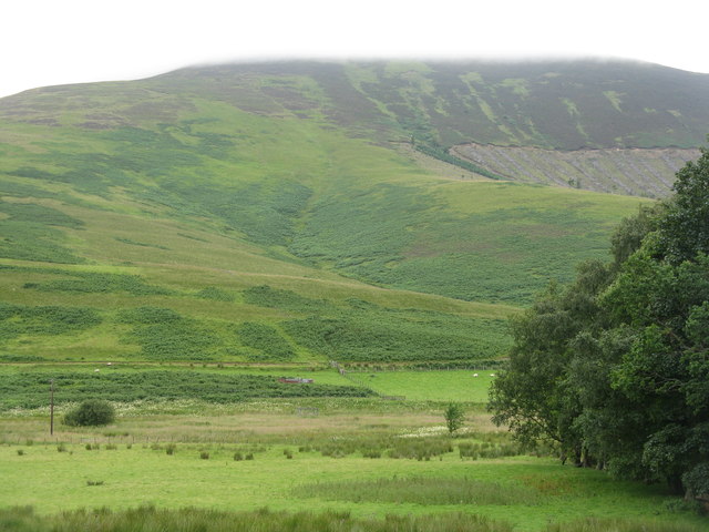
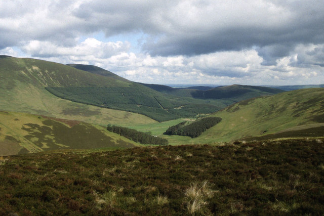
The valley is characterized by its lush green landscapes, dotted with patches of heather and vibrant wildflowers. The meandering Gimmer Burn river flows through the heart of the valley, further enhancing its scenic charm. The valley is surrounded by hills and crags, providing a stunning backdrop to the idyllic landscape.
Gimmer Cleuch is renowned for its rich biodiversity, with a wide array of plant and animal species calling it home. Nature enthusiasts can enjoy spotting various bird species, including buzzards and kestrels, as well as smaller mammals such as badgers and foxes.
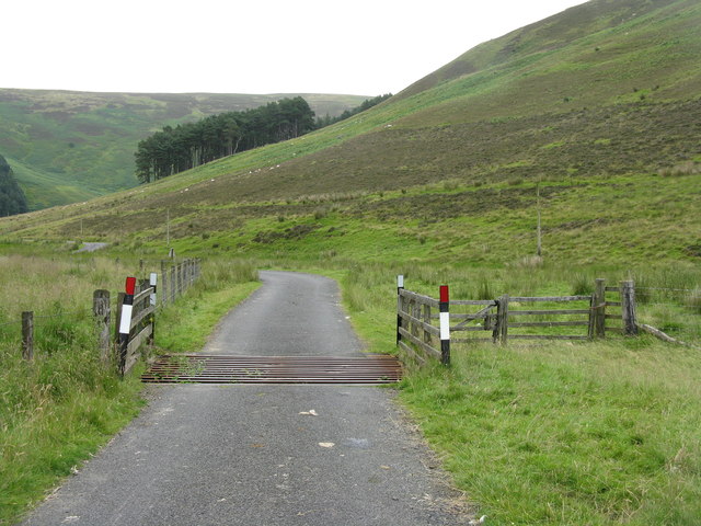
The valley also offers a range of recreational activities for outdoor enthusiasts. Hiking and walking trails crisscross the area, allowing visitors to explore the valley's beauty at their own pace. There are also opportunities for fishing in the Gimmer Burn river, which is known for its healthy trout population.
For those seeking a tranquil escape from the bustling city life, Gimmer Cleuch is the perfect destination. Its unspoiled natural beauty, diverse wildlife, and peaceful ambiance make it a haven for relaxation and rejuvenation.
If you have any feedback on the listing, please let us know in the comments section below.
Gimmer Cleuch Images
Images are sourced within 2km of 55.568514/-3.4599882 or Grid Reference NT0831. Thanks to Geograph Open Source API. All images are credited.


Gimmer Cleuch is located at Grid Ref: NT0831 (Lat: 55.568514, Lng: -3.4599882)
Unitary Authority: The Scottish Borders
Police Authority: The Lothians and Scottish Borders
What 3 Words
///unloads.elect.providing. Near Biggar, South Lanarkshire
Nearby Locations
Related Wikis
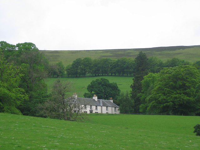
Mossfennan
Mossfennan is a small settlement in southern Scotland near Drumelzier in the Scottish Borders, in the valley of the River Tweed. Mossfennan is a wooded...
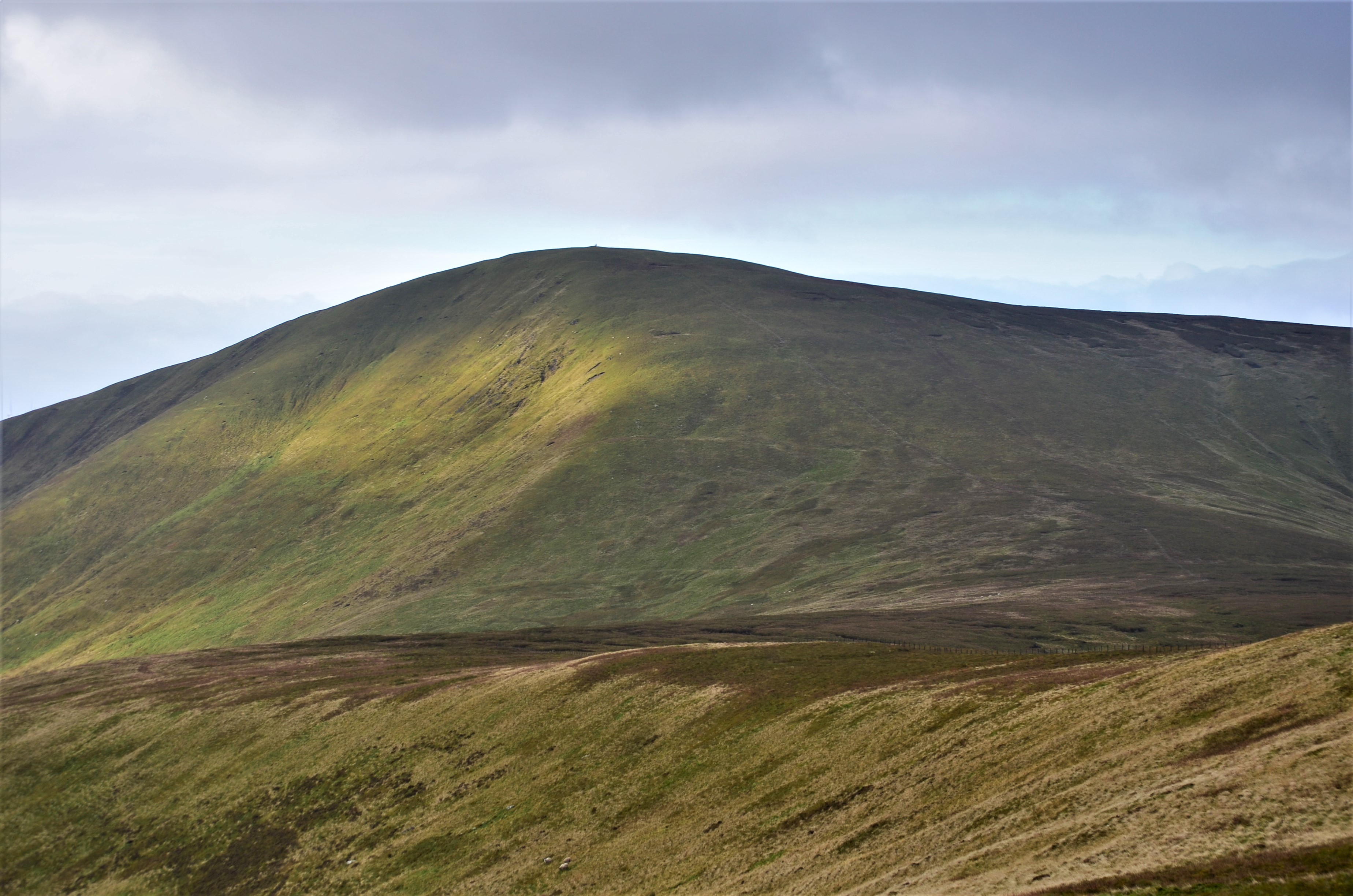
Culter Fell
Culter Fell is a hill in the Culter Hills range, part of the Southern Uplands of Scotland. It is the county top of the historic county of Lanarkshire,...
Kilbucho
Kilbucho (Scottish Gaelic: Cille Bheagha) is a small settlement in the parish of Broughton, Glenholm and Kilbucho in the Scottish Borders area of Scotland...

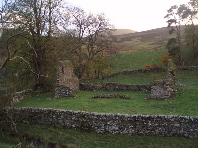
Wrae Tower
Wrae Tower is a ruined 16th-century stone tower house, located in the upper Tweed Valley in the Scottish Borders area of Scotland, and similarly south...
Nearby Amenities
Located within 500m of 55.568514,-3.4599882Have you been to Gimmer Cleuch?
Leave your review of Gimmer Cleuch below (or comments, questions and feedback).