Cwm Coetgae-drain
Valley in Brecknockshire
Wales
Cwm Coetgae-drain
Cwm Coetgae-drain is a picturesque valley located in Brecknockshire, a historic county in Wales. Nestled within the stunning landscapes of the Brecon Beacons National Park, this valley offers a tranquil and idyllic setting for nature enthusiasts and hikers alike.
The name "Cwm Coetgae-drain" translates to "Valley of the Wooded Stream" in English, aptly describing the main features of the area. The valley is characterized by its lush greenery, dense woodland, and a meandering stream that runs through it, adding to its natural beauty.
The valley is home to a diverse range of flora and fauna, with various species of trees, wildflowers, and wildlife found in abundance. Hikers can explore the numerous walking trails that wind through the valley, offering breathtaking views of the surrounding mountains and valleys.
Cwm Coetgae-drain is also known for its rich history and cultural heritage. The remnants of ancient settlements and historical landmarks can be found scattered throughout the valley, providing a glimpse into the area's past. Additionally, the valley is dotted with traditional Welsh farms and cottages, which add to its charm and authenticity.
Visitors to Cwm Coetgae-drain can enjoy a peaceful escape from the hustle and bustle of everyday life, immersing themselves in the tranquility of nature. The valley offers a perfect opportunity for outdoor activities such as hiking, birdwatching, and photography, making it an ideal destination for nature lovers and those seeking a retreat in the heart of the Welsh countryside.
If you have any feedback on the listing, please let us know in the comments section below.
Cwm Coetgae-drain Images
Images are sourced within 2km of 51.825939/-3.3424079 or Grid Reference SO0714. Thanks to Geograph Open Source API. All images are credited.
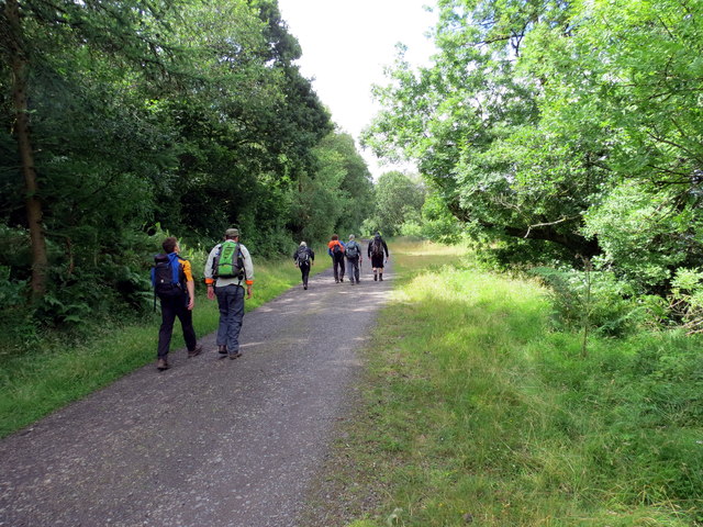
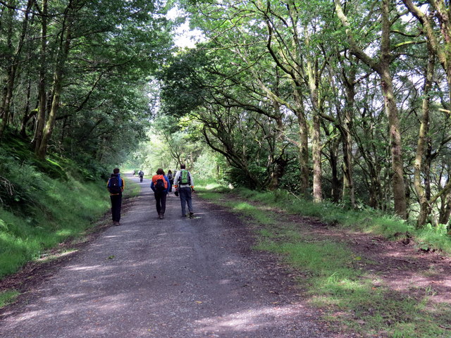


![Ger Blancallan / Near Blaencallan Cerddwyr yn dilyn hen heol i&#039;r rhostir uwchben Ffarm Blaencallan (adfail).
Walkers following an old road to the moor above the ruined Blaencallan Farm (trans. source of the Callan [stream]).](https://s2.geograph.org.uk/geophotos/05/50/51/5505174_ca7fe606.jpg)


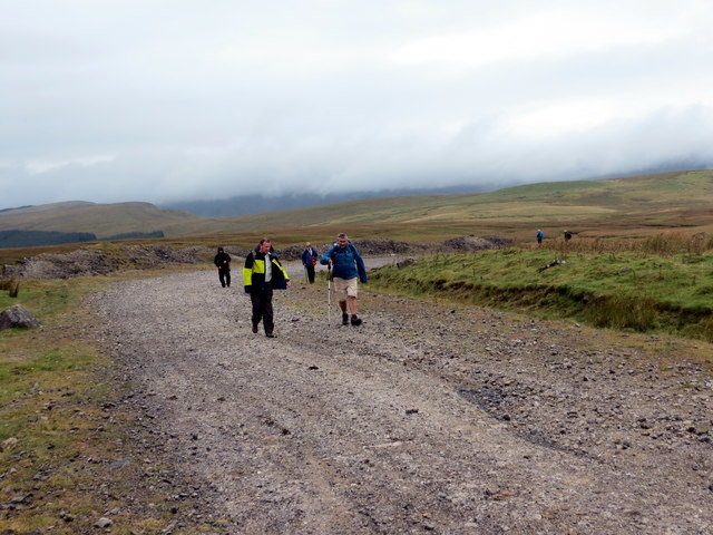
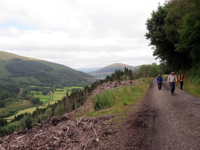
![Cwm Criban Cerddwyr yn mynd i lawr Cwm Criban.
Walkers descending Cwm Criban (trans. Criban [stream] valley).](https://s3.geograph.org.uk/geophotos/05/50/52/5505243_f71dcc31.jpg)


Cwm Coetgae-drain is located at Grid Ref: SO0714 (Lat: 51.825939, Lng: -3.3424079)
Unitary Authority: Powys
Police Authority: Dyfed Powys
What 3 Words
///lays.magnitude.butternut. Near Rhymney, Caerphilly
Nearby Locations
Related Wikis
Cefn yr Ystrad
Cefn yr Ystrad is a mountain in the Brecon Beacons National Park in Wales. It is an outlier of the Central Beacons group.The broad northeast - southwest...

Dolygaer railway station
Dolygaer railway station (alternatively, Dol-y-gaer railway station) was a station serving the hamlet of Dol-y-gaer and the area adjacent to Pen-twyn Reservoir...

Mynydd Llangynidr
Mynydd Llangynidr is a mountain in the Brecon Beacons National Park largely in the county of Powys, south Wales. Its southern slopes extend into the northernmost...

Mid Glamorgan
Mid Glamorgan (Welsh: Morgannwg Ganol) is a preserved county of Wales. From 1974 until 1996 it was also an administrative county with a county council...

Pontsticill Reservoir
Pontsticill Reservoir (Welsh: Cronfa Pontsticill) or Taf Fechan Reservoir is a large reservoir on the Taf Fechan lying partly in the county of Powys and...

Brecon Mountain Railway
The Brecon Mountain Railway (Welsh: Rheilffordd Mynydd Brycheiniog) is a 1 ft 11+3⁄4 in (603 mm) narrow gauge tourist railway on the south side of the...
Abercriban Quarries
Abercriban Quarries is a Site of Special Scientific Interest in Brecknock, Powys, Wales. The quarries are located near the village of Pontsticill, overlooking...

Torpantau railway station
Torpantau railway station is a station in the Welsh county of Brecknockshire (now in Powys), and the northern terminus of the narrow gauge Brecon Mountain...
Have you been to Cwm Coetgae-drain?
Leave your review of Cwm Coetgae-drain below (or comments, questions and feedback).