Nant y Prŷf

Valley in Denbighshire

Wales

Nant y Prŷf

Pen-y-garth farmhouse Not a farm anymore. At the end of a long lane. In a square with a Footpath, Other Route With Public Access and a Bridleway. Great views of the Vale of Clwyd from here.
Pen-y-garth farmhouse Credit: Joseph Jones

Nant y Prŷf is a picturesque valley located in the county of Denbighshire, Wales. Situated in the heart of the Clwydian Range Area of Outstanding Natural Beauty, it is known for its stunning landscapes and rich biodiversity.

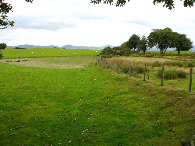
The valley is characterized by gently rolling hills, lush green meadows, and dense woodlands. It is crisscrossed by a network of streams and rivers, including the Afon Clwyd, which flows through the heart of the valley. The river has carved deep valleys and gorges, creating a dramatic and scenic landscape.

Nant y Prŷf is a haven for wildlife enthusiasts and nature lovers. The valley is home to a wide variety of flora and fauna, including rare species such as the red kite and the lesser horseshoe bat. Visitors can often spot these creatures as they explore the numerous walking trails that wind through the valley.

The area also boasts a rich cultural heritage. There are several ancient monuments and historic sites scattered throughout the valley, including ancient hillforts and burial mounds. These sites provide a glimpse into the area's past and offer a fascinating insight into the lives of its inhabitants over the centuries.

Nant y Prŷf is a popular destination for outdoor activities such as hiking, cycling, and birdwatching. The valley offers breathtaking views and a peaceful atmosphere, making it an ideal location for those seeking a tranquil escape in the heart of nature. Whether exploring the diverse wildlife or immersing oneself in the valley's rich history, Nant y Prŷf provides a captivating and memorable experience for all who visit.

If you have any feedback on the listing, please let us know in the comments section below.
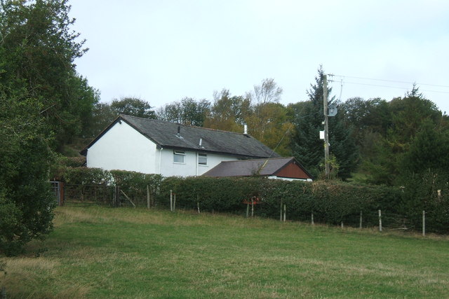
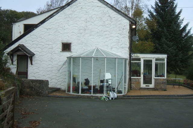
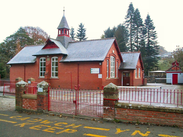
Nant y Prŷf Images

Images are sourced within 2km of 53.13177/-3.3916431 or Grid Reference SJ0660. Thanks to Geograph Open Source API. All images are credited.

Pen-y-garth farmhouse Not a farm anymore. At the end of a long lane. In a square with a Footpath, Other Route With Public Access and a Bridleway. Great views of the Vale of Clwyd from here.
Pen-y-garth farmhouse
Not a farm anymore. At the end of a long lane. In a square with a Footpath, Other Route With Public Access and a Bridleway. Great views of the Vale of Clwyd from here.
Pen-y-garth - farmhouse
Marked on the OS Map as Llyn Gloyw The lake was completely dried up when I passed by!  The Clwydian Hills are on the horizon.
Marked on the OS Map as Llyn Gloyw
The lake was completely dried up when I passed by! The Clwydian Hills are on the horizon.
Cattle grid, stile and footpath sign For a footpath towards Cyffylliog.
Cattle grid, stile and footpath sign
For a footpath towards Cyffylliog.
Little used minor lane near Garreg-y-gath
Grazing land and woodland south of Bryn Gronwy Further down in the Vale of Clwyd is the town of Denbigh and on a clear day, some 14 miles away, the coast at Prestatyn can be seen.
Grazing land and woodland south of Bryn Gronwy
Further down in the Vale of Clwyd is the town of Denbigh and on a clear day, some 14 miles away, the coast at Prestatyn can be seen.
Farmland and woodland in Denbighshire
Pasture and woodland north of Wern-Shade
Hedge and tree-lined minor road near Sceibion Bach Looking south-westward.
Hedge and tree-lined minor road near Sceibion Bach
Looking south-westward.
A section of tree-lined minor road between Sceibion Bach and Ysgeibion Farm Looking south-westward.
A section of tree-lined minor road between Sceibion Bach and Ysgeibion Farm
Looking south-westward.
Sceibion Bach Mist still hangs in the frozen valley where Sceibion Bach Farm nestles in the grey dawn.
Sceibion Bach
Mist still hangs in the frozen valley where Sceibion Bach Farm nestles in the grey dawn.
Cattle Grid by Rabbit Warren Hill The lane from Sceibion Bach in the middle distance climbs to this point, where a cattle grid keeps the sheep grazing on Rabbit Warren Hill (behind shot) from straying away.
Cattle Grid by Rabbit Warren Hill
The lane from Sceibion Bach in the middle distance climbs to this point, where a cattle grid keeps the sheep grazing on Rabbit Warren Hill (behind shot) from straying away.
Carreg Y Gath Although the OS map shows vehicle access from Sceibion Bach to Carreg Y Gath, a gate blocks further progress beyond this point, a couple of hundred yards short of the metalled road.
Carreg Y Gath
Although the OS map shows vehicle access from Sceibion Bach to Carreg Y Gath, a gate blocks further progress beyond this point, a couple of hundred yards short of the metalled road.
Ysgeibion Looking south from the T junction at Ysgeibion, towards the un-named farm further down the lane.
Ysgeibion
Looking south from the T junction at Ysgeibion, towards the un-named farm further down the lane.
Gwern-y-Gadfa A very attractive farmhouse totally overshadowed by a huge shed, probably for cattle. Taken from the minor road which goes over the hills from Cyffylliog to Saron.
Gwern-y-Gadfa
A very attractive farmhouse totally overshadowed by a huge shed, probably for cattle. Taken from the minor road which goes over the hills from Cyffylliog to Saron.
Countryside near Bontuchel The farming here is mostly cattle and sheep, and the farm land is a patchwork of small fields.
Countryside near Bontuchel
The farming here is mostly cattle and sheep, and the farm land is a patchwork of small fields.
Woodland walk A welcome shade from the hot sun, this small woodland is in the old tything of  Ysgeibion
Woodland walk
A welcome shade from the hot sun, this small woodland is in the old tything of Ysgeibion
Native bluebells, Ysgeibion
Show me another place!

Nant y Prŷf is located at Grid Ref: SJ0660 (Lat: 53.13177, Lng: -3.3916431)

Unitary Authority: Denbighshire

Police Authority: North Wales

What 3 Words

///sweep.winds.this. Near Ruthin, Denbighshire

Related Wikis

Coed Nant Mawr

Coed Nant Mawr is a Site of Special Scientific Interest in the preserved county of Clwyd, north Wales. It is near to the town of Denbigh. The site is protected...

Cyffylliog

Cyffylliog (also Y Gyffylliog in Welsh) is a village and community in Denbighshire, Wales. It is situated to the west of Ruthin on the banks of the River...

Bontuchel

Bontuchel is a hamlet in Denbighshire, Wales, located 2.8 miles (4.5 km) by road west of Ruthin. The father of Calvinist Isaac Hughes hailed from Bontuchel...

St Dyfnog's Church, Llanrhaeadr

The Church of St Dyfnog, Llanrhaeadr-yng-Nghinmeirch, Denbighshire, Wales, is a parish church dating from the 13th century. The church is most famous for...

Nearby Amenities

Located within 500m of 53.13177,-3.3916431
Power: pole
Lat/Long: 53.1305625/-3.3988175
Power: pole
Lat/Long: 53.1308844/-3.3980869
Power: pole
Lat/Long: 53.1312155/-3.3973294
Power: pole
Lat/Long: 53.1316804/-3.39632
Power: pole
Lat/Long: 53.1319203/-3.3957682
Direction: ENE
Generator Method: photovoltaic
Generator Output Electricity: yes
Generator Solar Modules: 12
Generator Source: solar
Generator Type: solar_photovoltaic_panel
Location: roof
Power: generator
Lat/Long: 53.1316974/-3.3956431
Direction: WSW
Generator Method: photovoltaic
Generator Output Electricity: yes
Generator Solar Modules: 28
Generator Source: solar
Generator Type: solar_photovoltaic_panel
Location: roof
Power: generator
Lat/Long: 53.131629/-3.3956766
The data included in this document is from www.openstreetmap.org. The data is made available under ODbL.

Have you been to Nant y Prŷf?

Leave your review of Nant y Prŷf below (or comments, questions and feedback).