Copeland Gill

Valley in Cumberland Allerdale

England

Copeland Gill

Mabel Wood Close A new development in Great Clifton.
Mabel Wood Close Credit: Russel Wills

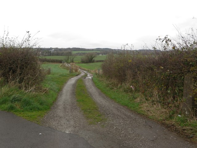
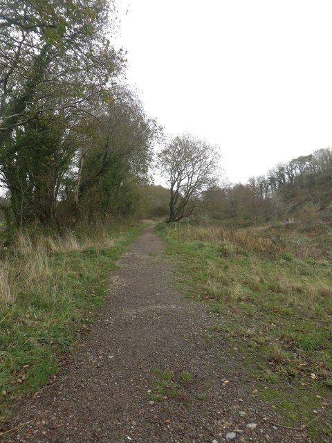
Copeland Gill is a picturesque valley located in the Lake District National Park in Cumbria, England. Situated in the western part of the county, it lies within the Copeland district, hence its name. The valley is surrounded by stunning natural beauty, with rolling hills, lush greenery, and breathtaking views of the surrounding mountains.

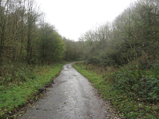
Cumberland (Valley) is a popular destination for outdoor enthusiasts and nature lovers. The valley offers a range of activities, including hiking, walking, and climbing. There are numerous trails and paths that crisscross the area, allowing visitors to explore the valley and take in its stunning scenery. The valley is home to a diverse range of flora and fauna, making it a haven for wildlife enthusiasts.

Copeland Gill itself is a small stream that flows through the valley, adding to its charm. The gill is known for its crystal-clear waters and is a popular spot for fishing and picnicking. The peaceful sound of the flowing water creates a serene atmosphere, making it an ideal place for relaxation and tranquility.

In addition to its natural beauty, Copeland Gill is also steeped in history. The valley is dotted with ancient ruins and archaeological sites, providing a glimpse into the area's past. Visitors can explore these sites and learn about the rich history and heritage of the valley.

Overall, Copeland Gill, Cumberland (Valley) is a hidden gem in the Lake District National Park. Its breathtaking landscapes, outdoor activities, and historical significance make it a must-visit destination for anyone seeking to immerse themselves in the beauty of the English countryside.

If you have any feedback on the listing, please let us know in the comments section below.

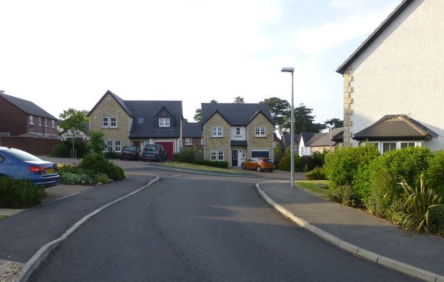
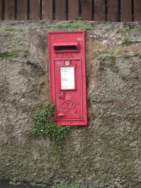
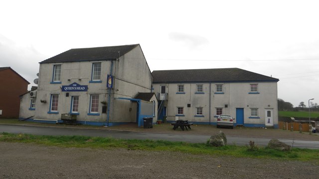
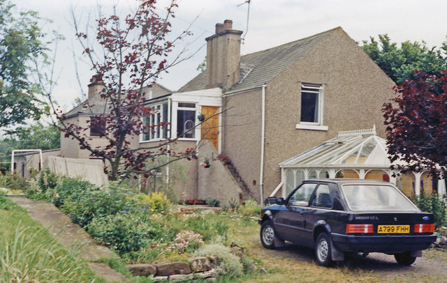
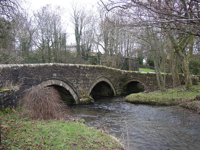
Copeland Gill Images

Images are sourced within 2km of 54.666006/-3.4857429 or Grid Reference NY0431. Thanks to Geograph Open Source API. All images are credited.

Mabel Wood Close A new development in Great Clifton.
Mabel Wood Close
A new development in Great Clifton.
Play park on William Street With a memorial to all the miners who worked in local coal mines.
Play park on William Street
With a memorial to all the miners who worked in local coal mines.
Approaching Great Clifton Approaching the village of Great Clifton along the footpath from Little Clifton.
Approaching Great Clifton
Approaching the village of Great Clifton along the footpath from Little Clifton.
The Old Ginn House, Great Clifton The Old Gin House is a pub and hotel located in the centre of Great Clifton.
The Old Ginn House, Great Clifton
The Old Gin House is a pub and hotel located in the centre of Great Clifton.
Post box, Great Clifton A post box located in a garden wall in the centre of Great Clifton.
Post box, Great Clifton
A post box located in a garden wall in the centre of Great Clifton.
The Gavels, Great Clifton A residential street of terraced houses in Great Clifton.
The Gavels, Great Clifton
A residential street of terraced houses in Great Clifton.
The Market Cross Free House, Great Clifton The Market Cross, a small pub in the middle of Great Clifton.
The Market Cross Free House, Great Clifton
The Market Cross, a small pub in the middle of Great Clifton.
Playground, Great Clifton An assortment of play equipment in an enclosed grassed area on the edge of Great Clifton.
Playground, Great Clifton
An assortment of play equipment in an enclosed grassed area on the edge of Great Clifton.
Former Board School, Great Clifton The former Great and Little Clifton Board School. It is now a private house. An inscribed stone <a href="https://www.geograph.org.uk/photo/4252638">NY0429 : Inscribed stone, former Board School in Great Clifton</a> in the right hand gable dates the building to 1883.
Former Board School, Great Clifton
The former Great and Little Clifton Board School. It is now a private house. An inscribed stone NY0429 : Inscribed stone, former Board School in Great Clifton in the right hand gable dates the building to 1883.
Inscribed stone, former Board School in Great Clifton An inscribed stone above the right hand gable in <a href="https://www.geograph.org.uk/photo/4252631">NY0429 : Former Board School, Great Clifton</a>. The building is now a private house, having been converted from a former school. The inscription reads:
GREAT AND LITTLE CLIFTON 
BOARD SCHOOL ERECTED 1883.
Inscribed stone, former Board School in Great Clifton
An inscribed stone above the right hand gable in NY0429 : Former Board School, Great Clifton. The building is now a private house, having been converted from a former school. The inscription reads: GREAT AND LITTLE CLIFTON BOARD SCHOOL ERECTED 1883.
The Queens Head, Great Clifton One of 3 pubs in the village of Great Clifton. It looks as if it is closed however.
The Queens Head, Great Clifton
One of 3 pubs in the village of Great Clifton. It looks as if it is closed however.
Camerton station (remains), 1986 View eastward, towards Cockermouth and Penrith: ex-LNW Workington - Cockermouth - Penrith line. The line was closed - quite wrongly it is now believed - from 18/4/66, but the station had gone from 3/3/52 so all that can be seen here is some platform. The house on the right with the Ford Cortina might have been the station house, but if so it has been altered.
Camerton station (remains), 1986
View eastward, towards Cockermouth and Penrith: ex-LNW Workington - Cockermouth - Penrith line. The line was closed - quite wrongly it is now believed - from 18/4/66, but the station had gone from 3/3/52 so all that can be seen here is some platform. The house on the right with the Ford Cortina might have been the station house, but if so it has been altered.
Arable field north of Great Clifton An arable field between Great Clifton and the River Eden. A winter cereal crop has been sown in the field.
Arable field north of Great Clifton
An arable field between Great Clifton and the River Eden. A winter cereal crop has been sown in the field.
Farm track near Great Clifton A farm track to the north of Great Clifton providing access to arable fields.
Farm track near Great Clifton
A farm track to the north of Great Clifton providing access to arable fields.
Footpath between Great Clifton and Camerton Looking along the road from Great Clifton to the River Derwent which is also a footpath connecting the village with Camerton across the River Eden.
Footpath between Great Clifton and Camerton
Looking along the road from Great Clifton to the River Derwent which is also a footpath connecting the village with Camerton across the River Eden.
Looking along the River Eden from Camerton Bridge Looking upstream along the River Eden from Camerton Bridge.
Looking along the River Eden from Camerton Bridge
Looking upstream along the River Eden from Camerton Bridge.
Camerton Bridge The footbridge carries a path between Great Clifton and Camerton over the River Eden. A former bridge on the site <a href="https://www.geograph.org.uk/photo/567711">NY0330 : Footbridge over River Derwent</a> was washed away by the floods of November 2009. The new bridge was opened in December 2012. <span class="nowrap"><a title="http://www.timesandstar.co.uk/news/other/new-camerton-bridge-is-putting-communities-back-together-1.1022190" rel="nofollow ugc noopener" href="http://www.timesandstar.co.uk/news/other/new-camerton-bridge-is-putting-communities-back-together-1.1022190">Link</a><img style="margin-left:2px;" alt="External link" title="External link - shift click to open in new window" src="https://s1.geograph.org.uk/img/external.png" width="10" height="10"/></span>
Camerton Bridge
The footbridge carries a path between Great Clifton and Camerton over the River Eden. A former bridge on the site NY0330 : Footbridge over River Derwent was washed away by the floods of November 2009. The new bridge was opened in December 2012. LinkExternal link
Footpath alongside the River Eden A well made footpath connecting the footbridge over the River Eden with Camerton.
Footpath alongside the River Eden
A well made footpath connecting the footbridge over the River Eden with Camerton.
Show me another place!

Copeland Gill is located at Grid Ref: NY0431 (Lat: 54.666006, Lng: -3.4857429)

Administrative County: Cumbria

District: Allerdale

Police Authority: Cumbria

What 3 Words

///aboard.gentlemen.prelude. Near Flimby, Cumbria

Related Wikis

Camerton, Cumbria

Camerton is a small village and civil parish in Cumbria, historically part of Cumberland, near the Lake District National Park in England. According to...

Camerton Colliery Halt railway station

Camerton Colliery Halt railway station was an unadvertised halt for workers at one or both of the collieries at Camerton, near Cockermouth in Cumberland...

Camerton railway station (Cumberland)

Camerton railway station was situated next to the River Derwent on the Cockermouth and Workington Railway. It served the village of Camerton, Cumberland...

RNAD Broughton Moor

RNAD Broughton Moor is a decommissioned Royal Naval Armaments Depot located between Great Broughton and Broughton Moor in the County of Cumbria, England...

St Peter's Church, Camerton

St Peter's Church, Camerton is the Church of England parish church of Camerton, Cumbria. It is about 1⁄2 mile (800 m) south of the village. == History... ==

Buckhill Colliery Halt railway station

Buckhill Colliery Halt railway station was an unadvertised halt for workers at Buckhill Colliery north east of Camerton, near Cockermouth in Cumberland...

Marron Junction railway station

Marron Junction railway station was a later addition to the Cockermouth and Workington Railway. It opened on 2 April 1866 with a single, eastbound, platform...
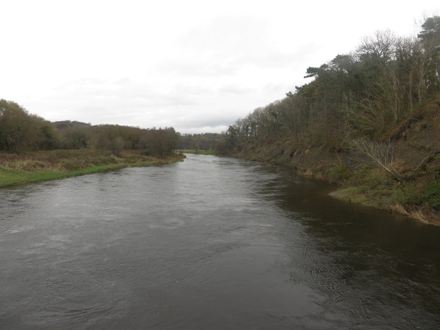
River Marron

The River Marron is a river of Cumbria, England. Rising near the village of Asby, Copeland at the confluence of Colliergate Beck and Scallow Beck, the...

Nearby Amenities

Located within 500m of 54.666006,-3.4857429
Bench
Lat/Long: 54.6645786/-3.4930983
Power: pole
Lat/Long: 54.6639192/-3.4922614
Power: pole
Lat/Long: 54.6619324/-3.4832724
Power: pole
Lat/Long: 54.6622528/-3.4847007
Power: pole
Lat/Long: 54.6626317/-3.4863129
Power: pole
Lat/Long: 54.6623627/-3.4877328
Power: pole
Lat/Long: 54.6621129/-3.4891404
The data included in this document is from www.openstreetmap.org. The data is made available under ODbL.

Have you been to Copeland Gill?

Leave your review of Copeland Gill below (or comments, questions and feedback).