Langley Vale
Settlement in Surrey Epsom and Ewell
England
Langley Vale
Langley Vale is a small village located in the county of Surrey, England. Situated approximately 3 miles east of Epsom, it is nestled in the beautiful North Downs, offering stunning views of the surrounding countryside. The village is part of the Epsom and Ewell district.
Langley Vale is known for its rich historical heritage. It was originally a settlement dating back to the medieval times, and evidence of this can still be seen in the form of ancient buildings and structures that dot the landscape. The village church, St. Peter's, is a notable example of medieval architecture, with its imposing tower and intricate stained glass windows.
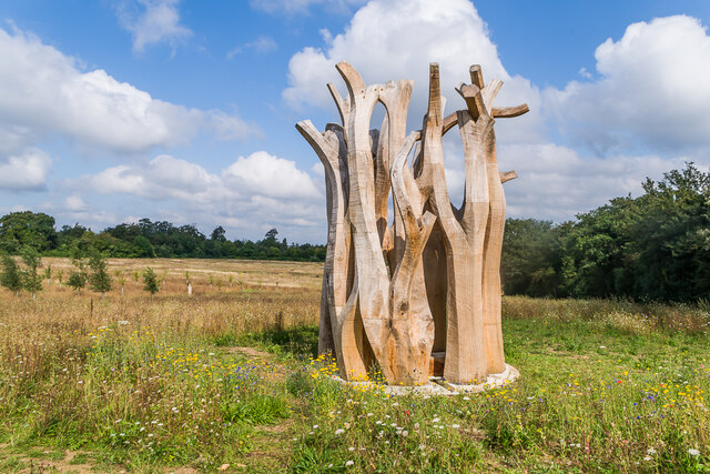
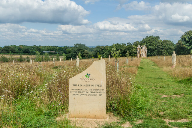
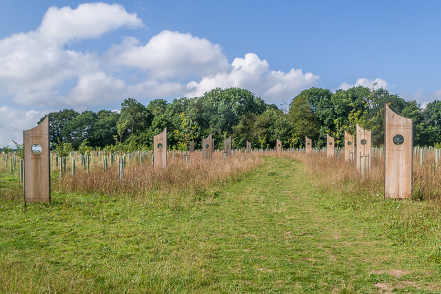
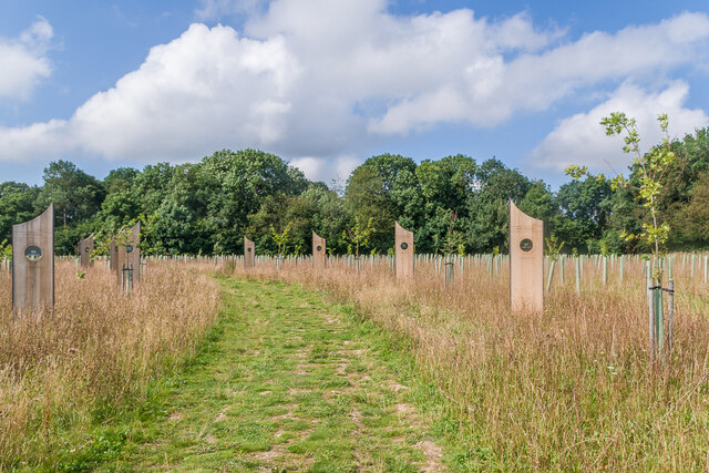
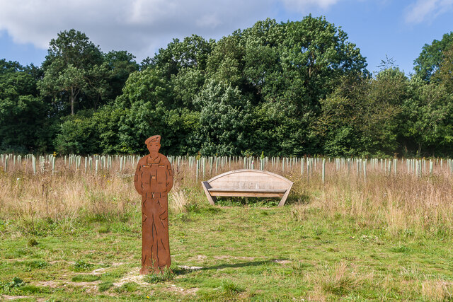
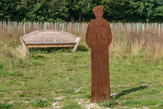
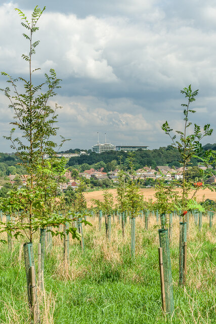
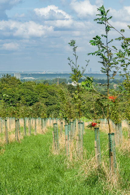
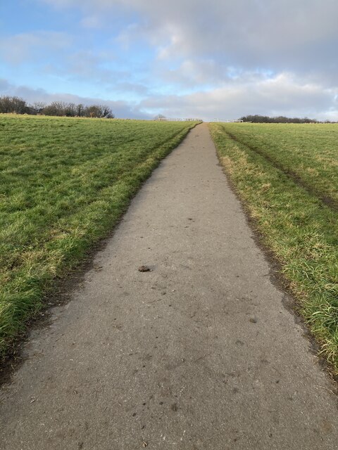
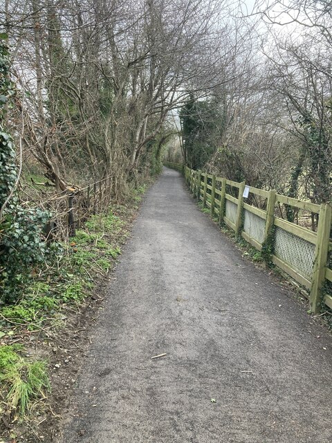
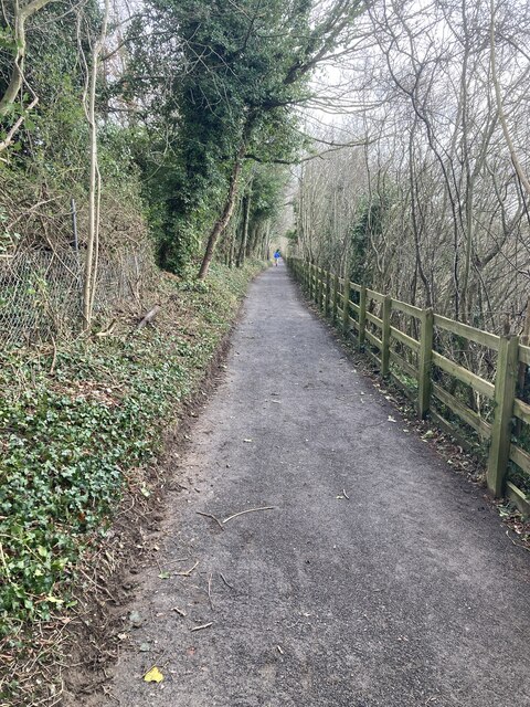
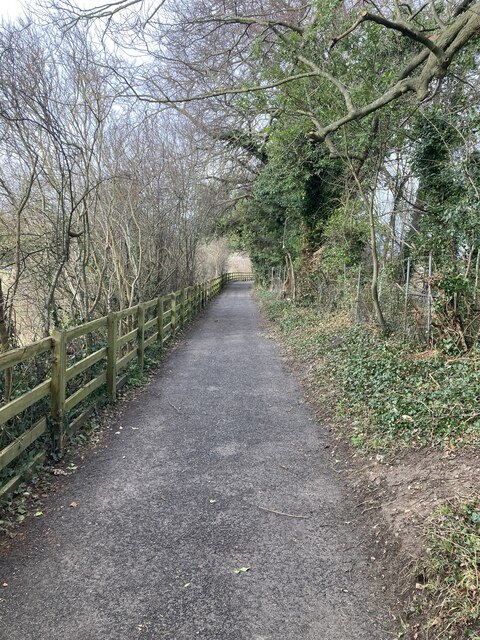
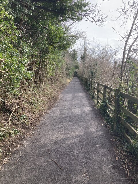
The area is also renowned for its natural beauty and tranquility. Langley Vale is surrounded by lush green fields, woodlands, and rolling hills, making it an ideal place for outdoor activities such as walking, hiking, and horse riding. The nearby Langley Vale Wood is a designated nature reserve, home to a variety of flora and fauna, including bluebells, woodpeckers, and butterflies.
Despite its rural charm, Langley Vale is conveniently located close to major transport links. The A24 road runs nearby, connecting the village to London and other major towns in the region. The nearby towns of Epsom and Leatherhead offer a range of amenities, including shops, restaurants, and schools.
Overall, Langley Vale is a picturesque village that offers a peaceful retreat from the hustle and bustle of city life, while still providing easy access to urban conveniences.
If you have any feedback on the listing, please let us know in the comments section below.
Langley Vale Images
Images are sourced within 2km of 51.304922/-0.25624 or Grid Reference TQ2157. Thanks to Geograph Open Source API. All images are credited.


Langley Vale is located at Grid Ref: TQ2157 (Lat: 51.304922, Lng: -0.25624)
Administrative County: Surrey
District: Epsom and Ewell
Police Authority: Surrey
What 3 Words
///ruby.curiosity.whips. Near Tadworth, Surrey
Nearby Locations
Related Wikis

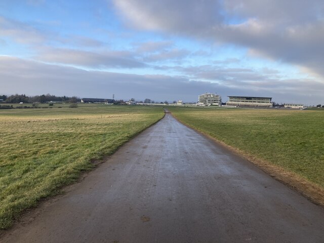
Epsom Downs Racecourse
Epsom Downs is a Grade 1 racecourse in a hilly area near Epsom in Surrey, England which is used for thoroughbred horse racing. The "Downs" referred to...

Langley Vale
Langley Vale is a village in the Borough of Epsom and Ewell, in Surrey, England, approximately 15 miles (24 km) south of central London. As its name suggests...
Copthorne Hundred
Copthorne was a hundred of Surrey, England, an area above the level of the parishes and manors, where the local wise, wealthy and powerful met periodically...

Tattenham Corner
Tattenham Corner is in north Surrey, England, the name is principally associated with Epsom Racecourse. The railway station of the same name is in the...
Related Videos

Tilly’s At Home Holiday by Gillian Hibbs
Published by ©️Child's Play Read aloud by Mrs Hams We do not own the copyright of this book.

Epsom Betfred Derby Day 2023 Walking Tour - 4K, HDR, Binaural
After going Live in HD on Ladies Day on Friday we're back for the Betfred Derby on the Saturday, this time in beautiful 4K.
Walking From Tadworth to Tattenham Corner - Slow TV in 4K HDR
Today we're going on a residential walk from Tadworth, past the Rail Station and then along some interesting roads before ending ...

Hiking around Epsom Downs, Surrey with the GoPro Hero 7 Black
Went for a very nice 10KM hike around the beautiful Surrey Countryside, starting and finishing at Epsom Downs Race Course.
Nearby Amenities
Located within 500m of 51.304922,-0.25624Have you been to Langley Vale?
Leave your review of Langley Vale below (or comments, questions and feedback).