Ceunant Ffinnant
Valley in Montgomeryshire
Wales
Ceunant Ffinnant
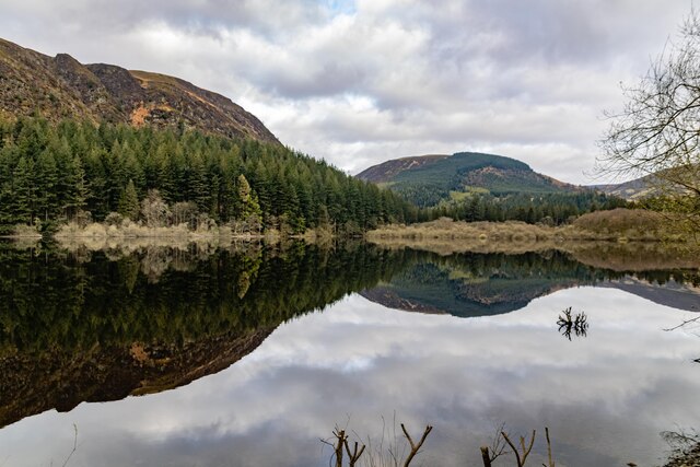
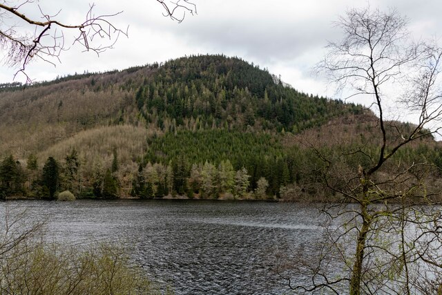
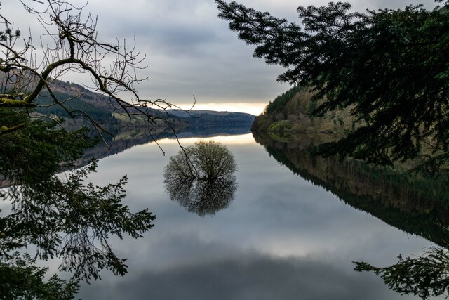
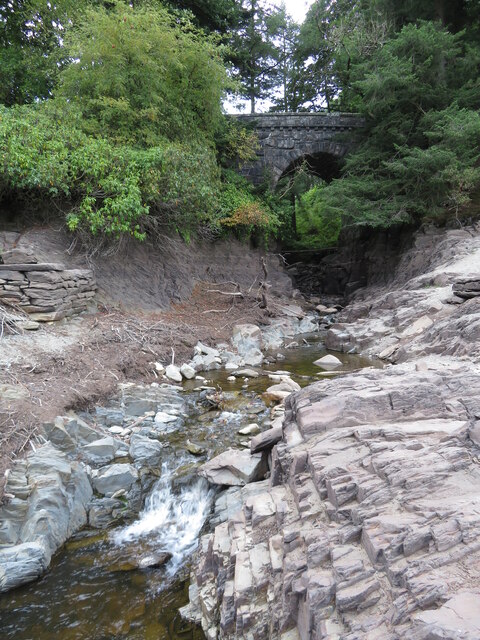
Ceunant Ffinnant is a stunning valley located in Montgomeryshire, Wales. Nestled within the magnificent Cambrian Mountains, this valley is renowned for its natural beauty and picturesque landscapes. The name Ceunant Ffinnant translates to "the valley of the stream's ravine," which perfectly describes its geographical features.
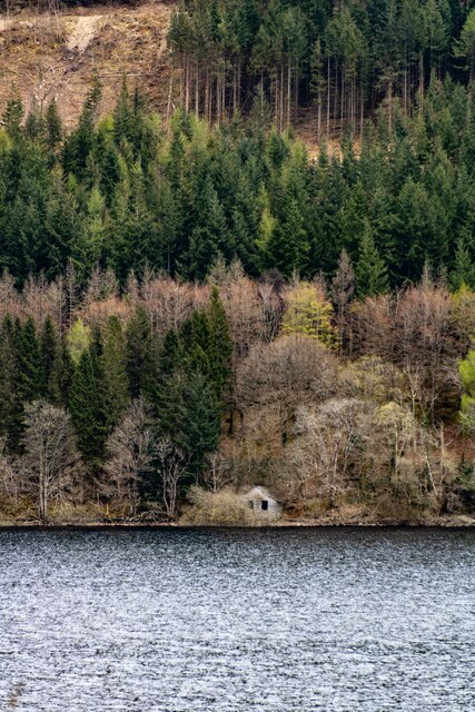
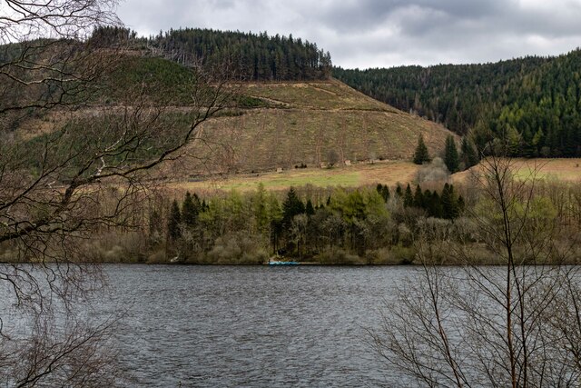
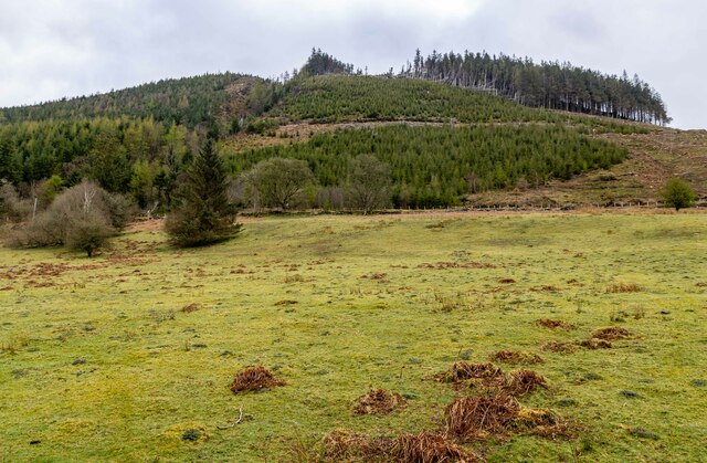
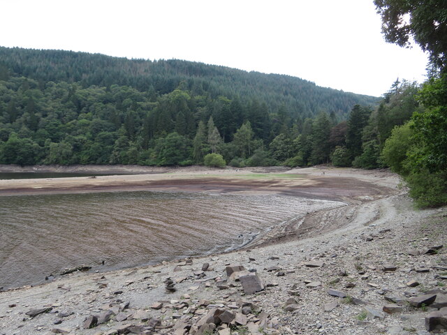
The valley is characterized by lush green meadows, rolling hillsides, and dense woodlands, making it a haven for nature enthusiasts and hikers. The meandering Ffinnant stream flows through the valley, adding to its charm and attracting a variety of wildlife, including otters, birds, and butterflies.
Ceunant Ffinnant is also known for its rich history and cultural heritage. The remains of ancient settlements and stone circles can be found in the surrounding areas, providing a glimpse into the region's past. The valley has long been a source of inspiration for artists and writers, who often seek solace and creative inspiration in its serene surroundings.
Visitors to Ceunant Ffinnant can enjoy a range of outdoor activities, such as hiking, birdwatching, and picnicking. The valley offers several well-maintained walking trails, allowing visitors to explore its hidden gems and breathtaking viewpoints.
With its natural beauty, historical significance, and tranquil atmosphere, Ceunant Ffinnant is a must-visit destination for those seeking a peaceful retreat in the heart of Montgomeryshire. Whether you're an avid hiker, nature lover, or history enthusiast, this valley promises to leave you awe-inspired and rejuvenated.
If you have any feedback on the listing, please let us know in the comments section below.
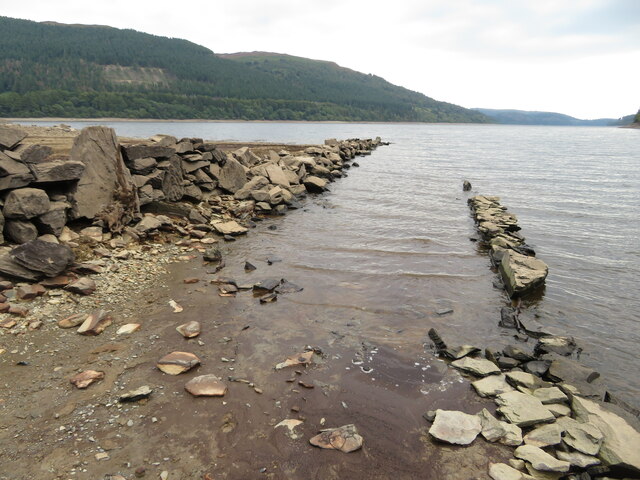
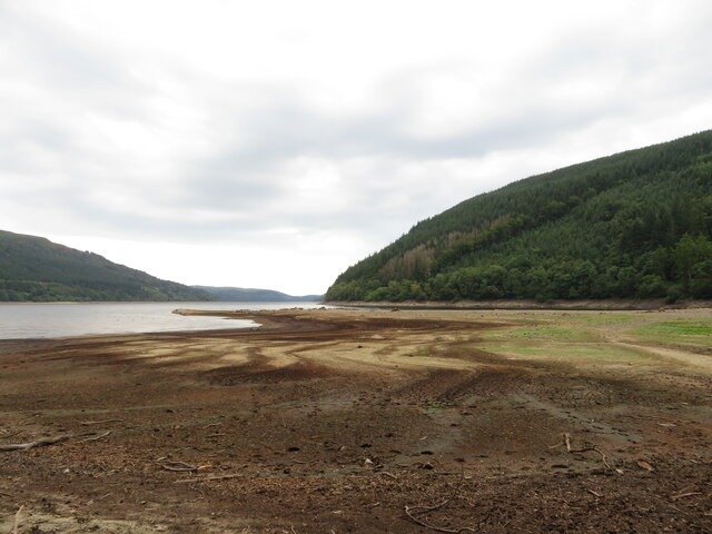
Ceunant Ffinnant Images
Images are sourced within 2km of 52.791096/-3.5148822 or Grid Reference SH9722. Thanks to Geograph Open Source API. All images are credited.


Ceunant Ffinnant is located at Grid Ref: SH9722 (Lat: 52.791096, Lng: -3.5148822)
Unitary Authority: Powys
Police Authority: Dyfed Powys
What 3 Words
///stole.scoop.rash. Near Llangynog, Powys
Nearby Locations
Related Wikis
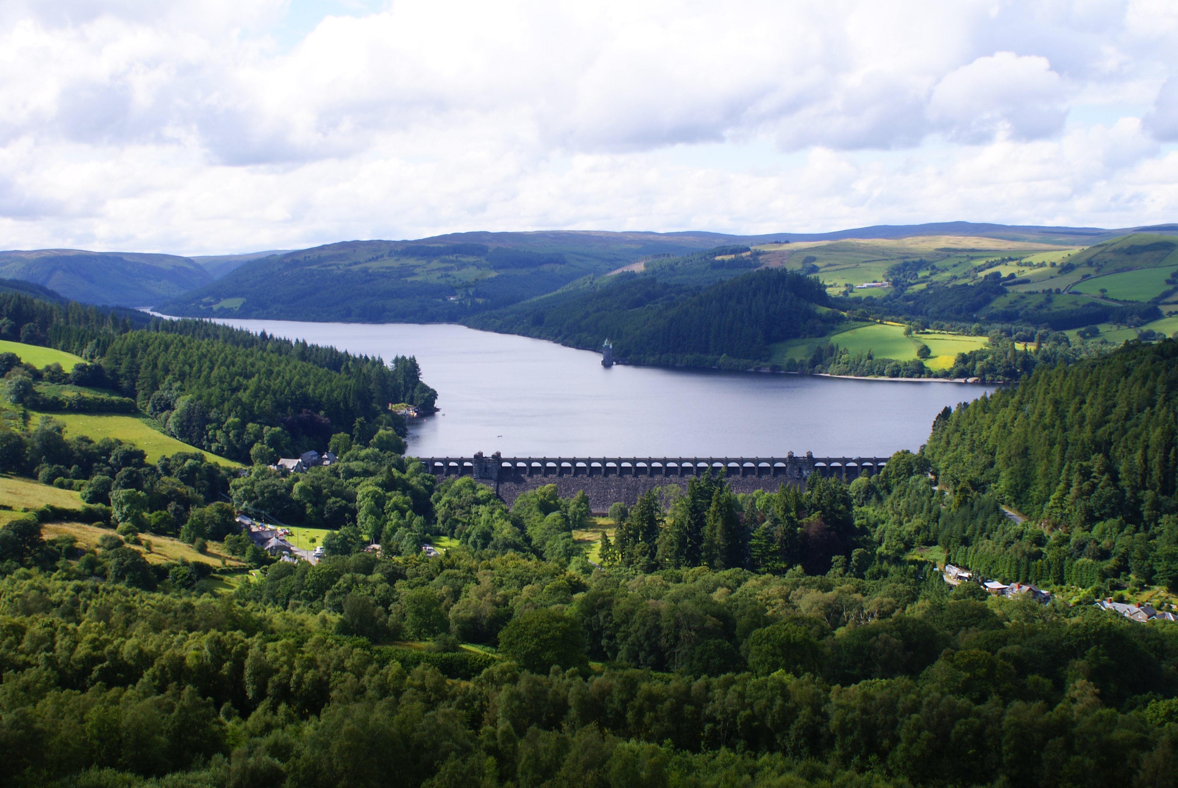
Lake Vyrnwy
Lake Vyrnwy (Welsh: Llyn Efyrnwy, pronounced [ɛˈvərnʊɨ] or Llyn Llanwddyn) is a reservoir in Powys, Wales, built in the 1880s for Liverpool Corporation...

Rhiwargor
Rhiwargor is a hamlet in Powys, Wales. It is located north of Lake Vyrnwy. The hamlet is made up of a few houses with no amenities. It does however, lie...

Lake Vyrnwy Straining Tower
The Straining Tower at Lake Vyrnwy is an intake tower built to extract water from the lake. The tower stands on the north shore of Lake Vyrnwy, near the...

Llanwddyn
Llanwddyn () is a village and community in Montgomeryshire, Powys, Wales. The community is centred on the Lake Vyrnwy reservoir. The original Llanwddyn...

St Melangell's Church, Pennant Melangell
St Melangell's Church, Pennant Melangell, is a small church located on a minor road which joins the B4391 near the village of Llangynog, Powys, Wales....

Foel y Geifr
Foel y Geifr is a subsidiary summit of Esgeiriau Gwynion, and included in a group of hills known as the Hirnantau. These hills rise from the south east...

Abertridwr, Powys
Abertridwr () is a small village in the historic county of Montgomeryshire in the north of Powys and close to Lake Vyrnwy in the community (civil parish...

Bwlch y Groes
Bwlch y Groes (translates from Welsh as pass of the cross) is the second highest public road mountain pass in Wales, with a summit altitude of 545 metres...
Nearby Amenities
Located within 500m of 52.791096,-3.5148822Have you been to Ceunant Ffinnant?
Leave your review of Ceunant Ffinnant below (or comments, questions and feedback).