Coire nan Cisteachan

Valley in Perthshire

Scotland

Coire nan Cisteachan

Trig Pillar on Carn nan Gabhar The true summit of the Munro is marked by a large cairn further along the ridge behind this point.
Trig Pillar on Carn nan Gabhar Credit: Iain Russell

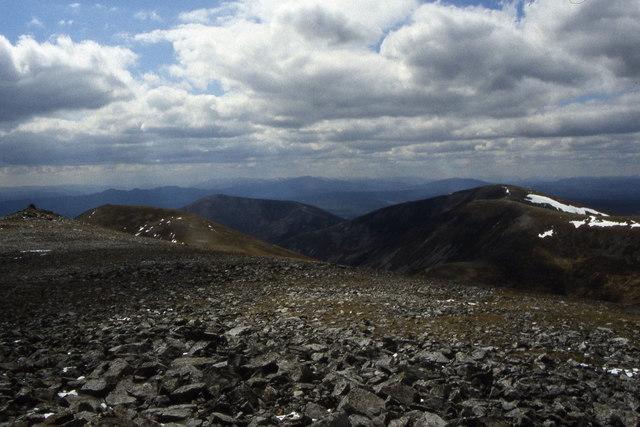
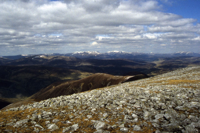
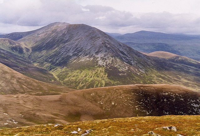
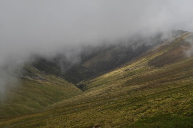
Coire nan Cisteachan is a picturesque valley located in Perthshire, Scotland. Nestled amidst the stunning Scottish Highlands, this natural wonder is a popular destination for outdoor enthusiasts and nature lovers alike.

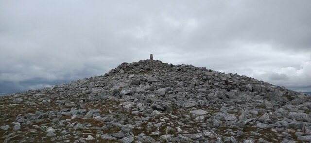
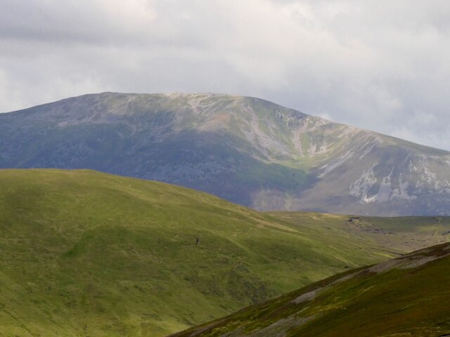
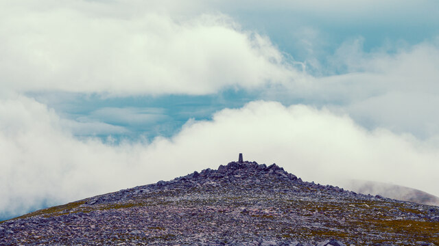
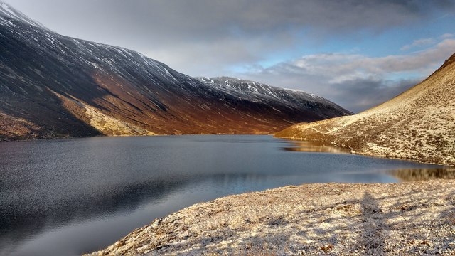
The valley is characterized by its rugged and dramatic landscape, featuring towering mountains, steep cliffs, and deep gorges. The centerpiece of Coire nan Cisteachan is the River Tummel, which flows through the valley, adding to its charm and beauty. The river is known for its crystal-clear waters and is a haven for fishing enthusiasts, attracting anglers from far and wide.

The valley is home to a diverse range of flora and fauna, including rare and protected species. Visitors can spot various wildlife such as red deer, golden eagles, and peregrine falcons, making it a paradise for birdwatching and wildlife photography.

Coire nan Cisteachan offers a multitude of outdoor activities for visitors to enjoy. Hiking and walking trails crisscross the valley, allowing adventurers to explore its breathtaking vistas and discover hidden gems along the way. The area also offers opportunities for mountain biking, rock climbing, and even white-water rafting for those seeking a more adrenaline-fueled experience.

For those looking for a more relaxed experience, the valley provides ample opportunities for picnicking, photography, and simply immersing oneself in the tranquility of nature. Visitors can also explore nearby attractions such as the iconic Loch Tummel, where they can indulge in watersports or simply soak in the stunning views.

Overall, Coire nan Cisteachan in Perthshire is a captivating valley that offers a perfect blend of natural beauty, outdoor adventures, and a serene atmosphere, making it an ideal destination for nature enthusiasts and anyone seeking a peaceful escape from the hustle and bustle of everyday life.

If you have any feedback on the listing, please let us know in the comments section below.

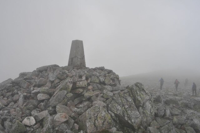
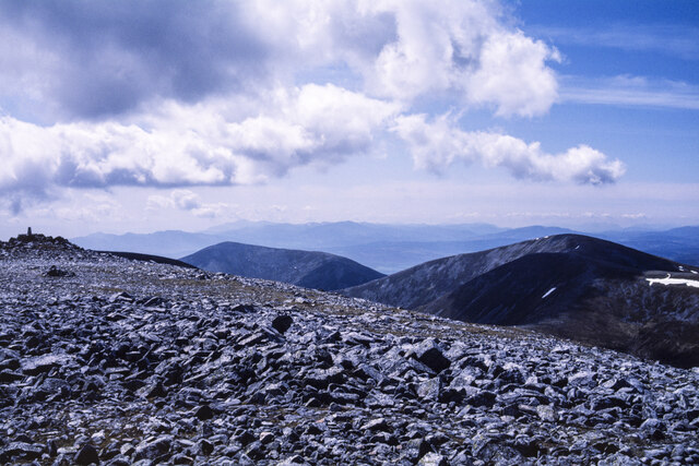
Coire nan Cisteachan Images

Images are sourced within 2km of 56.836448/-3.6792782 or Grid Reference NN9772. Thanks to Geograph Open Source API. All images are credited.

Trig Pillar on Carn nan Gabhar The true summit of the Munro is marked by a large cairn further along the ridge behind this point.
Trig Pillar on Carn nan Gabhar
The true summit of the Munro is marked by a large cairn further along the ridge behind this point.
Loch Loch This view is from the summit of Meall Gharran (NN9776). Loch Loch does seem to be a rather odd name.
Loch Loch
This view is from the summit of Meall Gharran (NN9776). Loch Loch does seem to be a rather odd name.
Carn nan Gabhar Beinn a' Ghlo's highest summit seen from Creag Bhreac to its east.
Carn nan Gabhar
Beinn a' Ghlo's highest summit seen from Creag Bhreac to its east.
Not the real summit The trig point on Carn nan Gabhar viewed from the actual summit which is 1m higher.
Not the real summit
The trig point on Carn nan Gabhar viewed from the actual summit which is 1m higher.
Sròn nan Dias and Loch Loch
Bothan Ruigh Sròn nan Dias
Loch Loch Loch Loch in Perthshire, as seen from Sron nan Dias, a limestone spur to the east of Carn nan Gabhar.
Loch Loch
Loch Loch in Perthshire, as seen from Sron nan Dias, a limestone spur to the east of Carn nan Gabhar.
Bothan Ruigh Sron nan Dias The ruined bothy just below Sron nan Dias, western wall with fireplace and cupboards.
Bothan Ruigh Sron nan Dias
The ruined bothy just below Sron nan Dias, western wall with fireplace and cupboards.
Coire Cas-eagallach The eastern corries of Carn nan Gabhar, seen from Sron nan Dias.
Coire Cas-eagallach
The eastern corries of Carn nan Gabhar, seen from Sron nan Dias.
Loch Loch after snow storm The beach at the southern end of Loch Loch, on a sunny morning after a snow storm.
Loch Loch after snow storm
The beach at the southern end of Loch Loch, on a sunny morning after a snow storm.
The deep part of Loch Loch This picture, taken from one of the protruding fingers of land that almost cut the loch in half, shows the part of Loch Loch that is deepest according to the OS map. The shape of the shoreline has been shaped by landslides on both sides. A faint path runs the eastern side of the loch.
The deep part of Loch Loch
This picture, taken from one of the protruding fingers of land that almost cut the loch in half, shows the part of Loch Loch that is deepest according to the OS map. The shape of the shoreline has been shaped by landslides on both sides. A faint path runs the eastern side of the loch.
South western ridge from Beinn a' Ghlo with view to Braigh Coire Chruinn-bhalgain
Stony summit of Carn nan Gabhar with view towards the Cairngorm Mountains
Carn nan Gabhar, from Carn Liath
Glas Leathad Glas Leathad, the 'green grassy slope', viewed from Bealach an Fhiodha.
Glas Leathad
Glas Leathad, the 'green grassy slope', viewed from Bealach an Fhiodha.
Carn nan Gabhar Trig Point The actual summit of Carn nan Gabhar is a short distance north of here, over very stony, rocky ground.
Carn nan Gabhar Trig Point
The actual summit of Carn nan Gabhar is a short distance north of here, over very stony, rocky ground.
Rocky summit area of Carn nan Gabhar Shattered rock at the summit of Carn nan Gabhar which is one of the three Munros of the mountain group, Beinn a' Ghlo. The tor at the left side of the image has Carn nan Gabhar's trig point and might appear to be high than the camera location, but isn't.
The other Munros of Beinn a' Ghlo are Carn Liath and Bràigh Coire Chruinn-bhalgain; both are seen in the image.
Rocky summit area of Carn nan Gabhar
Shattered rock at the summit of Carn nan Gabhar which is one of the three Munros of the mountain group, Beinn a' Ghlo. The tor at the left side of the image has Carn nan Gabhar's trig point and might appear to be high than the camera location, but isn't. The other Munros of Beinn a' Ghlo are Carn Liath and Bràigh Coire Chruinn-bhalgain; both are seen in the image.
Carn nan Gabhar At 3678ft, Carn nan Gabhar (hill of the goat) is the 32nd highest Munro in Scotland.  This photo is taken from the first cairn on the ridge and looks towards the trig point.
Carn nan Gabhar
At 3678ft, Carn nan Gabhar (hill of the goat) is the 32nd highest Munro in Scotland. This photo is taken from the first cairn on the ridge and looks towards the trig point.
Show me another place!

Coire nan Cisteachan is located at Grid Ref: NN9772 (Lat: 56.836448, Lng: -3.6792782)

Unitary Authority: Perth and Kinross

Police Authority: Tayside

What 3 Words

///cares.thrillers.severe. Near Blair Atholl, Perth & Kinross

Nearby Locations

Coire nan Cisteachan

Related Wikis

Loch Loch

Loch Loch is a remote freshwater loch, located in Glen Loch in Perth and Kinross, some 9.5 miles north of Pitlochry, Scotland and is within the Forest...

Beinn a' Ghlò

Beinn a’ Ghlò is a Scottish mountain situated roughly 10 km (6 mi) north east of Blair Atholl in the Forest of Atholl in between Glen Tilt and Glen Loch...

Ben Vuirich

Ben Vuirich (903 m) is a mountain in the Grampian Mountains of Scotland. It is located in Perthshire, north of the town of Pitlochry. A mountain of heather...

Càrn Liath (Munro)

Carn Liath (976 m) is a mountain in the Grampian Mountains of Scotland. It lies east of Blair Atholl in Perthshire, Scotland. Although belonging to the...

Have you been to Coire nan Cisteachan?

Leave your review of Coire nan Cisteachan below (or comments, questions and feedback).