Clydach Vale

Valley in Glamorgan

Wales

Clydach Vale

Old Colliery Site Reclamation Scheme Site of the old Gorki Colliery.
Old Colliery Site Reclamation Scheme Credit: kenneth rees

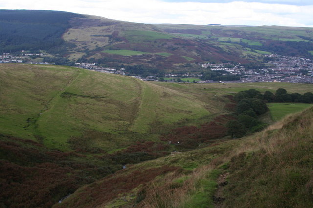
Clydach Vale is a small village located in the Rhondda Valley, in the county borough of Rhondda Cynon Taf, Glamorgan, Wales. Situated approximately 15 miles northwest of Cardiff, the village is nestled in the picturesque valleys of South Wales.

With a population of around 6,000 people, Clydach Vale has a close-knit community and offers a peaceful and scenic environment. Surrounded by rolling hills and lush greenery, the village enjoys breathtaking natural beauty. The River Clydach runs through the heart of the village, adding to its charm.

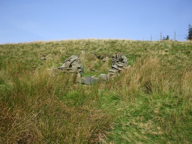
Historically, Clydach Vale was a mining village, with coal mining being the main industry in the area. However, like many other villages in the valleys, the decline of the coal industry in the 20th century had a significant impact on the local economy. Today, Clydach Vale has diversified its economy, with a mix of small businesses, shops, and services catering to the needs of the community.

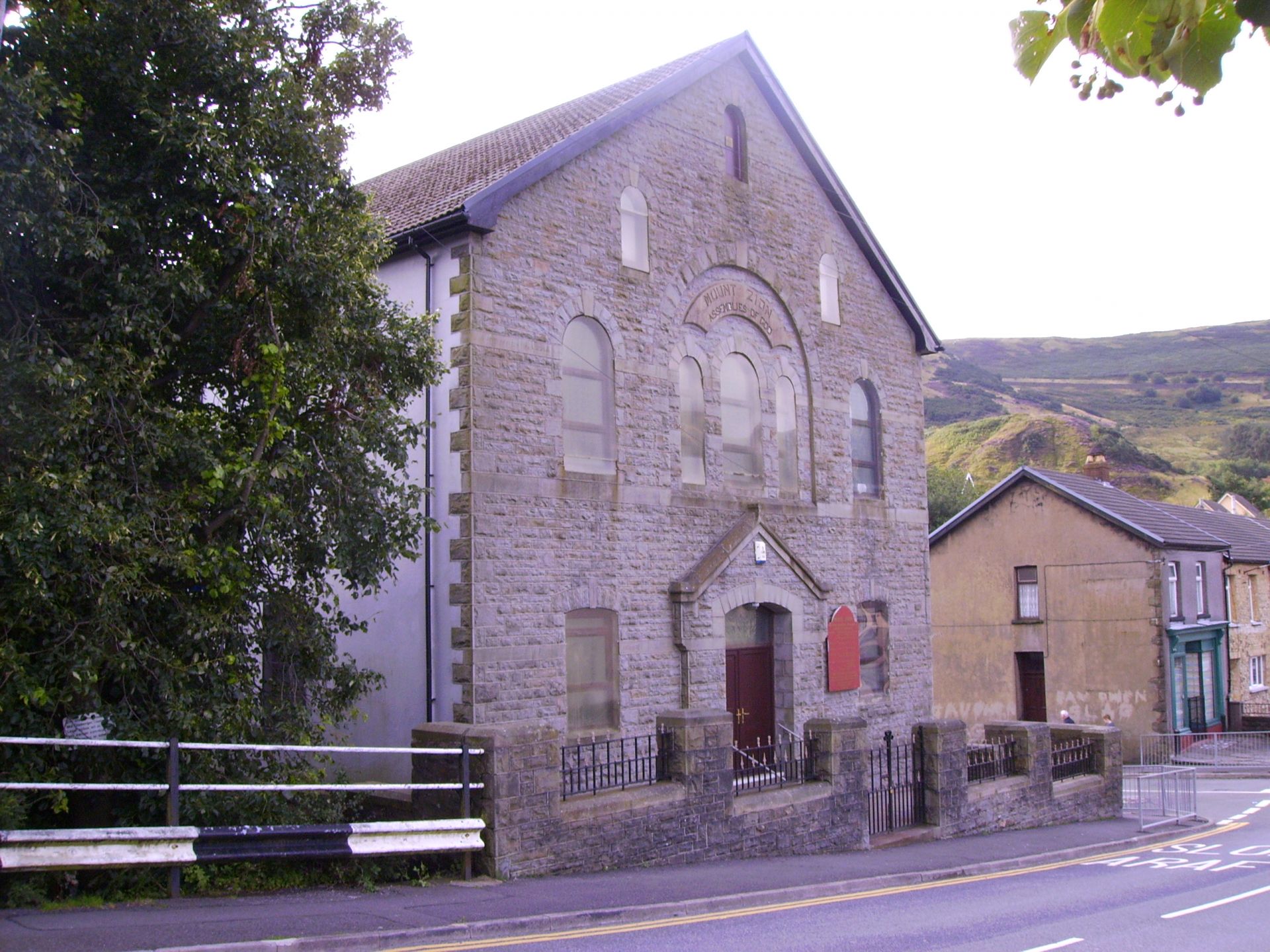
The village is well-served by amenities, including a primary school, a community center, and several local shops and pubs. It also benefits from good transport links, with regular bus services connecting it to nearby towns and cities.

Clydach Vale is a popular destination for outdoor enthusiasts, with numerous walking and cycling trails in the surrounding countryside. The nearby Rhondda Heritage Park, a former colliery turned museum, provides visitors with an insight into the area's mining history.

Overall, Clydach Vale offers a tranquil and friendly community, picturesque surroundings, and a rich history, making it an attractive place to live or visit in the Rhondda Valley.

If you have any feedback on the listing, please let us know in the comments section below.

Clydach Vale Images

Images are sourced within 2km of 51.624786/-3.4920516 or Grid Reference SS9692. Thanks to Geograph Open Source API. All images are credited.

Old Colliery Site Reclamation Scheme Site of the old Gorki Colliery.
Old Colliery Site Reclamation Scheme
Site of the old Gorki Colliery.
Site of old Pwllyrhebog Railway Line Now a Bridle Path
Site of old Pwllyrhebog Railway Line
Now a Bridle Path
Track to Mynydd Bwllfa
Clydach Vale Country Park Reclamation scheme on the site of the old Cambrian Colliery
Clydach Vale Country Park
Reclamation scheme on the site of the old Cambrian Colliery
Llwynypia Forest
Llwynypia Forest
Welsh hillside A sweep of tussock-covered hillside above the Ogmore valley.
Welsh hillside
A sweep of tussock-covered hillside above the Ogmore valley.
517m The OS trig point (517m) and some ruins on Mynydd William Meyrick.
517m
The OS trig point (517m) and some ruins on Mynydd William Meyrick.
Stream in the plantation After emerging from the rather gloomy plantation, on a very wet footpath, there is a small stream to ford, and the relief of an open view to the east.
Stream in the plantation
After emerging from the rather gloomy plantation, on a very wet footpath, there is a small stream to ford, and the relief of an open view to the east.
Hillside path The path just cuts the corner of this square, and above here the grass slopes of Mynydd Bwllfa lead to crags, which are in the square but not visible.
Hillside path
The path just cuts the corner of this square, and above here the grass slopes of Mynydd Bwllfa lead to crags, which are in the square but not visible.
A now peaceful valley A peaceful path above a little stream in Rhondda Fawr: there is now little trace of the collieries that were here in the last century.
A now peaceful valley
A peaceful path above a little stream in Rhondda Fawr: there is now little trace of the collieries that were here in the last century.
Looking up the Nant Gwyn
Gate below Twyn Dysgwylfa
Sheep shelter(?)
Sheep shelter(?)
Footpath fords the Ogwr Fach
Steep-sided valley of the Ogwr Fach
Ogwr Fach, looking upstream Taken just below where the footpath fords the stream
Ogwr Fach, looking upstream
Taken just below where the footpath fords the stream
Gate on Mynydd Pwllyrhebog
View from the footpath on Mynydd Pwllyrhebog
Show me another place!

Clydach Vale is located at Grid Ref: SS9692 (Lat: 51.624786, Lng: -3.4920516)

Unitary Authority: Rhondda Cynon Taf

Police Authority: South Wales

What 3 Words

///butterfly.half.workbench. Near Clydach Vale, Rhondda Cynon Taf

Nearby Locations

Cwm Clydach Clydach Vale

Related Wikis

Cambrian Colliery

The Cambrian Colliery was a large coal mine that operated between 1872 and 1967 near Clydach Vale in the Rhondda Valley, south Wales. It is notable for...

Cwm Clydach, Rhondda Cynon Taf

Cwm Clydach is a community and electoral ward to the northwest of Tonypandy in Rhondda Cynon Taf, Wales. The community and ward covers the valley of the...

Clydach Vale

Clydach Vale (Welsh: Cwmclydach and adjoining Blaenclydach) is a village in the community of Cwm Clydach, northwest of Tonypandy in the county borough...

Mynydd y Gelli

Mynydd Y Gelli is one of the mountains that forms the Rhondda Valley in South Wales, United Kingdom. The name Mynydd Y Gelli is also loaned to the Iron...

Cambrian & Clydach Vale B.&G.C.

Cambrian & Clydach Vale Boys & Girls Club is a Welsh football club based in Clydach Vale in the Rhondda Valley. The club was founded in 1965 as Cambrian...

District of Rhondda

Rhondda (Welsh: Y Rhondda) was a local government district in the geographical area of the Rhondda Valley, south Wales, from 1877 until 1996, with various...

Gelli, Rhondda

Gelli is a village in the Rhondda Fawr valley, in the county borough of Rhondda Cynon Taff, Wales, situated on the southern bank of the Rhondda Fawr River...

Mynydd William Meyrick

Mynydd William Meyrick is a 535-metre-high hill straddling the boundary of Bridgend and Rhondda Cynon Taf county boroughs between the valley of the Rhondda...

Nearby Amenities

Located within 500m of 51.624786,-3.4920516
Direction: 170
Generator Method: photovoltaic
Generator Output Electricity: yes
Generator Solar Modules: 8
Generator Source: solar
Generator Type: solar_photovoltaic_panel
Location: roof
Power: generator
Lat/Long: 51.6268073/-3.4859678
Direction: 170
Generator Method: photovoltaic
Generator Output Electricity: yes
Generator Solar Modules: 4
Generator Source: solar
Generator Type: solar_photovoltaic_panel
Location: roof
Power: generator
Lat/Long: 51.6267915/-3.4861757
Cambrian Colliery Shaft 1
Man Made: mineshaft
Lat/Long: 51.6240562/-3.4889693
Bench
Backrest: yes
Material: metal
Lat/Long: 51.6241889/-3.4882648
Bench
Backrest: yes
Material: metal
Lat/Long: 51.6241997/-3.488073
Bench
Backrest: yes
Material: metal
Lat/Long: 51.6241048/-3.4883922
Waste Basket
Lat/Long: 51.6240915/-3.4883413
Waste Basket
Lat/Long: 51.6253611/-3.4862465
Waste Basket
Lat/Long: 51.6254844/-3.4858327
Grit Bin
Lat/Long: 51.6253445/-3.4855383
Ford: yes
Lat/Long: 51.6247458/-3.48845
Bus Stop
Terminus
Bus: yes
Public Transport: platform
Shelter: no
Lat/Long: 51.6254798/-3.486795
Waste Basket
Waste: dog_excrement
Lat/Long: 51.6255589/-3.4863484
The data included in this document is from www.openstreetmap.org. The data is made available under ODbL.

Have you been to Clydach Vale?

Leave your review of Clydach Vale below (or comments, questions and feedback).