Langley

Settlement in Essex Uttlesford

England

Langley

Langley Church, Upper Green.
Langley Church, Upper Green. Credit: mym

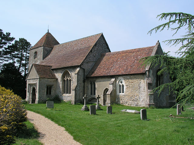
Langley is a small village located in the county of Essex, in the eastern part of England. Situated approximately 10 miles southeast of the city of Chelmsford, Langley is nestled in the picturesque countryside, surrounded by green fields and rolling hills. The village is part of the Epping Forest district and falls within the parliamentary constituency of Harlow.

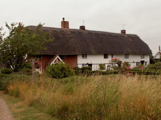
With a population of around 1,000 residents, Langley has a tight-knit community atmosphere. The village is known for its charming and quaint character, featuring a mix of traditional thatched cottages and more modern housing developments. The village center is home to a few local amenities, including a village hall, a post office, and a local pub, which serves as a focal point for social gatherings.

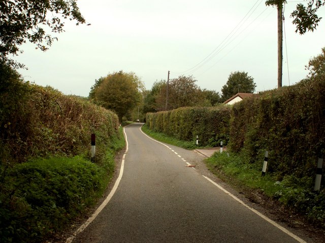
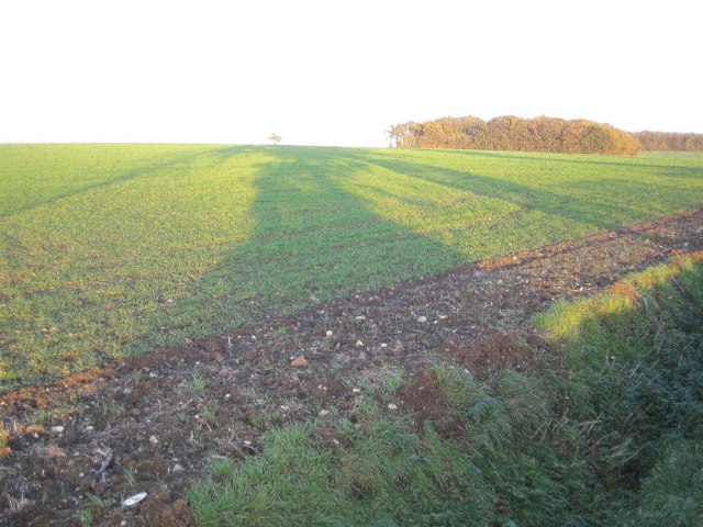
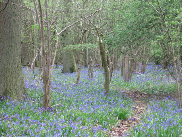
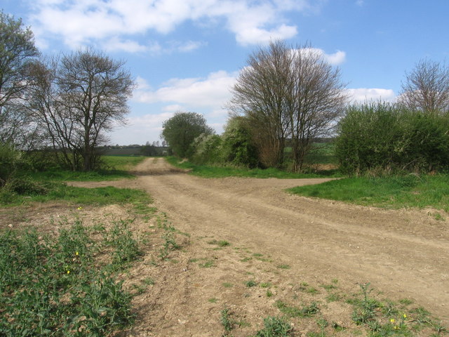
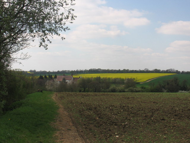
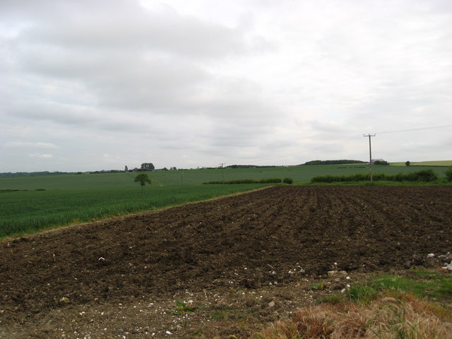
Langley benefits from its rural location, offering residents and visitors access to beautiful countryside walks and cycling routes. The village is surrounded by numerous farms, where agriculture plays a significant role in the local economy. The nearby Flitch Way, a former railway line turned nature trail, provides opportunities for outdoor activities and exploration.

Despite its tranquil setting, Langley remains well-connected to neighboring towns and cities. The A414 road runs through the village, providing easy access to Chelmsford, Harlow, and the wider road network. Additionally, the village is served by regular bus services, ensuring convenient transportation options for residents.

Overall, Langley offers a peaceful retreat from urban life, with its idyllic countryside setting and close-knit community spirit.

If you have any feedback on the listing, please let us know in the comments section below.
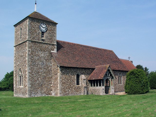
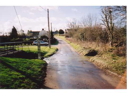
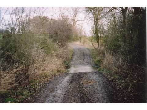
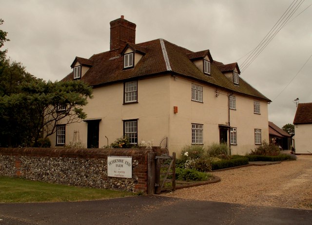
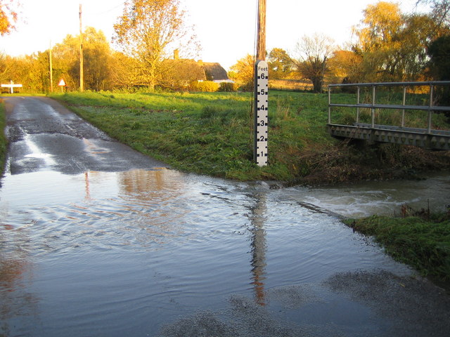
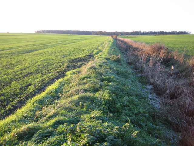
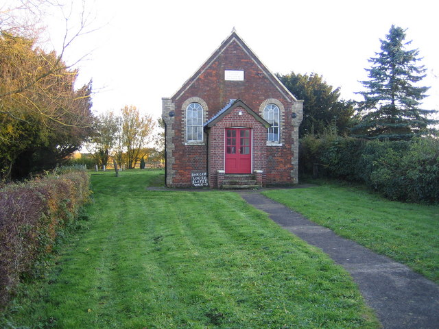
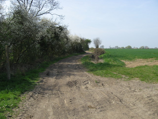
Langley Images

Images are sourced within 2km of 51.995758/0.10431085 or Grid Reference TL4435. Thanks to Geograph Open Source API. All images are credited.

Langley Church, Upper Green.
Ford, Langley Lower Green Culverted ford, usually dry.
Ford, Langley Lower Green
Culverted ford, usually dry.
Ford near Cooper's End On a Roman Road, now a byway.
Ford near Cooper's End
On a Roman Road, now a byway.
Duddenhoe End Farm, Duddenhoe End, Essex
Thatched cottages at Upper Green, Langley, Essex
Country road on the way to Lower Green
River Stort A view from the road bridge of the infant river Stort close to its source at Doctor's Grove.
River Stort
A view from the road bridge of the infant river Stort close to its source at Doctor's Grove.
Chrishall Common Roughway Wood is the distant clump of trees beyond the winter wheat.
Chrishall Common
Roughway Wood is the distant clump of trees beyond the winter wheat.
River Stort in Lower Green, Langley This is the ford across the River Stort on the road known as Waterwick Hill in Lower Green, and, compared with Andrew's photo <a href="https://www.geograph.org.uk/photo/58589">TL4334 : Ford, Langley Lower Green</a>, the river certainly has a lot of water flowing in it. The extent of the recent inundation can be seen from the flood trash line on the road on the far side of the ford.
River Stort in Lower Green, Langley
This is the ford across the River Stort on the road known as Waterwick Hill in Lower Green, and, compared with Andrew's photo TL4334 : Ford, Langley Lower Green, the river certainly has a lot of water flowing in it. The extent of the recent inundation can be seen from the flood trash line on the road on the far side of the ford.
River Stort north of Lower Green Viewed looking upstream from the Park Lane bridge.
River Stort north of Lower Green
Viewed looking upstream from the Park Lane bridge.
Lower Green: Methodist Chapel This is the Primitive Methodist Chapel in Waterwick Hill, Lower Green. The inscription on the stone in the gable end reads "Erected 1862, Enlarged 1871". Behind the Chapel is a graveyard.
Lower Green: Methodist Chapel
This is the Primitive Methodist Chapel in Waterwick Hill, Lower Green. The inscription on the stone in the gable end reads "Erected 1862, Enlarged 1871". Behind the Chapel is a graveyard.
Farm track and public footpath Farm track and public footpath at Cosh Farm, Coopers End.
Farm track and public footpath
Farm track and public footpath at Cosh Farm, Coopers End.
Bluebells in High Wood
Footpath junction on the Harcamlow Way
Farmland near Clavering Farm
Farmland at Gypsy Corner Farm A field at Gypsy Corner Farm. Probably ridged up for potatoes.
Farmland at Gypsy Corner Farm
A field at Gypsy Corner Farm. Probably ridged up for potatoes.
Up End This named track leads to the woodland of Scales Park in the distance.
Up End
This named track leads to the woodland of Scales Park in the distance.
Thatched cottage at Langley Lower Green An attractive weatherboarded building with an ugly outbuilding.
Thatched cottage at Langley Lower Green
An attractive weatherboarded building with an ugly outbuilding.
Show me another place!

Langley is located at Grid Ref: TL4435 (Lat: 51.995758, Lng: 0.10431085)

Administrative County: Essex

District: Uttlesford

Police Authority: Essex

What 3 Words

///cage.interviewer.quicksand. Near Great Chesterford, Essex

Related Wikis

Langley, Essex

For the historic house in Essex called Langley's, see Great Waltham. Langley is a village and civil parish near Clavering in the English county of Essex...

Duddenhoe End

Duddenhoe End is a small village in the civil parish of Elmdon & Wenden Lofts, in northwest Essex, England, and situated approximately halfway between...

Wenden Lofts

Wenden Lofts is a small community in the civil parish of Elmdon, Duddenhoe End & Wenden Lofts in the Uttlesford district, in the county of Essex, England...

Meesden

Meesden is a village and civil parish of the East Hertfordshire district of Hertfordshire, England. Nearby settlements include Anstey and Brent Pelham...

Little Chishill

Little Chishill is a village and former civil parish, now in the parish of Great and Little Chishill, in the South Cambridgeshire district, in the county...

Arkesden

Arkesden is a village and civil parish in the Uttlesford district of Essex, England. The village is 4.3 miles (7 km) south-west from Saffron Walden, approximately...

Brent Pelham Windmill

Brent Pelham Windmill is a Grade II listed smock mill at Brent Pelham, Hertfordshire, England which is derelict. == History == Brent Pelham Mill was built...

Clavering Castle

Clavering Castle remains are situated in the small parish village of Clavering in the county of Essex, England, 50m north of the church of St Mary and...

Nearby Amenities

Located within 500m of 51.995758,0.10431085
Langley Upper Green
Created By: POI Editor
Place: village
Source: npe
Lat/Long: 51.9957154/0.1029506
Bus Stop
Long Ley
Naptan AtcoCode: 150018004007
Naptan Bearing: S
Naptan BusStopType: CUS
Naptan CommonName: Long Ley
Naptan Crossing: Cogmore
Naptan Indicator: S-bound
Naptan Landmark: Long Ley
Naptan NaptanCode: esxdawga
Naptan Street: Valance Road
Naptan Verified: no
Public Transport: platform
Source: naptan_import
Lat/Long: 51.9931969/0.1058062
Bus Stop
Long Ley
Naptan AtcoCode: 1500180040Y7
Naptan Bearing: N
Naptan BusStopType: CUS
Naptan CommonName: Long Ley
Naptan Crossing: Cogmore
Naptan Indicator: N-bound
Naptan Landmark: Long Ley
Naptan NaptanCode: esxgtjpd
Naptan Street: Valance Road
Naptan Verified: no
Public Transport: platform
Source: naptan_import
Lat/Long: 51.9931715/0.1057176
Bus Stop
Upper Green
Naptan AtcoCode: 1500IM1777
Naptan Bearing: SE
Naptan BusStopType: CUS
Naptan CommonName: Upper Green
Naptan Crossing: Cogmore
Naptan Indicator: SE-bound
Naptan Landmark: Upper Green
Naptan NaptanCode: esxdatmd
Naptan Street: Bull Lane
Naptan Verified: no
Public Transport: platform
Source: naptan_import
Lat/Long: 51.9958517/0.1041827
Bus Stop
Upper Green
Bus: yes
Naptan AtcoCode: 1500IM1777AA
Naptan Bearing: NW
Naptan BusStopType: CUS
Naptan CommonName: Upper Green
Naptan Crossing: Cogmore
Naptan Indicator: NW-bound
Naptan Landmark: Upper Green
Naptan NaptanCode: esxgpjdt
Naptan Street: Bull Lane
Naptan Verified: no
Public Transport: platform
Source: naptan_import
Lat/Long: 51.995789/0.1041652
Power: pole
Lat/Long: 51.9953535/0.1055717
Power: pole
Lat/Long: 51.9950042/0.1064502
Power: pole
Lat/Long: 51.9933907/0.1086549
Power: pole
Lat/Long: 51.9940282/0.1079951
Power: pole
Lat/Long: 51.9946426/0.1073514
Power: pole
Lat/Long: 51.9927424/0.1093174
Post Box
Brand: Royal Mail
Brand Wikidata: Q638098
Collection Times: Mo-Fr 09:00; Sa 07:00
Operator: Royal Mail
Operator Wikidata: Q638098
Post Box Type: lamp
Ref: CB11 86
Royal Cypher: EIIR
Royal Cypher Wikidata: Q33102113
Source: survey
Lat/Long: 51.9961475/0.1020066
Post Box
Collection Times: Mo-Fr 16:30; Sa 11:30
Operator: Royal Mail
Post Box Type: lamp
Ref: CB11 85
Royal Cypher: EIIR
Royal Cypher Wikidata: Q33102113
Source: survey
Lat/Long: 51.9923523/0.1060358
Bench
Lat/Long: 51.9969733/0.10528
Barrier: kissing_gate
Lat/Long: 51.9972276/0.1076326
Defibrillator
Defibrillator Location: Wall.
Emergency: defibrillator
Lat/Long: 51.9966147/0.1056336
Public Bookcase
Booth: K6
Disused Amenity: telephone
Man Made: telephone_box
Public Bookcase Type: phone_box
Lat/Long: 51.9923387/0.1060108
The data included in this document is from www.openstreetmap.org. The data is made available under ODbL.

Have you been to Langley?

Leave your review of Langley below (or comments, questions and feedback).