Bryn-du Dingle
Valley in Montgomeryshire
Wales
Bryn-du Dingle

The requested URL returned error: 429 Too Many Requests
If you have any feedback on the listing, please let us know in the comments section below.
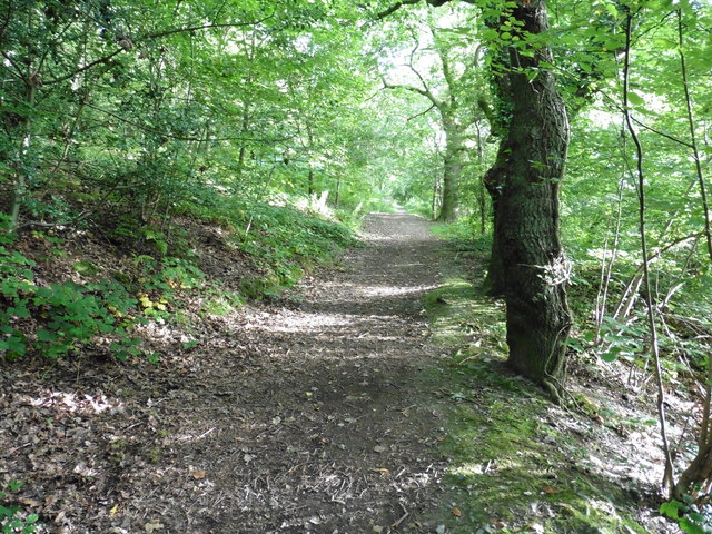
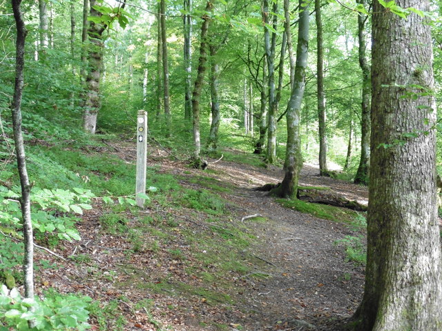
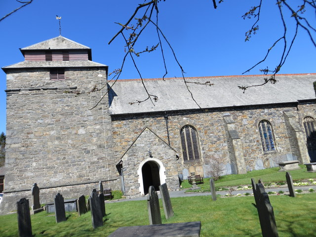
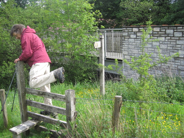
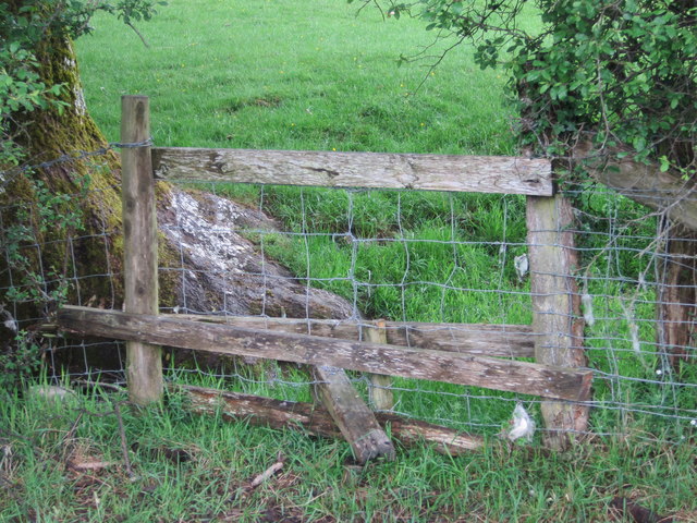
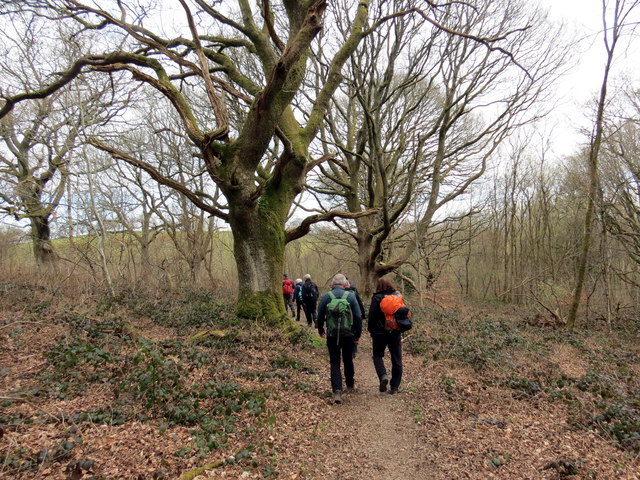
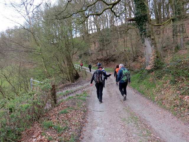
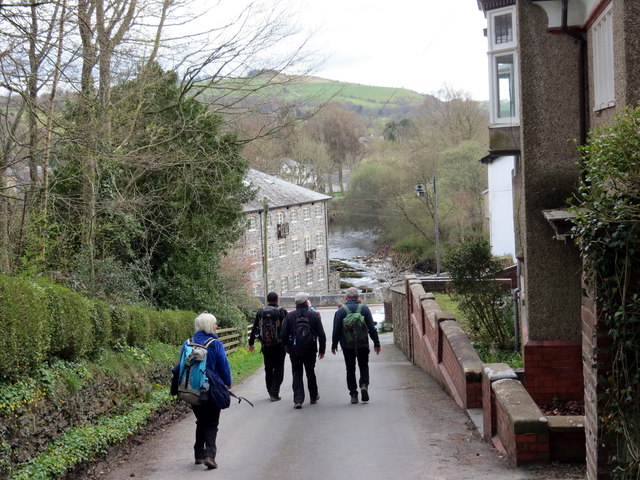
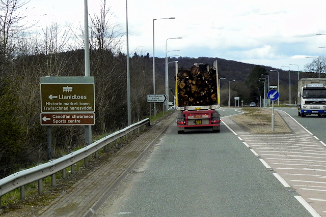
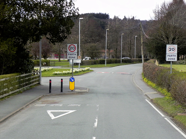
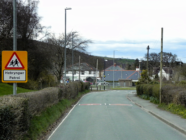
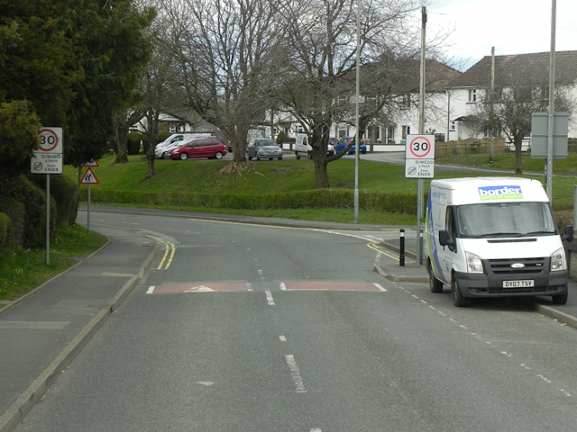
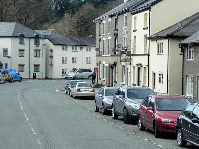
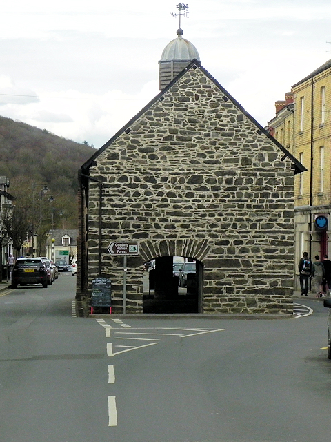
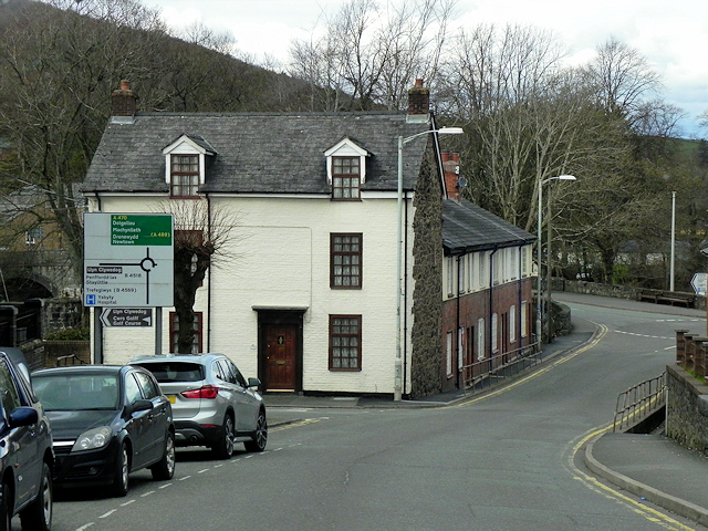
Bryn-du Dingle Images
Images are sourced within 2km of 52.442475/-3.5318613 or Grid Reference SN9583. Thanks to Geograph Open Source API. All images are credited.

Bryn-du Dingle is located at Grid Ref: SN9583 (Lat: 52.442475, Lng: -3.5318613)
Unitary Authority: Powys
Police Authority: Dyfed Powys
What 3 Words
///mothering.stubble.huddle. Near Llanidloes, Powys
Nearby Locations
Related Wikis
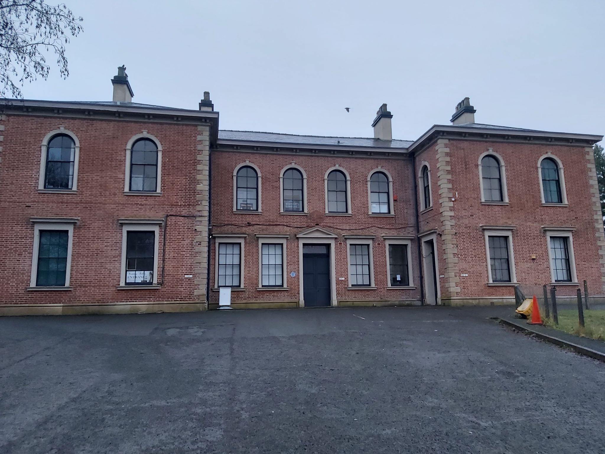
Llanidloes railway station
Llanidloes railway station is a former junction railway station in Llanidloes, Powys, Wales. The Cambrian Railways, which completed the building in 1864...

Llanidloes Town Hall
Llanidloes Town Hall (Welsh: Neuadd y Dref Llanidloes) is a municipal building in Great Oak Street, Llanidloes in Powys, Wales. The structure, which is...

Llanidloes Town F.C.
Llanidloes Town Football Club (Welsh: Clwb Pêl-droed Tref Llanidloes) are an association football club based in the town of Llanidloes, Wales. They currently...
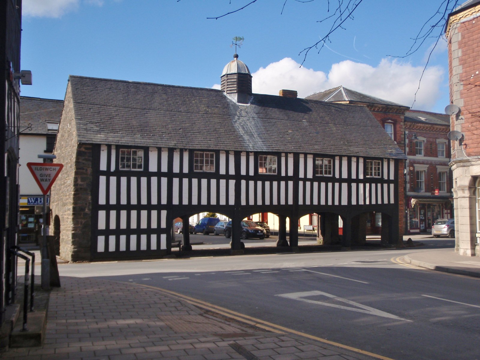
Old Market Hall, Llanidloes
The Old Market Hall is the oldest timber-framed market hall in Llanidloes, Wales, dating to the early 17th century. Until well into the 20th century a...
Nearby Amenities
Located within 500m of 52.442475,-3.5318613Have you been to Bryn-du Dingle?
Leave your review of Bryn-du Dingle below (or comments, questions and feedback).