South Glen

Valley in Stirlingshire

Scotland

South Glen

Avon Aqueduct carries the Union Canal over the River Avon
Avon Aqueduct carries the Union Canal over the River Avon Credit: Tim Glover

South Glen is a beautiful valley located in Stirlingshire, Scotland. Nestled within the picturesque landscape of the Scottish Highlands, this valley is renowned for its breathtaking natural beauty and a wide array of outdoor activities.

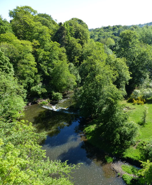
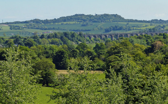
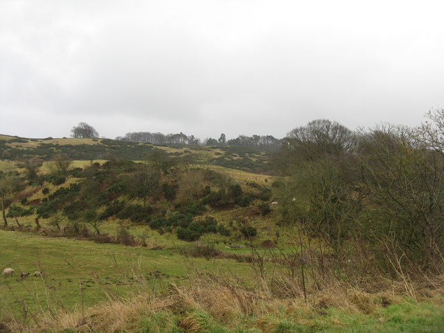
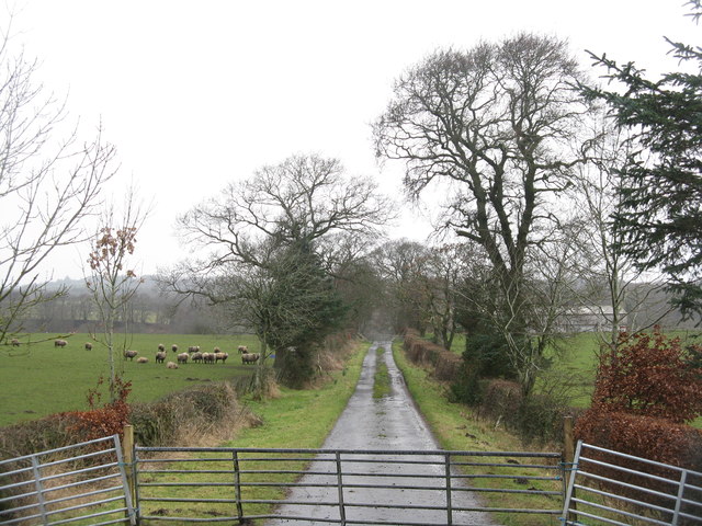
Surrounded by rolling hills and verdant forests, South Glen offers a tranquil and peaceful escape from the hustle and bustle of city life. The valley is traversed by the River Glen, which meanders gently through the heart of the landscape, providing stunning views and opportunities for fishing.

Nature enthusiasts will find themselves in paradise in South Glen. The valley is home to a diverse range of flora and fauna, including rare species such as red deer, golden eagles, and ospreys. Hiking and walking trails crisscross the valley, allowing visitors to explore its hidden gems and discover panoramic vistas.

South Glen is also a popular destination for adventure seekers. The valley offers excellent opportunities for mountain biking, with trails suitable for all skill levels. Additionally, climbers can test their skills on the challenging rock faces that dot the landscape.

For those seeking a more relaxed experience, South Glen is home to several charming villages and towns. These quaint settlements offer cozy accommodations, traditional Scottish pubs, and local shops where visitors can immerse themselves in the warm hospitality of the community.

In summary, South Glen in Stirlingshire is a breathtaking valley that showcases the stunning beauty of the Scottish Highlands. Whether you're seeking outdoor adventures or a peaceful retreat, this valley has something to offer for everyone.

If you have any feedback on the listing, please let us know in the comments section below.
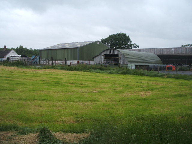
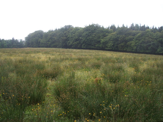
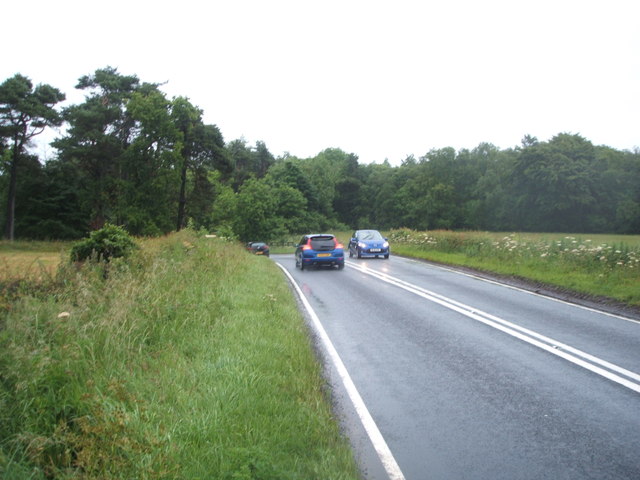
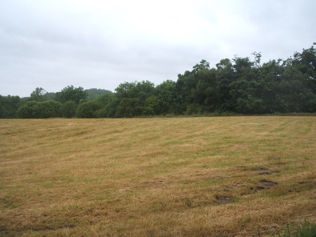
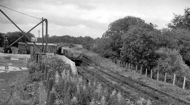
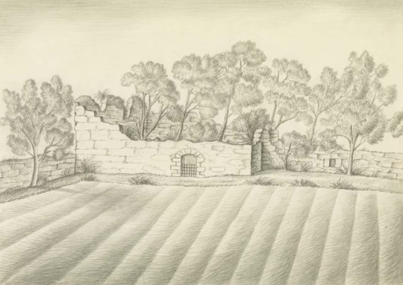
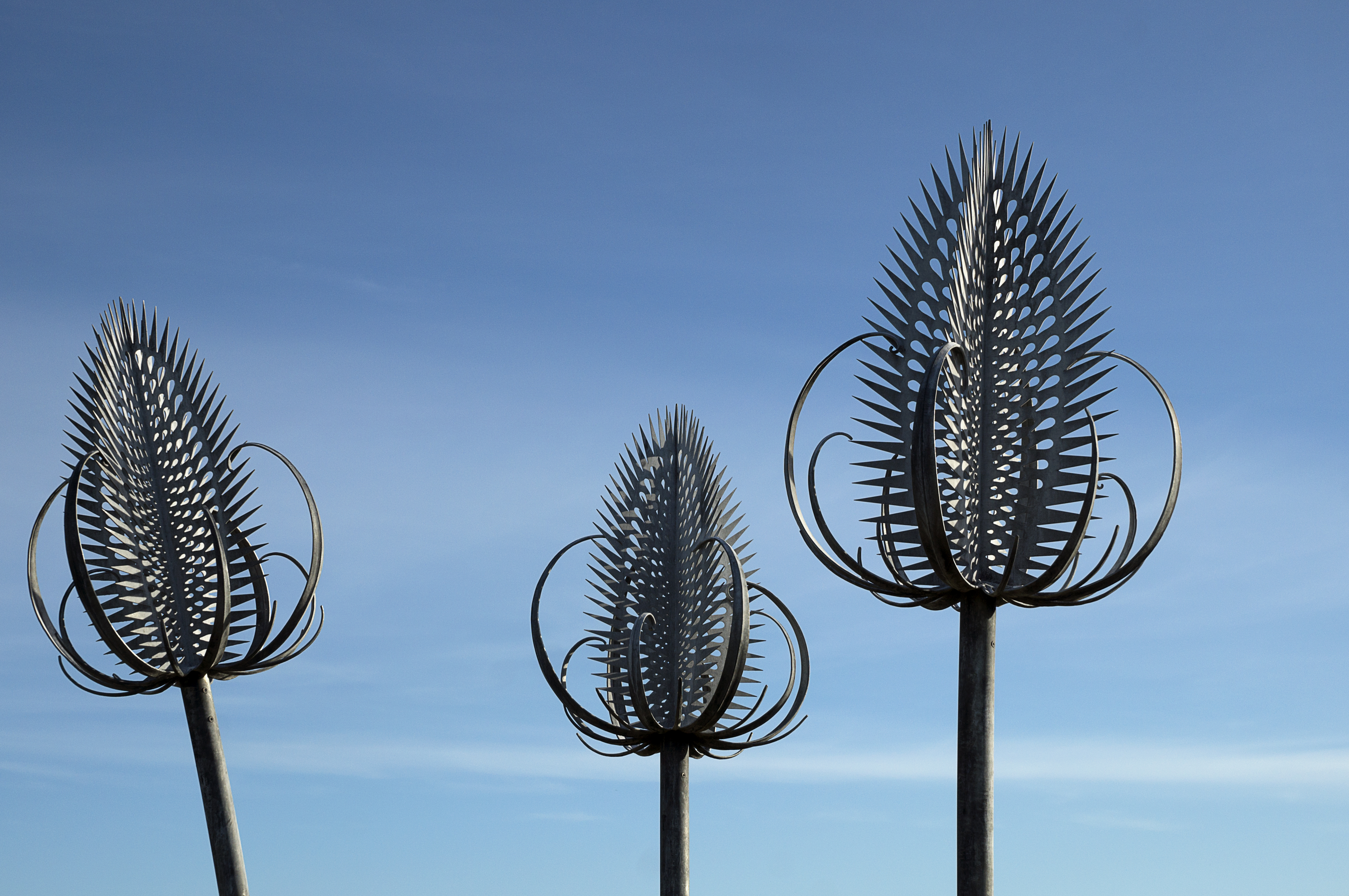
South Glen Images

Images are sourced within 2km of 55.951398/-3.6763573 or Grid Reference NS9574. Thanks to Geograph Open Source API. All images are credited.

Avon Aqueduct carries the Union Canal over the River Avon
Bridge 49 Cafe Bar & Bistro Alongside the Union Canal at Almond.
Bridge 49 Cafe Bar & Bistro
Alongside the Union Canal at Almond.
Causeway End Bridge No 49 Carrying the B825 road across the Union Canal near Almond.
Causeway End Bridge No 49
Carrying the B825 road across the Union Canal near Almond.
River Avon viewed from the Avon Aqueduct The Avon Aqueduct carries the Union Canal over the River Avon near Linlithgow.
It was built between 1819 and 1821, and is a category A listed building.
The aqueduct is 810 feet (250 m) in length, and is 86 feet (26 m) in height.
River Avon viewed from the Avon Aqueduct
The Avon Aqueduct carries the Union Canal over the River Avon near Linlithgow. It was built between 1819 and 1821, and is a category A listed building. The aqueduct is 810 feet (250 m) in length, and is 86 feet (26 m) in height.
Union Canal crossing the Avon Aqueduct The Avon Aqueduct carries the Union Canal over the River Avon near Linlithgow.
It was built between 1819 and 1821, and is a category A listed building.
The aqueduct is 810 feet (250 m) in length, and is 86 feet (26 m) in height.
Union Canal crossing the Avon Aqueduct
The Avon Aqueduct carries the Union Canal over the River Avon near Linlithgow. It was built between 1819 and 1821, and is a category A listed building. The aqueduct is 810 feet (250 m) in length, and is 86 feet (26 m) in height.
View from the Avon Aqueduct
Scrubby hillside at Carribber The edge of the Bathgate Hills, looking east from the A706.
Scrubby hillside at Carribber
The edge of the Bathgate Hills, looking east from the A706.
Track to Carribber Mill
Sheep - just grazing in the rain! Near Muiravonside Country Park.
Sheep - just grazing in the rain!
Near Muiravonside Country Park.
Sheep grazing near Muiravonside The Union Canal runs along the other side of the trees.
Sheep grazing near Muiravonside
The Union Canal runs along the other side of the trees.
Bridge 49 Café Bar & Bistro A new hostelry, with good reviews, adjacent to Bridge 49 on the Union Canal.
Bridge 49 Café Bar & Bistro
A new hostelry, with good reviews, adjacent to Bridge 49 on the Union Canal.
Farm buildings, Avoncrook
Rough grazing towards The Desert woodland
Field entrance, Wester Woodside
Gated road to Carribber Mill Looking west from the A706.
Gated road to Carribber Mill
Looking west from the A706.
Ruined cottage, Carribber
A801 towards the M9 Motorway Looking north east.
A801 towards the M9 Motorway
Looking north east.
Cut grass field near the Brunton Burn Off the A801.
Cut grass field near the Brunton Burn
Off the A801.
Show me another place!

South Glen is located at Grid Ref: NS9574 (Lat: 55.951398, Lng: -3.6763573)

Unitary Authority: Falkirk

Police Authority: Forth Valley

What 3 Words

///purse.grin.buckets. Near Maddiston, Falkirk

Related Wikis

Bowhouse railway station

Bowhouse railway station served the suburb of Bowhouse, Falkirk, Scotland, from the 1840s to 1964 on the Slamannan Railway. == History == The station was...

Carribber Castle

Carribber Castle, also known as Carriber Castle or Rob Gibb's Castle, is a ruined castle located near Linlithgow in West Lothian, Scotland. == Description... ==

Muiravonside Country Park

Muiravonside Country Park is 170 acres of woodland and parkland open to the public all year round with marked trails, picnic sites and a play area. It...
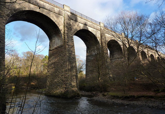
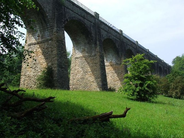
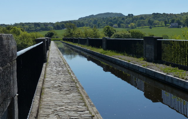
Avon Aqueduct

The Avon Aqueduct is a navigable aqueduct that carries the Union Canal over the River Avon, near Linlithgow, Scotland. == History == The aqueduct was built...

Nearby Amenities

Located within 500m of 55.951398,-3.6763573
Power: pole
Lat/Long: 55.9516097/-3.6702195
Power: pole
Lat/Long: 55.9500065/-3.6837124
Power: pole
Lat/Long: 55.9504264/-3.6828791
Power: pole
Lat/Long: 55.9508579/-3.6820396
Power: pole
Lat/Long: 55.9517292/-3.680298
Power: pole
Lat/Long: 55.9520885/-3.6795793
Power: pole
Lat/Long: 55.9520056/-3.6783461
Power: pole
Lat/Long: 55.9523847/-3.6804959
Power: pole
Lat/Long: 55.9526868/-3.6814417
Power: pole
Lat/Long: 55.9519263/-3.6771107
Power: pole
Lat/Long: 55.951826/-3.6757275
Power: pole
Lat/Long: 55.9517257/-3.6741443
Power: pole
Lat/Long: 55.9516161/-3.672509
Bench
Source: survey
Lat/Long: 55.9549717/-3.6776921
Ford: yes
Lat/Long: 55.9538472/-3.6820841
The data included in this document is from www.openstreetmap.org. The data is made available under ODbL.

Have you been to South Glen?

Leave your review of South Glen below (or comments, questions and feedback).