Barbauchlaw Glen
Valley in West Lothian
Scotland
Barbauchlaw Glen

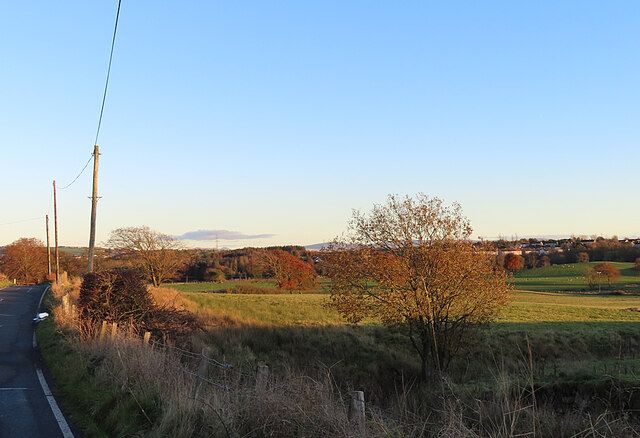
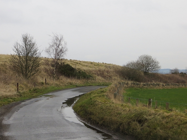
Barbauchlaw Glen is a scenic valley located in West Lothian, Scotland. Nestled between the towns of Armadale and Bathgate, the glen is renowned for its natural beauty and tranquil atmosphere.
The glen is characterized by its lush greenery, rolling hills, and the meandering Barbauchlaw Burn that runs through it. The burn adds to the charm of the area, with small waterfalls and cascades creating a picturesque setting. The glen is home to a diverse range of flora and fauna, including oak, beech, and birch trees, as well as various bird species and woodland animals.
A popular destination for nature enthusiasts, Barbauchlaw Glen offers several walking trails that allow visitors to explore the area's beauty. The trails wind through the glen, offering breathtaking views and a chance to spot wildlife. The glen is also a favorite spot for picnics and family outings, providing ample space for relaxation and recreation.
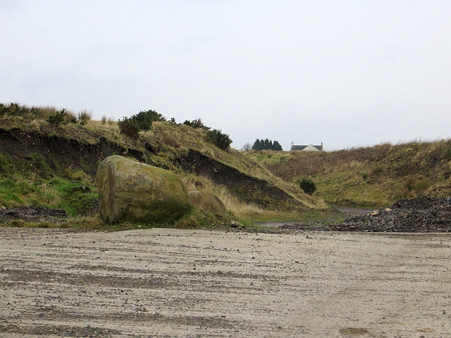
Historically, Barbauchlaw Glen has played a significant role in the region. It was once part of the estate of Barbauchlaw House, a grand mansion that stood nearby. Although the house no longer exists, remnants of its gardens and walled structures can still be seen in the glen.
Barbauchlaw Glen is easily accessible, with parking facilities available nearby. Its peaceful ambiance and natural wonders make it a popular destination for locals and tourists alike, providing an opportunity to immerse oneself in the beauty of West Lothian's countryside. Whether you're seeking a quiet escape or an outdoor adventure, Barbauchlaw Glen is a must-visit destination in Scotland.
If you have any feedback on the listing, please let us know in the comments section below.
Barbauchlaw Glen Images
Images are sourced within 2km of 55.898151/-3.7247287 or Grid Reference NS9268. Thanks to Geograph Open Source API. All images are credited.


Barbauchlaw Glen is located at Grid Ref: NS9268 (Lat: 55.898151, Lng: -3.7247287)
Unitary Authority: West Lothian
Police Authority: The Lothians and Scottish Borders
What 3 Words
///hurtles.until.spirits. Near Armadale, West Lothian
Nearby Locations
Related Wikis

Armadale Academy
Armadale Academy is a secondary school in Armadale, West Lothian. Opened in 1969, the academy moved to its current location in 2009. It is split into three...
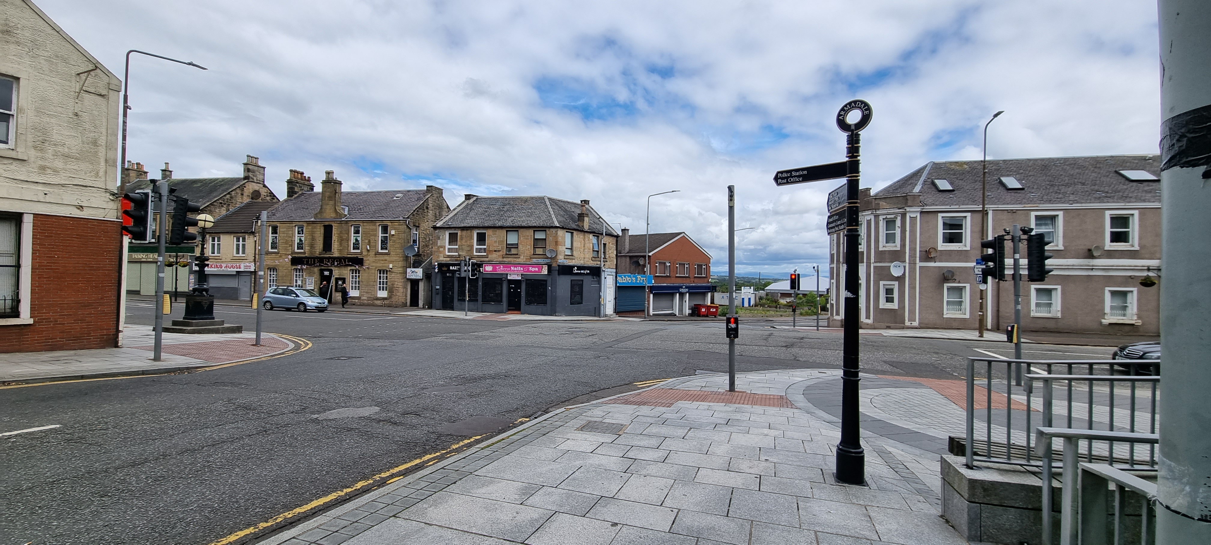
Armadale, West Lothian
Armadale (Scots: Airmadale, Scottish Gaelic: Armadal) is a town within the county of West Lothian in the Central Belt of Scotland. It lies to the west...

Volunteer Park, Armadale
Volunteer Park is a football ground in Armadale, West Lothian, Scotland. It is the home ground of Armadale Thistle, and was used by several of the town...
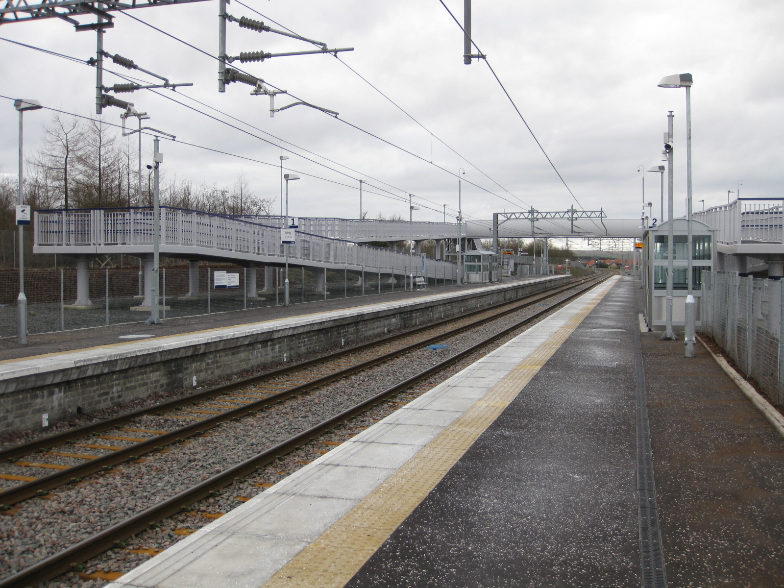
Blackridge railway station
Blackridge railway station is a railway station on the North Clyde Line. It serves the village of Blackridge in West Lothian, Scotland. == History == The...

Bathville
Bathville is a village in West Lothian, Scotland. Bathville now forms a section of Armadale in West Lothian, it is located (1 km) south of the town centre...
Armadale (1st station) railway station
Armadale railway station served the town of Armadale, West Lothian, Scotland from 1862 to 1956 on the Bathgate and Coatbridge Railway. == History == The...
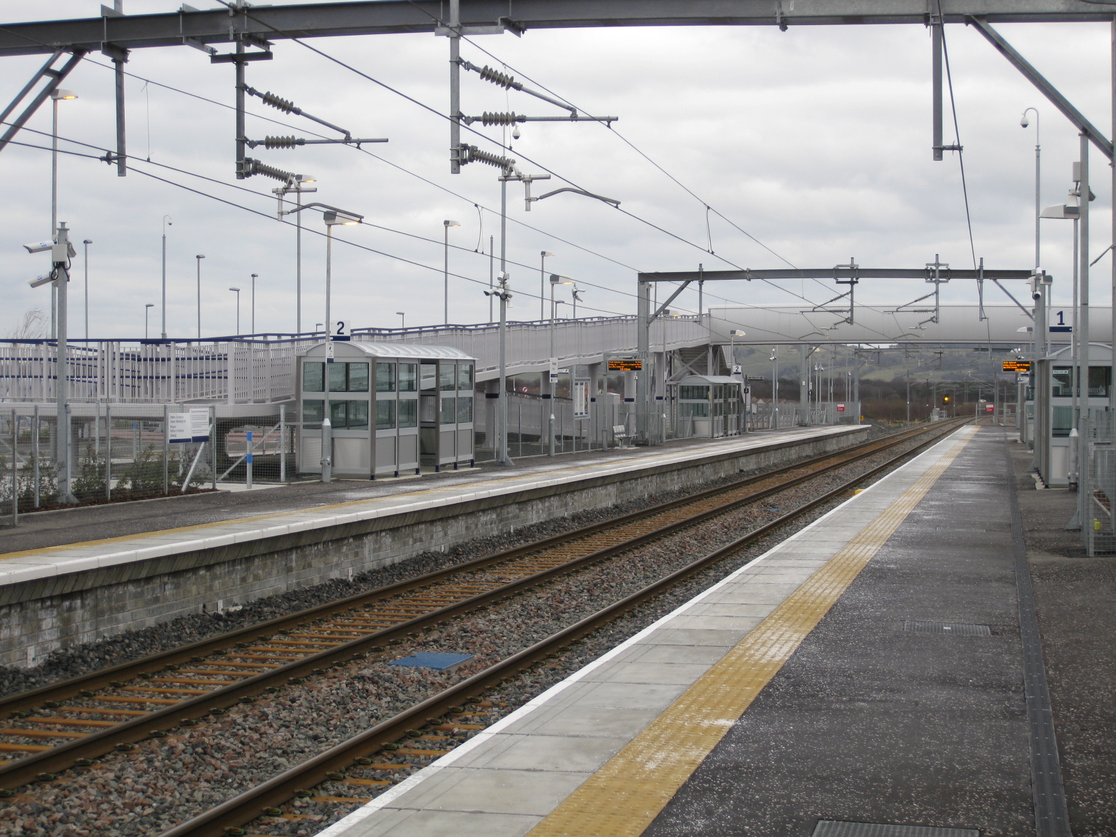
Armadale railway station (Scotland)
Armadale railway station is a railway station serving Armadale, West Lothian, Scotland. It is served by trains on the North Clyde Line. == History == The...
Armadale Stadium
Armadale Stadium is a motorcycle speedway and former greyhound racing stadium situated in the town of Armadale, West Lothian in Scotland. Stock car racing...
Nearby Amenities
Located within 500m of 55.898151,-3.7247287Have you been to Barbauchlaw Glen?
Leave your review of Barbauchlaw Glen below (or comments, questions and feedback).