Cwm y Buarth

Valley in Glamorgan

Wales

Cwm y Buarth

Looking down on Traeth Mawr from the Welsh Coast Path
Looking down on Traeth Mawr from the Welsh Coast Path Credit: Eirian Evans

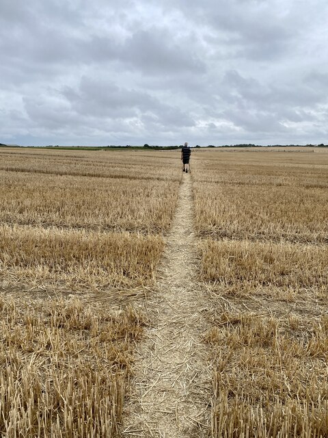
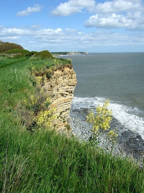
Cwm y Buarth is a small valley located in the county of Glamorgan, Wales. Situated in the southern part of the country, it is known for its picturesque landscapes and rich history. The valley is surrounded by rolling hills, providing a stunning backdrop for its residents and visitors.

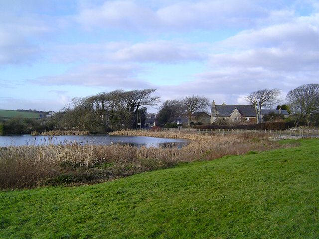
One of the notable features of Cwm y Buarth is the River Buarth that flows through it. The river is a source of natural beauty and offers opportunities for various outdoor activities such as fishing and hiking along its banks. The valley is also home to several small streams that further enhance its charm.

Historically, Cwm y Buarth has been a significant area in Glamorgan. It has been inhabited for centuries, with evidence of early settlements and ancient structures found in the vicinity. The valley has also witnessed the impact of industrialization, particularly during the 19th century when coal mining was prevalent in the region.

Today, Cwm y Buarth retains its rural and tranquil character, attracting nature enthusiasts and those seeking an escape from the bustling city life. The valley boasts a range of wildlife, including various bird species and small mammals, making it a popular destination for birdwatching and wildlife spotting.

In terms of amenities, Cwm y Buarth offers a few local shops and services to cater to the needs of its residents. The valley is well-connected to nearby towns and cities, providing easy access to additional amenities and employment opportunities.

Overall, Cwm y Buarth is a serene and historically significant valley, offering natural beauty and a sense of tranquility to both its residents and visitors.

If you have any feedback on the listing, please let us know in the comments section below.

Cwm y Buarth Images

Images are sourced within 2km of 51.442587/-3.5965276 or Grid Reference SS8972. Thanks to Geograph Open Source API. All images are credited.

Looking down on Traeth Mawr from the Welsh Coast Path
St Brides to Wick St Brides to Wick, photo taken from a gritter cab. It snowed from January 7th late evening and stopped on January 9th late afternoon. I was out in a gritter in this for three days; about a week later I took my camera to work get pics around the county. I have quite few more of these.
St Brides to Wick
St Brides to Wick, photo taken from a gritter cab. It snowed from January 7th late evening and stopped on January 9th late afternoon. I was out in a gritter in this for three days; about a week later I took my camera to work get pics around the county. I have quite few more of these.
Leaving a shady path Beyond this stile the path crosses open fields towards the sea.
Leaving a shady path
Beyond this stile the path crosses open fields towards the sea.
Kissing gate and path through wheat field
Drought - a crazy problem Only when the wheat has been harvested is the extent of the drought revealed.  Compare the same wheat field a few weeks earlier <a href="https://www.geograph.org.uk/photo/7240067">SS9071 : Ripening wheat</a>.
Drought - a crazy problem
Only when the wheat has been harvested is the extent of the drought revealed. Compare the same wheat field a few weeks earlier SS9071 : Ripening wheat.
Lone rambler
Lone rambler
View from Trwyn y Witch This is the view from the Trwyn y Witch Headland looking south towards Nash Point.
View from Trwyn y Witch
This is the view from the Trwyn y Witch Headland looking south towards Nash Point.
Dunraven Bay, Southerndown,  nr Bridgend, Wales
Dunraven Bay, Southerndown, nr Bridgend, Wales
Trwyn y Witch, Dunraven Bay, Southerndown, Wales
Village pond at St Brides This well known pond is the home of lots of ducks and other water birds. Located beside the Wick road and is opposite the popular Farmer's Arms pub (just out of picture)
Village pond at St Brides
This well known pond is the home of lots of ducks and other water birds. Located beside the Wick road and is opposite the popular Farmer's Arms pub (just out of picture)
Coast near Southerndown looking SE in the direction of Nash Point and Trwyn y Witch
Coast near Southerndown
looking SE in the direction of Nash Point and Trwyn y Witch
Coast near Southerndown looking in the direction of Porthcawl
Coast near Southerndown
looking in the direction of Porthcawl
Descending towards Dunraven Bay The beach was very popular on this Bank Holiday Weekend
Descending towards Dunraven Bay
The beach was very popular on this Bank Holiday Weekend
Trwyn y Witch
Trwyn y Witch
Towards Trwyn y Witch
Coastal footpath Cwm Mawr wildflowers were in abundance on the late April day - Gorse, Bluebells, Primroses and many more
Coastal footpath Cwm Mawr
wildflowers were in abundance on the late April day - Gorse, Bluebells, Primroses and many more
Cwm Bach The scent of the Gorse on this sunny April afternoon was overpowering
Cwm Bach
The scent of the Gorse on this sunny April afternoon was overpowering
Show me another place!

Cwm y Buarth is located at Grid Ref: SS8972 (Lat: 51.442587, Lng: -3.5965276)

Unitary Authority: The Vale of Glamorgan

Police Authority: South Wales

What 3 Words

///mirroring.indeed.factoring. Near Wick, Vale of Glamorgan

Nearby Locations

Cwm y Buarth Cwm Mawr

Related Wikis

Valeways Millennium Heritage Trail

The Valeways Millennium Heritage Trail is a waymarked long distance footpath in the Vale of Glamorgan, Wales. == Distance == The route, including spurs...
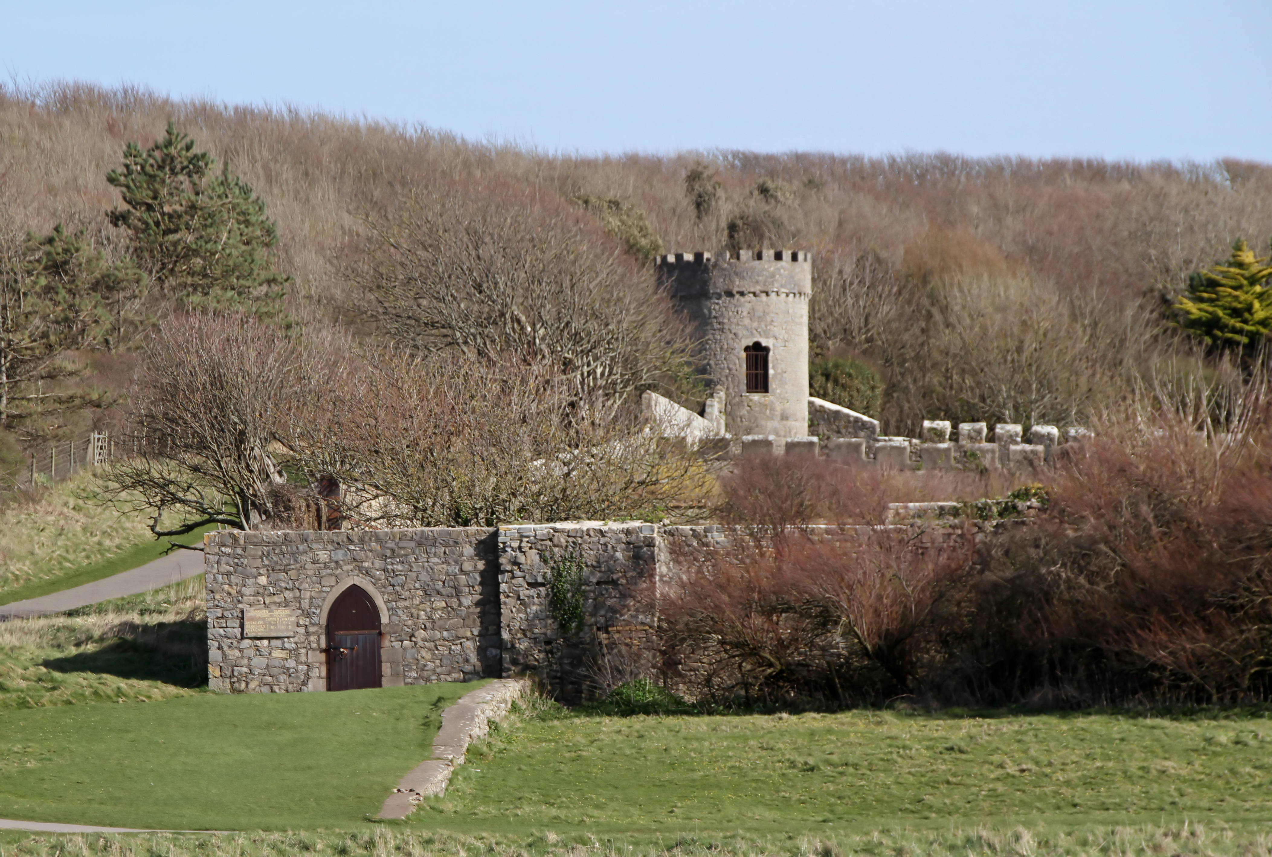
Dunraven Castle

Dunraven Castle (or in Welsh, Castell Dwnrhefn) was a mansion on the South Wales coast near Southerndown. The existing manor house was rebuilt as a castellated...

Southerndown

Southerndown is a village in the Vale of Glamorgan, in south Wales. It is southwest of Bridgend, and within the St Brides Major community, close to Llantwit...

St Brides Major (community)

St Brides Major (Welsh: Sant-y-Brid) is a community on the western edge of the Vale of Glamorgan, South Wales. Its largest settlement is the village of...

St Brides Major

St. Brides Major (Welsh: Sant-y-brid) is a village within the community also called St Brides Major in the Vale of Glamorgan in Wales. The village is located...

Coed y Bwl

Coed y Bwl is a Site of Special Scientific Interest in Glamorgan, south Wales. The site is managed by The Wildlife Trust of South and West Wales. It is...

Southerndown Coast

Southerndown Coast is a Site of Special Scientific Interest (SSSI) in St Brides Major community, in the Vale of Glamorgan, South Wales. It forms part of...

Wick, Vale of Glamorgan

Wick (Welsh: Y Wig) is a small village and community in the Vale of Glamorgan in Wales, situated approximately 1.5 miles (2.4 km) from the coast. The closest...

Nearby Amenities

Located within 500m of 51.442587,-3.5965276
Source: PGS
Lat/Long: 51.4415399/-3.6020922
Source: PGS
Lat/Long: 51.4415563/-3.6015989
Source: PGS
Lat/Long: 51.4416468/-3.600927
Source: PGS
Lat/Long: 51.4417692/-3.6004794
Source: PGS
Lat/Long: 51.4419658/-3.5996868
Source: PGS
Lat/Long: 51.4420477/-3.5990884
Source: PGS
Lat/Long: 51.4415635/-3.5984172
Created By: almien_coastlines
Source: PGS
Lat/Long: 51.441204/-3.597197
Created By: almien_coastlines
Source: PGS
Lat/Long: 51.441078/-3.596991
Created By: almien_coastlines
Source: PGS
Lat/Long: 51.440567/-3.596574
Created By: almien_coastlines
Source: PGS
Lat/Long: 51.44044/-3.596366
Created By: almien_coastlines
Source: PGS
Lat/Long: 51.439035/-3.595528
Created By: almien_coastlines
Source: PGS
Lat/Long: 51.43827/-3.594698
Playtime Wall
Leisure: sport climbing
Sport: climbing
Lat/Long: 51.441493/-3.6034702
The data included in this document is from www.openstreetmap.org. The data is made available under ODbL.

Have you been to Cwm y Buarth?

Leave your review of Cwm y Buarth below (or comments, questions and feedback).