Langenhoe

Settlement in Essex Colchester

England

Langenhoe

A nice view of Abberton Reservoir Well; wasn't it nice of the landowners to create a permissive path/bridleway that follows some sections of the reservoir; cos this really does make a good walk with plenty of superb views; like this one for instance. Reminds me of the beautiful river estuaries of the Colne & Stour in places. All that's needed is a path to connect Lodge Lane; Peldon to the B1026; so don't have to walk along a dangerous section of the Wigborough Road, like one has to do at the moment!
A nice view of Abberton Reservoir Credit: Mr James D

Langenhoe is a quaint village located in the county of Essex, England. Situated near the eastern coast of the country, Langenhoe is part of the Colchester Borough Council and is approximately 8 miles southeast of the town of Colchester. The village is surrounded by picturesque countryside, offering residents and visitors a peaceful and idyllic setting.

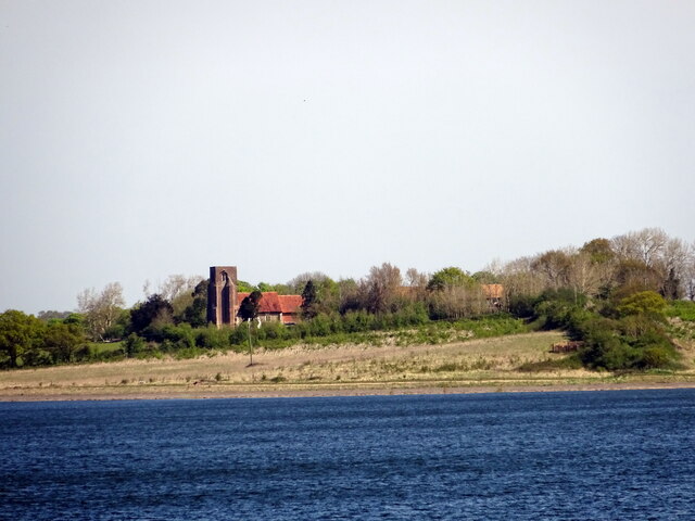
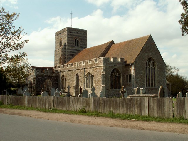
Langenhoe has a rich history, with archaeological evidence suggesting that it was inhabited as far back as the Roman times. The village is home to several historic buildings, including the Grade I listed St. Andrew's Church, which dates back to the 12th century. The church features stunning medieval architecture and is a popular attraction for history enthusiasts.

Despite its small size, Langenhoe has a strong community spirit, with various social and recreational activities organized throughout the year. The village has a primary school, providing education for local children, and a village hall that serves as a hub for community gatherings and events.

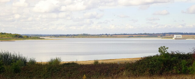
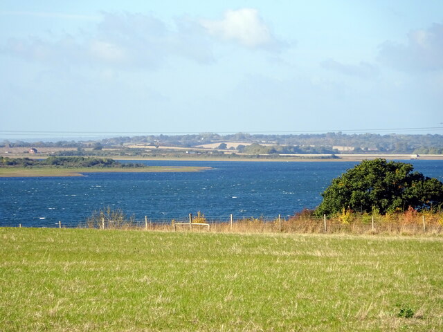
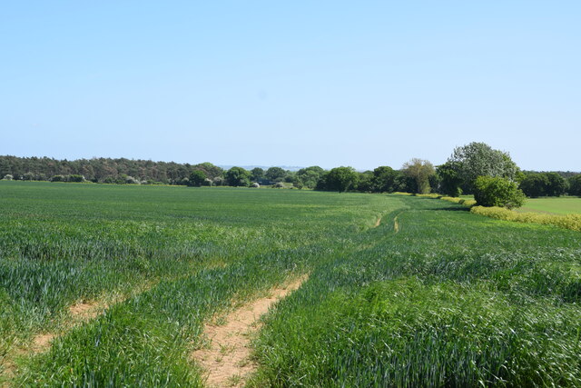
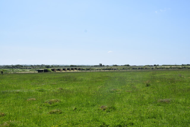
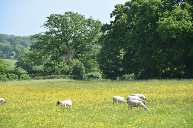
Nature lovers will appreciate Langenhoe's proximity to the coast and nearby nature reserves. The village is located close to the Colne Estuary, a designated Site of Special Scientific Interest (SSSI) and a haven for birdwatchers and wildlife enthusiasts. The surrounding countryside also offers beautiful walking and cycling routes, allowing visitors to explore the area's natural beauty.

Overall, Langenhoe is a charming village that combines historical charm with natural beauty. Its tranquil setting, strong community spirit, and access to the countryside make it an appealing place to live or visit for those seeking a peaceful escape from the hustle and bustle of city life.

If you have any feedback on the listing, please let us know in the comments section below.
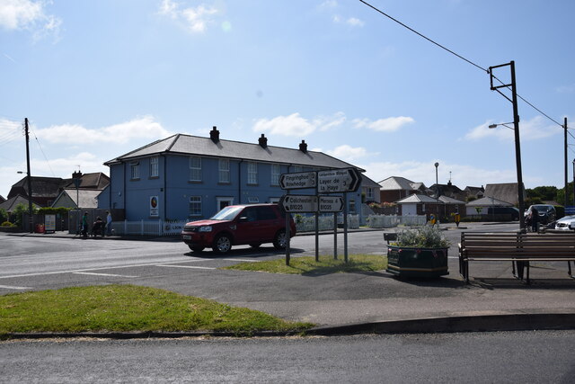
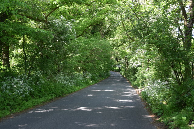
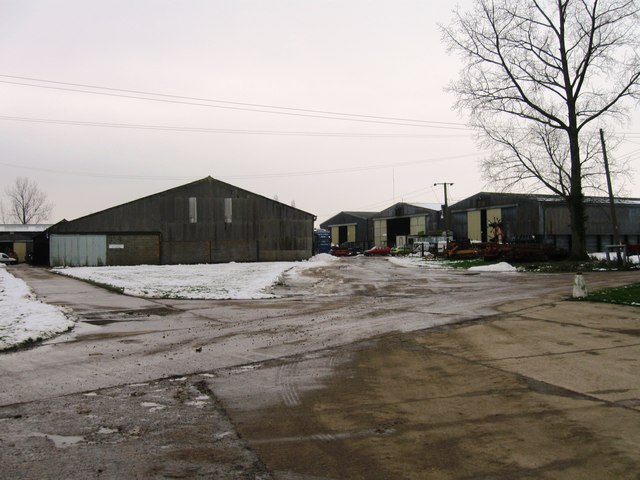
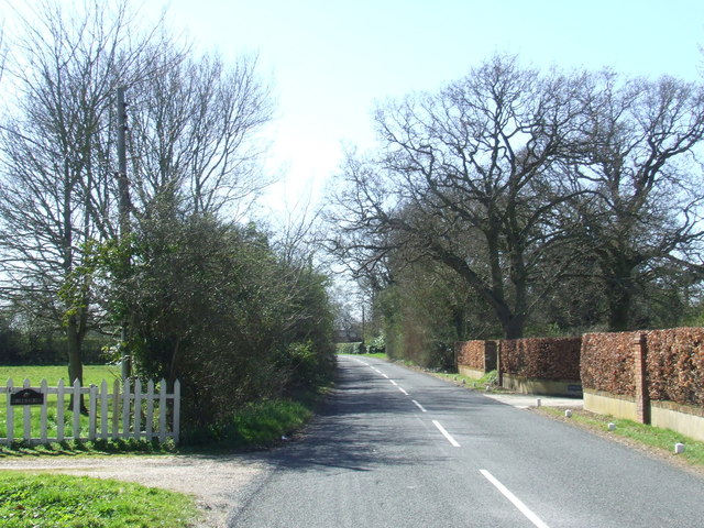
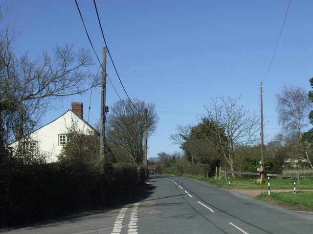
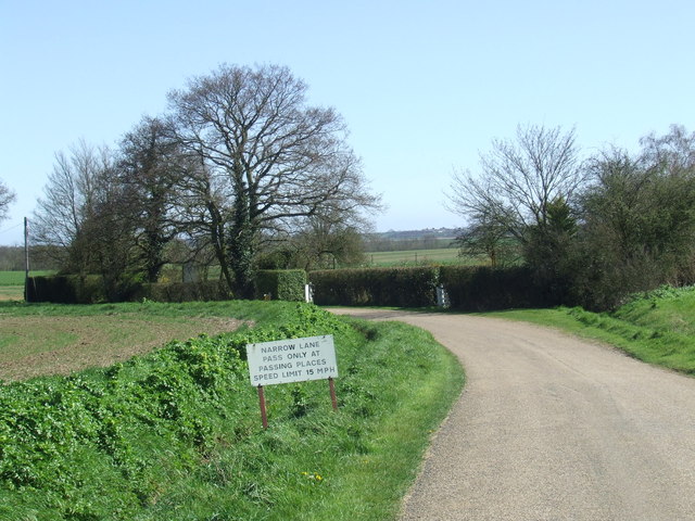
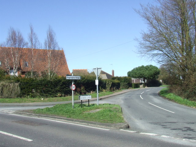
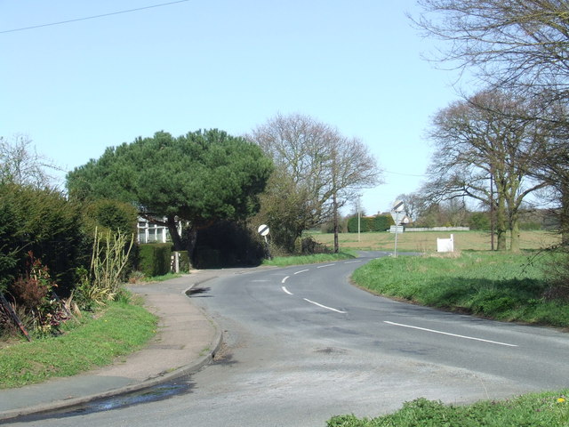
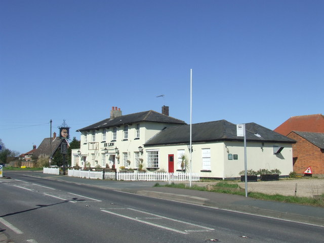
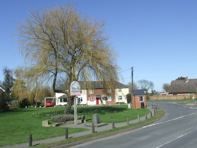
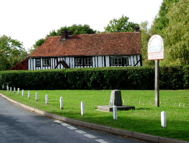
Langenhoe Images

Images are sourced within 2km of 51.827295/0.911826 or Grid Reference TM0018. Thanks to Geograph Open Source API. All images are credited.

A nice view of Abberton Reservoir Well; wasn't it nice of the landowners to create a permissive path/bridleway that follows some sections of the reservoir; cos this really does make a good walk with plenty of superb views; like this one for instance. Reminds me of the beautiful river estuaries of the Colne & Stour in places. All that's needed is a path to connect Lodge Lane; Peldon to the B1026; so don't have to walk along a dangerous section of the Wigborough Road, like one has to do at the moment!
A nice view of Abberton Reservoir
Well; wasn't it nice of the landowners to create a permissive path/bridleway that follows some sections of the reservoir; cos this really does make a good walk with plenty of superb views; like this one for instance. Reminds me of the beautiful river estuaries of the Colne & Stour in places. All that's needed is a path to connect Lodge Lane; Peldon to the B1026; so don't have to walk along a dangerous section of the Wigborough Road, like one has to do at the moment!
Another nice view of Abberton Reservoir
View of St Andrews church & Abberton Reservoir
Farm buildings at Abberton Hall Taken from the footpath to the church.
Farm buildings at Abberton Hall
Taken from the footpath to the church.
Dereliction on the Mersea Rd The house in the background located on  the B1025 has been empty since at least the mid 1960’s. The signpost indicates why TM01 is going to be difficult to complete, several square kilometres are covered by the  Fingringhoe army ranges that are closed to the public.
Dereliction on the Mersea Rd
The house in the background located on the B1025 has been empty since at least the mid 1960’s. The signpost indicates why TM01 is going to be difficult to complete, several square kilometres are covered by the Fingringhoe army ranges that are closed to the public.
Cereal crop A short distance south of Tudhoe Farm.
Cereal crop
A short distance south of Tudhoe Farm.
Fingrinhoe Ranges Some of the training infrastructure on this military rifle range. Taken just south of South House Farm, from the public footpath which skirts part of the northern edge of the ranges. The footpath can only be walked when the red flags are not flying.
Fingrinhoe Ranges
Some of the training infrastructure on this military rifle range. Taken just south of South House Farm, from the public footpath which skirts part of the northern edge of the ranges. The footpath can only be walked when the red flags are not flying.
Sheep and buttercups Sheep grazing in a field by Haye Lane.
Sheep and buttercups
Sheep grazing in a field by Haye Lane.
Crossroad in Abberton Taken from Layer Road, with Mersea Road crossing and looking towards Fingrinhoe Road.
Crossroad in Abberton
Taken from Layer Road, with Mersea Road crossing and looking towards Fingrinhoe Road.
Haye Lane, Abberton A lane north of the village of Abberton.
Haye Lane, Abberton
A lane north of the village of Abberton.
Farm buildings, Langenhoe
Abberton Road near Abberton, Essex
Lodge Lane near Abberton, Essex The non-standard sign and speed limit suggest that this may be a private road.
Lodge Lane near Abberton, Essex
The non-standard sign and speed limit suggest that this may be a private road.
Road junction near Abberton A road junction near the village of Abberton in Essex.
Road junction near Abberton
A road junction near the village of Abberton in Essex.
School Lane near Abberton, Essex
The Lion, Abberton The Lion pub in the village of Abberton, Essex
The Lion, Abberton
The Lion pub in the village of Abberton, Essex
Abberton, Essex The sign is for Abberton and Langenhoe.  Langenhoe is the name of a small settlement immediately to the south of the centre of Abberton.

The stone in front of the village sign is a memorial to villagers killed during the two World Wars.
Abberton, Essex
The sign is for Abberton and Langenhoe. Langenhoe is the name of a small settlement immediately to the south of the centre of Abberton. The stone in front of the village sign is a memorial to villagers killed during the two World Wars.
Show me another place!

Langenhoe is located at Grid Ref: TM0018 (Lat: 51.827295, Lng: 0.911826)

Administrative County: Essex

District: Colchester

Police Authority: Essex

What 3 Words

///tangible.sailors.harmonica. Near Rowhedge, Essex

Nearby Locations

Langenhoe

Related Wikis

Langenhoe

Langenhoe is a village in the City of Colchester district of Essex, England, located south of Colchester. According to the 2001 census it had a population...

Abberton, Essex

Abberton is a village in the City of Colchester district of Essex, England. It is located approximately 0.62 mi (1.00 km) east of Abberton Reservoir and...

1884 Colchester earthquake

The Colchester earthquake, also known as the Great English earthquake, occurred on the morning of 22 April 1884 at 09:18. It caused considerable damage...

Peldon

Peldon is a village and civil parish in the Colchester borough of Essex, England. With Salcott, Virley, Great Wigborough and Little Wigborough, it forms...

Roman River SSSI

Roman River is a 275.6-hectare (681-acre) biological Site of Special Scientific Interest (SSSI) south of Colchester in Essex. Two areas, Friday Wood and...

Ray Island

Ray Island, also known as the Ray, is a 40.5-hectare (100-acre) nature reserve west of Mersea Island in Essex. It is owned by the National Trust, who bought...
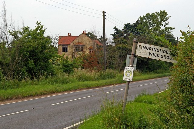
Fingringhoe

Fingringhoe is a village and civil parish in the City of Colchester district of Essex, England. The centre of the village is classified as a conservation...
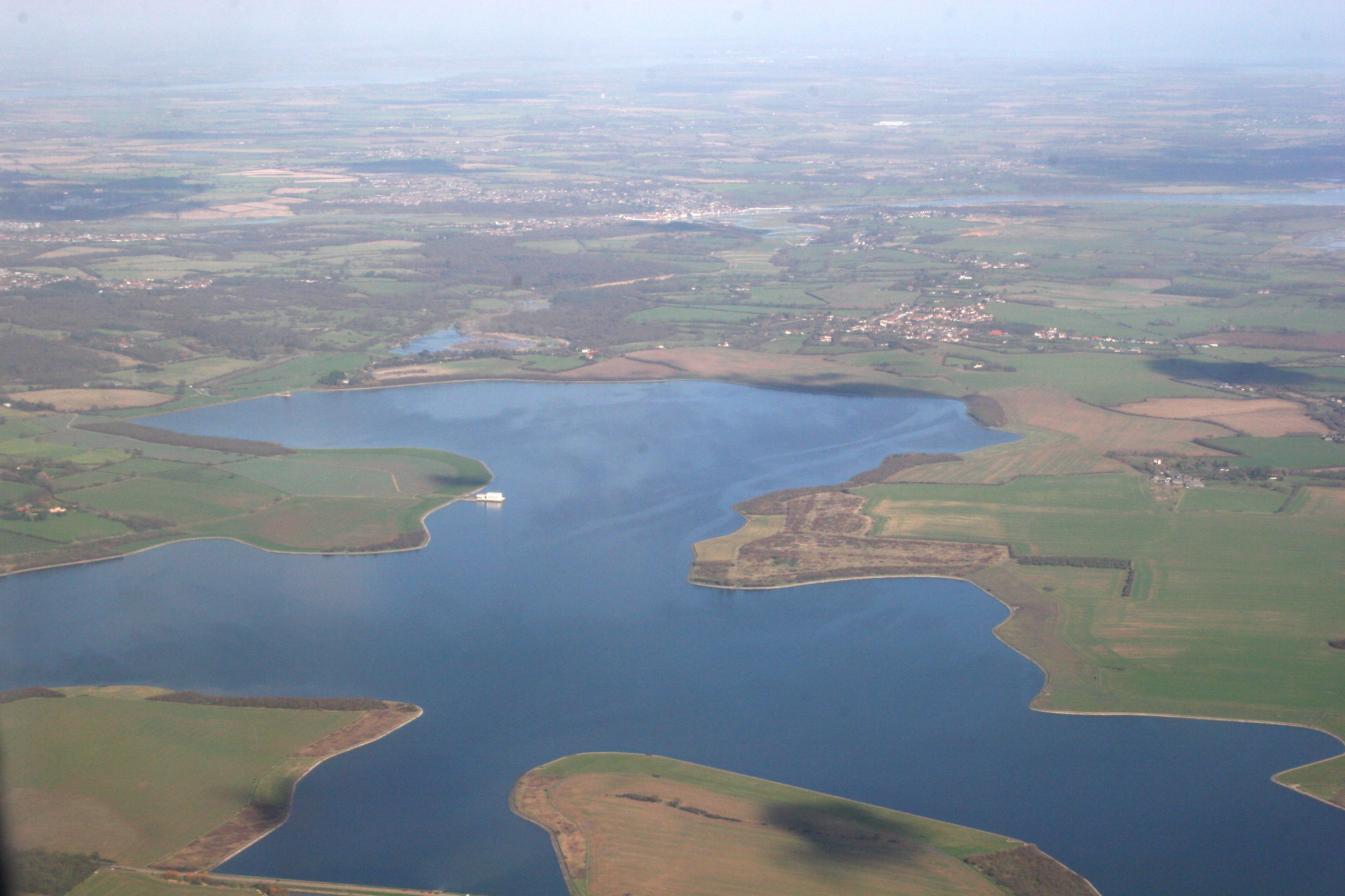
Abberton Reservoir

Abberton Reservoir is a pumped storage freshwater reservoir in eastern England near the Essex coast, with an area of 700 hectares (1,700 acres). Most of...

Nearby Amenities

Located within 500m of 51.827295,0.911826
Abberton
Traffic Sign: city_limit
Lat/Long: 51.826328/0.9122205
Rectory
Naptan AtcoCode: 150014012014
Naptan Bearing: S
Naptan BusStopType: CUS
Naptan CommonName: Rectory
Naptan Crossing: Rectory Lane
Naptan Indicator: S-bound
Naptan Landmark: Rectory
Naptan NaptanCode: esxgdgwt
Naptan Street: Colchester Road
Naptan Verified: no
Public Transport: platform
Source: naptan_import
Lat/Long: 51.8234392/0.9131491
Rectory
Naptan AtcoCode: 150014012Y14
Naptan Bearing: N
Naptan BusStopType: CUS
Naptan CommonName: Rectory
Naptan Crossing: Rectory Lane
Naptan Indicator: N-bound
Naptan Landmark: Rectory
Naptan NaptanCode: esxjdjgd
Naptan Street: Colchester Road
Naptan Verified: no
Public Transport: platform
Source: naptan_import
Lat/Long: 51.8232054/0.9131485
Langenhoe
Place: village
Lat/Long: 51.8313868/0.9137385
Bus Stop
Butterfly Lodge
Naptan AtcoCode: 1500140123Y1
Naptan NaptanCode: esxjmtjg
Public Transport: platform
Source: naptan
Lat/Long: 51.829276/0.9110486
Bus Stop
Butterfly Lodge
Naptan AtcoCode: 150014012301
Naptan NaptanCode: esxjmtjd
Public Transport: platform
Source: naptan
Lat/Long: 51.8292772/0.9109387
Crossing
Crossing: uncontrolled
Crossing Island: no
Crossing Markings: zebra
Lat/Long: 51.831615/0.9102078
Power: pole
Lat/Long: 51.828685/0.9120584
Power: pole
Lat/Long: 51.8289734/0.9135738
Power: pole
Lat/Long: 51.8308615/0.9148693
Power: pole
Lat/Long: 51.8306642/0.9164974
Power: pole
Lat/Long: 51.8301205/0.9155264
Power: pole
Lat/Long: 51.8292436/0.9150758
Power: pole
Lat/Long: 51.8284662/0.9149659
Power: pole
Lat/Long: 51.8276042/0.9148586
Power: pole
Lat/Long: 51.827034/0.9147674
Power: pole
Lat/Long: 51.8263095/0.9147057
Power: pole
Lat/Long: 51.8255868/0.9145796
Power: pole
Lat/Long: 51.8248739/0.9144804
Power: pole
Lat/Long: 51.8239704/0.9143651
Power: pole
Lat/Long: 51.8232128/0.9142899
Colour: red and white
Marker: aerial
Material: plastic
Utility: gas
Lat/Long: 51.8300755/0.9078934
Colour: yellow
Marker: post
Material: plastic
Utility: gas
Lat/Long: 51.8300717/0.9078962
The data included in this document is from www.openstreetmap.org. The data is made available under ODbL.

Have you been to Langenhoe?

Leave your review of Langenhoe below (or comments, questions and feedback).