Langdon Hills
Settlement in Essex Basildon
England
Langdon Hills

Langdon Hills is a village and civil parish located in the county of Essex, England. Situated on a hilly ridge, it is part of the Basildon district and lies about 25 miles east of central London. The village is predominantly residential, with a population of around 6,000 people.
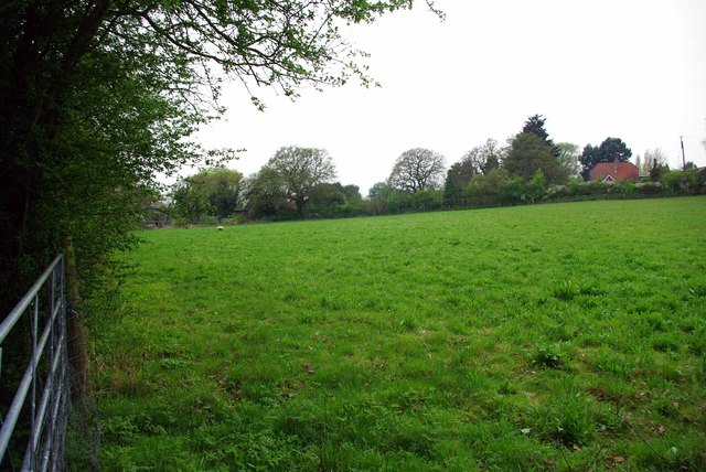
Langdon Hills is known for its picturesque countryside and natural beauty. It is surrounded by the Langdon Nature Reserve, a designated Site of Special Scientific Interest (SSSI), which encompasses ancient woodlands, meadows, and diverse wildlife. The reserve offers several walking trails, providing visitors with the opportunity to explore its rich biodiversity.
The village itself has a long history, dating back to the medieval period. It was mentioned in the Domesday Book of 1086 as "Longaduna," indicating its ancient origins. Over the years, Langdon Hills has developed into a thriving community with a range of amenities and services, including a primary school, a village hall, and a few local shops.
Langdon Hills also benefits from its proximity to nearby towns and cities. Basildon, with its larger commercial and retail centers, is just a short distance away, offering residents access to a wider range of facilities. Additionally, the village is well-connected by road, with the A127 and A13 providing easy access to London and other parts of Essex.
Overall, Langdon Hills offers residents a peaceful and idyllic rural setting, combined with convenient access to urban amenities, making it an attractive place to live.
If you have any feedback on the listing, please let us know in the comments section below.
Langdon Hills Images
Images are sourced within 2km of 51.558773/0.414219 or Grid Reference TQ6787. Thanks to Geograph Open Source API. All images are credited.


Langdon Hills is located at Grid Ref: TQ6787 (Lat: 51.558773, Lng: 0.414219)
Administrative County: Essex
District: Basildon
Police Authority: Essex
What 3 Words
///closed.enhancement.risen. Near Basildon, Essex
Nearby Locations
Related Wikis

Langdon Hills
Langdon Hills is an area of Basildon in the borough of Basildon in Essex, England. It is located south of Laindon railway station on the London, Tilbury...

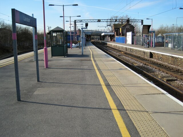
Laindon railway station
Laindon railway station is on the London, Tilbury and Southend line, serving the town of Laindon in Essex, England. It is 22 miles 69 chains (36.8 km)...

Little Burstead
Little Burstead is a village and civil parish in Essex, England. It lies 2.25 miles (4 km) south-south-west of Billericay and 4.5 miles (7 km) east-south...
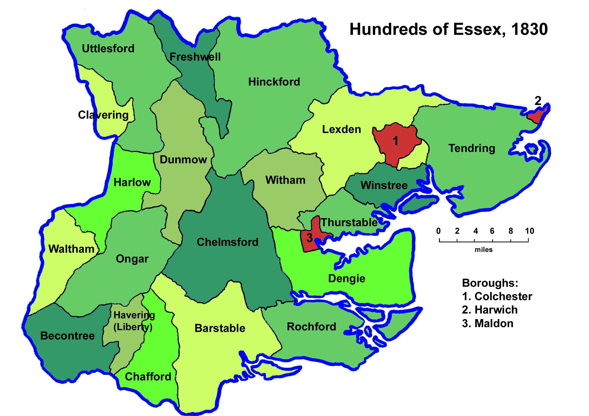
Barstable Hundred
Barstable was a Hundred in the English County of Essex. Both the hundred and the manor with the same name are mentioned in the Domesday Book of 1086. A...

Dunton Plotlands
The Dunton Plotlands was an area of small rural plots of land in Dunton Wayletts, southern Essex inhabited from the 1930s to the 1980s.The 'plotlands'...
Langdon Nature Reserve
Langdon Nature Reserve (also described as Langdon Nature Discovery Park) is a 210 hectare nature reserve west of Basildon in Essex. It is managed by the...

Laindon
Laindon is a town and civil parish, which now forms part of the town of Basildon, in the Basildon district, in Essex, England. It is between Basildon and...
Horndon Meadow
Horndon Meadow is a 0.8-hectare (2.0-acre) nature reserve north of Stanford-le-Hope in Essex. It is managed by the Essex Wildlife Trust.This site is an...
Nearby Amenities
Located within 500m of 51.558773,0.414219Have you been to Langdon Hills?
Leave your review of Langdon Hills below (or comments, questions and feedback).