Cat Cleugh
Valley in Kirkcudbrightshire
Scotland
Cat Cleugh

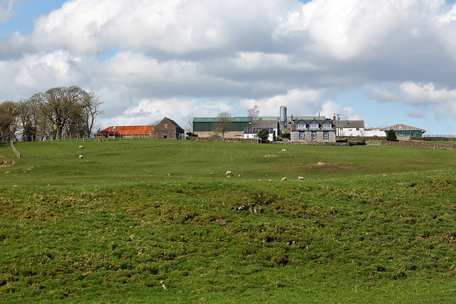
Cat Cleugh is a picturesque valley located in the region of Kirkcudbrightshire, Scotland. Nestled amidst the rolling hills and lush greenery, this valley is renowned for its stunning natural beauty and tranquil atmosphere.
Surrounded by the Galloway Forest Park, Cat Cleugh offers breathtaking views of the surrounding landscape, with its cascading waterfalls, meandering streams, and dense woodlands. It is a haven for nature enthusiasts and outdoor adventurers, who can explore the numerous walking trails and hiking routes that crisscross the valley.
The area is rich in wildlife, with a diverse range of flora and fauna calling Cat Cleugh home. Visitors may spot red deer, red squirrels, and various bird species as they explore the valley. It is also an ideal spot for birdwatching, with opportunities to observe species such as golden eagles, peregrine falcons, and buzzards.
In addition to its natural beauty, Cat Cleugh is steeped in history. The valley is dotted with ancient ruins and archaeological sites, providing glimpses into its past. These include remnants of Iron Age hill forts, Roman encampments, and medieval castles, all of which add to the charm and intrigue of the area.
Overall, Cat Cleugh is a hidden gem in Kirkcudbrightshire, offering visitors a chance to immerse themselves in the beauty of nature and discover the rich history of the region. Whether it's a leisurely stroll through the valley or an adventurous hike up the surrounding hills, Cat Cleugh provides an unforgettable experience for all who venture into its embrace.
If you have any feedback on the listing, please let us know in the comments section below.
Cat Cleugh Images
Images are sourced within 2km of 55.047694/-3.7703434 or Grid Reference NX8674. Thanks to Geograph Open Source API. All images are credited.


Cat Cleugh is located at Grid Ref: NX8674 (Lat: 55.047694, Lng: -3.7703434)
Unitary Authority: Dumfries and Galloway
Police Authority: Dumfries and Galloway
What 3 Words
///convey.boomed.unity. Near Dumfries, Dumfries & Galloway
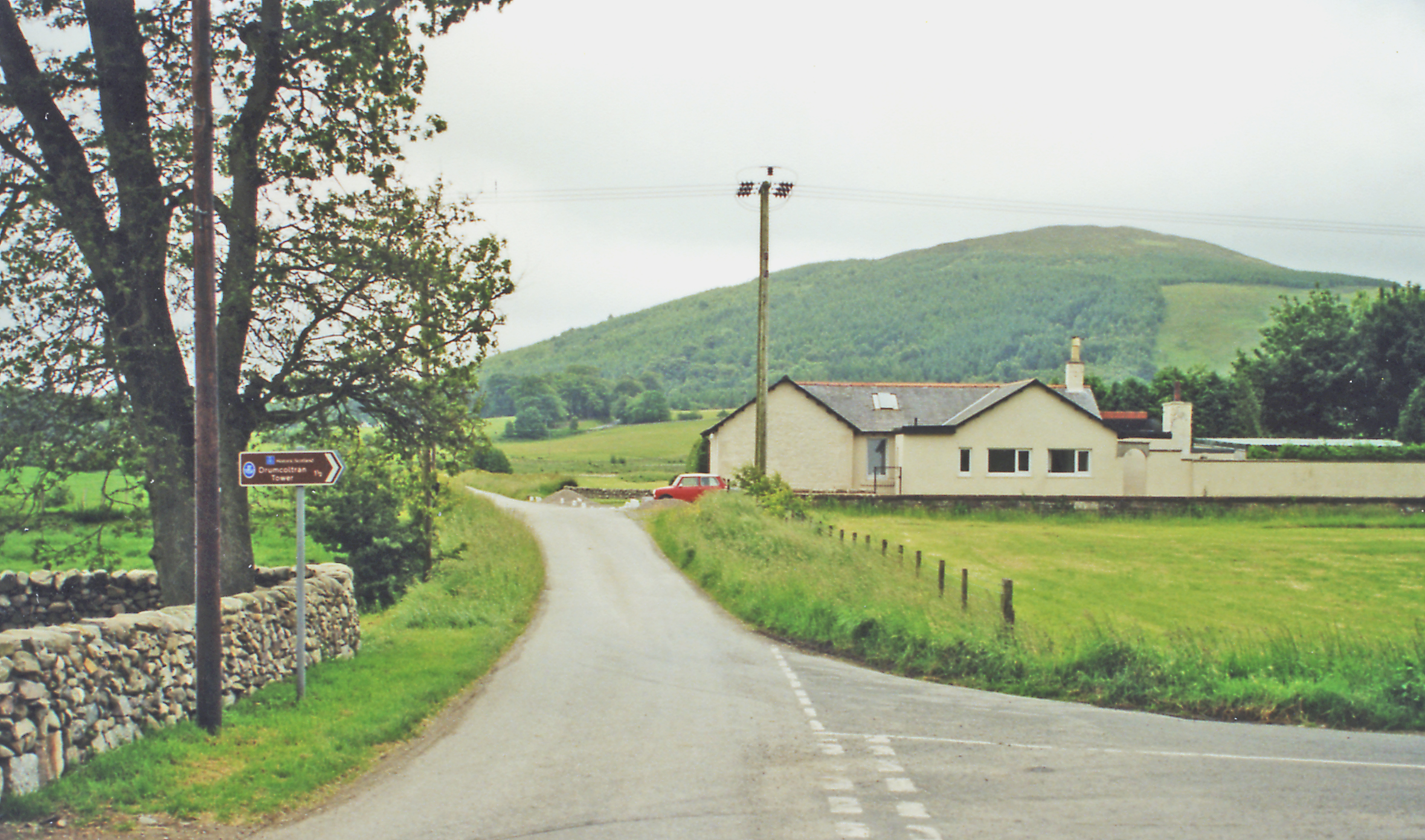
Nearby Locations
Related Wikis

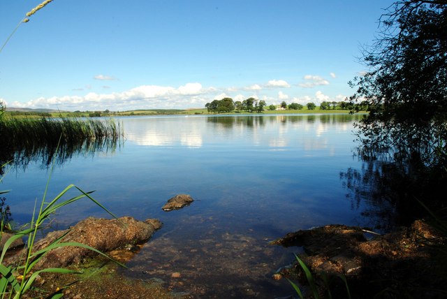
Lochrutton Loch
Lochrutton Loch is a large, lowland freshwater loch that lies to the west of Dumfries, Scotland. The loch trends from north to south and is 0.75 mi (1...
Milton Loch
Milton Loch is an alkaline freshwater loch located in Dumfries and Galloway, Scotland. In the loch and nearby are archaeological sites including three...

Crocketford
Crocketford (/ˈkrɒkɪtfɔːd/, also frequently /ˈkrɒkɪtfəd/) also known as Ninemile Bar (Scottish Gaelic: Ath Crogaid), as it is approximately equidistant...
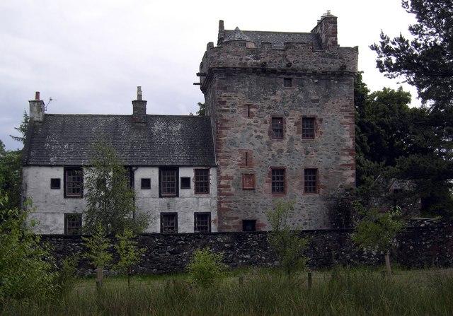
Hills Tower
Hills Tower is a sixteenth-century square tower house, with an adjoining eighteenth-century wing, near Dumfries in Scotland. Originally built around 1527...

Easthill stone circle
Easthill stone circle (grid reference NX91937388), also known as the Seven Grey Stanes, is a small oval stone circle 3¾ miles south-west of Dumfries. Eight...
Killywhan railway station
Killywhan railway station served the hamlet of Killywhan, Dumfries and Galloway, Scotland from 1859 to 1959 on the Castle Douglas and Dumfries Railway...

Glenkiln Sculpture Park
Glenkiln Sculpture Park was a sculpture landscape in the historic county of Kirkcudbrightshire in Dumfries and Galloway, south-west Scotland. After one...

Lochanhead railway station
Lochanhead railway station served the settlement of Lochanhead, Dumfries and Galloway, Scotland from 1859 to 1965 on the Castle Douglas and Dumfries Railway...
Nearby Amenities
Located within 500m of 55.047694,-3.7703434Have you been to Cat Cleugh?
Leave your review of Cat Cleugh below (or comments, questions and feedback).