Alie's Cleuch

Valley in Dumfriesshire

Scotland

Alie's Cleuch

Enterkinfoot Viaduct The viaduct as in 1979, before the trees grew to hide most of it. The Google Street View image <span class="nowrap"><a title="https://goo.gl/maps/1ZwnD5X8yByzeVQ26" rel="nofollow ugc noopener" href="https://goo.gl/maps/1ZwnD5X8yByzeVQ26">Link</a><img style="margin-left:2px;" alt="External link" title="External link - shift click to open in new window" src="https://s1.geograph.org.uk/img/external.png" width="10" height="10"/></span> shows the viaduct almost hidden.
Enterkinfoot Viaduct Credit: John Lawson

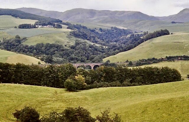
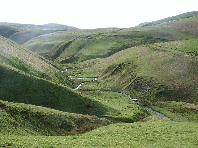
Alie's Cleuch is a picturesque valley located in Dumfriesshire, Scotland. Nestled within the Southern Uplands, this valley is renowned for its stunning natural beauty and rich history. It stretches for approximately 3 miles, running parallel to the River Esk.

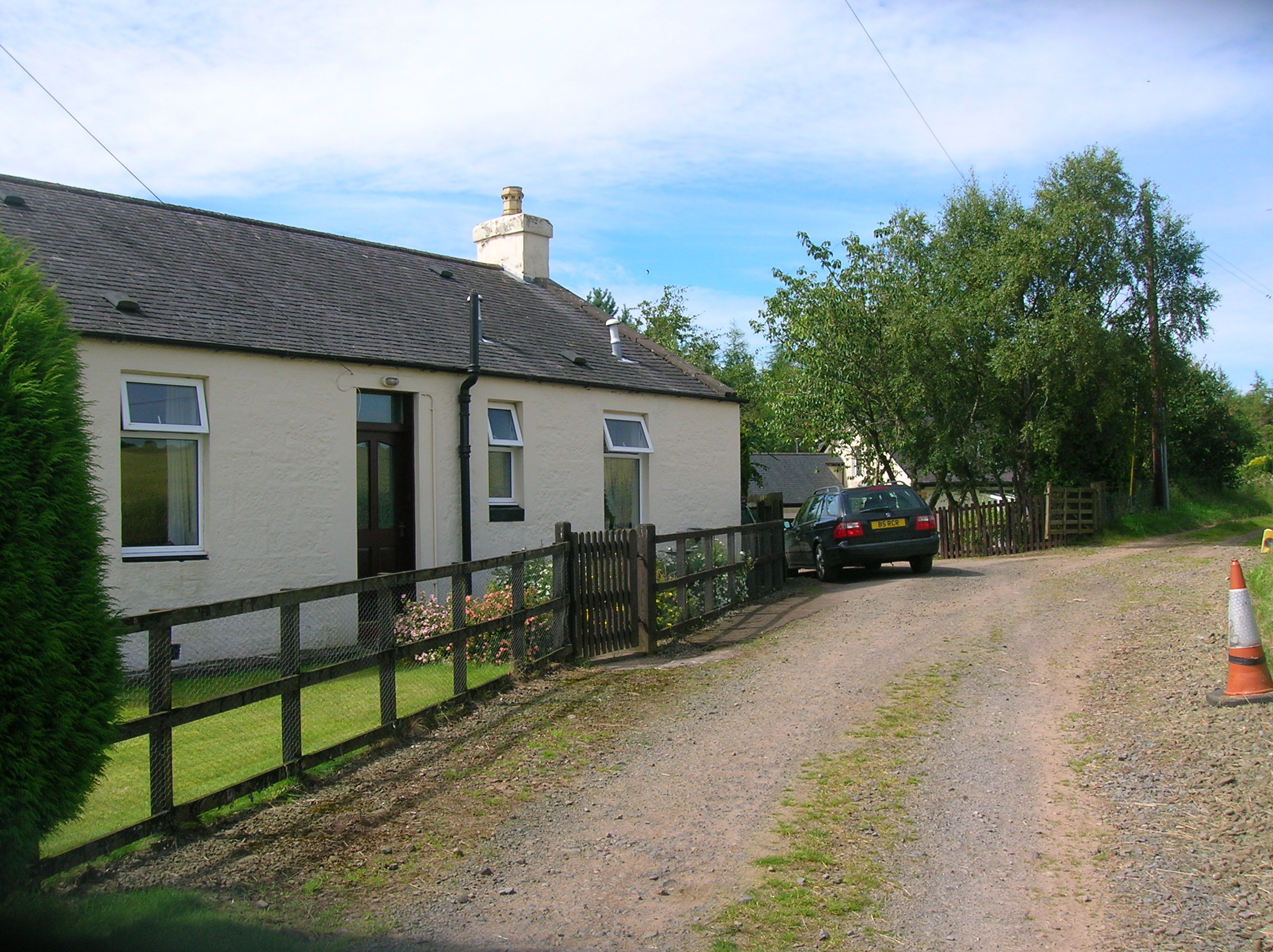
The landscape of Alie's Cleuch is characterized by rolling hills, lush green meadows, and dense forests, creating a diverse habitat for various flora and fauna. The valley is dotted with charming cottages and farmhouses, adding to its idyllic charm. Visitors can enjoy breathtaking panoramic views of the surrounding countryside from various vantage points within the valley.

The valley is named after Alie's Cleuch Burn, a small stream that runs through the heart of the valley. The crystal-clear waters of the burn are a haven for wildlife, making it a popular spot for birdwatching and nature enthusiasts. The valley is also home to several walking trails, allowing visitors to explore the area on foot and soak in the tranquility of the surroundings.

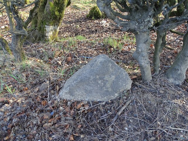
Historically, Alie's Cleuch has been an important site for agriculture, with evidence of farming activities dating back centuries. The valley has also played a role in the region's industrial past, with remnants of old mills and mining activities still visible in certain areas.

Alie's Cleuch offers a peaceful and serene escape from the hustle and bustle of city life. Its natural beauty, coupled with its historical significance, makes it a must-visit destination for nature lovers, history buffs, and anyone seeking a tranquil retreat in the Dumfriesshire countryside.

If you have any feedback on the listing, please let us know in the comments section below.

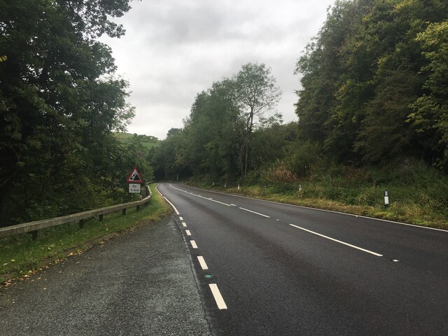
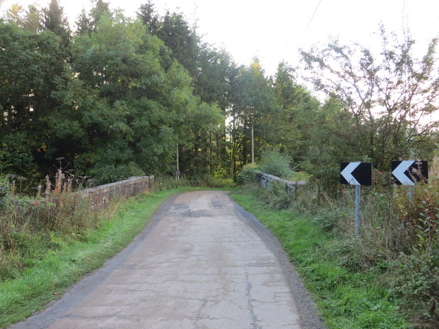
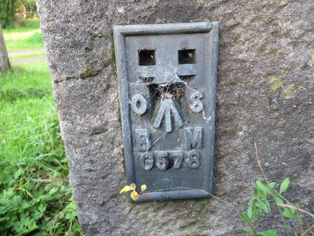
Alie's Cleuch Images

Images are sourced within 2km of 55.326737/-3.7905204 or Grid Reference NS8605. Thanks to Geograph Open Source API. All images are credited.

Enterkinfoot Viaduct The viaduct as in 1979, before the trees grew to hide most of it. The Google Street View image <span class="nowrap"><a title="https://goo.gl/maps/1ZwnD5X8yByzeVQ26" rel="nofollow ugc noopener" href="https://goo.gl/maps/1ZwnD5X8yByzeVQ26">Link</a><img style="margin-left:2px;" alt="External link" title="External link - shift click to open in new window" src="https://s1.geograph.org.uk/img/external.png" width="10" height="10"/></span> shows the viaduct almost hidden.
Enterkinfoot Viaduct
The viaduct as in 1979, before the trees grew to hide most of it. The Google Street View image LinkExternal link shows the viaduct almost hidden.
20 Miles to Dumfries Old milestone on the other side of the road from Auchenbraith.   Half-buried, knocked over, and neglected looking.   20 miles to Dumfries from here.
Photo taken on the 27th March 2022.
20 Miles to Dumfries
Old milestone on the other side of the road from Auchenbraith. Half-buried, knocked over, and neglected looking. 20 miles to Dumfries from here. Photo taken on the 27th March 2022.
A702 towards Thornhill
Lay-by on the A702
Lay-by on the A702
Lay-by on the A76
Lay-by on the A76
A76 towards Sanquhar
In woodland adjacent to A76 The woodland lies between the A76 which is visible on the left side of the image and a railway route uphill to the right in the image.
In woodland adjacent to A76
The woodland lies between the A76 which is visible on the left side of the image and a railway route uphill to the right in the image.
Minor stream in woodland adjacent to A76 The woodland is on the north side of the A76 a few kilometres south-west of the village of Mennock.
Although trees confuse the view an embankment of a railway route can be seen in the upper quarter of the image showing as a horizontal line a little below the skyline.
Minor stream in woodland adjacent to A76
The woodland is on the north side of the A76 a few kilometres south-west of the village of Mennock. Although trees confuse the view an embankment of a railway route can be seen in the upper quarter of the image showing as a horizontal line a little below the skyline.
A76 near Woodhouselea
A76 due south of Maggie's Cleuch
Retaining wall along A76 near Priestcrown Wood
Enterkinfoot on A76
Enterkinfoot on A76
A76 west of Hapland Cottage Both ends of this bend signs warn the motorist of overbalancing lorries
A76 west of Hapland Cottage
Both ends of this bend signs warn the motorist of overbalancing lorries
Hapland Cottage Railway Bridge Viewed from the east.
Hapland Cottage Railway Bridge
Viewed from the east.
Ordnance Survey Flush Bracket G4576 This can be found on the parapet of Hapland Cottage Bridge.
For more detail see : <span class="nowrap"><a title="http://www.bench-marks.org.uk/bm17335" rel="nofollow ugc noopener" href="http://www.bench-marks.org.uk/bm17335">Link</a><img style="margin-left:2px;" alt="External link" title="External link - shift click to open in new window" src="https://s1.geograph.org.uk/img/external.png" width="10" height="10"/></span>
Ordnance Survey Flush Bracket G4576
This can be found on the parapet of Hapland Cottage Bridge. For more detail see : LinkExternal link
Ordnance Survey Flush Bracket G578 This can be found on the wall of Mill House at Enterkinfoot.
For more detail see : <span class="nowrap"><a title="http://www.bench-marks.org.uk/bm2526" rel="nofollow ugc noopener" href="http://www.bench-marks.org.uk/bm2526">Link</a><img style="margin-left:2px;" alt="External link" title="External link - shift click to open in new window" src="https://s1.geograph.org.uk/img/external.png" width="10" height="10"/></span>
Ordnance Survey Flush Bracket G578
This can be found on the wall of Mill House at Enterkinfoot. For more detail see : LinkExternal link
Late Afternoon Near Muiryhill A quiet corner of Dumfriesshire near the Dalveen Pass under late afternoon skies.
Late Afternoon Near Muiryhill
A quiet corner of Dumfriesshire near the Dalveen Pass under late afternoon skies.
A View To Eastside A view to Eastside and beyond, the 'golf ball' radome of the radar station on Lowther Hill.
A View To Eastside
A view to Eastside and beyond, the 'golf ball' radome of the radar station on Lowther Hill.
Show me another place!

Alie's Cleuch is located at Grid Ref: NS8605 (Lat: 55.326737, Lng: -3.7905204)

Unitary Authority: Dumfries and Galloway

Police Authority: Dumfries and Galloway

What 3 Words

///lifeguard.neater.pylon. Near Sanquhar, Dumfries & Galloway

Related Wikis

Kirkbride, Durisdeer

Kirkbride, previously Kilbride was an ancient parish close to the village of Enterkinfoot, the lands of which lay on both sides of the River Nith in the...

Enterkinfoot

Enterkinfoot is a small village or hamlet which lies 6 miles (9.7 km) north of Thornhill on the A76 on the route to Sanquhar, in Dumfriesshire, Durisdeer...

Durisdeer

Durisdeer is a small village in Dumfries and Galloway, south-west Scotland, and in the historic county of Dumfries-shire. It lies 6 miles (9.7 km) north...

Carronbridge railway station

Carronbridge railway station was a railway station in Dumfries and Galloway north of Dumfries, serving the village of Carronbridge and district. The station...

Drumlanrig Castle

Drumlanrig Castle is situated on the Queensberry Estate in Dumfries and Galloway, Scotland. The category A listed castle is the Dumfriesshire home of the...

Drumlanrig

Drumlanrig (Scottish Gaelic: Druim Lannraig) is a settlement in Dumfries and Galloway, Scotland, which is best known for nearby Drumlanrig Castle. The...

Mennock Lye Goods Depot

Mennock Lye Goods Depot or Mennock Siding was a railway freight facility located off the A76 in the hamlet of Mennock that lies circa two miles (three...

Mennock

Mennock is a small village or hamlet which lies 2 miles (3.2 km) south-east of Sanquhar on the A76, in Dumfriesshire, in the District Council Region of...

Nearby Amenities

Located within 500m of 55.326737,-3.7905204
Power: pole
Lat/Long: 55.3257097/-3.798023
Power: pole
Lat/Long: 55.3257254/-3.7965444
Power: pole
Lat/Long: 55.3257326/-3.795857
Power: pole
Lat/Long: 55.325484/-3.7945608
Power: pole
Lat/Long: 55.3251569/-3.7929485
Power: pole
Lat/Long: 55.3247864/-3.7911262
Power: pole
Lat/Long: 55.3245861/-3.7901631
Power: pole
Lat/Long: 55.3243954/-3.7892233
Power: pole
Lat/Long: 55.3241576/-3.788031
Power: pole
Lat/Long: 55.3239029/-3.7867666
Power: pole
Lat/Long: 55.3236772/-3.7856423
The data included in this document is from www.openstreetmap.org. The data is made available under ODbL.

Have you been to Alie's Cleuch?

Leave your review of Alie's Cleuch below (or comments, questions and feedback).