Laney Green

Settlement in Staffordshire South Staffordshire

England

Laney Green

M6 southbound seen from M6 toll road
M6 southbound seen from M6 toll road Credit: Colin Pyle

Laney Green is a small village located in the county of Staffordshire, England. Situated in the South Staffordshire district, it is nestled amidst picturesque countryside and is surrounded by several other charming villages. Laney Green is approximately 10 miles northwest of the county town of Stafford, making it easily accessible for residents and visitors alike.

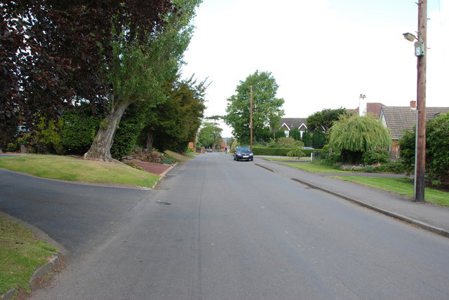
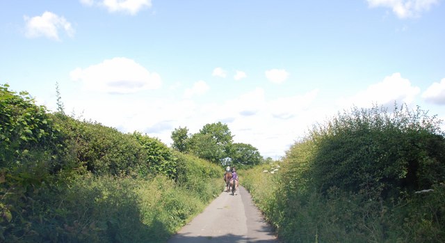
The village is home to a close-knit community of around 300 residents. It boasts a tranquil and idyllic atmosphere, with its quaint cottages and traditional architecture adding to its rural charm. Laney Green is surrounded by lush green fields and rolling hills, providing ample opportunities for nature walks and outdoor activities.

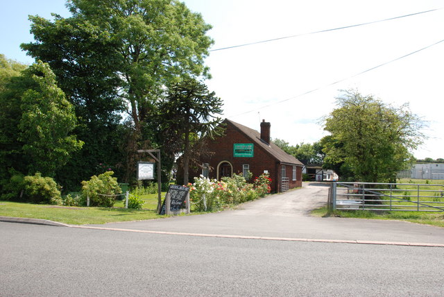
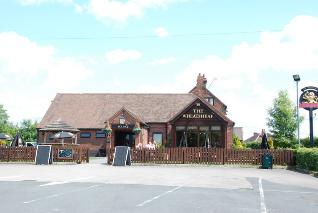
While Laney Green may be small in size, it offers several amenities to cater to the needs of its residents. These include a village hall, where community events and gatherings take place, as well as a local pub that serves as a social hub for both residents and visitors.

In terms of local services, residents of Laney Green have access to a nearby primary school and a range of shops and amenities in the neighboring villages. The village is well-connected to the wider region, with regular bus services linking it to nearby towns and cities.

Overall, Laney Green offers a peaceful and picturesque setting for those seeking a rural lifestyle in Staffordshire. Its strong sense of community and beautiful surroundings make it an attractive place to call home.

If you have any feedback on the listing, please let us know in the comments section below.
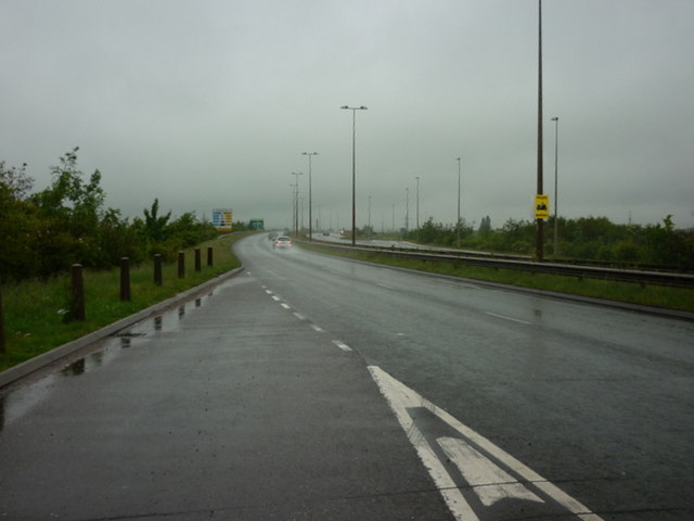
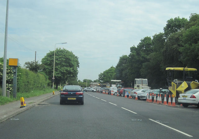
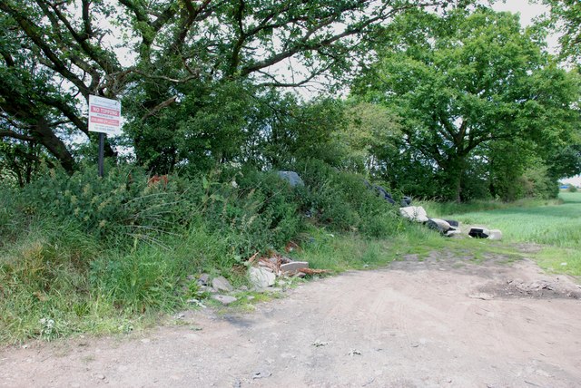
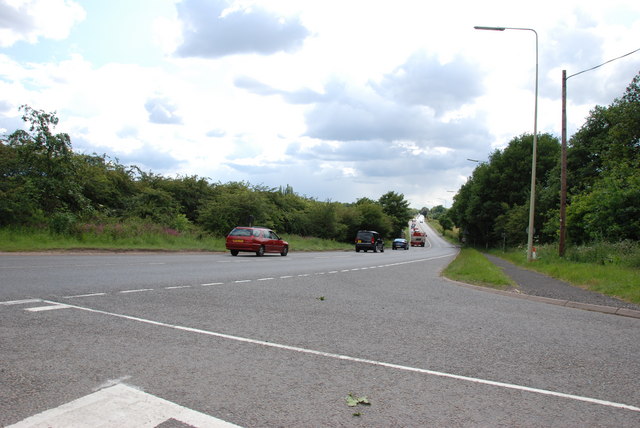
Laney Green Images

Images are sourced within 2km of 52.659332/-2.059106 or Grid Reference SJ9606. Thanks to Geograph Open Source API. All images are credited.

M6 southbound seen from M6 toll road
The A460 towards the M6 Toll Road
A460 from Old Cannock Road Junction Near Sharehill. The area to the right of the road is the site of a large boot sale
A460 from Old Cannock Road Junction
Near Sharehill. The area to the right of the road is the site of a large boot sale
Great Saredon
Great Saredon
Saredon Hall Farm It looks as if there are several Barn conversions here now.
Saredon Hall Farm
It looks as if there are several Barn conversions here now.
M6 and M6 Toll road junction M6 north bound on the left, M6 south bound on the right, M6 Toll road in the middle, where are all the vehicles that are supposed to use it.
M6 and M6 Toll road junction
M6 north bound on the left, M6 south bound on the right, M6 Toll road in the middle, where are all the vehicles that are supposed to use it.
Heading towards Little Saredon
Houses, Little Saredon
Didn't read the sign
A460 Towards Shareshill
Start of the houses Wood Lane, Wedges Mills
Church Road, Shareshill
Shareshill Post Office and Stores, Shareshill
Traffic Jam, Orchard Lane. Shareshill
Saredon Hill Farm, Saredon
The Hollies Poultry Farm, Wolverhampton Road
The Wheatsheaf, Wolverhampton Road This part of the Wolverhampton road was the main road from Cannock to Wolverhampton until it was bypassed when the M6 Toll road and dual carriageway were built, and now it is only a dead end road.
The Wheatsheaf, Wolverhampton Road
This part of the Wolverhampton road was the main road from Cannock to Wolverhampton until it was bypassed when the M6 Toll road and dual carriageway were built, and now it is only a dead end road.
Main Entrance Hollybush Garden Centre
Show me another place!

Laney Green is located at Grid Ref: SJ9606 (Lat: 52.659332, Lng: -2.059106)

Administrative County: Staffordshire

District: South Staffordshire

Police Authority: Staffordshire

What 3 Words

///ignoring.scoping.bags. Near Featherstone, Staffordshire

Nearby Locations

Laney Green

Related Wikis

Cheslyn Hay Academy

Cheslyn Hay Academy (formerly Cheslyn Hay Sport and Community High School) is a mixed secondary school and sixth form located in Cheslyn Hay in the English...

Saredon

Saredon is a civil parish in South Staffordshire district, Staffordshire, England, situated to the north east of Wolverhampton, West Midlands, and to the...

Cheslyn Hay

Cheslyn Hay is a former mining village and civil parish in the South Staffordshire district of Staffordshire, England. It is 3 miles south of Cannock,...

Shareshill

Shareshill is a village and civil parish in the South Staffordshire district, in the county of Staffordshire, England. The population as measured in the...

Wedges Mills

Wedges Mills is a small village in the South Staffordshire District in Staffordshire, England, close to the border with Cannock Chase District. The area...

Hilton Park services

Hilton Park services is a motorway service station, between junctions 10a and 11 of the M6 motorway in Staffordshire, England. The nearest city is Wolverhampton...
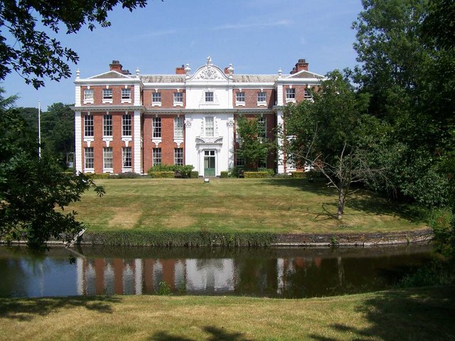
Hilton Hall

Hilton Hall is an 18th-century mansion house now in use as an Office and Business Centre at Hilton, near Wolverhampton, in Staffordshire. It is a Grade...

Wyrley and Cheslyn Hay railway station

Wyrley and Cheslyn Hay railway station served the villages of Great Wyrley and Cheslyn Hay in Staffordshire, England, between 1858 and 1965. == History... ==

Related Videos

Walking The Wyrley & Essington Branch Canal Nature Reserve

A walk along the path of the Wyrley and Essington Branch Canal Nature Reserve. Starting at Sneyd Junction on the current ...

Walking The Staffordshire and Worcestershire Canal (Part 5)

Part 5 of my walk along the towpath of The Staffordshire and Worcestershire Canal. Starting this part of the walk where we left off ...

SERCO SECURITY Claiming Legal Action For Filming A MIGRANT Hotel! 🤯

On this Video we visit the holiday inn located in cannock (West Midlands) where its believed its housing migrants. Serco don't get ...

Nearby Amenities

Located within 500m of 52.659332,-2.059106
Traffic Signals
Traffic Signals: signal
Lat/Long: 52.6583632/-2.0658863
Traffic Signals
Traffic Signals: signal
Lat/Long: 52.6577511/-2.0648608
Bus Stop
M6 Island
Bus: yes
Naptan AtcoCode: 3800C692301
Naptan Bearing: NE
Naptan CommonName: M6 Island
Naptan Indicator: Adj
Naptan Landmark: M6 Island
Naptan Street: Wolverhampton Road
Naptan Verified: no
Public Transport: platform
Source: naptan_import
Lat/Long: 52.6599114/-2.061313
Bus Stop
Hollies Farm
Bus: yes
Naptan AtcoCode: 3800C692302
Naptan Bearing: SW
Naptan CommonName: Hollies Farm
Naptan Indicator: Adj
Naptan Landmark: Hollies Farm
Naptan Street: Wolverhampton Road
Naptan Verified: no
Public Transport: platform
Source: naptan_import
Lat/Long: 52.6598665/-2.0612094
Bus Stop
Wolverhampton Road
Bus: yes
Naptan AtcoCode: 3800C692401
Naptan Bearing: SE
Naptan CommonName: Warstone Road
Naptan Indicator: Adj
Naptan Landmark: M6 Island
Naptan Street: Warstone Road (SE)
Naptan Verified: no
Public Transport: platform
Source: naptan_import
Lat/Long: 52.6576294/-2.060673
Bus Stop
Wolverhampton Road
Bus: yes
Naptan AtcoCode: 3800C692402
Naptan Bearing: NW
Naptan CommonName: Warstone Road
Naptan Indicator: Adj
Naptan Landmark: M6 Island
Naptan Street: Warstone Road (NW)
Naptan Verified: no
Public Transport: platform
Source: naptan_import
Lat/Long: 52.6574849/-2.0607615
Note: End of no stopping sign
Lat/Long: 52.6592707/-2.0625896
Note: No stopping for 2¾ miles sign
Lat/Long: 52.6593544/-2.0629547
Parking
Fee: no
Note: Layby
Parking: surface
Source: survey
Lat/Long: 52.6615791/-2.0620143
Man Made: surveillance
Source: survey
Lat/Long: 52.6606934/-2.0658886
Traffic Signals
Traffic Signals: signal
Lat/Long: 52.6583556/-2.0657041
Traffic Signals
Traffic Signals: signal
Lat/Long: 52.6591082/-2.0628078
Traffic Signals
Traffic Signals: signal
Lat/Long: 52.659149/-2.0626359
Traffic Signals
Traffic Signals: signal
Lat/Long: 52.6593096/-2.0639305
Traffic Signals
Traffic Signals: signal
Lat/Long: 52.6591571/-2.0638713
Traffic Signals
Traffic Signals: signal
Lat/Long: 52.6578685/-2.0648378
The data included in this document is from www.openstreetmap.org. The data is made available under ODbL.

Have you been to Laney Green?

Leave your review of Laney Green below (or comments, questions and feedback).