Alton Cleuch

Valley in Dumfriesshire

Scotland

Alton Cleuch

Drumlanrig Mains In parkland overlooking the River Nith.
Drumlanrig Mains Credit: Russel Wills

Alton Cleuch is a picturesque valley located in the region of Dumfriesshire, Scotland. Situated in the southern part of the country, it lies within the beautiful Scottish Borders. The valley is known for its stunning natural beauty, offering visitors a tranquil and scenic escape from the bustling city life.

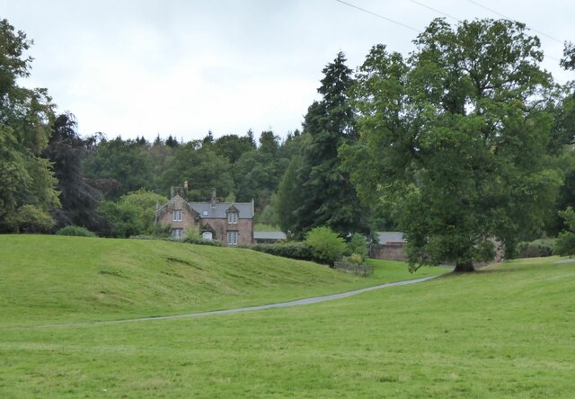
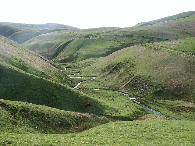
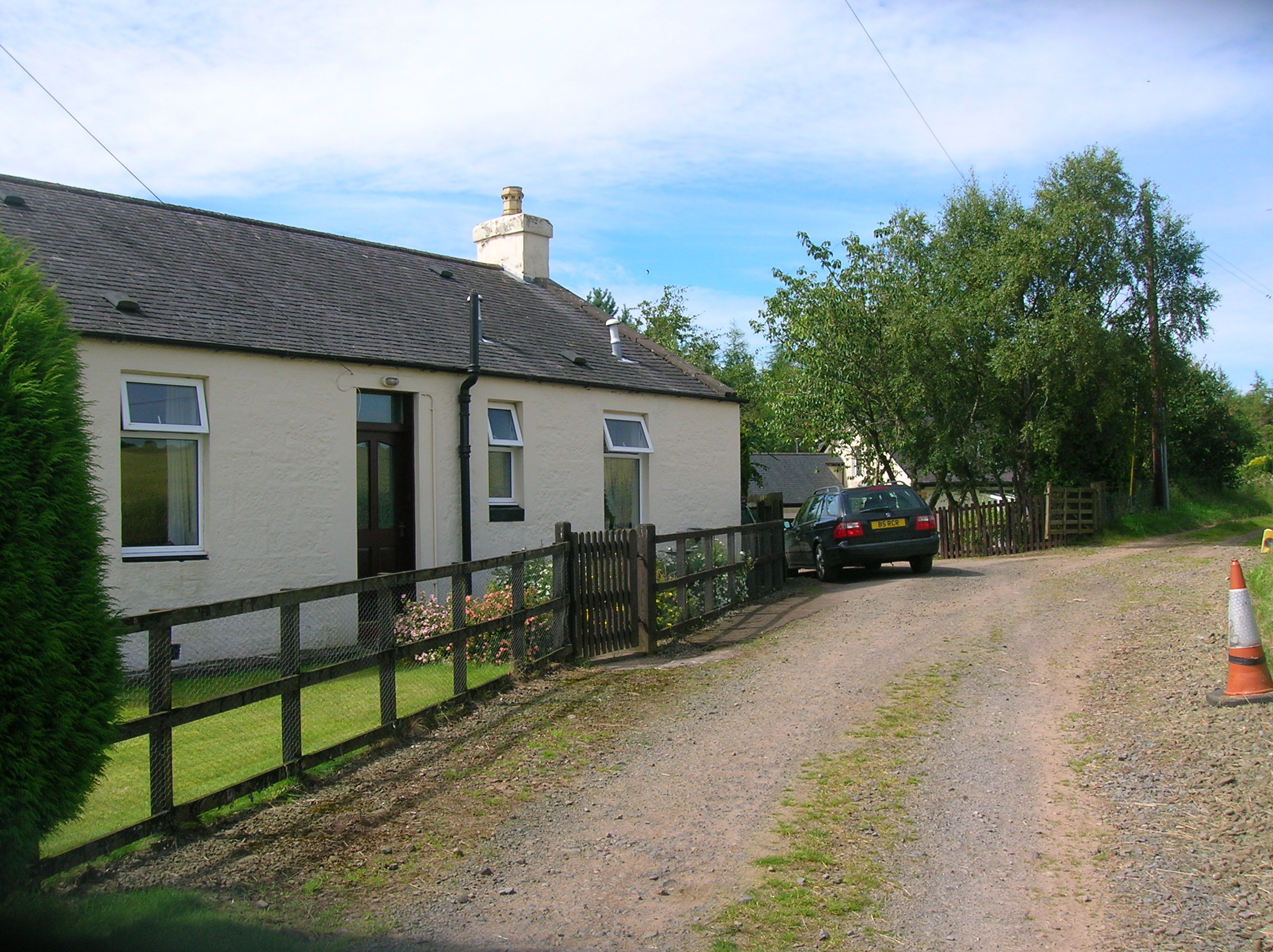
Alton Cleuch is renowned for its rolling green hills, lush forests, and the meandering Alton Water that flows through the valley. The landscape is dotted with charming cottages and farmlands, adding to the idyllic charm of the area. The valley is surrounded by a diverse range of wildlife, making it a popular destination for nature enthusiasts and birdwatchers.

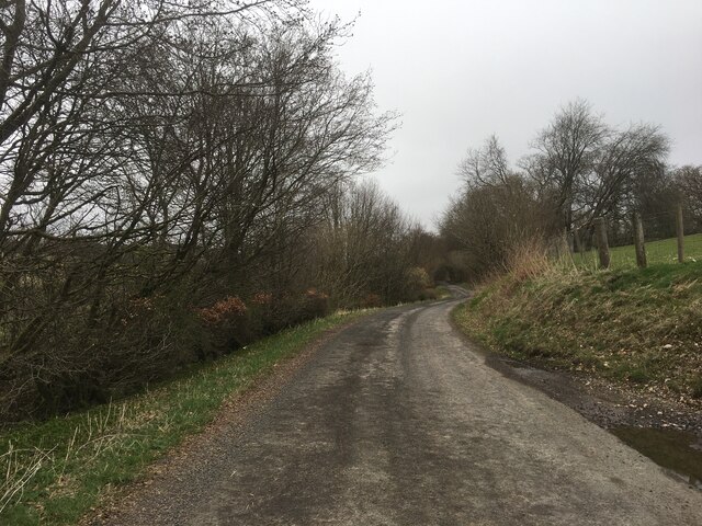
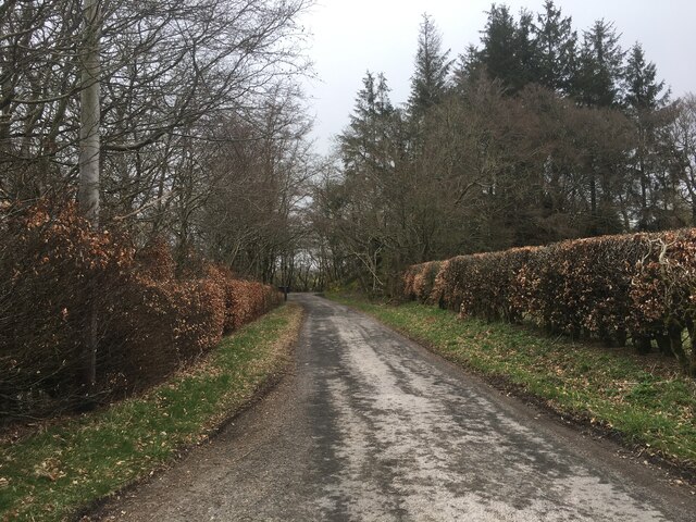
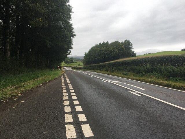
Visitors to Alton Cleuch can enjoy a variety of outdoor activities. The valley offers excellent opportunities for hiking, with a network of well-maintained trails that cater to different levels of difficulty. The surrounding hills provide a perfect setting for adventurous walks and breathtaking views.

For those interested in history and culture, Alton Cleuch is steeped in a rich heritage. The area is home to several archaeological sites, including ancient standing stones and burial mounds, which offer insights into its past. The nearby village of Moffat, with its charming shops and cafes, is also worth a visit.

In conclusion, Alton Cleuch is a hidden gem in Dumfriesshire, Scotland. Its stunning natural landscapes, abundant wildlife, and rich history make it a must-visit destination for nature lovers and history enthusiasts alike. Whether you seek peaceful walks in nature or a glimpse into the region's past, Alton Cleuch has something to offer everyone.

If you have any feedback on the listing, please let us know in the comments section below.
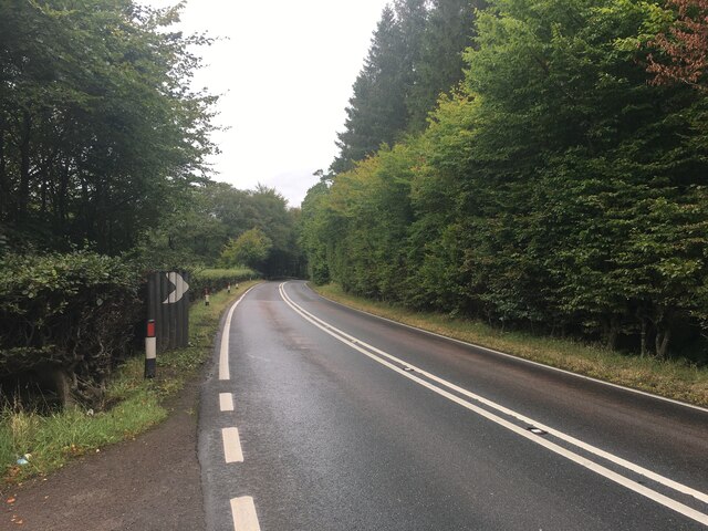
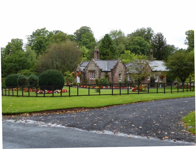
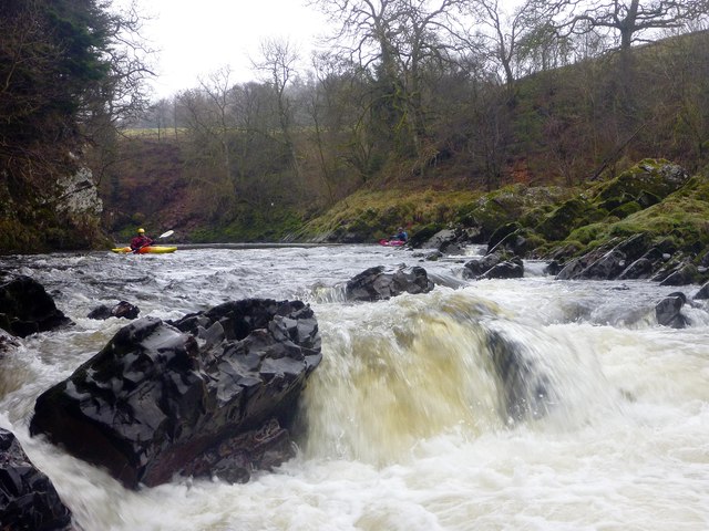
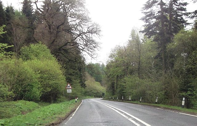
Alton Cleuch Images

Images are sourced within 2km of 55.294384/-3.8063096 or Grid Reference NS8501. Thanks to Geograph Open Source API. All images are credited.

Drumlanrig Mains In parkland overlooking the River Nith.
Drumlanrig Mains
In parkland overlooking the River Nith.
Minor road near Marr
Minor road near Breconside
A76 towards Sanquhar
Drumlanrig Bridge Cottage Beautifully adorned cottage on approach to Drumlanrig Castle.
Drumlanrig Bridge Cottage
Beautifully adorned cottage on approach to Drumlanrig Castle.
Drumlanrig Park Cross country fences in Drumlanrig Park.
Drumlanrig Park
Cross country fences in Drumlanrig Park.
Rapids on the Nith The Nith is one of those rivers that gives good sport over a wide range of levels. It's quite a low level here, which makes the rocky rapids technical rather than pushy, as the paddler must manoeuvre quickly to get round the rocks. As the level rises the rocks become covered, but create some sharp-crested waves and stoppers to catch the unwary.
Rapids on the Nith
The Nith is one of those rivers that gives good sport over a wide range of levels. It's quite a low level here, which makes the rocky rapids technical rather than pushy, as the paddler must manoeuvre quickly to get round the rocks. As the level rises the rocks become covered, but create some sharp-crested waves and stoppers to catch the unwary.
A76 bends near Spion Kop
Warning sign for Drumlanrig Castle turning A76 south
Warning sign for Drumlanrig Castle turning
A76 south
Lay by on A76 near Carseknowes Quarry
Turning for Drumlanrig Castle
Road to Sanquhar near Auchensell Wood
Road to Dumfries near Carse Knowes
Farmland at Carse Knowes
Track into Auchensell Wood On the left is the A76 to Sanquhar.
Track into Auchensell Wood
On the left is the A76 to Sanquhar.
Farmland near Carse Knowes
A76, Drumlanrig Castle
Show me another place!

Alton Cleuch is located at Grid Ref: NS8501 (Lat: 55.294384, Lng: -3.8063096)

Unitary Authority: Dumfries and Galloway

Police Authority: Dumfries and Galloway

What 3 Words

///together.mavericks.bunch. Near Thornhill, Dumfries & Galloway

Related Wikis

Drumlanrig Castle

Drumlanrig Castle is situated on the Queensberry Estate in Dumfries and Galloway, Scotland. The category A listed castle is the Dumfriesshire home of the...

Drumlanrig

Drumlanrig (Scottish Gaelic: Druim Lannraig) is a settlement in Dumfries and Galloway, Scotland, which is best known for nearby Drumlanrig Castle. The...

Enterkinfoot

Enterkinfoot is a small village or hamlet which lies 6 miles (9.7 km) north of Thornhill on the A76 on the route to Sanquhar, in Dumfriesshire, Durisdeer...

Carronbridge railway station

Carronbridge railway station was a railway station in Dumfries and Galloway north of Dumfries, serving the village of Carronbridge and district. The station...

Nearby Amenities

Located within 500m of 55.294384,-3.8063096
Description: start of Gorge
Lat/Long: 55.2922103/-3.8008734
Alton Farm
Naptan AtcoCode: 680000117111
Naptan Bearing: N
Naptan BusStopType: CUS
Naptan CommonName: Alton Farm
Naptan Indicator: opp Road End
Naptan Landmark: Drumlanrig Castle
Naptan NaptanCode: 34238539
Naptan Notes: none
Naptan Street: U428
Naptan Verified: no
Source: naptan_import
Lat/Long: 55.2971507/-3.8097917
Alton Farm
Naptan AtcoCode: 680000117222
Naptan Bearing: S
Naptan BusStopType: CUS
Naptan CommonName: Alton Farm
Naptan Indicator: Road End
Naptan Landmark: Drumlanrig Castle
Naptan NaptanCode: 34238542
Naptan Notes: none
Naptan Street: U428
Naptan Verified: no
Source: naptan_import
Lat/Long: 55.2971254/-3.8096802
Power: pole
Lat/Long: 55.29079/-3.8085169
Power: pole
Lat/Long: 55.2916891/-3.8085924
Power: pole
Lat/Long: 55.2924864/-3.8086802
Power: pole
Lat/Long: 55.293425/-3.8084383
Power: pole
Lat/Long: 55.2922926/-3.8089883
Power: pole
Lat/Long: 55.2940723/-3.8082982
Power: pole
Lat/Long: 55.2947073/-3.8081734
Power: pole
Lat/Long: 55.2955818/-3.8080147
Power: pole
Lat/Long: 55.2964589/-3.8078899
Power: pole
Lat/Long: 55.2966518/-3.8071289
Power: pole
Lat/Long: 55.2968562/-3.8063556
Power: pole
Lat/Long: 55.2980033/-3.8076481
Power: pole
Lat/Long: 55.2988181/-3.8075171
The data included in this document is from www.openstreetmap.org. The data is made available under ODbL.

Have you been to Alton Cleuch?

Leave your review of Alton Cleuch below (or comments, questions and feedback).