Broomstreet Combe
Valley in Somerset Somerset West and Taunton
England
Broomstreet Combe

Broomstreet Combe is a picturesque valley located in Somerset, England. Nestled within the rolling hills of the Quantock Hills Area of Outstanding Natural Beauty, this enchanting combe offers a tranquil and idyllic setting for visitors to explore and enjoy.
The valley is renowned for its natural beauty, with lush green meadows, ancient woodlands, and a meandering stream that flows through the heart of the combe. The surrounding hills provide a stunning backdrop, with their heather-covered slopes and panoramic views stretching out over the Somerset countryside.
Broomstreet Combe is home to a diverse range of wildlife, making it a haven for nature enthusiasts. Visitors may catch a glimpse of various bird species, including buzzards, owls, and woodpeckers, as well as small mammals like badgers and foxes. The combe's woodlands are also known for their impressive displays of bluebells in the springtime, creating a sea of vibrant blue hues.
For those seeking outdoor activities, Broomstreet Combe offers numerous walking trails and footpaths that wind through its enchanting landscapes. These trails cater to all levels of fitness and provide opportunities to explore the combe's natural wonders, including its ancient trees and wildflower meadows. The combe is also a popular spot for picnics, where visitors can relax and enjoy the serenity of their surroundings.
In summary, Broomstreet Combe is a captivating valley in Somerset, offering a peaceful retreat for nature lovers and outdoor enthusiasts alike. With its stunning landscapes and rich biodiversity, this hidden gem provides a refreshing escape from the hustle and bustle of everyday life.
If you have any feedback on the listing, please let us know in the comments section below.
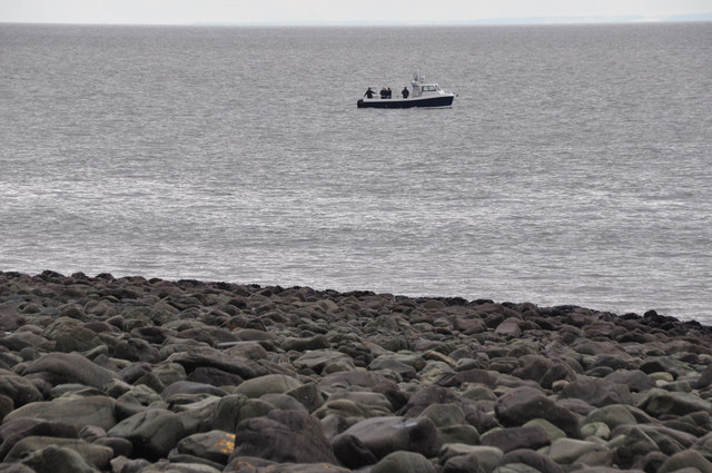
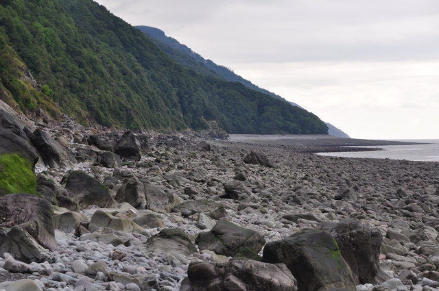
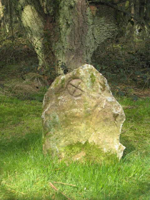
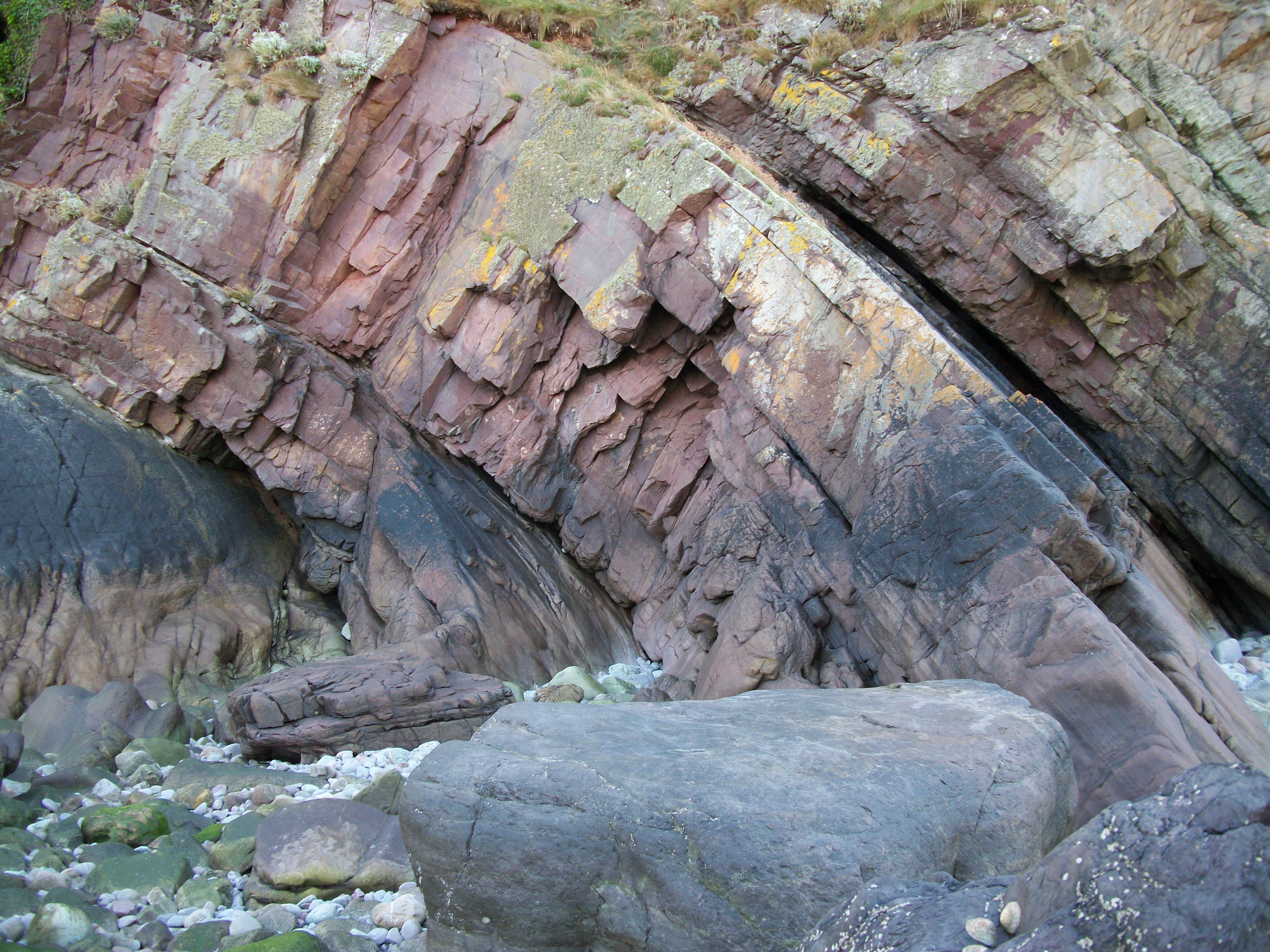
Broomstreet Combe Images
Images are sourced within 2km of 51.223468/-3.6967834 or Grid Reference SS8148. Thanks to Geograph Open Source API. All images are credited.


Broomstreet Combe is located at Grid Ref: SS8148 (Lat: 51.223468, Lng: -3.6967834)
Administrative County: Somerset
District: Somerset West and Taunton
Police Authority: Avon and Somerset
What 3 Words
///hacksaw.costly.helpers. Near Porlock, Somerset
Nearby Locations
Related Wikis

Church of St Mary, Oare
The Anglican Church of St Mary in Oare, Somerset, England, was built in the 15th century. It is a Grade II* listed building. == History == The nave and...
Culbone Stone
The Culbone Stone, an early mediaeval standing stone, is close to Culbone in the English county of Somerset. The stone is made from Hangman grit, a local...
Glenthorne
Glenthorne (grid reference SS800497) is a 13.3 hectare geological Site of Special Scientific Interest in the parish of Oare within the Exmoor National...

Robber's Bridge
Robber's Bridge, or Robbers Bridge, is an old masonry arch bridge in the royal forest of Exmoor near Doone Valley, carrying the minor road from Porlock...

Oare Water
Oare Water passes through the village of Oare, on Exmoor in Somerset, England. It joins Badgworthy Water before flowing to Watersmeet and the Bristol Channel...

Badgworthy Water
Badgworthy Water is a small river which flows through Malmsmead on Exmoor, close to the border between Devon and Somerset, England. It merges with Oare...

East Lyn Valley
East Lyn Valley is a valley of Exmoor, covering northern Devon and western Somerset, England. The East Lyn River is formed from several main tributaries...

Malmsmead Bridge
Malmsmead Bridge is a 17th-century stone bridge which crosses Badgworthy Water in the hamlet of Malmsmead, on the road between Oare and Brendon. The Badgworthy...
Related Videos

A Coastal Hiking Trip, Part XVII, Day 2,Ed 'Sisters Fountain & Legend'by Sheila, JUly 21st 2020
As I progress I do eventually arrive at Sisters Fountain--no sign though, no plaque and located in quite a dark dull place with little ...
A Coastal Hiking Trip, Part XVIV,Day 2, The Descent to Brendon' by Sheila, July 21st 2020
Here we go folks section 2 of Day 2--the hike down thru the East Lyn River Combes, and back to Lynmouth, after leaving County ...
A walk at the infamous Lorna Doone Valley in Exmoor.
Today we walk in the footsteps of Lorna Doone. A novel by English author Richard Doddiridge Blackmore. Set in the late 17th ...

A Coastal Hiking Trip, Part XVIII, Day 2, 'County Gate At Last 'by Sheila, July 21st 2020
At Last I reach County Gate--the border between Somerset and Devon which I last visited in September 2019 on the coastal hike ...
Nearby Amenities
Located within 500m of 51.223468,-3.6967834Have you been to Broomstreet Combe?
Leave your review of Broomstreet Combe below (or comments, questions and feedback).