Blindwell Combe
Valley in Somerset Somerset West and Taunton
England
Blindwell Combe
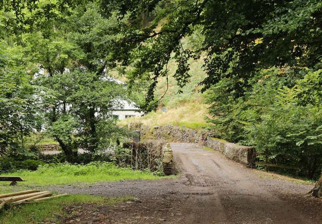
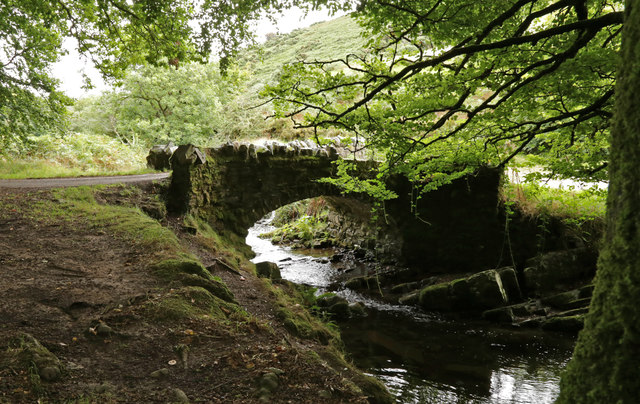
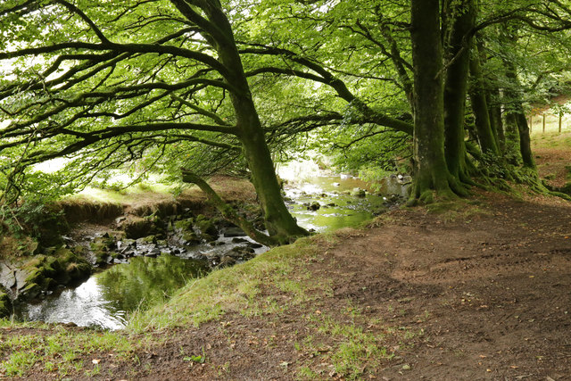
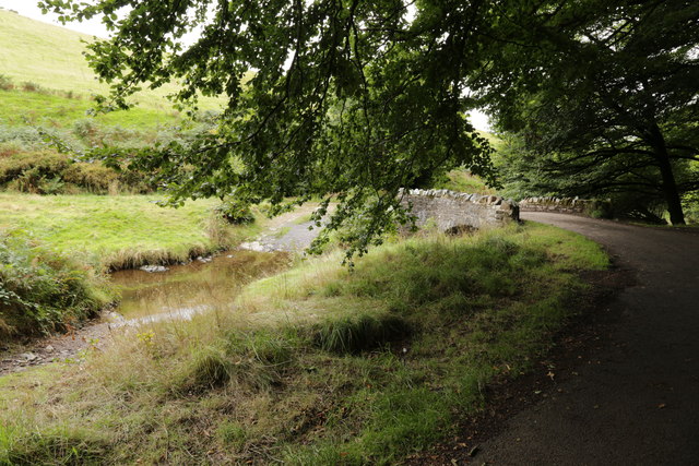
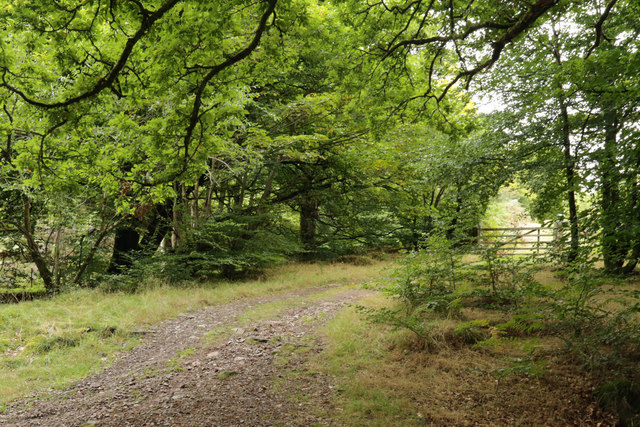
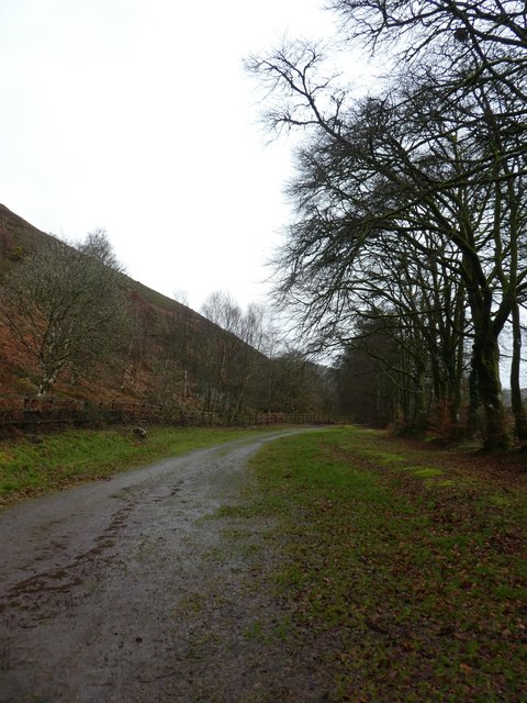
Blindwell Combe is a picturesque valley located in Somerset, a county in southwestern England. Nestled within the Mendip Hills, this enchanting combe attracts nature enthusiasts and hikers from near and far. The valley extends for approximately 2 miles and is surrounded by rolling hills and lush greenery, offering visitors a peaceful retreat from the hustle and bustle of daily life.
The combe is characterized by its diverse wildlife and abundant flora. Visitors can witness a wide range of bird species, including the rare blackcap and chiffchaff, as well as spot butterflies fluttering amongst the wildflowers. The valley is also home to various plant species such as bluebells, primroses, and foxgloves, adding bursts of color to the landscape throughout the seasons.
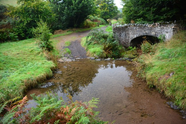
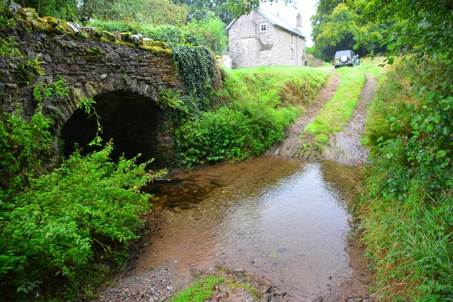
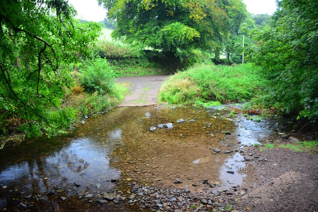
A clear stream meanders through the heart of Blindwell Combe, providing a refreshing water source for both wildlife and visitors. The tranquil sound of running water adds to the valley's serene atmosphere, making it a perfect spot for picnics or simply enjoying the natural surroundings.
For those seeking adventure, Blindwell Combe offers numerous walking trails that wind through the valley and lead to breathtaking viewpoints. These trails cater to different abilities, ensuring that everyone can explore the beauty of the combe at their own pace.
Overall, Blindwell Combe is a hidden gem in Somerset, offering visitors a chance to immerse themselves in nature's tranquility. With its stunning landscapes, abundant wildlife, and peaceful ambiance, it is a destination that will surely captivate the hearts of all who visit.
If you have any feedback on the listing, please let us know in the comments section below.
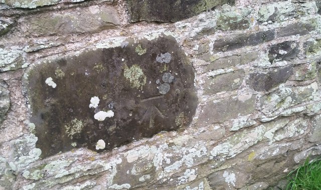
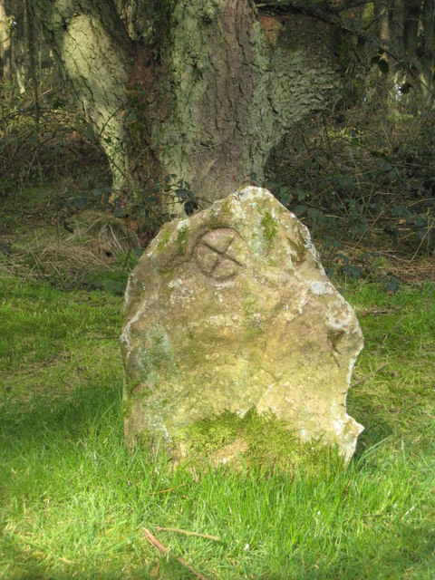
Blindwell Combe Images
Images are sourced within 2km of 51.194201/-3.700216 or Grid Reference SS8145. Thanks to Geograph Open Source API. All images are credited.


Blindwell Combe is located at Grid Ref: SS8145 (Lat: 51.194201, Lng: -3.700216)
Administrative County: Somerset
District: Somerset West and Taunton
Police Authority: Avon and Somerset
What 3 Words
///nitrogen.toolkit.schooling. Near Porlock, Somerset
Nearby Locations
Related Wikis

Oare, Somerset
Oare is a village and civil parish on Oare Water on Exmoor in the Somerset West and Taunton district of Somerset, England. It is located 6 miles (10 km...
Robber's Bridge
Robber's Bridge, or Robbers Bridge, is an old masonry arch bridge in the royal forest of Exmoor near Doone Valley, carrying the minor road from Porlock...

Church of St Mary, Oare
The Anglican Church of St Mary in Oare, Somerset, England, was built in the 15th century. It is a Grade II* listed building. == History == The nave and...

North Exmoor SSSI
North Exmoor (grid reference SS800430) is a 12,005.3-hectare (29,666-acre) biological Site of Special Scientific Interest (SSSI) in Devon and Somerset...
Culbone Stone
The Culbone Stone, an early mediaeval standing stone, is close to Culbone in the English county of Somerset. The stone is made from Hangman grit, a local...

Malmsmead Bridge
Malmsmead Bridge is a 17th-century stone bridge which crosses Badgworthy Water in the hamlet of Malmsmead, on the road between Oare and Brendon. The Badgworthy...

Porlock Stone Circle
Porlock Stone Circle is a stone circle located on Exmoor, near the village of Porlock in the south-western English county of Somerset. The Porlock ring...

Oare Water
Oare Water passes through the village of Oare, on Exmoor in Somerset, England. It joins Badgworthy Water before flowing to Watersmeet and the Bristol Channel...
Nearby Amenities
Located within 500m of 51.194201,-3.700216Have you been to Blindwell Combe?
Leave your review of Blindwell Combe below (or comments, questions and feedback).