The Cleugh
Valley in Dumfriesshire
Scotland
The Cleugh
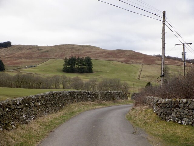
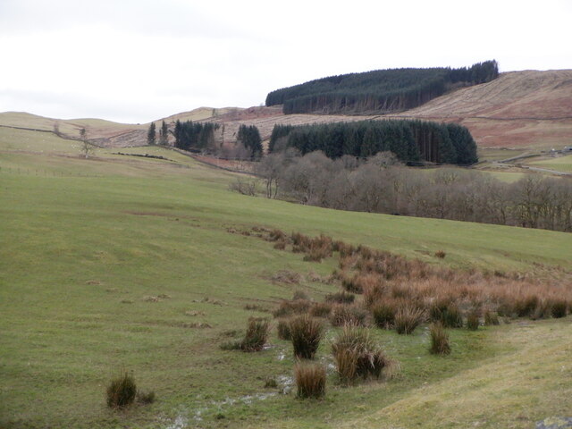
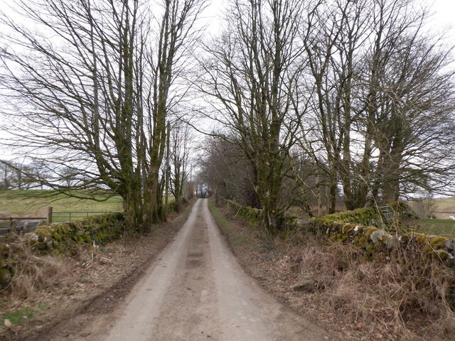
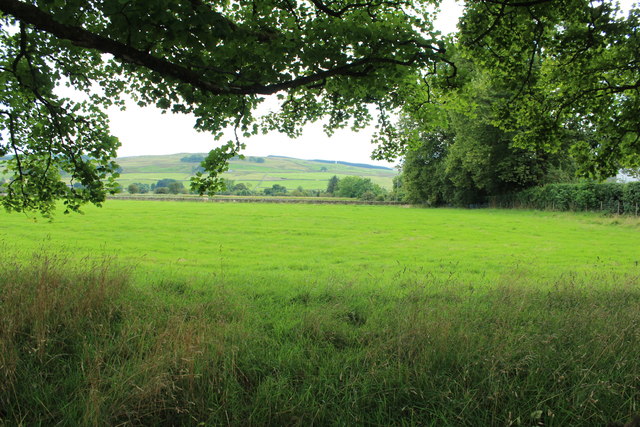
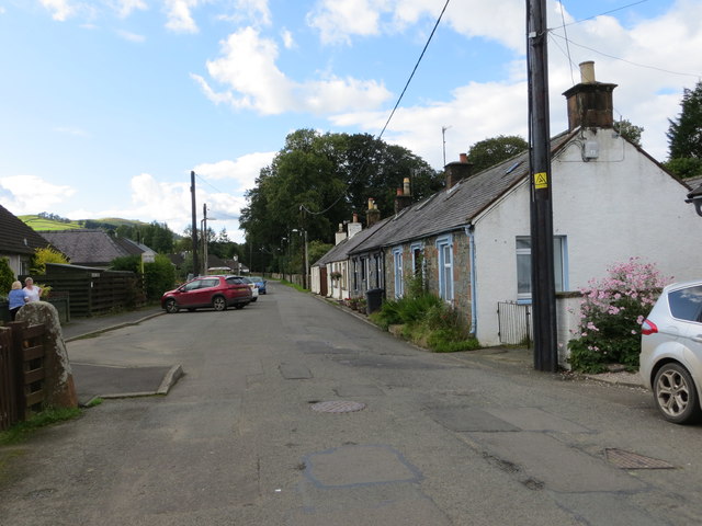
The Cleugh, located in Dumfriesshire, Scotland, is a picturesque valley renowned for its natural beauty and historical significance. Surrounded by rolling hills and lush greenery, this valley offers a tranquil escape from the bustling city life.
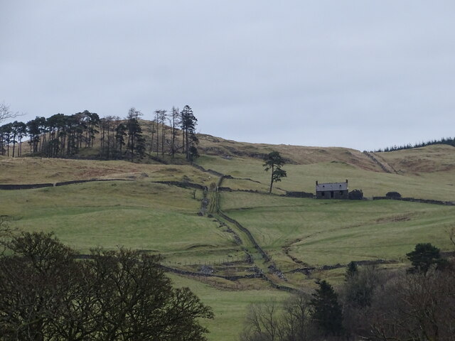
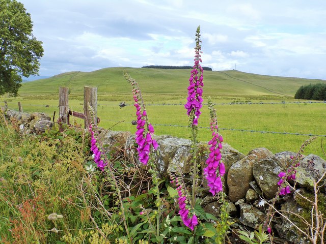
Stretching over several miles, The Cleugh is known for its stunning landscapes, with meandering rivers, cascading waterfalls, and dense woodlands. The valley is home to a diverse range of flora and fauna, making it a haven for nature enthusiasts and wildlife lovers. Visitors can spot various bird species, including buzzards, owls, and pheasants, as well as deer, rabbits, and other small mammals.
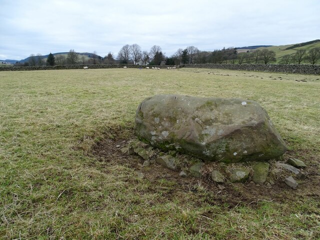
The Cleugh has also played a significant role in the region's history. It was once a vital transportation route, connecting nearby villages and serving as a trade route. The remnants of old bridges and pathways can still be found, offering glimpses into the past.
For outdoor enthusiasts, The Cleugh is a paradise for hiking, cycling, and fishing. There are several well-marked trails that cater to different skill levels, allowing visitors to explore the valley's hidden gems at their own pace. Fishing enthusiasts can indulge in the sport at the river, which is known for its abundance of salmon and trout.
The Cleugh truly offers a serene and idyllic escape, where visitors can immerse themselves in nature's wonders while experiencing the rich history of Dumfriesshire. Whether it's a peaceful stroll along the riverbank or an adventurous hike through the hills, The Cleugh is a must-visit destination for nature lovers and history buffs alike.
If you have any feedback on the listing, please let us know in the comments section below.
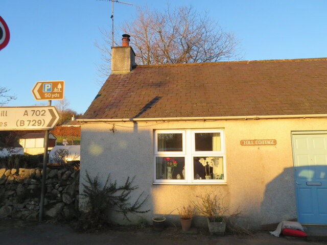
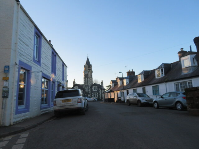
The Cleugh Images
Images are sourced within 2km of 55.19608/-3.8997405 or Grid Reference NX7990. Thanks to Geograph Open Source API. All images are credited.

The Cleugh is located at Grid Ref: NX7990 (Lat: 55.19608, Lng: -3.8997405)
Unitary Authority: Dumfries and Galloway
Police Authority: Dumfries and Galloway
What 3 Words
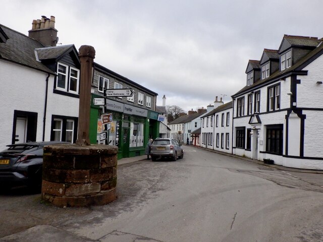
///sweeter.rural.second. Near Thornhill, Dumfries & Galloway
Nearby Locations
Related Wikis

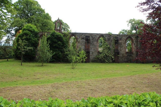
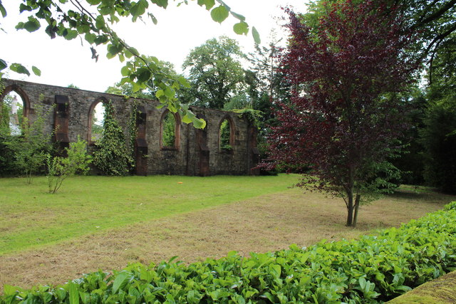
Crawfordton House
Crawfordton House is a category B listed 19th-century country house, situated close to Moniaive in Dumfriesshire, Scotland. It was operated as Crawfordton...

Cademuir International School
Cademuir International School was a specialist school at Moniaive in Dumfries and Galloway, Scotland. The school, founded by Robert Mulvey in 1990, was...

Moniaive railway station
Moniaive railway station is the closed station terminus of the Cairn Valley Light Railway (CVR) branch, from Dumfries. It served the rural area of Moniaive...

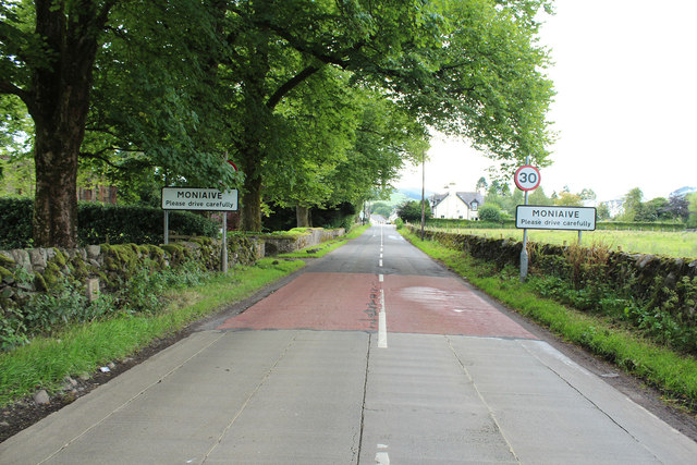
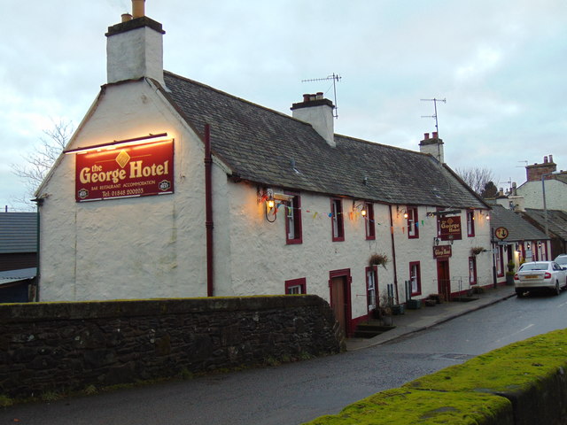
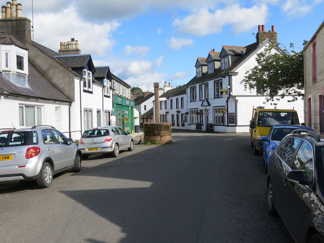
Moniaive
Moniaive ( 'monny-IVE'; Scottish Gaelic: Am Moine Naomh, "The Holy Moor") is a village in the Parish of Glencairn, in Dumfries and Galloway, southwest...

Glencairn, Dumfries and Galloway
Glencairn is an ecclesiastical and civil parish in Dumfries and Galloway, Scotland. == Location == According to John Bartholomew's 1887 Gazetteer of the...
Kirkland railway station
Kirkland railway station (NX810897) was one of the minor stations on the Cairn Valley Light Railway branch, from Dumfries. It served the rural area around...

Tynron
Tynron is a village and civil parish in Dumfries and Galloway, south-west Scotland, lying in a hollow of the Shinnel Water, 2 miles (3.2 km) from Moniaive...
Tynron Doon
Tynron Doon is a multivallate Iron Age hill fort outside the village of Tynron in Dumfries and Galloway, Scotland. It was occupied on and off from the...
Nearby Amenities
Located within 500m of 55.19608,-3.8997405Have you been to The Cleugh?
Leave your review of The Cleugh below (or comments, questions and feedback).