Ceunant Bryn-y-grûg

Valley in Caernarfonshire

Wales

Ceunant Bryn-y-grûg

The entrance to Pen-y-ffrîdd
The entrance to Pen-y-ffrîdd Credit: David Medcalf

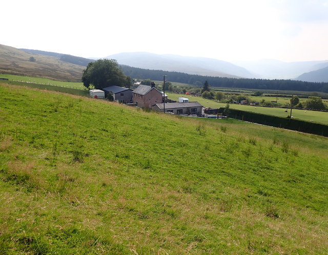
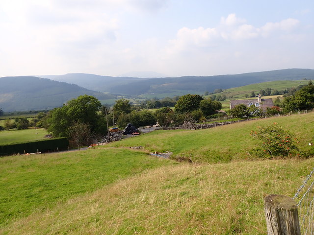
Ceunant Bryn-y-grûg is a stunning valley located in Caernarfonshire, Wales. With its picturesque scenery and remarkable natural beauty, it has become a popular destination for nature lovers and outdoor enthusiasts.

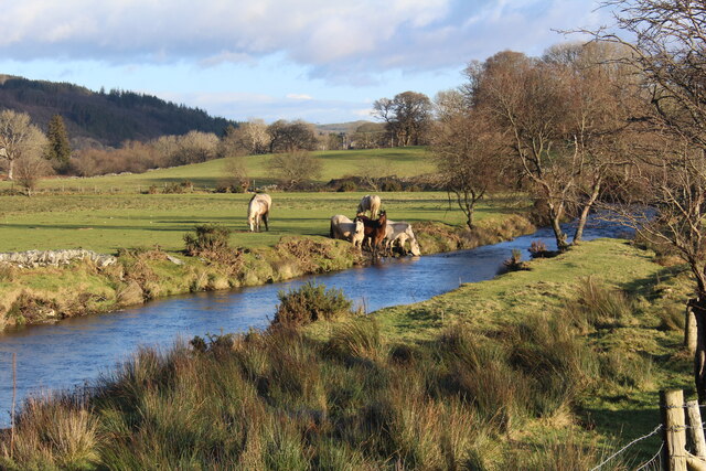
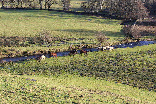
Situated near the town of Caernarfon, the valley is nestled between the towering peaks of Snowdonia National Park, offering breathtaking views of the surrounding mountains and lush greenery. The valley is home to a meandering river, which adds to its charm and tranquility.

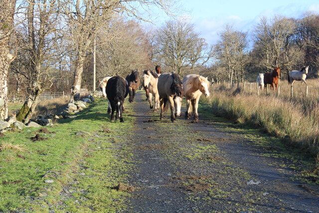
Ceunant Bryn-y-grûg is renowned for its diverse flora and fauna, making it a paradise for wildlife enthusiasts. The valley is covered in a thick blanket of ancient woodland, with a variety of trees including oak, birch, and ash. This rich vegetation provides habitat for a wide range of bird species, including the rare red kite and peregrine falcon.

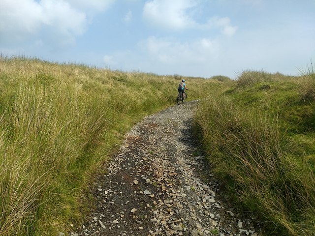
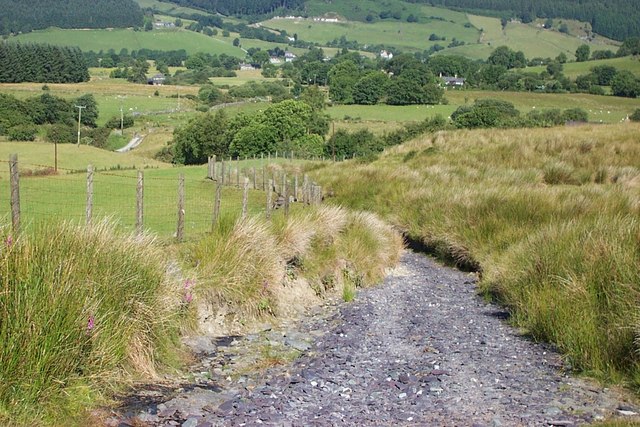
The valley also boasts several walking trails and hiking routes, attracting outdoor enthusiasts who wish to explore its beauty. The paths take visitors through enchanting forests, past cascading waterfalls, and along the riverbanks, offering a chance to immerse themselves in nature.

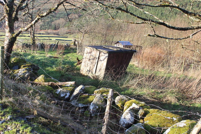
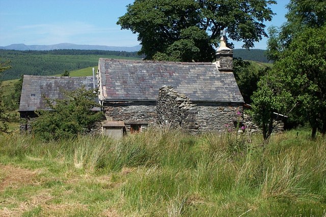
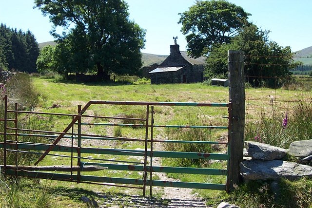
Additionally, the valley is home to a small community of residents who have chosen to live in this idyllic setting. They appreciate the peacefulness and close connection to nature that Ceunant Bryn-y-grûg offers.

In conclusion, Ceunant Bryn-y-grûg is a breathtaking valley in Caernarfonshire, Wales, known for its stunning scenery, abundant wildlife, and numerous outdoor activities. Whether it's hiking, birdwatching, or simply enjoying the tranquility, visitors are sure to be captivated by the natural beauty of this hidden gem.

If you have any feedback on the listing, please let us know in the comments section below.

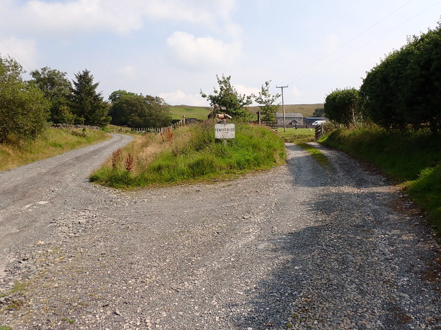
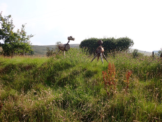
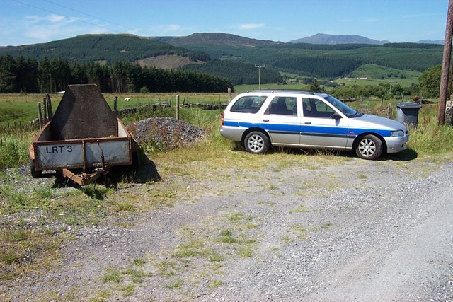
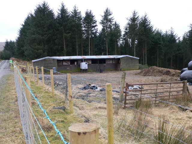
Ceunant Bryn-y-grûg Images

Images are sourced within 2km of 53.027914/-3.8053298 or Grid Reference SH7949. Thanks to Geograph Open Source API. All images are credited.

The entrance to Pen-y-ffrîdd
Strange animals at Pen-y-ffrîdd
Looking down on Cae-cwmpas
Looking down on Llanerchigwynion
The ancient track to Ysbyty Ifan
A lean to Or is it a listed building?
Anyway it has seen better days.
A lean to
Or is it a listed building? Anyway it has seen better days.
We're being followed Privately owned but they do not like 'their' territory, a public footpath, invaded. 
I am told there are Polish horses included in the herd. I am uncertain as to the breed.
They subsequently jumped over the wall to their right and raced across the fields below and were seen later on our walk - watering in the Afon Machno.
<a href="https://www.geograph.org.uk/photo/7370040">SH7849 : Watering time for the horses</a>
We're being followed
Privately owned but they do not like 'their' territory, a public footpath, invaded. I am told there are Polish horses included in the herd. I am uncertain as to the breed. They subsequently jumped over the wall to their right and raced across the fields below and were seen later on our walk - watering in the Afon Machno. SH7849 : Watering time for the horses
Watering time for the horses On the Afon Machno riverbank.
Watering time for the horses
On the Afon Machno riverbank.
Down by the riverside On the Afon Machno.
Down by the riverside
On the Afon Machno.
Footpath above Cae-cwmpas Footpath above Cae-cwmpas at SH 80510 49482 looking northwestwards.
Footpath above Cae-cwmpas
Footpath above Cae-cwmpas at SH 80510 49482 looking northwestwards.
Blaen-y-buarth farmhouse Blaen-y-buarth farmhouse at SH 80299 49850 above Penmachno.
Blaen-y-buarth farmhouse
Blaen-y-buarth farmhouse at SH 80299 49850 above Penmachno.
Gate near Blaen-y-buarth above Penmachno This gate is on the footpath between Ty'n y Cae and Blaen-y-buarth above Penmachno at grid reference SH 80276 49942.
Gate near Blaen-y-buarth above Penmachno
This gate is on the footpath between Ty'n y Cae and Blaen-y-buarth above Penmachno at grid reference SH 80276 49942.
Lay-By near Cae Cwmpas This lay-by near Cae Cwmpas is the termination of the minor road that runs from Penmachno at grid reference SH 80235 49614.
Lay-By near Cae Cwmpas
This lay-by near Cae Cwmpas is the termination of the minor road that runs from Penmachno at grid reference SH 80235 49614.
Moorland to the east of Penmachno The village can be seen centre-right.
Moorland to the east of Penmachno
The village can be seen centre-right.
View from Bryn Llech down the Machno valley
Cae Cwmpas Hillside farm south east of Penmachno
Cae Cwmpas
Hillside farm south east of Penmachno
Blot on the landscape The remains of several vehicles beside the bridleway between Penmachno and Ysbyty Ifan.
Blot on the landscape
The remains of several vehicles beside the bridleway between Penmachno and Ysbyty Ifan.
Stables by the forest Approaching part of the Gwydir Forest, near Penmachno.
Stables by the forest
Approaching part of the Gwydir Forest, near Penmachno.
Show me another place!

Ceunant Bryn-y-grûg is located at Grid Ref: SH7949 (Lat: 53.027914, Lng: -3.8053298)

Unitary Authority: Conwy

Police Authority: North Wales

What 3 Words

///bullion.juggler.destiny. Near Betws-y-Coed, Conwy

Related Wikis

Penmachno

Penmachno is a village in the isolated upland Machno valley, 4 miles (6 km) south of Betws-y-Coed in the county of Conwy, North Wales. The B4406 road runs...

Bro Machno

Bro Machno is a community in Conwy County Borough, in Wales, formed from the former civil parish of Penmachno. It covers the Penmachno Valley, through...

Rhiw Llwyd

Rhiw Llwyd is the name of an early medieval Wales lordship which was created in the Kingdom of Gwynedd in the 12th century for Tomas ap Rhodri ab Owain...
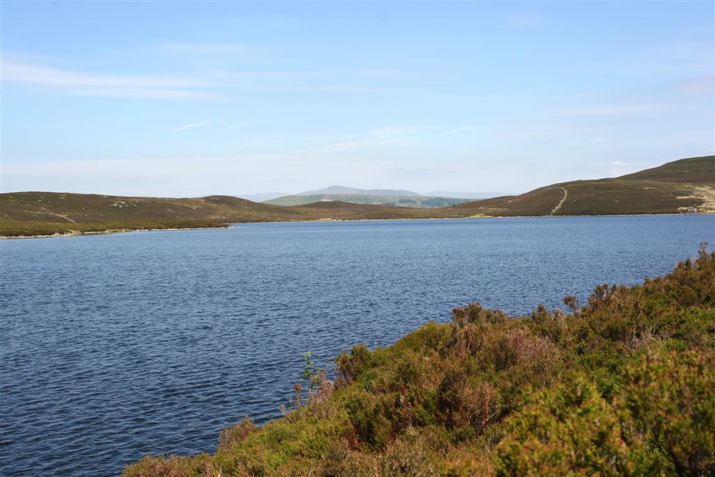
Llyn Conwy

Llyn Conwy (SH780462) is a lake in the county of Conwy in central north Wales. It is the source of the River Conwy which, on flowing south out of the lake...

Nearby Amenities

Located within 500m of 53.027914,-3.8053298
Place: isolated_dwelling
Lat/Long: 53.029433/-3.8073155
The data included in this document is from www.openstreetmap.org. The data is made available under ODbL.

Have you been to Ceunant Bryn-y-grûg?

Leave your review of Ceunant Bryn-y-grûg below (or comments, questions and feedback).